Manchester is a census-designated place (CDP) in Hartford County, Connecticut, United States, comprising the urban center of the town of Manchester. As of the 2010 census, the population of the CDP was 30,577, out of 58,241 in the entire town.
| Name: | Manchester CDP |
|---|---|
| LSAD Code: | 57 |
| LSAD Description: | CDP (suffix) |
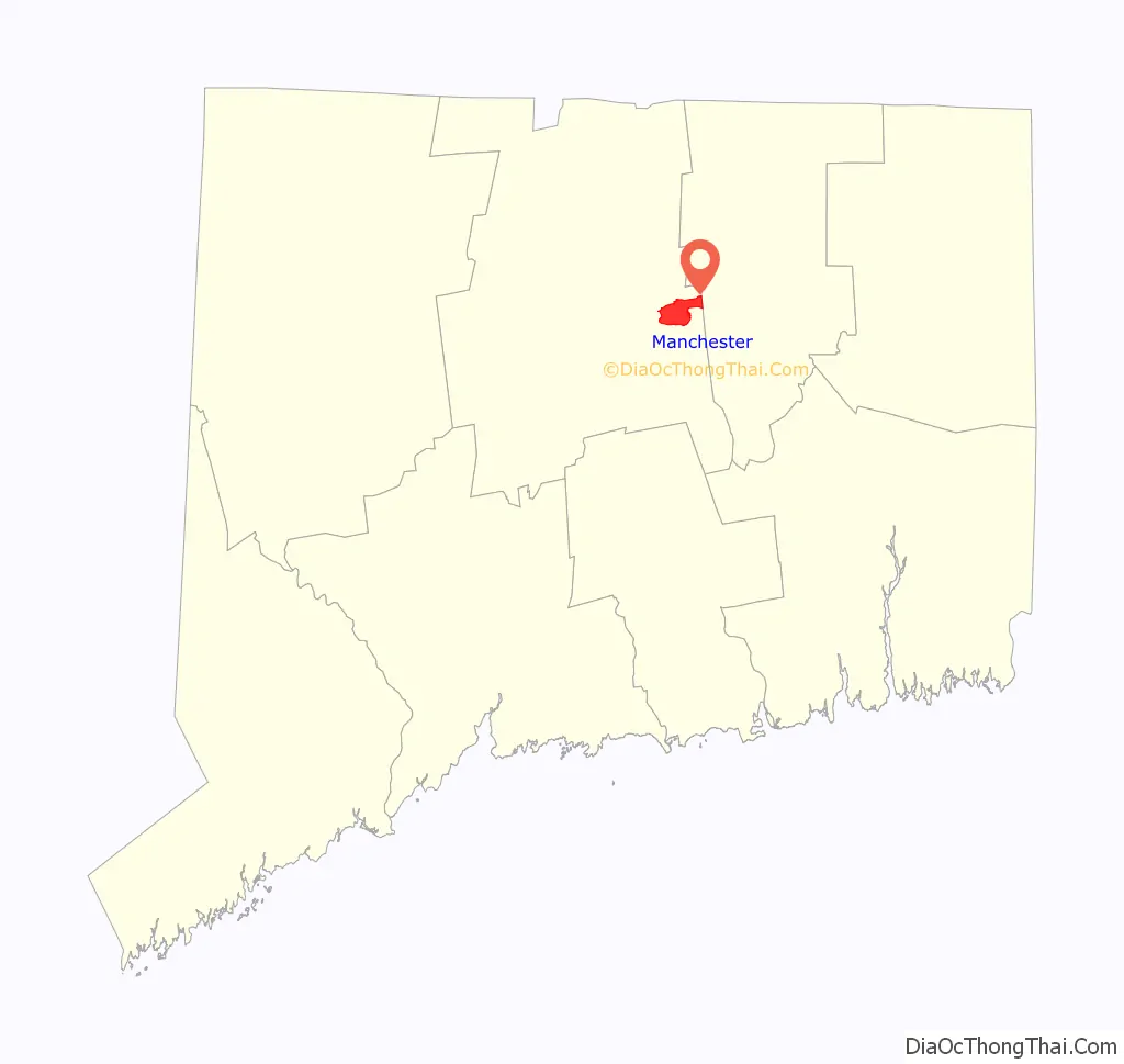
| State: | Connecticut |
| County: | Hartford County |
| Elevation: | 272 ft (83 m) |
| Total Area: | 6.50 sq mi (16.83 km²) |
| Land Area: | 6.46 sq mi (16.74 km²) |
| Water Area: | 0.03 sq mi (0.09 km²) |
| Total Population: | 30,577 |
| Population Density: | 4,731/sq mi (1,826.7/km²) |
| ZIP code: | 06040, 06042 |
| FIPS code: | 0944690 |
| GNISfeature ID: | 2378342 |
Online Interactive Map
Click on ![]() to view map in "full screen" mode.
to view map in "full screen" mode.
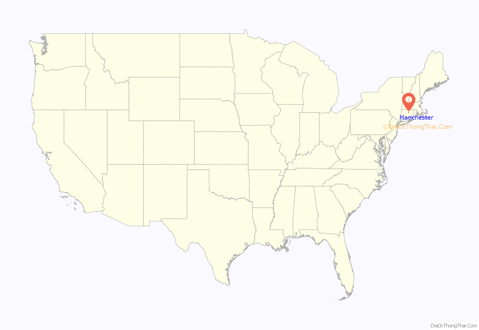
Manchester location map. Where is Manchester CDP?
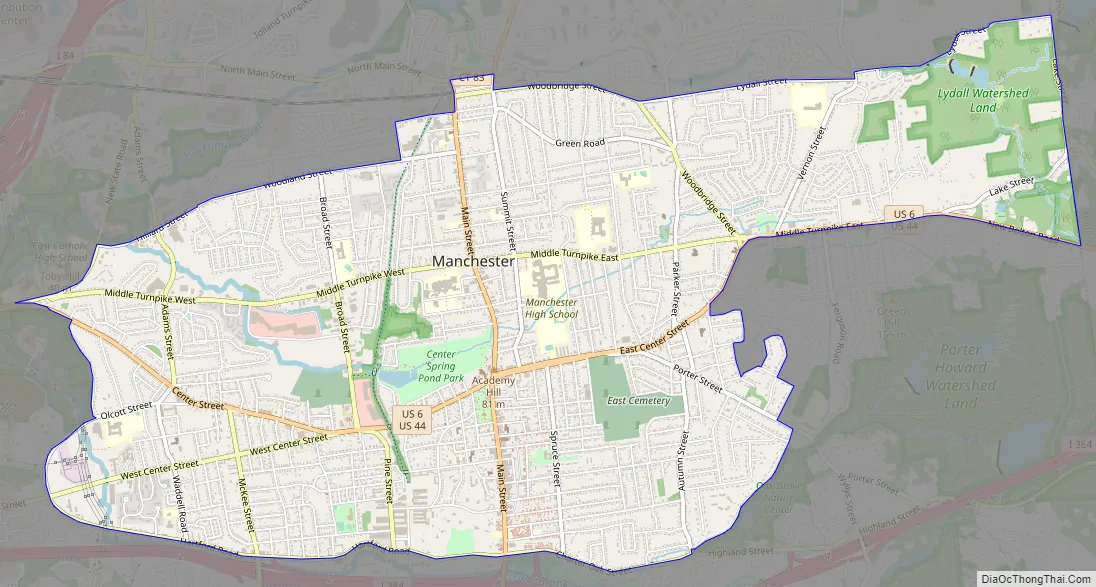
Manchester Road Map
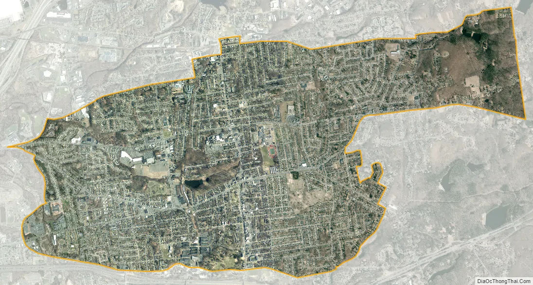
Manchester city Satellite Map
Geography
The Manchester CDP occupies the central part of the town of Manchester and extends east to the town boundary with Bolton. The northern edge of the CDP primarily follows Lydall Street, Woodbridge Street, and Woodland Street. The CDP extends west as far as New State Road, Love Lane, and Olcott Street, and the southern edge of the CDP follows Hartford Road, Charter Oak Street, and Oak Grove Street. The easternmost part of the CDP is bordered to the south by U.S. Routes 6 and 44, from Pitkin Street to the Bolton town line.
U.S. Routes 6 and 44 run together through the center of Manchester as Center Street and exit the community to the east as Middle Turnpike and New Bolton Road. Both highways lead west 8 miles (13 km) to Hartford, the state capital. To the east, US 6 leads 18 miles (29 km) to Willimantic, while US 44 leads 15 miles (24 km) to Storrs. Interstate 384 passes just south of the Manchester CDP, with access from Exits 1 through 5. Connecticut Route 83 passes through the center of Manchester as Main Street, leading north 2.5 miles (4.0 km) to Interstate 84 in the northern corner of the town of Manchester and south 7 miles (11 km) to the Connecticut Route 2 freeway in East Glastonbury.
According to the U.S. Census Bureau, the Manchester CDP has an area of 6.5 square miles (16.8 km), of which 0.03 square miles (0.09 km), or 0.56%, are water. The CDP drains west to the Hockanum River, a tributary of the Connecticut River.
See also
Map of Connecticut State and its subdivision: Map of other states:- Alabama
- Alaska
- Arizona
- Arkansas
- California
- Colorado
- Connecticut
- Delaware
- District of Columbia
- Florida
- Georgia
- Hawaii
- Idaho
- Illinois
- Indiana
- Iowa
- Kansas
- Kentucky
- Louisiana
- Maine
- Maryland
- Massachusetts
- Michigan
- Minnesota
- Mississippi
- Missouri
- Montana
- Nebraska
- Nevada
- New Hampshire
- New Jersey
- New Mexico
- New York
- North Carolina
- North Dakota
- Ohio
- Oklahoma
- Oregon
- Pennsylvania
- Rhode Island
- South Carolina
- South Dakota
- Tennessee
- Texas
- Utah
- Vermont
- Virginia
- Washington
- West Virginia
- Wisconsin
- Wyoming


