Norfolk is a census-designated place (CDP) in Litchfield County, Connecticut, United States. It is the central village within the town of Norfolk. As of the 2010 census, the population of the CDP was 553, out of 1,709 in the entire town.
| Name: | Norfolk CDP |
|---|---|
| LSAD Code: | 57 |
| LSAD Description: | CDP (suffix) |
| State: | Connecticut |
| County: | Litchfield County |
| Elevation: | 1,265 ft (386 m) |
| Total Area: | 0.93 sq mi (2.41 km²) |
| Land Area: | 0.93 sq mi (2.41 km²) |
| Water Area: | 0.0 sq mi (0.0 km²) |
| Total Population: | 553 |
| Population Density: | 595/sq mi (229.6/km²) |
| ZIP code: | 06058 |
| FIPS code: | 0953400 |
| GNISfeature ID: | 209306 |
Online Interactive Map
Click on ![]() to view map in "full screen" mode.
to view map in "full screen" mode.
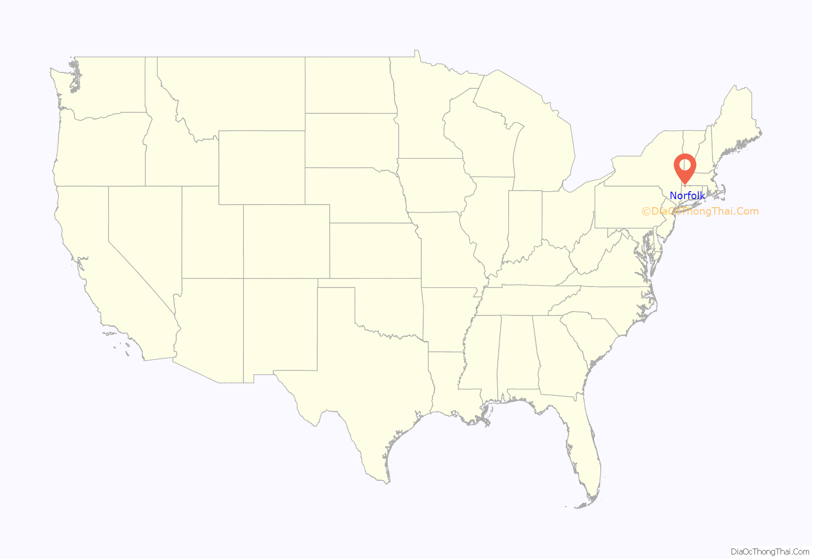
Norfolk location map. Where is Norfolk CDP?
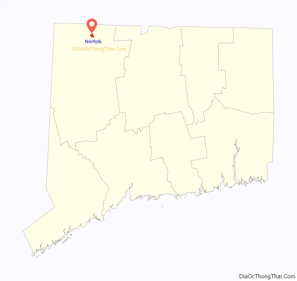
Norfolk Road Map
Norfolk city Satellite Map
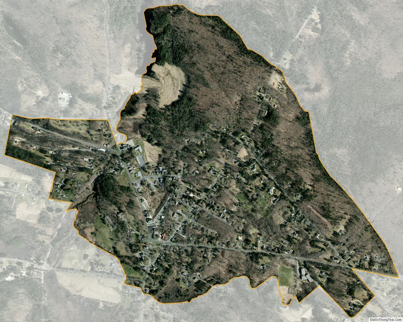
Geography
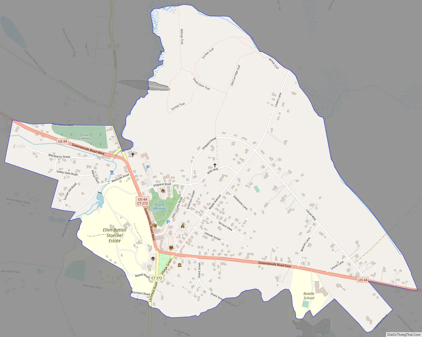
Norfolk is in northwestern Connecticut, in the Litchfield Hills. It includes the Norfolk Historic District, which covers the historic center of the village, but also extends west to include Old Colony Road, Blackberry Street, and Valley View Road, north to include Shepard Road, east to include Laurel Way and Beacon Lane, and south to include Highfield Road, Grant Street, and Battell Road. It is bordered to the northwest by Haystack Mountain State Park.
U.S. Route 44 passes through the center of the community, leading west 7 miles (11 km) to Canaan village and southeast 10 miles (16 km) to Winsted. Connecticut Route 272 joins US 44 through the center of Norfolk but leads south 15 miles (24 km) to Torrington and north 4 miles (6 km) to the Massachusetts border.
According to the U.S. Census Bureau, the Norfolk CDP has a total area of 0.93 square miles (2.4 km), all of it recorded as land. Wood Creek, Norfolk Brook, and Spaulding Brook run along the edges of the CDP, joining in the western part to form the Blackberry River, a west-flowing tributary of the Housatonic River.
See also
Map of Connecticut State and its subdivision: Map of other states:- Alabama
- Alaska
- Arizona
- Arkansas
- California
- Colorado
- Connecticut
- Delaware
- District of Columbia
- Florida
- Georgia
- Hawaii
- Idaho
- Illinois
- Indiana
- Iowa
- Kansas
- Kentucky
- Louisiana
- Maine
- Maryland
- Massachusetts
- Michigan
- Minnesota
- Mississippi
- Missouri
- Montana
- Nebraska
- Nevada
- New Hampshire
- New Jersey
- New Mexico
- New York
- North Carolina
- North Dakota
- Ohio
- Oklahoma
- Oregon
- Pennsylvania
- Rhode Island
- South Carolina
- South Dakota
- Tennessee
- Texas
- Utah
- Vermont
- Virginia
- Washington
- West Virginia
- Wisconsin
- Wyoming