Northwest Harwinton is a census-designated place (CDP) in the town of Harwinton in Litchfield County, Connecticut, United States. The population was 3,158 at the 2020 census, out of 5,484 in the entire town. The CDP contains the town center.
| Name: | Northwest Harwinton CDP |
|---|---|
| LSAD Code: | 57 |
| LSAD Description: | CDP (suffix) |
| State: | Connecticut |
| County: | Litchfield County |
| Elevation: | 820 ft (250 m) |
| Total Area: | 8.8 sq mi (22.8 km²) |
| Land Area: | 8.7 sq mi (22.5 km²) |
| Water Area: | 0.1 sq mi (0.3 km²) |
| Total Population: | 3,158 |
| Population Density: | 374/sq mi (144.3/km²) |
| ZIP code: | 06791 |
| FIPS code: | 0955725 |
| GNISfeature ID: | 2377844 |
Online Interactive Map
Click on ![]() to view map in "full screen" mode.
to view map in "full screen" mode.
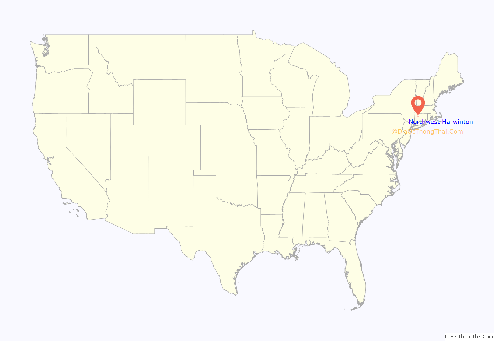
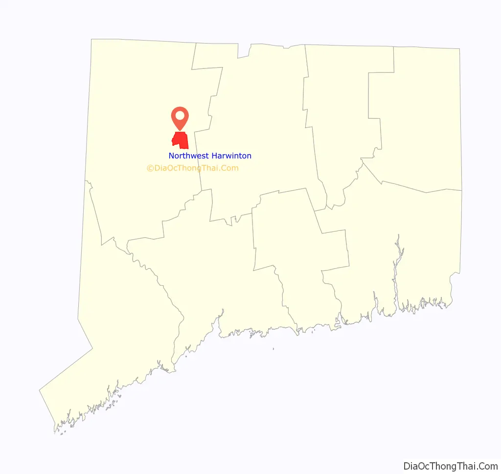
Northwest Harwinton location map. Where is Northwest Harwinton CDP?
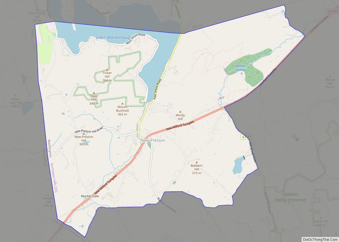
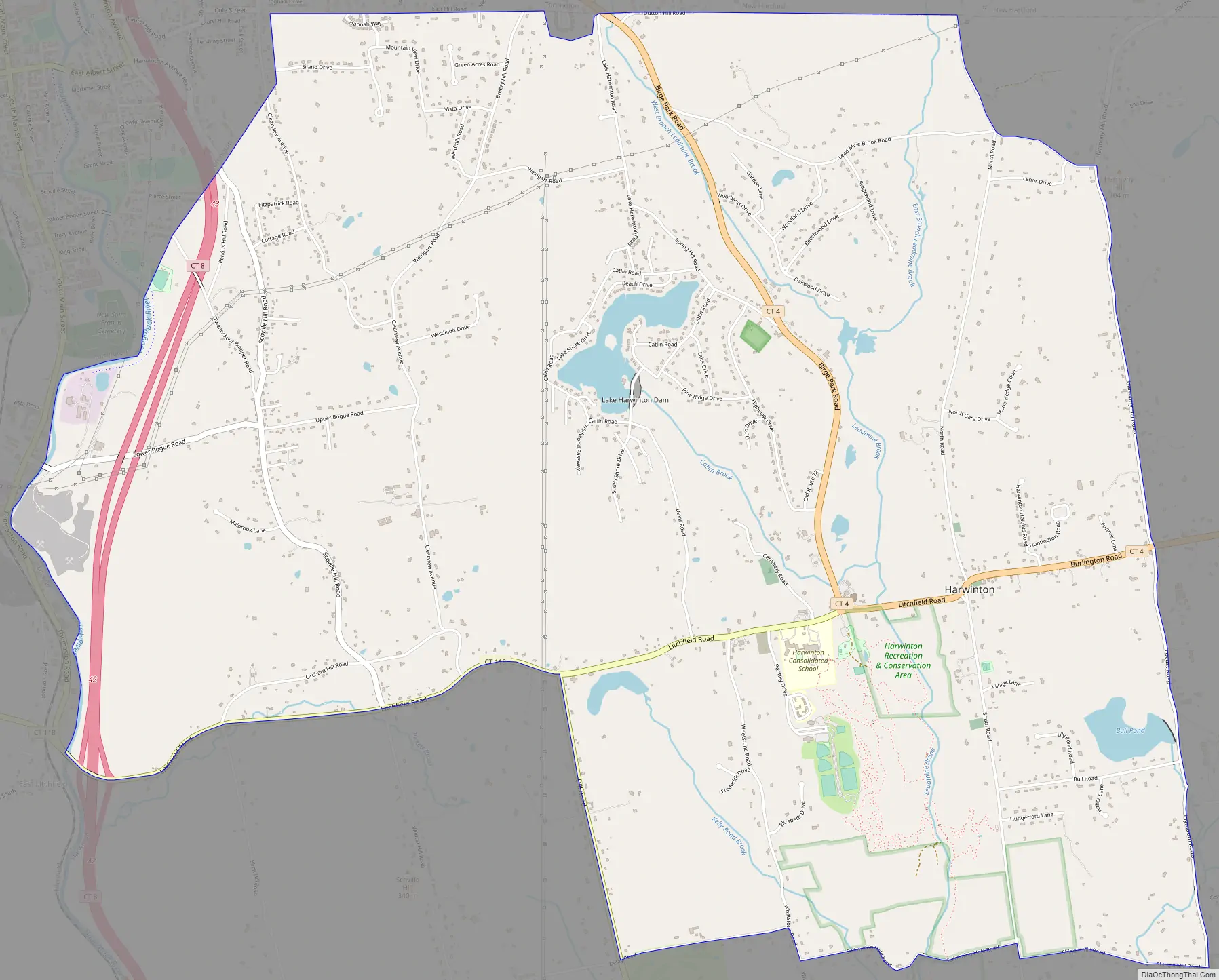
Northwest Harwinton Road Map
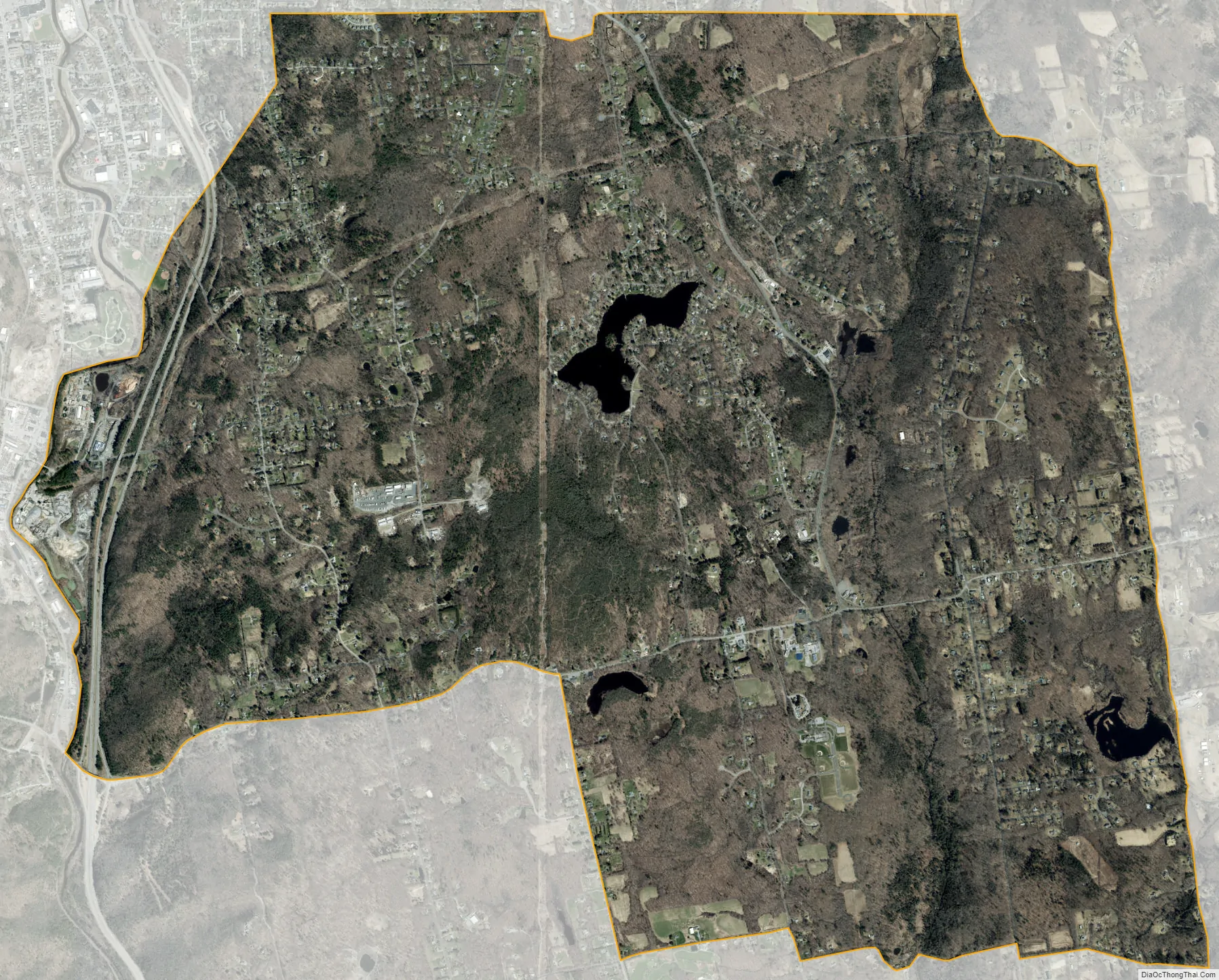
Northwest Harwinton city Satellite Map
Geography
The CDP occupies the northwestern quarter of the town of Harwinton, bordered to the north by the town of New Hartford, to the northwest by the city of Torrington, and to the west by the town of Litchfield. The southern edge of the CDP follows Connecticut Route 118 (Litchfield Road) west of Route 222 (Hill Road), and Delay Road, Swimming Hole Road, and Shingle Mill Road east of Route 222. The eastern edge of the CDP follows Plymouth Road, Harmony Hill Road, and North Road. The CDP includes the Harwinton town center at the intersection of Routes 118 and 4, as well as the residential community surrounding Lake Harwinton.
Route 4 leads east 20 miles (32 km) to West Hartford and northwest 5 miles (8 km) to Torrington, while Route 118 leads west 8 miles (13 km) to Litchfield borough, and Route 222 leads south 7 miles (11 km) to Thomaston.
According to the U.S. Census Bureau, the Northwest Harwinton CDP has a total area of 8.8 square miles (22.8 km), of which 8.7 square miles (22.5 km) are land and 0.1 square miles (0.3 km), or 1.25%, are water. The Naugatuck River forms the western edge of the CDP and the town of Harwinton.
See also
Map of Connecticut State and its subdivision: Map of other states:- Alabama
- Alaska
- Arizona
- Arkansas
- California
- Colorado
- Connecticut
- Delaware
- District of Columbia
- Florida
- Georgia
- Hawaii
- Idaho
- Illinois
- Indiana
- Iowa
- Kansas
- Kentucky
- Louisiana
- Maine
- Maryland
- Massachusetts
- Michigan
- Minnesota
- Mississippi
- Missouri
- Montana
- Nebraska
- Nevada
- New Hampshire
- New Jersey
- New Mexico
- New York
- North Carolina
- North Dakota
- Ohio
- Oklahoma
- Oregon
- Pennsylvania
- Rhode Island
- South Carolina
- South Dakota
- Tennessee
- Texas
- Utah
- Vermont
- Virginia
- Washington
- West Virginia
- Wisconsin
- Wyoming