Oakville is a census-designated place (CDP) and neighborhood section of Watertown, in Litchfield County, Connecticut, United States. The population was 9,047 as of the 2010 census. It is the most populous community in Watertown, with more than twice as many people as the center village of Watertown. The ZIP code for Oakville is 06779.
| Name: | Oakville CDP |
|---|---|
| LSAD Code: | 57 |
| LSAD Description: | CDP (suffix) |
| State: | Connecticut |
| County: | Litchfield County |
| Elevation: | 395 ft (120 m) |
| Total Area: | 3.28 sq mi (8.50 km²) |
| Land Area: | 3.25 sq mi (8.41 km²) |
| Water Area: | 0.03 sq mi (0.09 km²) |
| Total Population: | 9,047 |
| Population Density: | 2,787/sq mi (1,075.9/km²) |
| ZIP code: | 06779 |
| FIPS code: | 0956690 |
| GNISfeature ID: | 209448 |
Online Interactive Map
Click on ![]() to view map in "full screen" mode.
to view map in "full screen" mode.
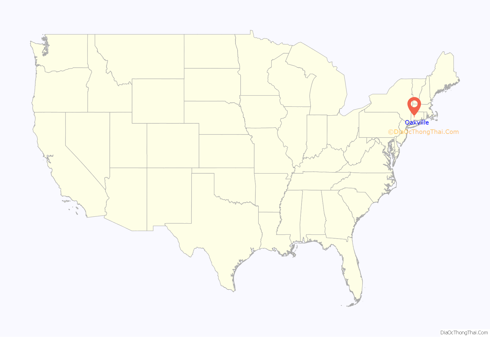
Oakville location map. Where is Oakville CDP?
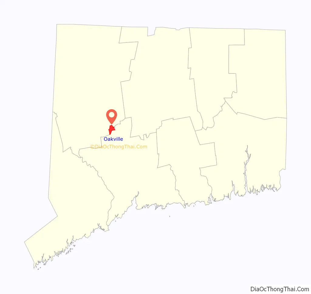
Oakville Road Map
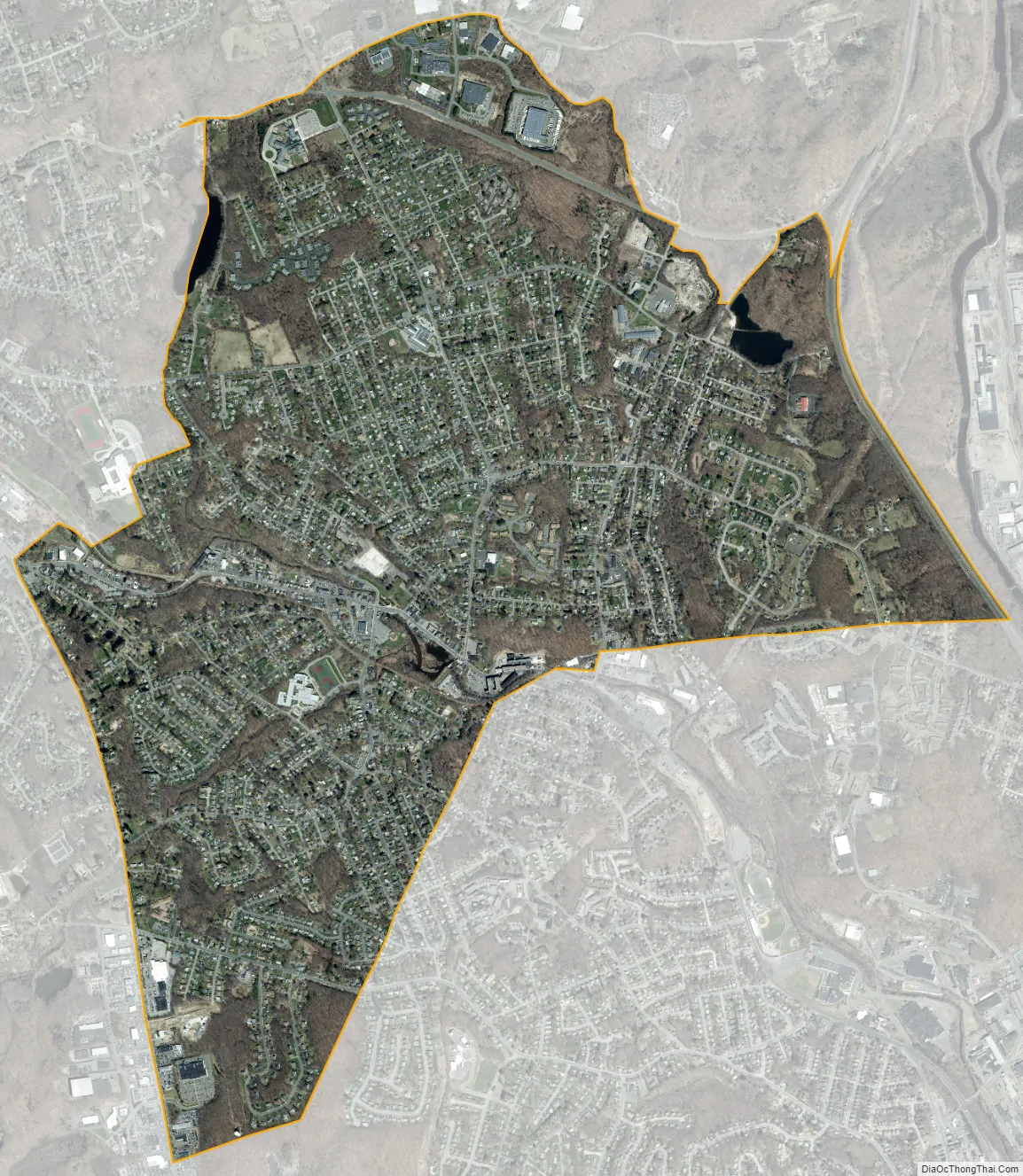
Oakville city Satellite Map
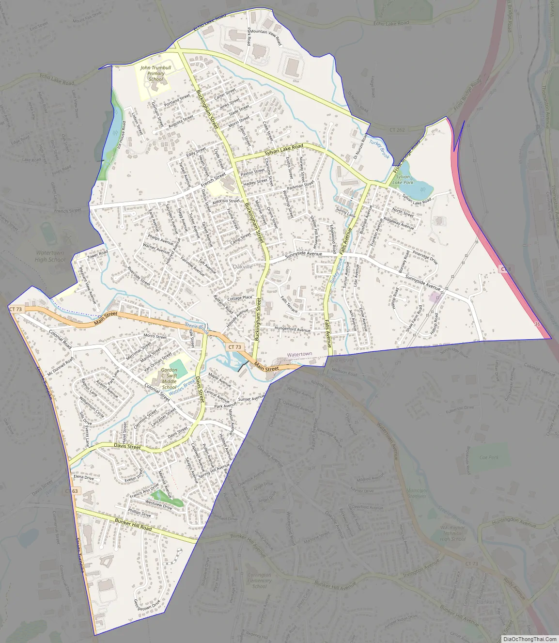
Geography
Oakville is in the southeast part of Watertown. It is bordered to the northwest by the village of Watertown and to the south by the city of Waterbury. The Connecticut Route 8 freeway forms the eastern edge of Oakville, with access from a half-exit at Connecticut Route 262. Oakville is 3 miles (5 km) north of Interstate 84 in Waterbury and 2 miles (3 km) southeast of U.S. Route 6.
According to the United States Census Bureau, the Oakville CDP has a total area of 3.3 square miles (8.5 km), of which 0.04 square miles (0.1 km), or 1.06%, are water. Steele Brook, a tributary of the Naugatuck River, flows through Oakville, with a dam in the center of town forming Pin Shop Pond.
See also
Map of Connecticut State and its subdivision: Map of other states:- Alabama
- Alaska
- Arizona
- Arkansas
- California
- Colorado
- Connecticut
- Delaware
- District of Columbia
- Florida
- Georgia
- Hawaii
- Idaho
- Illinois
- Indiana
- Iowa
- Kansas
- Kentucky
- Louisiana
- Maine
- Maryland
- Massachusetts
- Michigan
- Minnesota
- Mississippi
- Missouri
- Montana
- Nebraska
- Nevada
- New Hampshire
- New Jersey
- New Mexico
- New York
- North Carolina
- North Dakota
- Ohio
- Oklahoma
- Oregon
- Pennsylvania
- Rhode Island
- South Carolina
- South Dakota
- Tennessee
- Texas
- Utah
- Vermont
- Virginia
- Washington
- West Virginia
- Wisconsin
- Wyoming