Thompsonville is a census-designated place (CDP) in the town of Enfield in Hartford County, Connecticut, United States. The population of the CDP was 8,577 at the 2010 census.
| Name: | Thompsonville CDP |
|---|---|
| LSAD Code: | 57 |
| LSAD Description: | CDP (suffix) |
| State: | Connecticut |
| County: | Hartford County |
| Elevation: | 115 ft (35 m) |
| Total Area: | 2.34 sq mi (6.06 km²) |
| Land Area: | 2.03 sq mi (5.27 km²) |
| Water Area: | 0.31 sq mi (0.79 km²) |
| Total Population: | 8,577 |
| Population Density: | 4,214/sq mi (1,627.1/km²) |
| ZIP code: | 06082 |
| Area code: | 860 |
| FIPS code: | 0975940 |
| GNISfeature ID: | 2377873 |
Online Interactive Map
Click on ![]() to view map in "full screen" mode.
to view map in "full screen" mode.
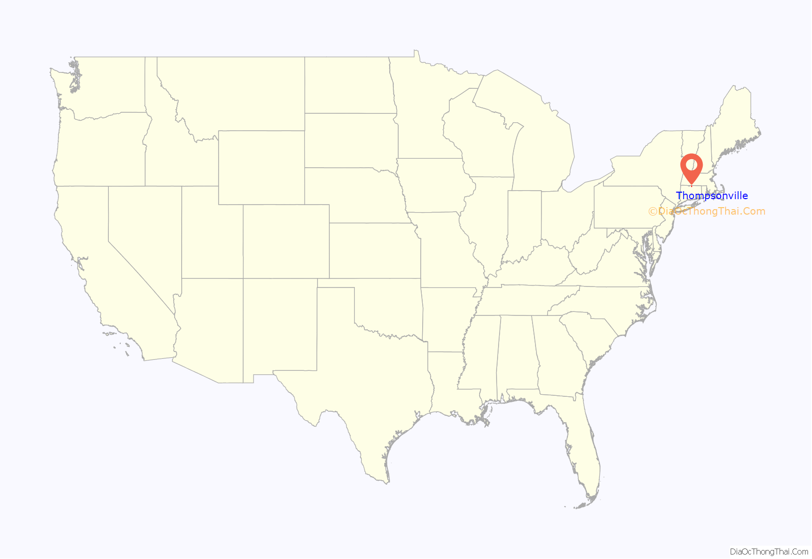
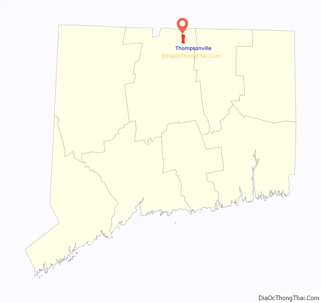
Thompsonville location map. Where is Thompsonville CDP?
History
Thompsonville was established in the 19th century as a carpet-manufacturing community. Orrin Thompson, from whom the community takes its name, built a dam across Freshwater Brook in 1828 and opened the first carpet mill in 1829. Thompson’s first mill, named “White Mill”, employed skilled weavers brought from Scotland. Initially its product was largely flat-woven ingrain carpeting, an inexpensive type of carpeting, but over time it added more expensive weaves, such as three-ply ingrain and loop brussels. The mill had 230 looms in operation as of 1846.
Carpeting continued to be manufactured in Thompsonville until 1971, by which time most production had shifted to the southern United States.
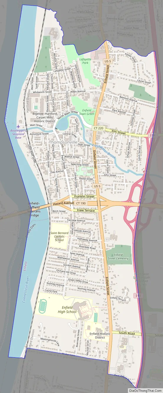
Thompsonville Road Map
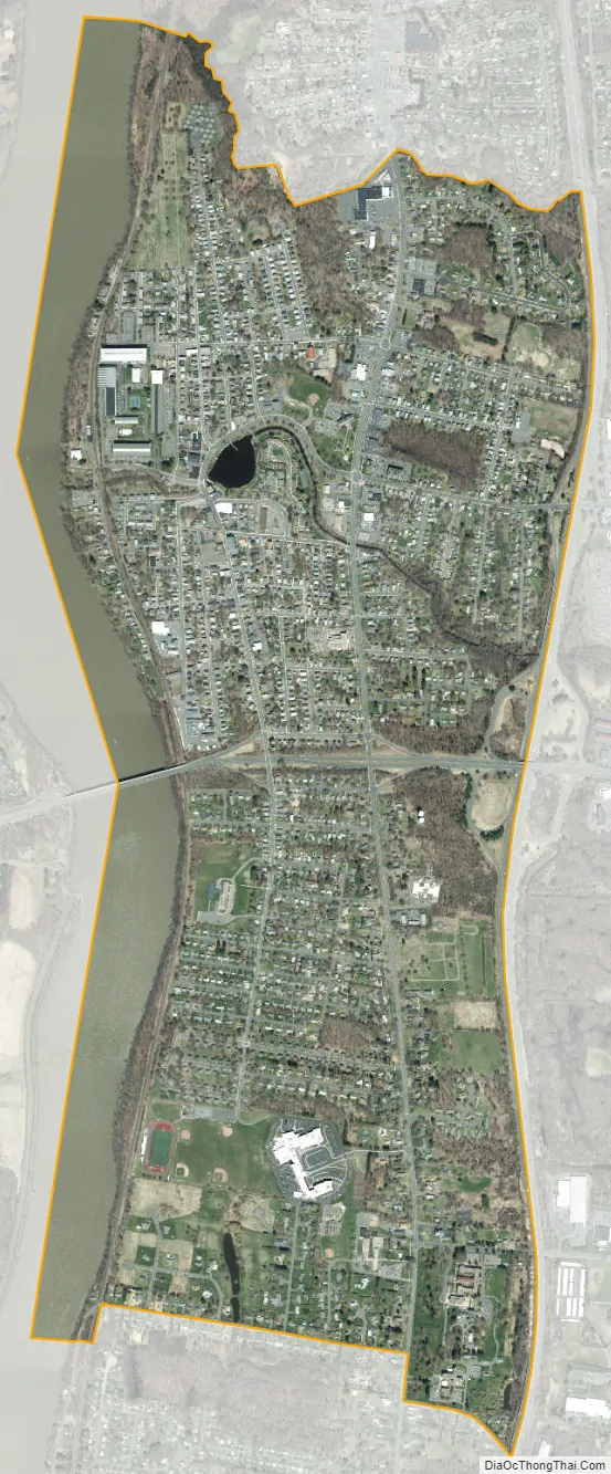
Thompsonville city Satellite Map
Geography
According to the United States Census Bureau, the CDP has a total area of 2.4 square miles (6.1 km), of which 2.0 square miles (5.3 km) is land and 0.31 square miles (0.8 km), or 12.99%, is water. Thompsonville is located on the east bank of the Connecticut River and is bounded by Interstate 91 to the east. U.S. Route 5 (Enfield Street) is the main road through the village, leading north to Longmeadow, Massachusetts, and into Springfield, and south through East and South Windsor to East Hartford. Connecticut Route 190 crosses Route 5, leading west across the Connecticut River into Suffield and east to Hazardville.
See also
Map of Connecticut State and its subdivision: Map of other states:- Alabama
- Alaska
- Arizona
- Arkansas
- California
- Colorado
- Connecticut
- Delaware
- District of Columbia
- Florida
- Georgia
- Hawaii
- Idaho
- Illinois
- Indiana
- Iowa
- Kansas
- Kentucky
- Louisiana
- Maine
- Maryland
- Massachusetts
- Michigan
- Minnesota
- Mississippi
- Missouri
- Montana
- Nebraska
- Nevada
- New Hampshire
- New Jersey
- New Mexico
- New York
- North Carolina
- North Dakota
- Ohio
- Oklahoma
- Oregon
- Pennsylvania
- Rhode Island
- South Carolina
- South Dakota
- Tennessee
- Texas
- Utah
- Vermont
- Virginia
- Washington
- West Virginia
- Wisconsin
- Wyoming


