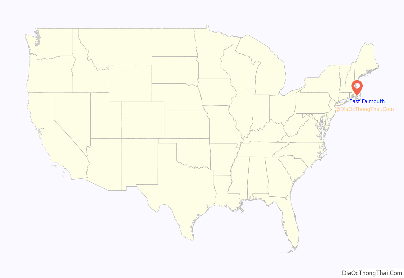
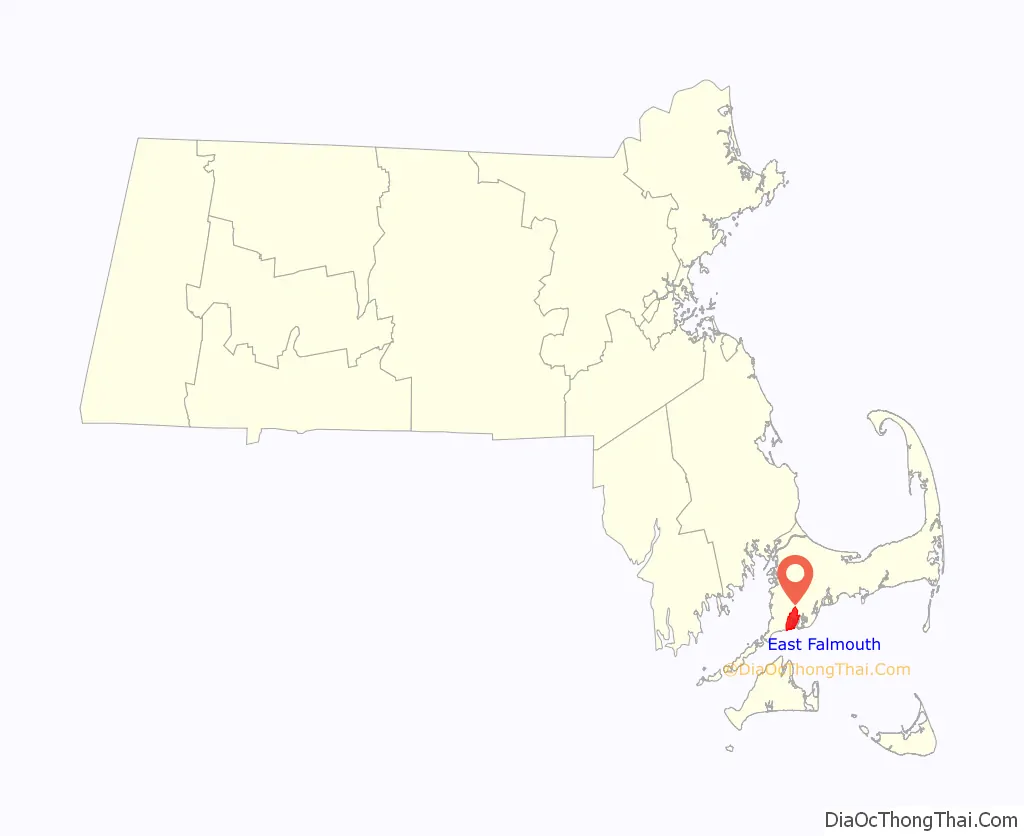
East Falmouth is a census-designated place (CDP) in the town of Falmouth in Barnstable County, Massachusetts, United States. It is located at the base of Massachusetts’ “fishhook” peninsula (see map at right). The population was 6,038 at the 2010 census, making East Falmouth the most populous of the six CDPs in Falmouth.
| Name: | East Falmouth CDP |
|---|---|
| LSAD Code: | 57 |
| LSAD Description: | CDP (suffix) |
| State: | Massachusetts |
| County: | Barnstable County |
| Elevation: | 36 ft (11 m) |
| Total Area: | 6.29 sq mi (16.29 km²) |
| Land Area: | 5.44 sq mi (14.08 km²) |
| Water Area: | 0.85 sq mi (2.21 km²) |
| Total Population: | 6,278 |
| Population Density: | 1,154.89/sq mi (445.91/km²) |
| ZIP code: | 02536 |
| Area code: | 508 |
| FIPS code: | 2518980 |
| GNISfeature ID: | 0616388 |
Online Interactive Map
Click on ![]() to view map in "full screen" mode.
to view map in "full screen" mode.
East Falmouth location map. Where is East Falmouth CDP?
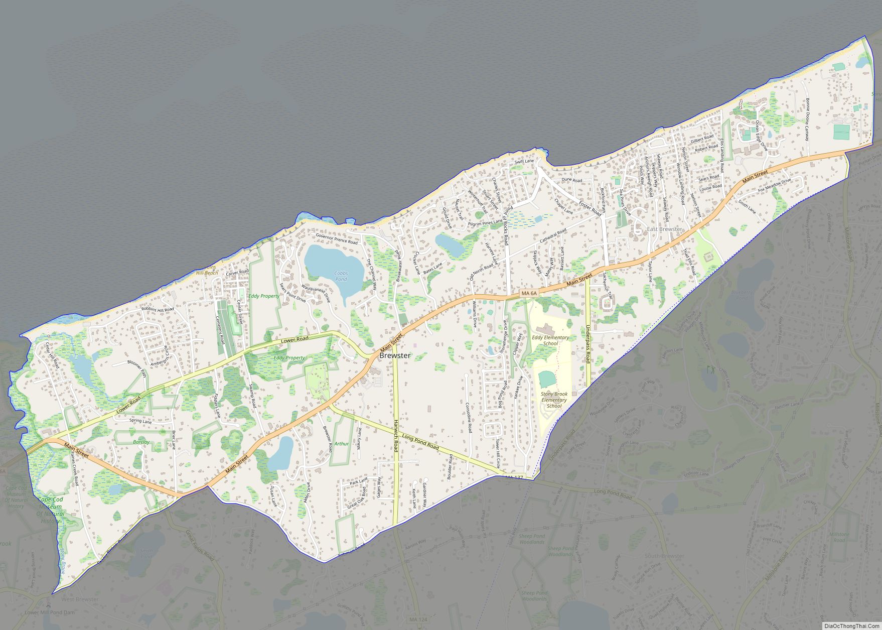
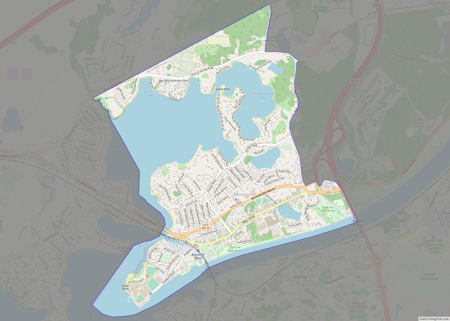
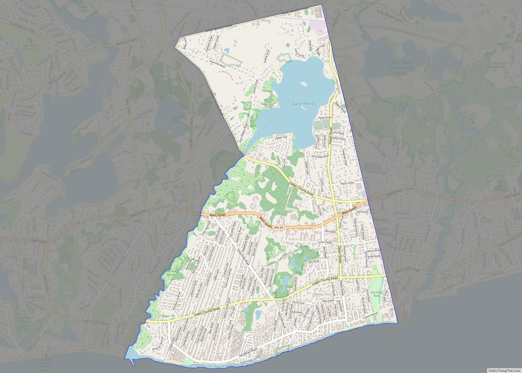
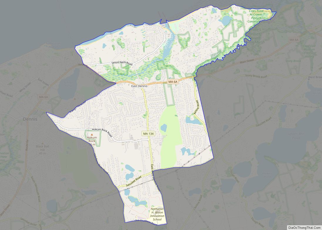
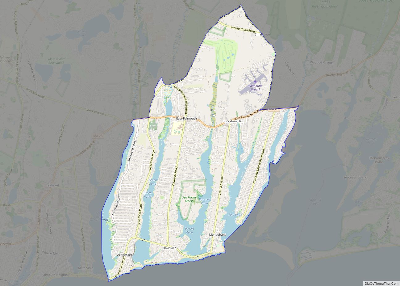
East Falmouth Road Map
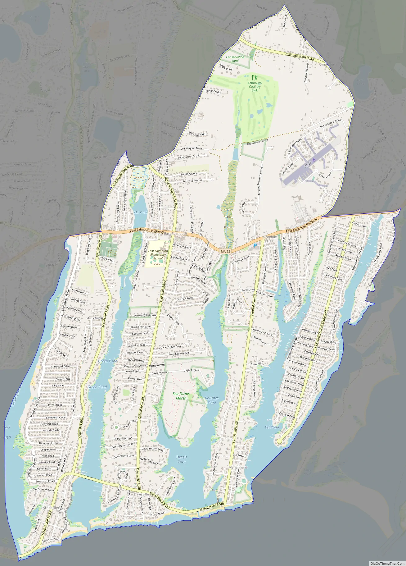
East Falmouth city Satellite Map
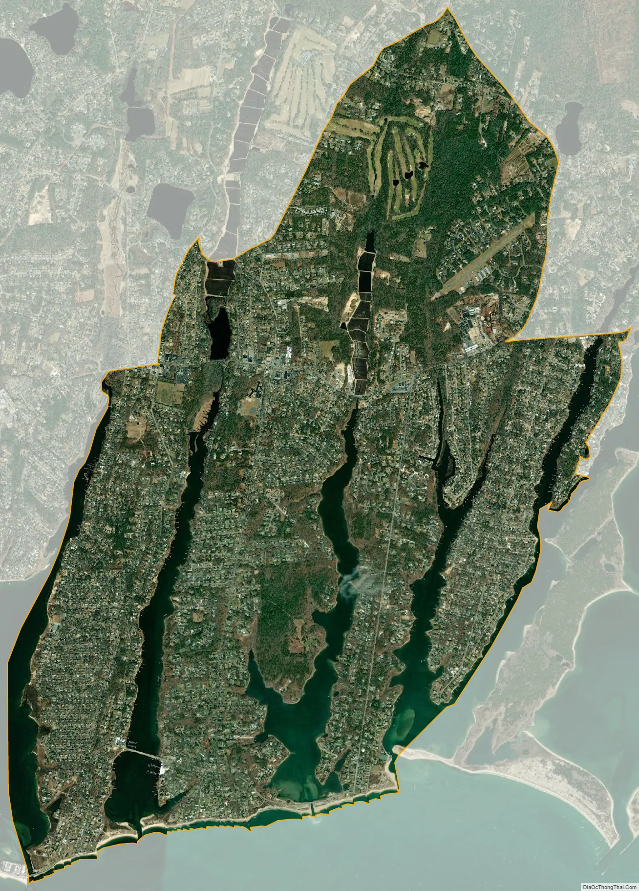
Geography
East Falmouth is located in the southeastern part of Falmouth at 41°33′54″N 70°33′0″W / 41.56500°N 70.55000°W / 41.56500; -70.55000 (41.565096, -70.549984). It is bordered to the west by the village of Teaticket and to the east by the Childs River. Its southern border is the shore of Vineyard Sound.
According to the United States Census Bureau, the CDP has a total area of 6.3 square miles (16.3 km). 5.4 square miles (14.1 km) of it is land and 0.85 square miles (2.2 km) of it (13.54%) is water.
East Falmouth neighborhoods
South of Massachusetts Route 28, the CDP is split into four necks, separated by tidal creeks (or “ponds”), each neck forming a natural neighborhood within the CDP. From east to west, the neighborhoods are:
Seacoast Shores
Seacoast Shores, formerly known as Jenkin’s Neck, is one of the most densely populated neighborhoods in Falmouth, containing 905 homes. The Seacoast Shores Association is a not-for-profit organization that maintains 22 rights of way and a private beach for association members and residents of the neighborhood.
Great Harbors
Great Harbors is a private community located on Lewis Neck north of Acapesket and consisting of 11 streets and almost 400 houses. The Great Harbors Resident Association is a non-profit organization that governs and manages the community, incorporated in December 1966. Great Harbors is a waterfront community, with its longest street on the water, as well as its pool/tennis/recreation complex and two boat docks. Great Harbors is managed by a volunteer board of directors, elected by all members of the association at an annual meeting in June.
Other areas
The East Falmouth area has two small non-census designated villages nearby. Hatchville is located to the north of East Falmouth, along Massachusetts Route 151 next to Coonamessett Pond, and Waquoit is located to the east, along Route 28 in the easternmost corner of Falmouth. While not part of the East Falmouth CDP (and thus not included in the census counts for East Falmouth), each village falls under the East Falmouth postal service jurisdiction.
See also
Map of Massachusetts State and its subdivision: Map of other states:- Alabama
- Alaska
- Arizona
- Arkansas
- California
- Colorado
- Connecticut
- Delaware
- District of Columbia
- Florida
- Georgia
- Hawaii
- Idaho
- Illinois
- Indiana
- Iowa
- Kansas
- Kentucky
- Louisiana
- Maine
- Maryland
- Massachusetts
- Michigan
- Minnesota
- Mississippi
- Missouri
- Montana
- Nebraska
- Nevada
- New Hampshire
- New Jersey
- New Mexico
- New York
- North Carolina
- North Dakota
- Ohio
- Oklahoma
- Oregon
- Pennsylvania
- Rhode Island
- South Carolina
- South Dakota
- Tennessee
- Texas
- Utah
- Vermont
- Virginia
- Washington
- West Virginia
- Wisconsin
- Wyoming