Falmouth is a census-designated place (CDP) consisting of the primary settlement in the town of Falmouth in Barnstable County, Massachusetts, United States. The population of the CDP was 3,799 at the 2010 census, out of 31,532 in the town as a whole. It was named after Falmouth, Cornwall, England.
| Name: | Falmouth CDP |
|---|---|
| LSAD Code: | 57 |
| LSAD Description: | CDP (suffix) |
| State: | Massachusetts |
| County: | Barnstable County |
| Elevation: | 7 ft (2 m) |
| Total Area: | 2.25 sq mi (5.84 km²) |
| Land Area: | 2.09 sq mi (5.41 km²) |
| Water Area: | 0.17 sq mi (0.43 km²) |
| Total Population: | 3,818 |
| Population Density: | 1,828.54/sq mi (706.03/km²) |
| ZIP code: | 02540, 02541, 02543 |
| Area code: | 508 |
| FIPS code: | 2523070 |
| GNISfeature ID: | 0616278 |
Online Interactive Map
Click on ![]() to view map in "full screen" mode.
to view map in "full screen" mode.
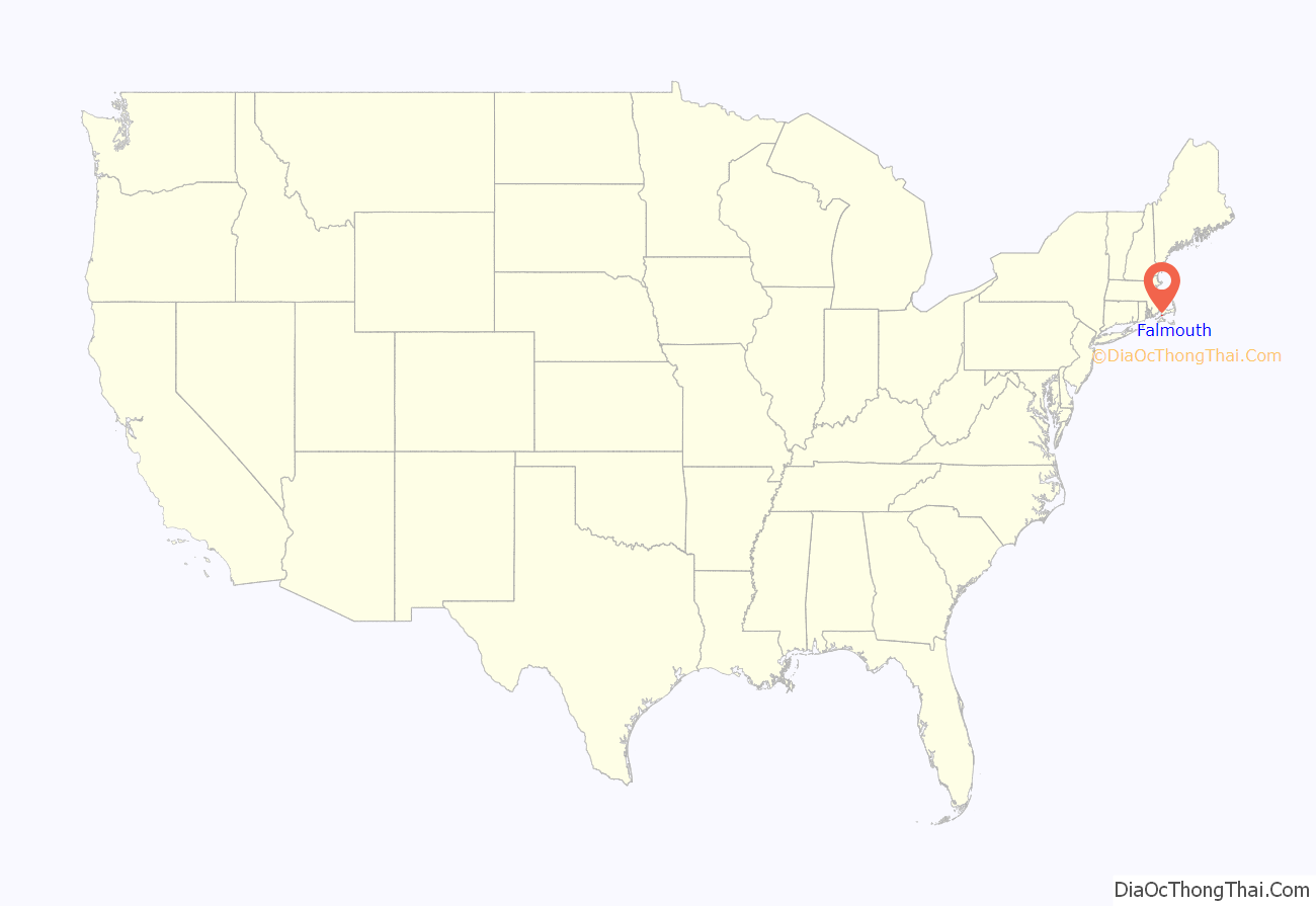
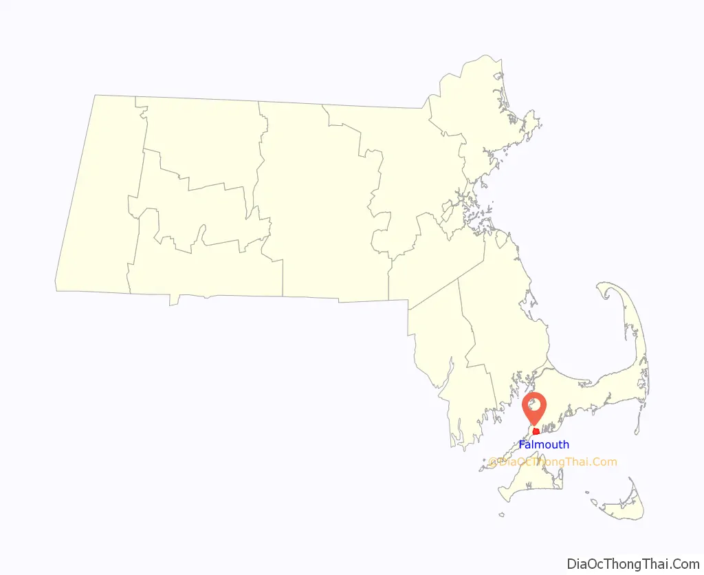
Falmouth location map. Where is Falmouth CDP?
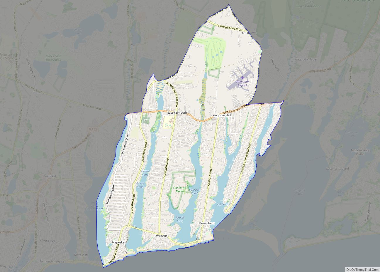
Falmouth Road Map
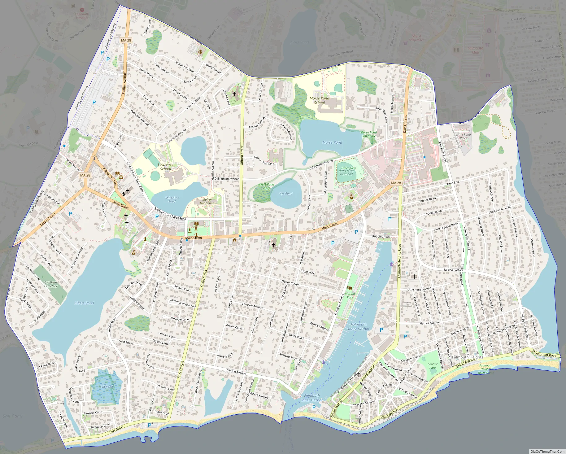
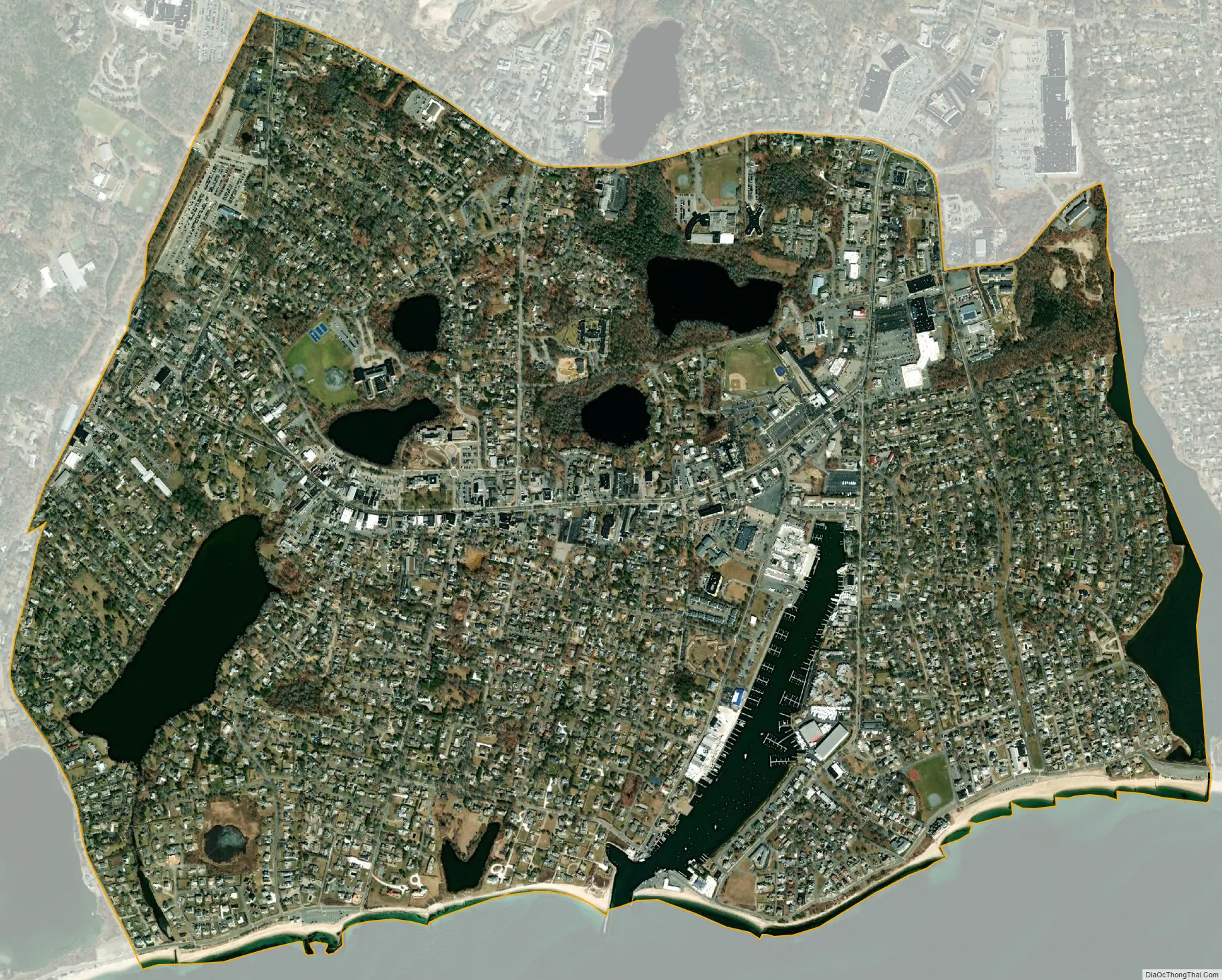
Falmouth city Satellite Map
Geography
Falmouth CDP is located in the southern part of Falmouth town at 41°32′54″N 70°36′17″W / 41.54833°N 70.60472°W / 41.54833; -70.60472 (41.548504, -70.604842). It is bordered to the east by the Teaticket CDP and to the south by Vineyard Sound. Woods Hole is to the southwest, and West Falmouth is to the northwest. Massachusetts Route 28 (Palmer Avenue and Main Street) is the main road through the community.
According to the United States Census Bureau, the CDP has a total area of 2.2 square miles (5.8 km). 2.1 square miles (5.4 km) of it is land, and 0.15 square miles (0.4 km) of it (7.50%) is water.
See also
Map of Massachusetts State and its subdivision: Map of other states:- Alabama
- Alaska
- Arizona
- Arkansas
- California
- Colorado
- Connecticut
- Delaware
- District of Columbia
- Florida
- Georgia
- Hawaii
- Idaho
- Illinois
- Indiana
- Iowa
- Kansas
- Kentucky
- Louisiana
- Maine
- Maryland
- Massachusetts
- Michigan
- Minnesota
- Mississippi
- Missouri
- Montana
- Nebraska
- Nevada
- New Hampshire
- New Jersey
- New Mexico
- New York
- North Carolina
- North Dakota
- Ohio
- Oklahoma
- Oregon
- Pennsylvania
- Rhode Island
- South Carolina
- South Dakota
- Tennessee
- Texas
- Utah
- Vermont
- Virginia
- Washington
- West Virginia
- Wisconsin
- Wyoming