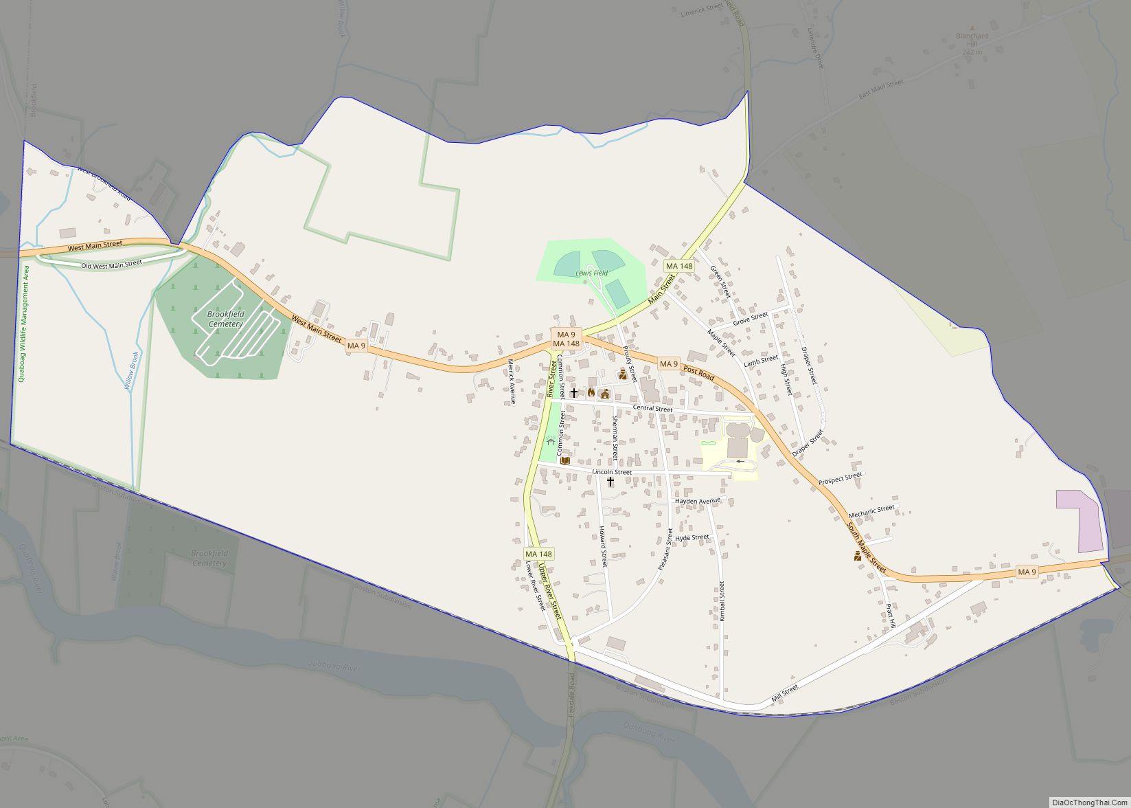
Fiskdale (or Fiskedale) is a census-designated place (CDP) in the town of Sturbridge in Worcester County, Massachusetts, United States. The population was 2,583 at the 2010 census.
| Name: | Fiskdale CDP |
|---|---|
| LSAD Code: | 57 |
| LSAD Description: | CDP (suffix) |
| State: | Massachusetts |
| County: | Worcester County |
| Elevation: | 627 ft (191 m) |
| Total Area: | 3.31 sq mi (8.58 km²) |
| Land Area: | 3.17 sq mi (8.21 km²) |
| Water Area: | 0.14 sq mi (0.37 km²) |
| Total Population: | 2,797 |
| Population Density: | 882.89/sq mi (340.87/km²) |
| ZIP code: | 01518 |
| Area code: | 508 |
| FIPS code: | 2523840 |
| GNISfeature ID: | 0610057 |
Online Interactive Map
Click on ![]() to view map in "full screen" mode.
to view map in "full screen" mode.
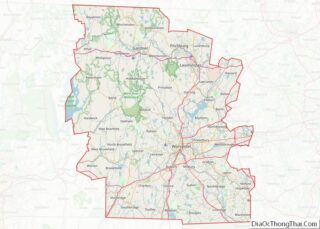
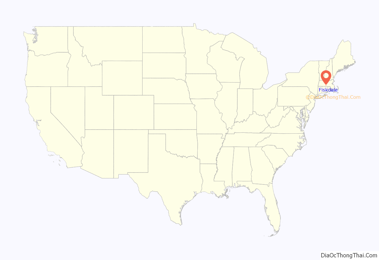
Fiskdale location map. Where is Fiskdale CDP?
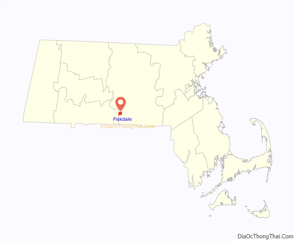
Fiskdale Road Map
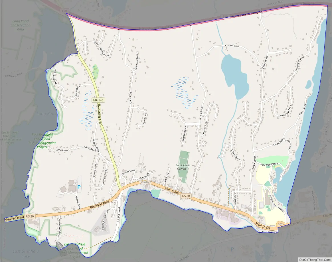
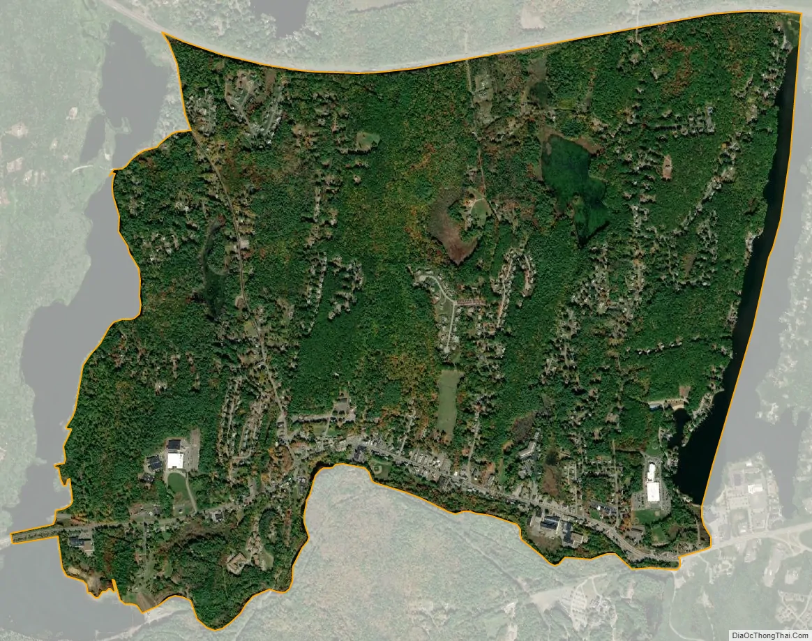
Fiskdale city Satellite Map
Geography
Fiskdale is located at 42°6′54″N 72°6′42″W / 42.11500°N 72.11167°W / 42.11500; -72.11167 (42.114994, -72.111547).
According to the United States Census Bureau, the CDP has a total area of 8.5 km (3.3 mi). 8.3 km (3.2 mi) of it is land and 0.3 km (0.1 mi) of it (3.04%) is water.
Fiskdale is generally regarded by residents of Sturbridge to include the northwestern corner of the town, containing Tantasqua Regional High School, the densely populated areas around Route 148 (Brookfield Road), Holland Road area, as well as much of Route 20 to the west of Interstate 84. Big Alum Pond, Long Pond, and part of East Brimfield Lake are located in Fiskdale.
See also
Map of Massachusetts State and its subdivision: Map of other states:- Alabama
- Alaska
- Arizona
- Arkansas
- California
- Colorado
- Connecticut
- Delaware
- District of Columbia
- Florida
- Georgia
- Hawaii
- Idaho
- Illinois
- Indiana
- Iowa
- Kansas
- Kentucky
- Louisiana
- Maine
- Maryland
- Massachusetts
- Michigan
- Minnesota
- Mississippi
- Missouri
- Montana
- Nebraska
- Nevada
- New Hampshire
- New Jersey
- New Mexico
- New York
- North Carolina
- North Dakota
- Ohio
- Oklahoma
- Oregon
- Pennsylvania
- Rhode Island
- South Carolina
- South Dakota
- Tennessee
- Texas
- Utah
- Vermont
- Virginia
- Washington
- West Virginia
- Wisconsin
- Wyoming