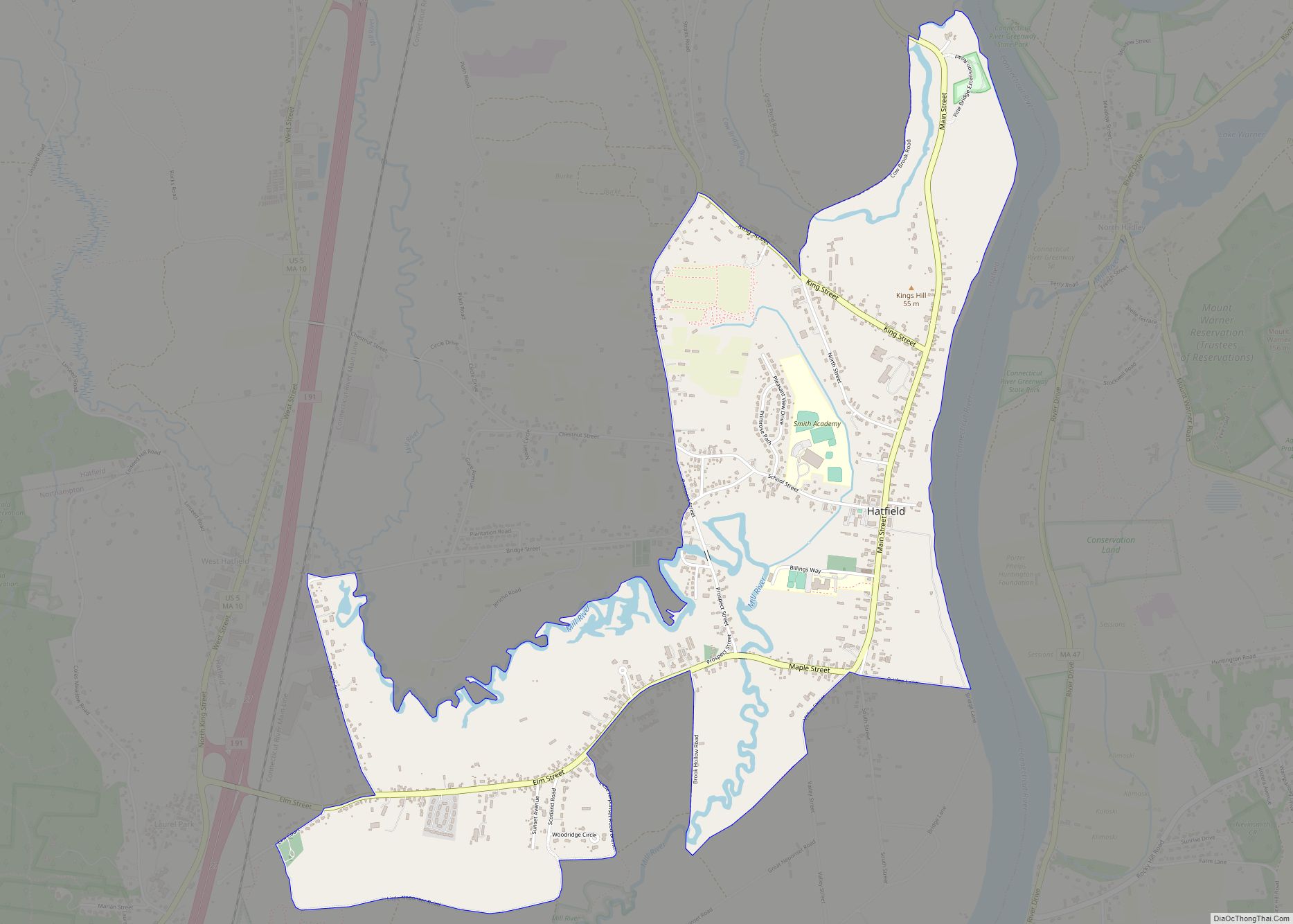
Hatfield is a census-designated place (CDP) comprising the main village in the town of Hatfield in Hampshire County, Massachusetts, United States. The population of the CDP was 1,318 at the 2010 census, out of a total town population of 3,279. It is part of the Springfield, Massachusetts Metropolitan Statistical Area.
| Name: | Hatfield CDP |
|---|---|
| LSAD Code: | 57 |
| LSAD Description: | CDP (suffix) |
| State: | Massachusetts |
| County: | Hampshire County |
| Elevation: | 121 ft (37 m) |
| Total Area: | 2.54 sq mi (6.57 km²) |
| Land Area: | 2.45 sq mi (6.34 km²) |
| Water Area: | 0.09 sq mi (0.22 km²) |
| Total Population: | 1,453 |
| Population Density: | 593.06/sq mi (229.02/km²) |
| ZIP code: | 01038 |
| Area code: | 413 |
| FIPS code: | 2529230 |
| GNISfeature ID: | 0609017 |
Online Interactive Map
Click on ![]() to view map in "full screen" mode.
to view map in "full screen" mode.
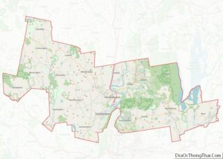
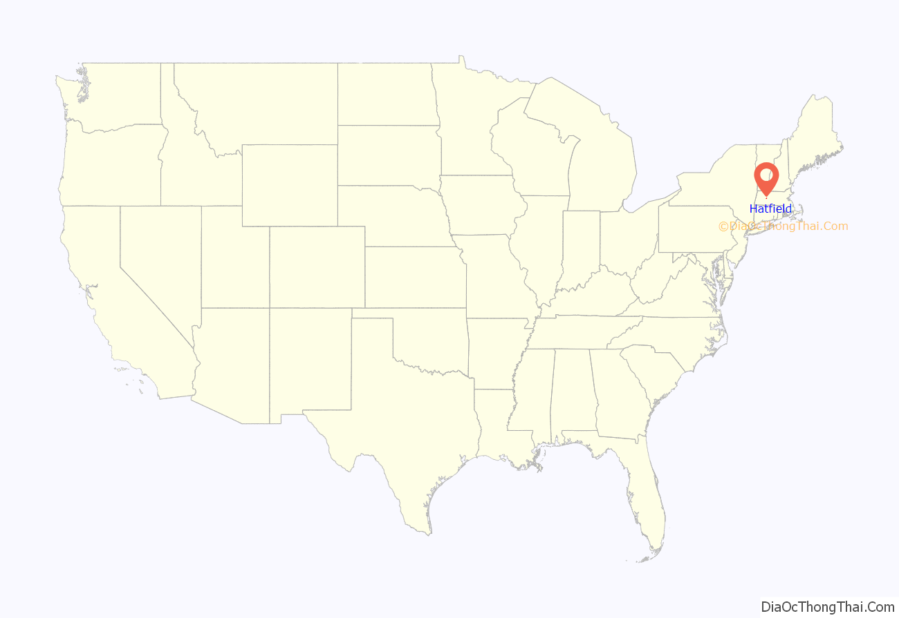
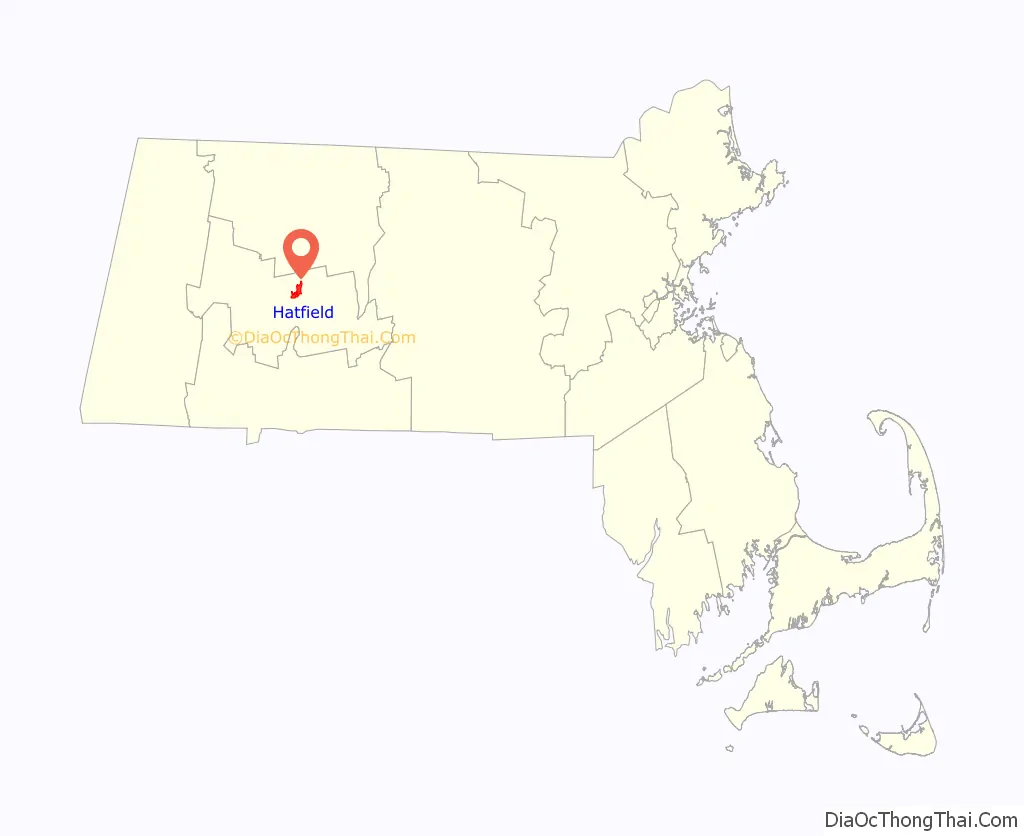
Hatfield location map. Where is Hatfield CDP?
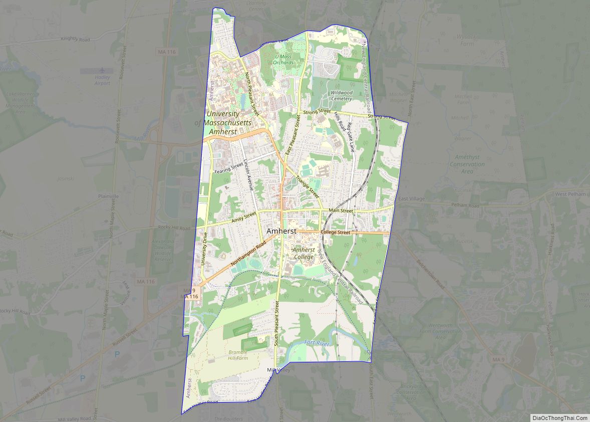
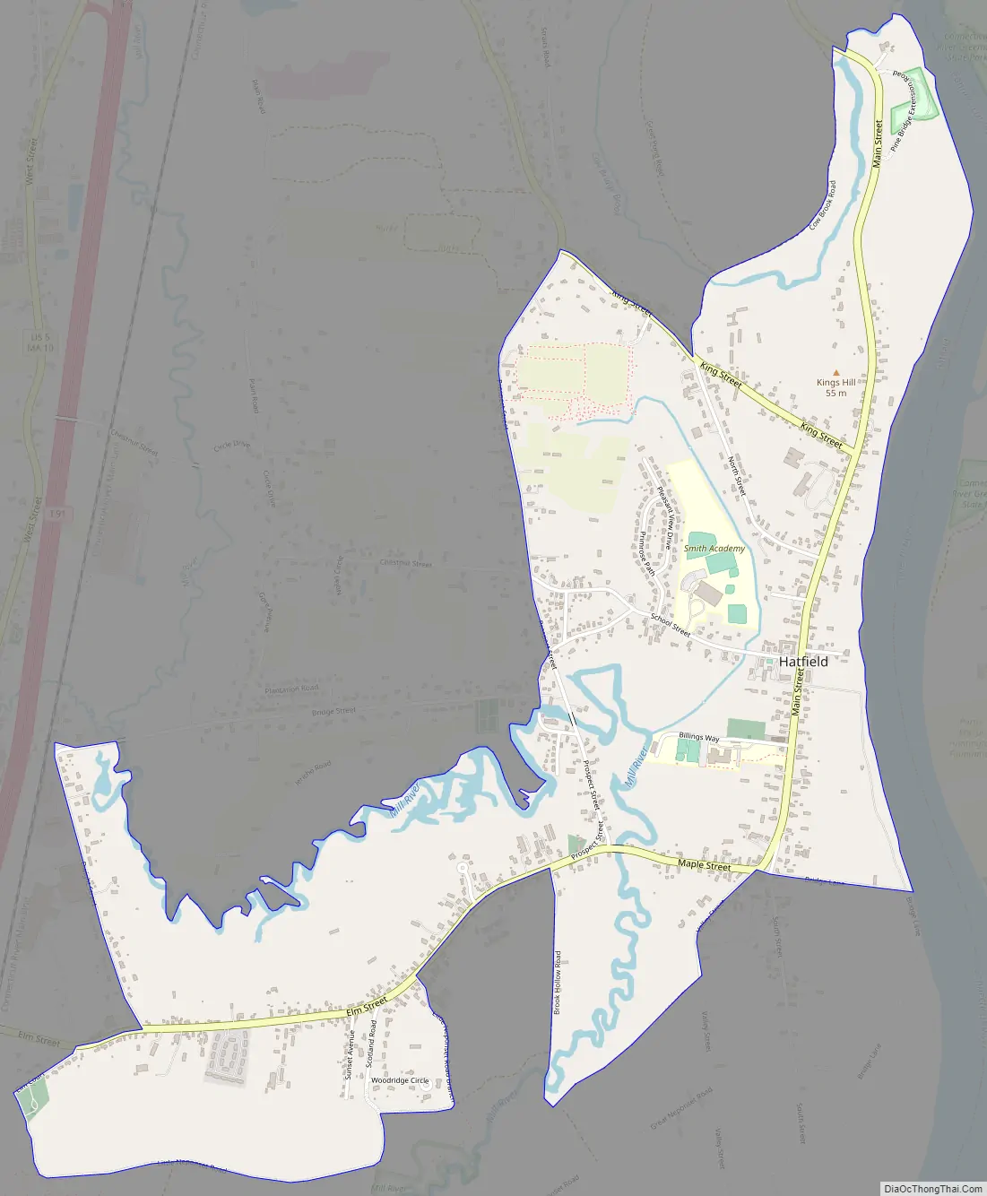
Hatfield Road Map
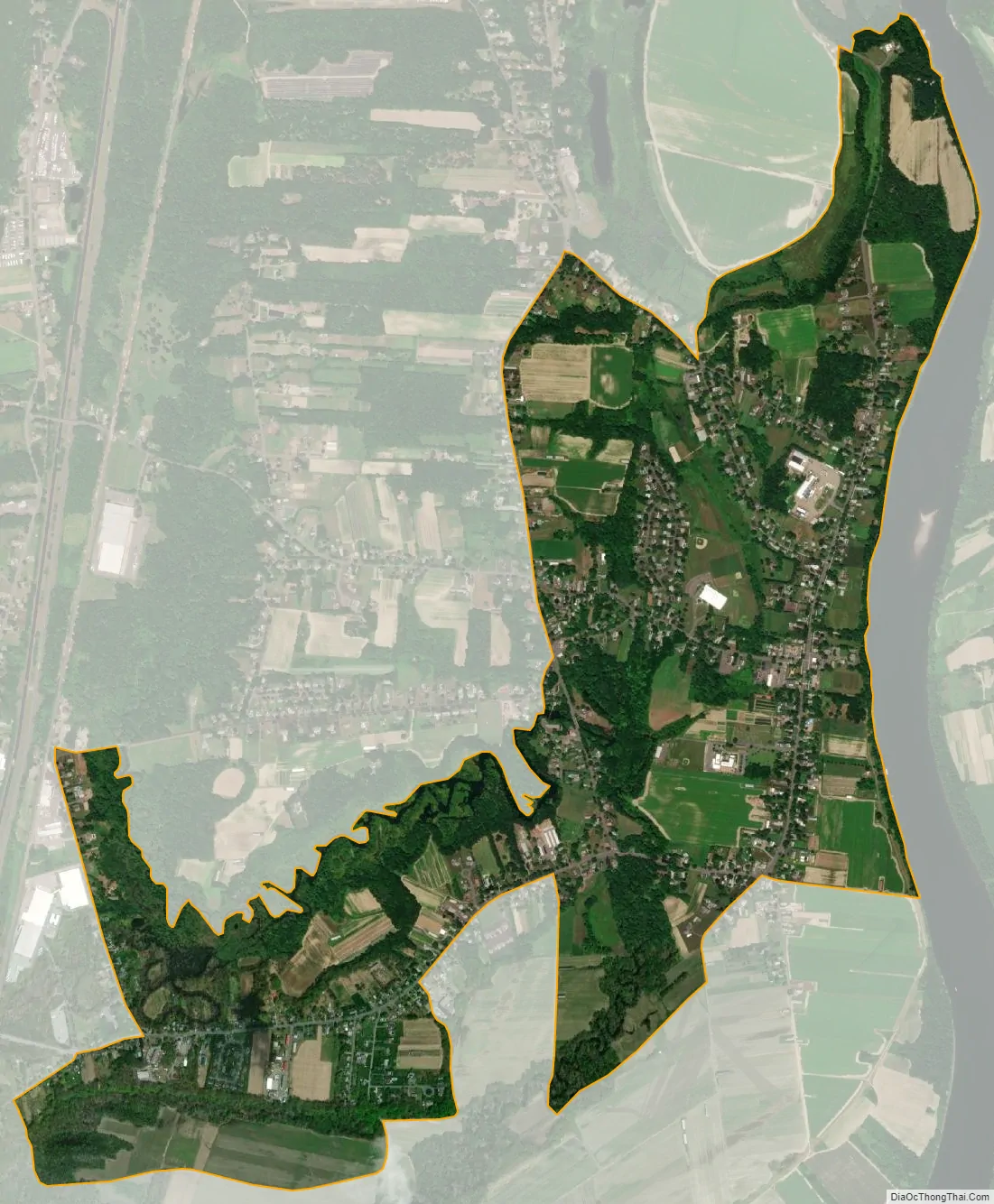
Hatfield city Satellite Map
Geography
The Hatfield CDP is located in the southern part of the town of Hatfield at 42°22′11″N 72°36′20″W / 42.369665°N 72.605426°W / 42.369665; -72.605426 (42.369665, -72.605426). The CDP includes the village of Hatfield, on the west bank of the Connecticut River, as well as residential land to the west along Elm Street as far as Dwight Street and Little Neponset Road and to the north as far as Cow Bridge Brook.
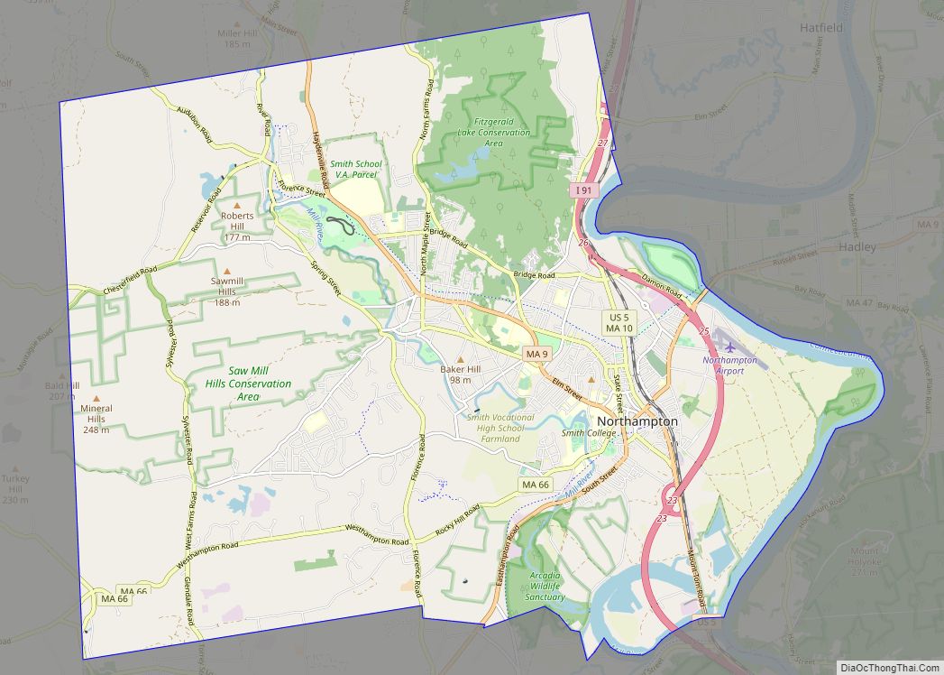
Interstate 91 passes 2 miles (3 km) west of the center of Hatfield, with access from Exit 21 at Elm Street. The CDP is 6 miles (10 km) northeast of the center of Northampton and 24 miles (39 km) north of Springfield.
According to the United States Census Bureau, the CDP has a total area of 2.4 square miles (6.2 km), of which 2.4 square miles (6.2 km) are land and 0.1 square miles (0.2 km), or 3.53%, are water.
See also
Map of Massachusetts State and its subdivision: Map of other states:- Alabama
- Alaska
- Arizona
- Arkansas
- California
- Colorado
- Connecticut
- Delaware
- District of Columbia
- Florida
- Georgia
- Hawaii
- Idaho
- Illinois
- Indiana
- Iowa
- Kansas
- Kentucky
- Louisiana
- Maine
- Maryland
- Massachusetts
- Michigan
- Minnesota
- Mississippi
- Missouri
- Montana
- Nebraska
- Nevada
- New Hampshire
- New Jersey
- New Mexico
- New York
- North Carolina
- North Dakota
- Ohio
- Oklahoma
- Oregon
- Pennsylvania
- Rhode Island
- South Carolina
- South Dakota
- Tennessee
- Texas
- Utah
- Vermont
- Virginia
- Washington
- West Virginia
- Wisconsin
- Wyoming