North Falmouth is a census-designated place (CDP) in the town of Falmouth in Barnstable County, Massachusetts, United States. The population was 3,084 at the 2010 census.
| Name: | North Falmouth CDP |
|---|---|
| LSAD Code: | 57 |
| LSAD Description: | CDP (suffix) |
| State: | Massachusetts |
| County: | Barnstable County |
| Elevation: | 43 ft (13 m) |
| Total Area: | 6.62 sq mi (17.13 km²) |
| Land Area: | 3.89 sq mi (10.08 km²) |
| Water Area: | 2.72 sq mi (7.05 km²) |
| Total Population: | 3,293 |
| Population Density: | 845.88/sq mi (326.63/km²) |
| ZIP code: | 02556, 02565 |
| FIPS code: | 2547730 |
| GNISfeature ID: | 0616438 |
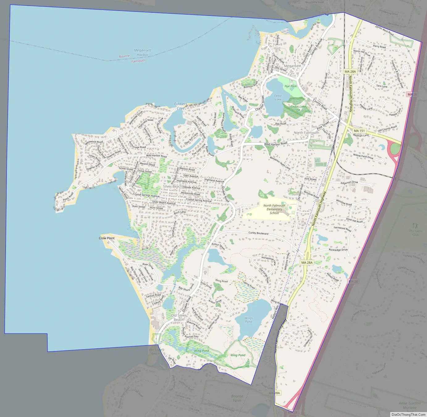
Online Interactive Map
Click on ![]() to view map in "full screen" mode.
to view map in "full screen" mode.
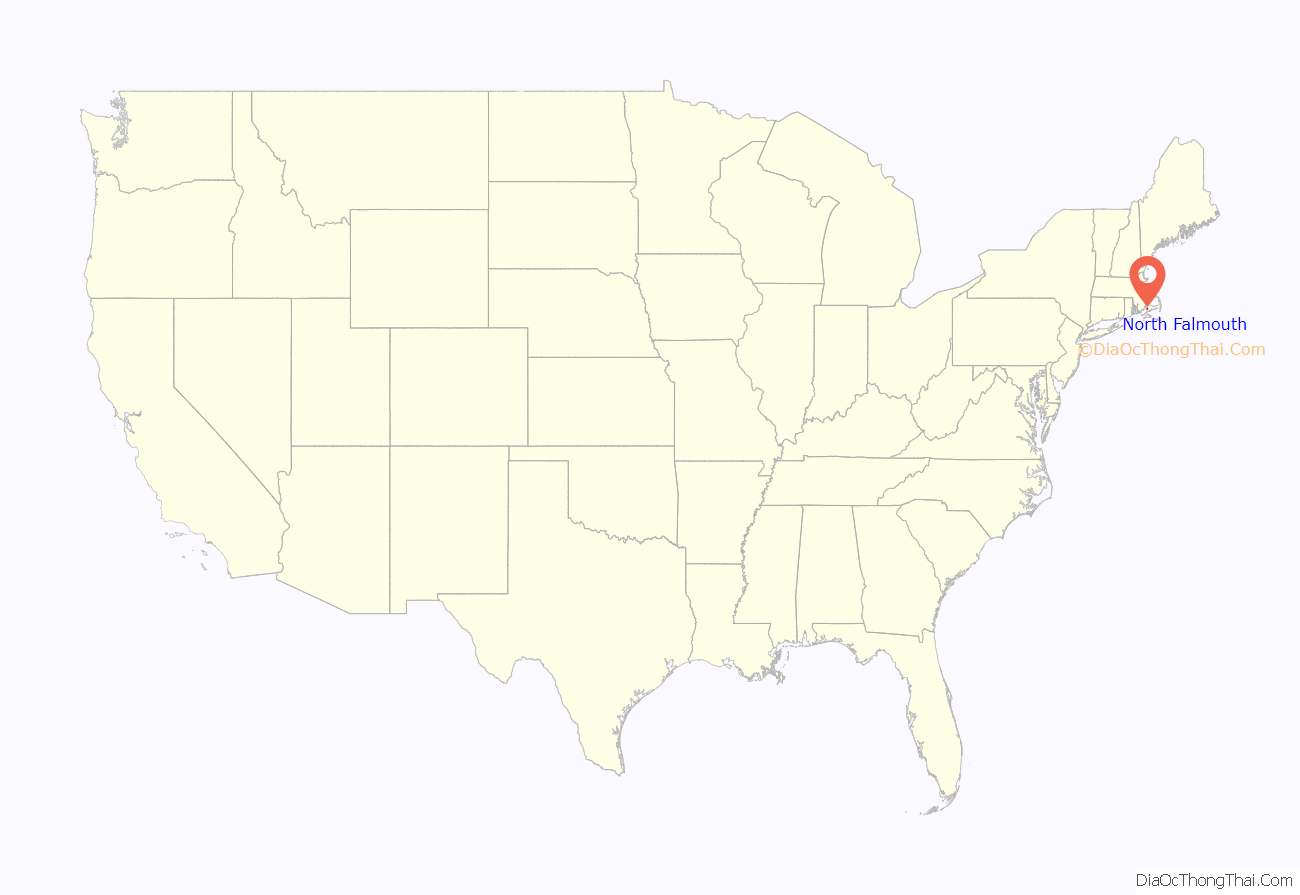
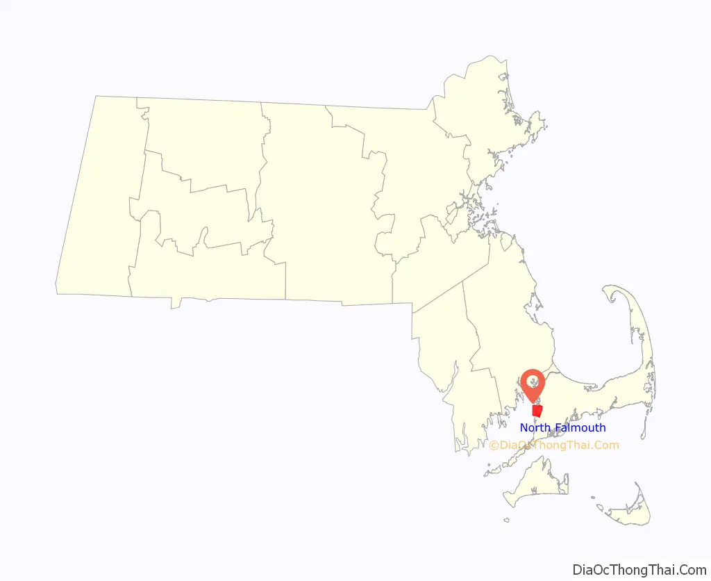
North Falmouth location map. Where is North Falmouth CDP?
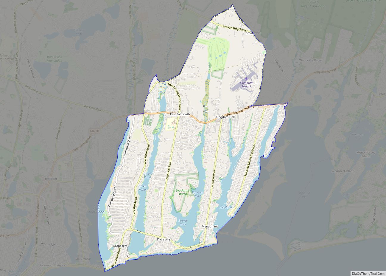
North Falmouth Road Map
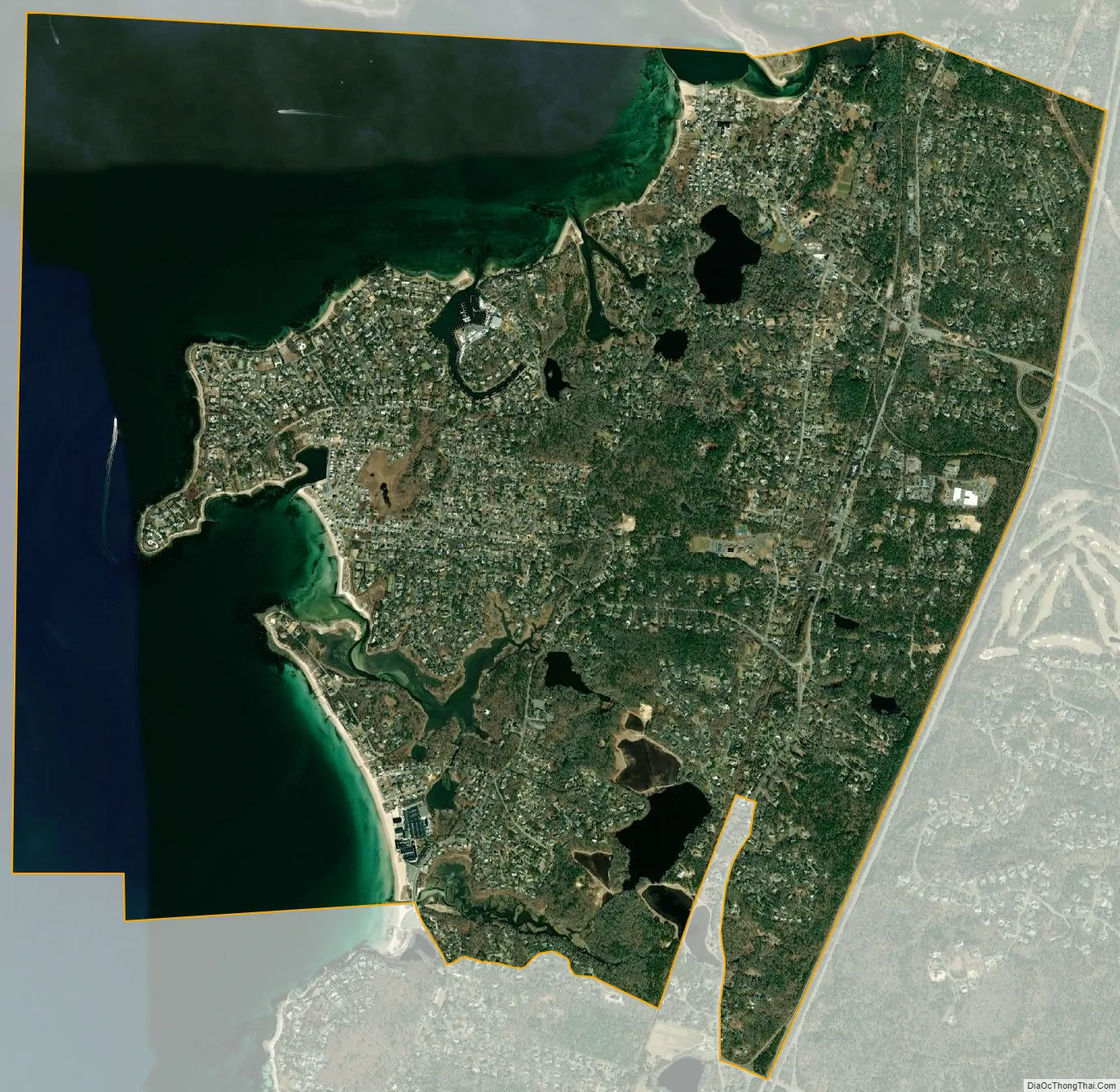
North Falmouth city Satellite Map
Geography
North Falmouth is located next to the northern border of Falmouth at 41°38′41″N 70°37′50″W / 41.644588°N 70.630447°W / 41.644588; -70.630447. It is bordered by the town of Bourne to the north, by Massachusetts Route 28 to the east, West Falmouth to the south, and Buzzards Bay to the west.
North Falmouth has many beaches, although many are enclosed by private beach communities. Old Silver Beach is a public beach off Quaker Road next to the Sea Crest Beach Hotel. New Silver Beach, Sea Scape Beach, and Wild Harbor Estates Beach are examples of the small, private beach communities. Megansett Beach is the other public beach in North Falmouth, edged by Megansett Harbor.
The North Falmouth Village Historic District is along Old Main Road south of Wild Harbor Road. North Falmouth village has many businesses centrally located, including a bank, convenience stores, a church, gas station, hardware store, beauty parlor, yoga studio, dog grooming, ice cream parlor, restaurants, library, playgrounds and elementary school.
The north end of the Shining Sea Bikeway is located in North Falmouth at the former site of the North Falmouth Railroad Station.
According to the United States Census Bureau, the CDP has a total area of 6.6 square miles (17.1 km). 3.9 square miles (10.1 km) of it is land, and 2.7 square miles (7.0 km) of it (40.98%) is water.
See also
Map of Massachusetts State and its subdivision: Map of other states:- Alabama
- Alaska
- Arizona
- Arkansas
- California
- Colorado
- Connecticut
- Delaware
- District of Columbia
- Florida
- Georgia
- Hawaii
- Idaho
- Illinois
- Indiana
- Iowa
- Kansas
- Kentucky
- Louisiana
- Maine
- Maryland
- Massachusetts
- Michigan
- Minnesota
- Mississippi
- Missouri
- Montana
- Nebraska
- Nevada
- New Hampshire
- New Jersey
- New Mexico
- New York
- North Carolina
- North Dakota
- Ohio
- Oklahoma
- Oregon
- Pennsylvania
- Rhode Island
- South Carolina
- South Dakota
- Tennessee
- Texas
- Utah
- Vermont
- Virginia
- Washington
- West Virginia
- Wisconsin
- Wyoming