Popponesset is a census-designated place (CDP) in the town of Mashpee on Cape Cod in Barnstable County, Massachusetts, United States. The population was 220 at the 2010 census.
| Name: | Popponesset CDP |
|---|---|
| LSAD Code: | 57 |
| LSAD Description: | CDP (suffix) |
| State: | Massachusetts |
| County: | Barnstable County |
| Elevation: | 13 ft (4 m) |
| Total Area: | 0.32 sq mi (0.82 km²) |
| Land Area: | 0.30 sq mi (0.77 km²) |
| Water Area: | 0.02 sq mi (0.05 km²) |
| Total Population: | 280 |
| Population Density: | 936.45/sq mi (361.98/km²) |
| FIPS code: | 2555070 |
| GNISfeature ID: | 2378205 |
Online Interactive Map
Click on ![]() to view map in "full screen" mode.
to view map in "full screen" mode.
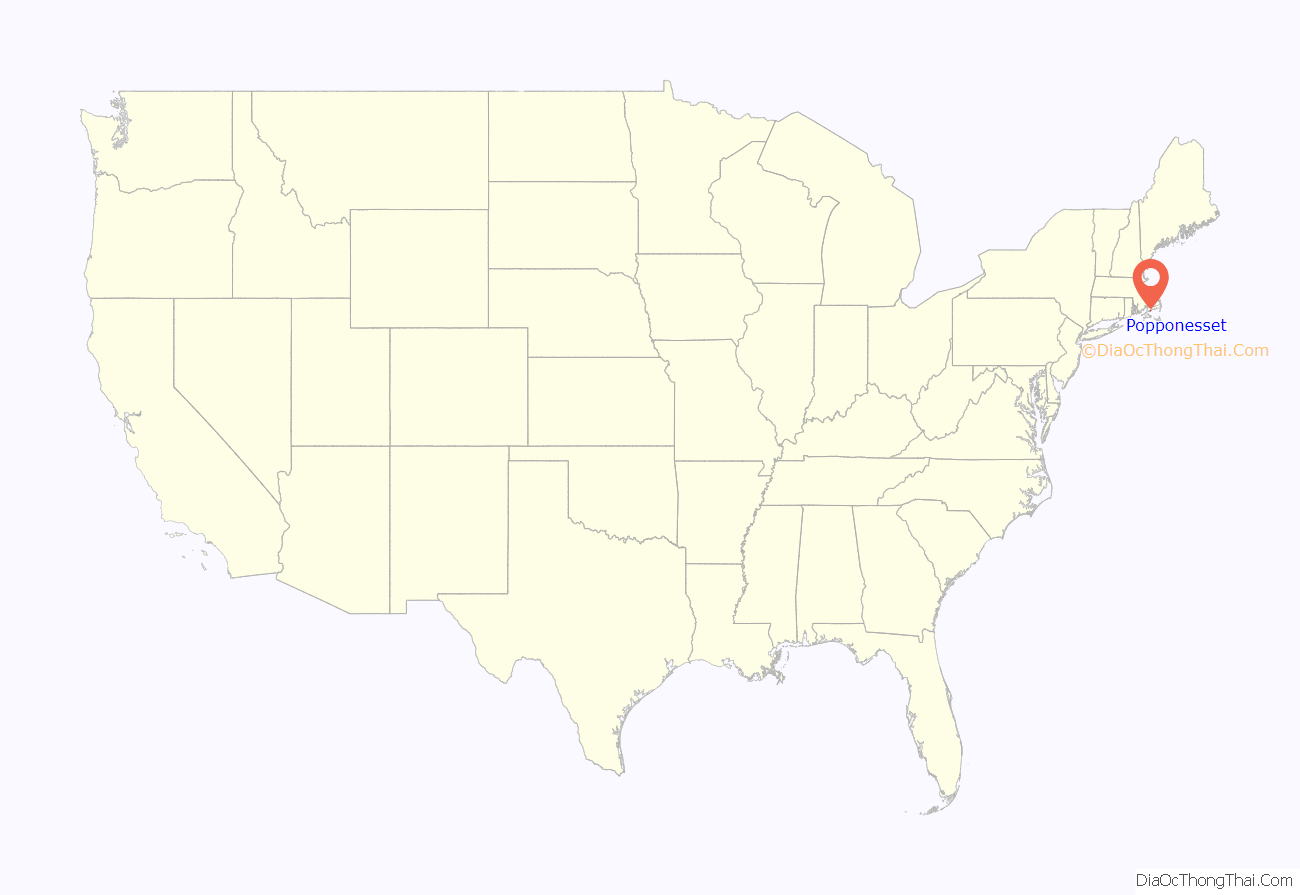
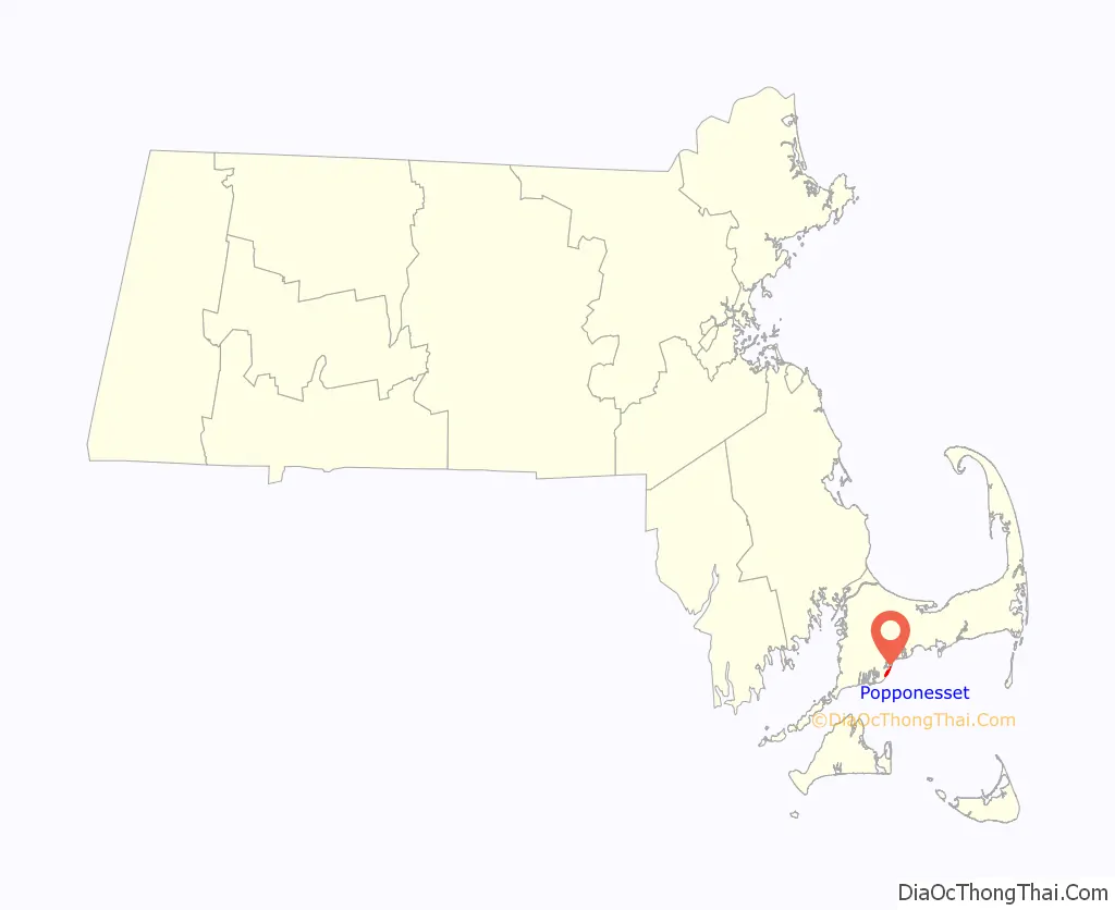
Popponesset location map. Where is Popponesset CDP?
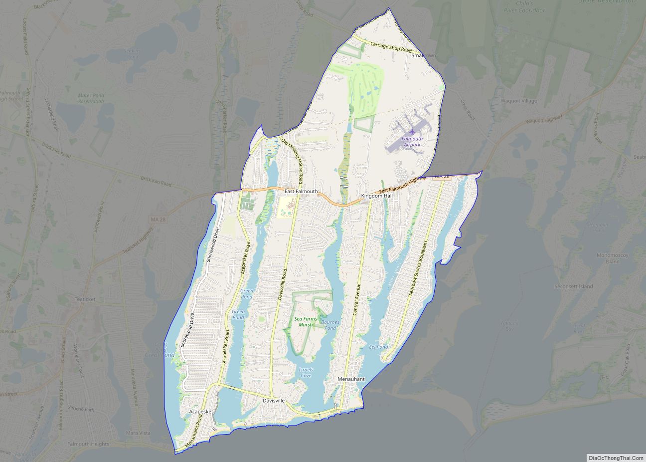
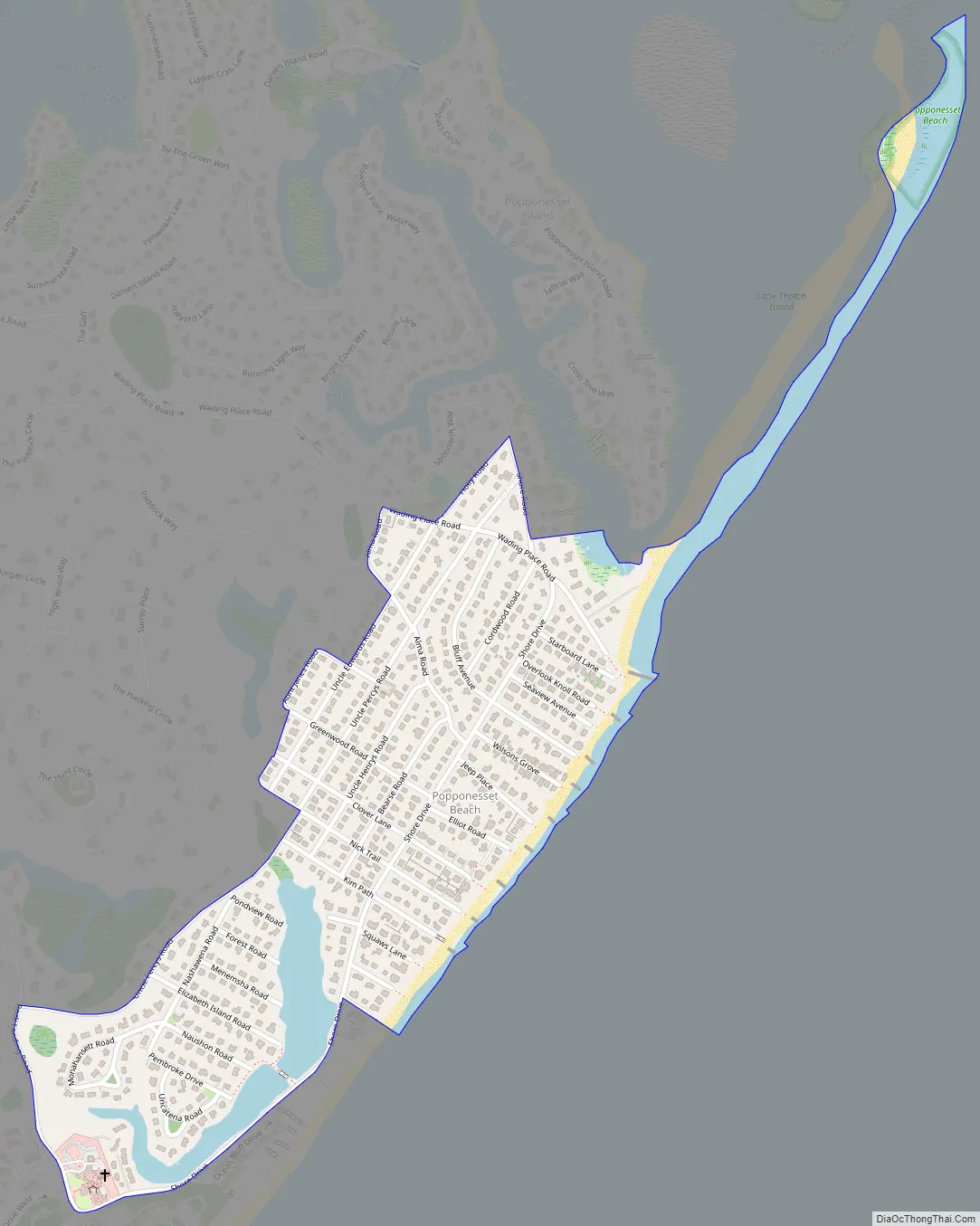
Popponesset Road Map
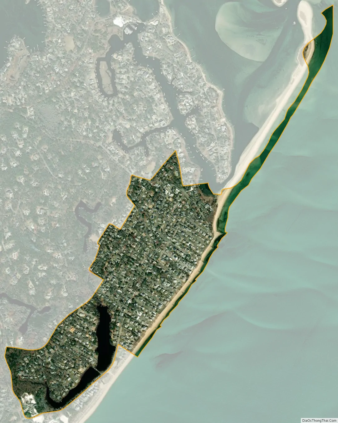
Popponesset city Satellite Map
Geography
Popponesset is located in the southern part of the town of Mashpee. It is shown on topographic maps as Popponesset Beach. It is bordered to the north and west by the New Seabury CDP and to the northeast, across Popponesset Creek, by the Popponesset Island CDP. Its southern edge is Nantucket Sound, into which extends the Popponesset Spit, separating it from Popponesset Bay.
According to the United States Census Bureau, the Popponesset CDP has a total area of 0.31 square miles (0.8 km), of which 0.012 square miles (0.03 km), or 3.66%, is water.
See also
Map of Massachusetts State and its subdivision: Map of other states:- Alabama
- Alaska
- Arizona
- Arkansas
- California
- Colorado
- Connecticut
- Delaware
- District of Columbia
- Florida
- Georgia
- Hawaii
- Idaho
- Illinois
- Indiana
- Iowa
- Kansas
- Kentucky
- Louisiana
- Maine
- Maryland
- Massachusetts
- Michigan
- Minnesota
- Mississippi
- Missouri
- Montana
- Nebraska
- Nevada
- New Hampshire
- New Jersey
- New Mexico
- New York
- North Carolina
- North Dakota
- Ohio
- Oklahoma
- Oregon
- Pennsylvania
- Rhode Island
- South Carolina
- South Dakota
- Tennessee
- Texas
- Utah
- Vermont
- Virginia
- Washington
- West Virginia
- Wisconsin
- Wyoming