Provincetown (CDP) is a census-designated place (CDP) in the town of Provincetown in Barnstable County, Massachusetts, United States. The population was 2,642 at the 2010 census, out of 2,942 in the entire town.
| Name: | Provincetown CDP |
|---|---|
| LSAD Code: | 57 |
| LSAD Description: | CDP (suffix) |
| State: | Massachusetts |
| County: | Barnstable County |
| Elevation: | 0 ft (0 m) |
| Total Area: | 5.31 sq mi (13.77 km²) |
| Land Area: | 1.79 sq mi (4.63 km²) |
| Water Area: | 3.53 sq mi (9.14 km²) |
| Total Population: | 3,318 |
| Population Density: | 1,856.74/sq mi (716.74/km²) |
| ZIP code: | 02657 |
| Area code: | 508 |
| FIPS code: | 2555535 |
| GNISfeature ID: | 2378207 |
Online Interactive Map
Click on ![]() to view map in "full screen" mode.
to view map in "full screen" mode.
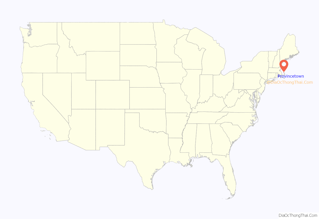
Provincetown location map. Where is Provincetown CDP?
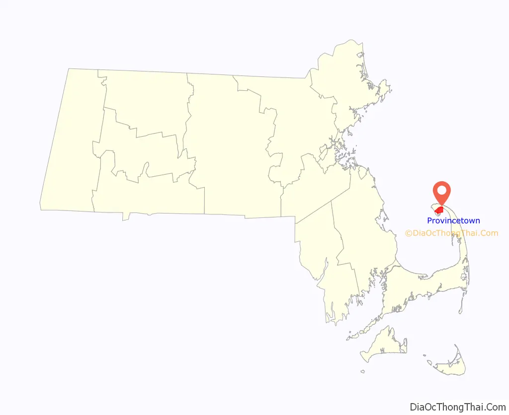
Provincetown Road Map
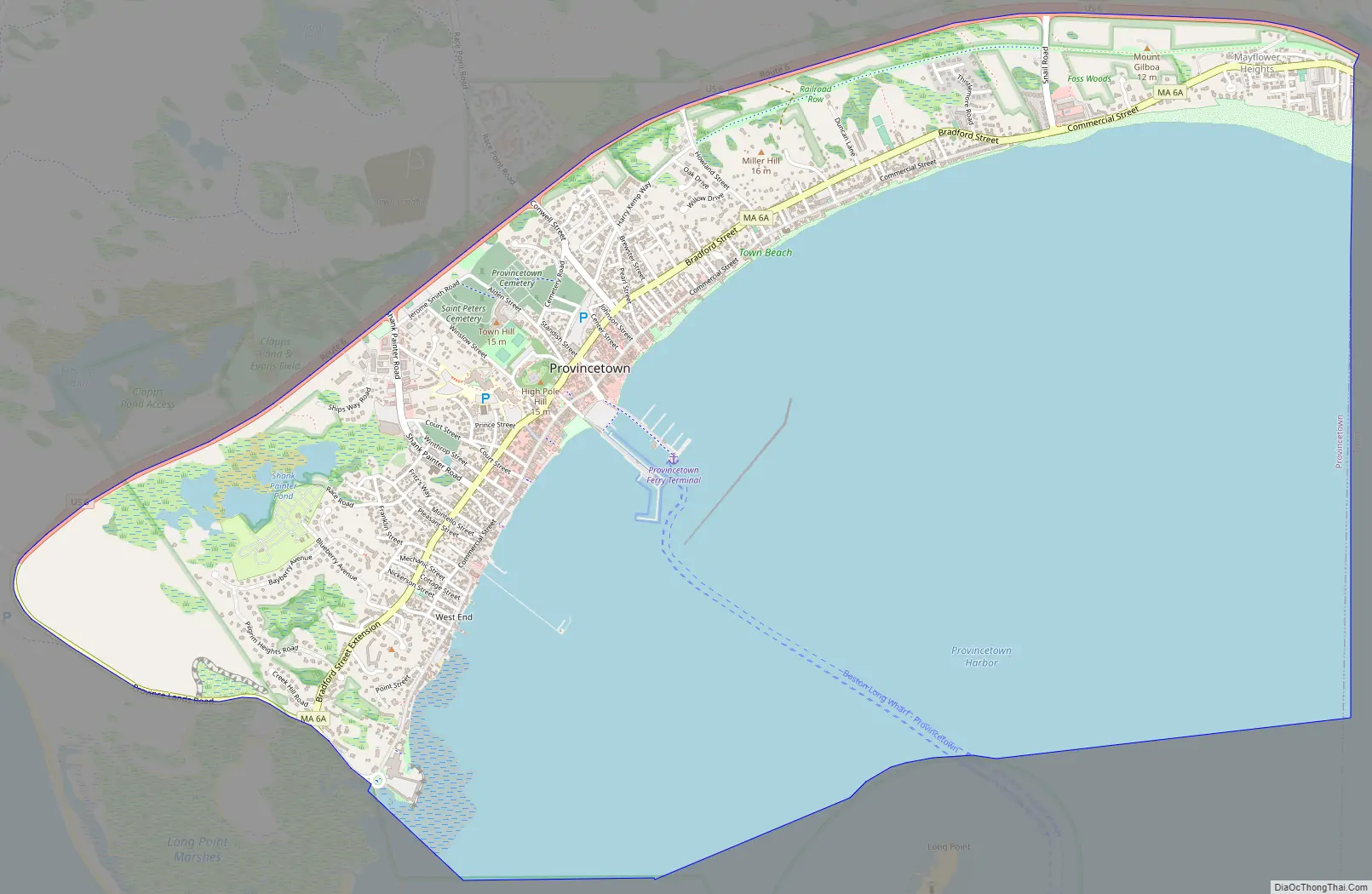
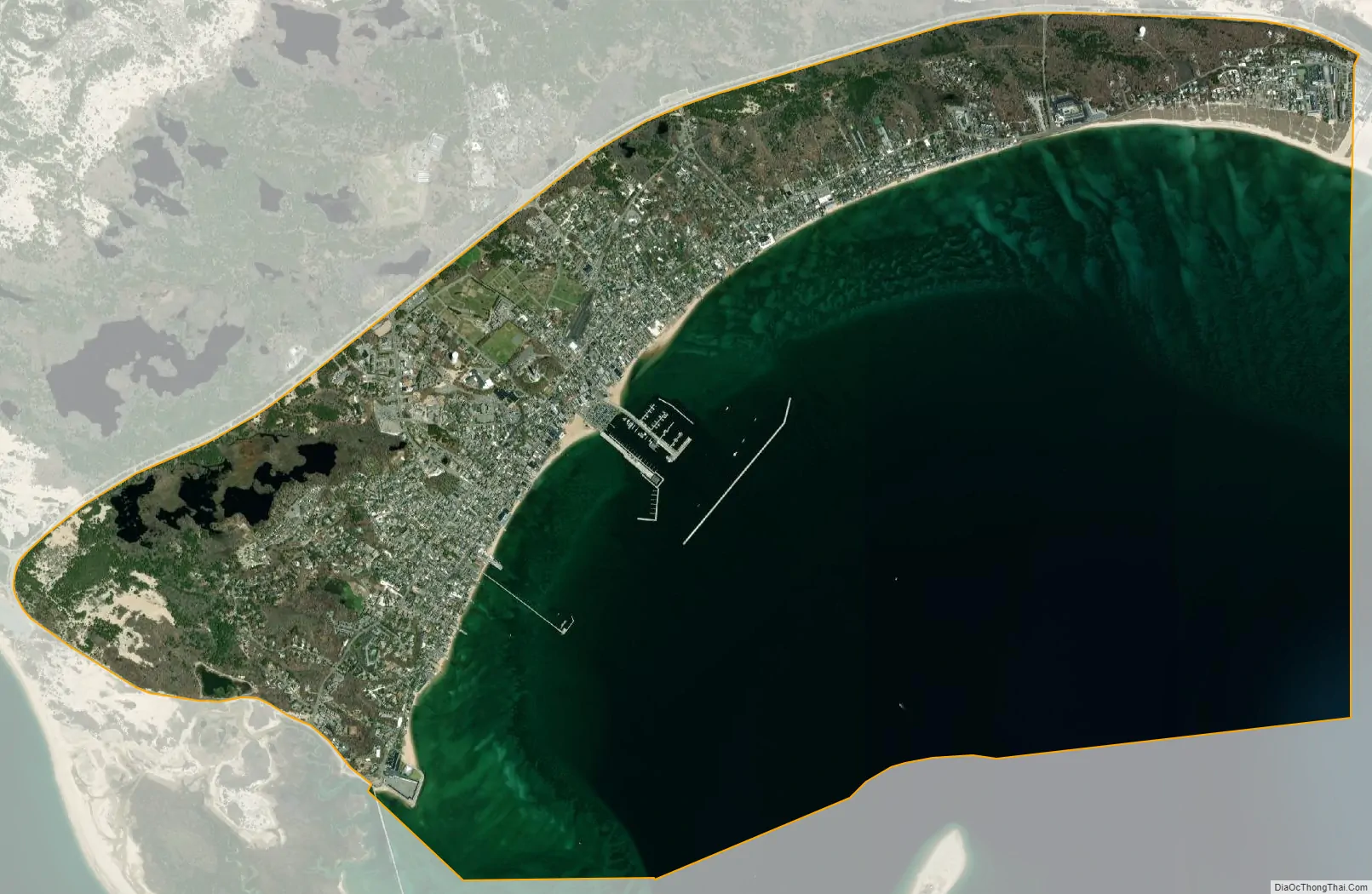
Provincetown city Satellite Map
Geography
The Provincetown CDP comprises the densely populated main settlement within the town of Provincetown. The CDP is bounded by U.S. Route 6 to the north, by the western extension of Massachusetts Route 6A (Province Lands Road) to the southwest, by Provincetown Harbor to the south, and by the Truro town line to the east.
According to the United States Census Bureau, the CDP has a total area of 5.3 square miles (13.6 km). 1.8 square miles (4.6 km) of it is land, and 3.4 square miles (8.9 km) of it (65.86%) is water.
See also
Map of Massachusetts State and its subdivision: Map of other states:- Alabama
- Alaska
- Arizona
- Arkansas
- California
- Colorado
- Connecticut
- Delaware
- District of Columbia
- Florida
- Georgia
- Hawaii
- Idaho
- Illinois
- Indiana
- Iowa
- Kansas
- Kentucky
- Louisiana
- Maine
- Maryland
- Massachusetts
- Michigan
- Minnesota
- Mississippi
- Missouri
- Montana
- Nebraska
- Nevada
- New Hampshire
- New Jersey
- New Mexico
- New York
- North Carolina
- North Dakota
- Ohio
- Oklahoma
- Oregon
- Pennsylvania
- Rhode Island
- South Carolina
- South Dakota
- Tennessee
- Texas
- Utah
- Vermont
- Virginia
- Washington
- West Virginia
- Wisconsin
- Wyoming