Seabrook is a census-designated place (CDP) in the town of Mashpee in Barnstable County, Massachusetts, United States. The population was 455 at the 2010 census.
| Name: | Seabrook CDP |
|---|---|
| LSAD Code: | 57 |
| LSAD Description: | CDP (suffix) |
| State: | Massachusetts |
| County: | Barnstable County |
| Elevation: | 16 ft (5 m) |
| Total Area: | 0.35 sq mi (0.92 km²) |
| Land Area: | 0.35 sq mi (0.91 km²) |
| Water Area: | 0.00 sq mi (0.01 km²) |
| Total Population: | 448 |
| Population Density: | 1,272.73/sq mi (491.47/km²) |
| FIPS code: | 2560505 |
| GNISfeature ID: | 1877300 |
Online Interactive Map
Click on ![]() to view map in "full screen" mode.
to view map in "full screen" mode.
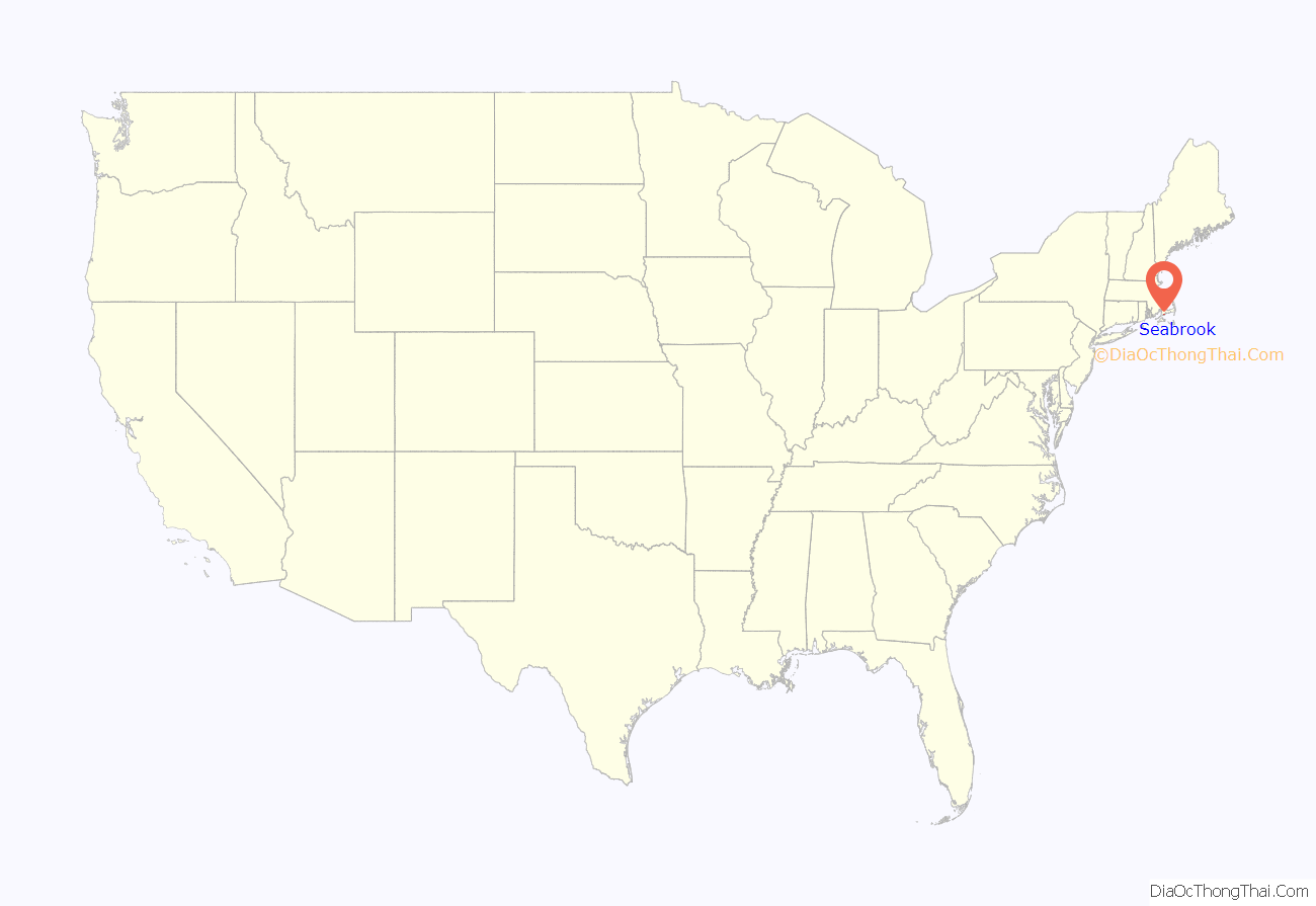
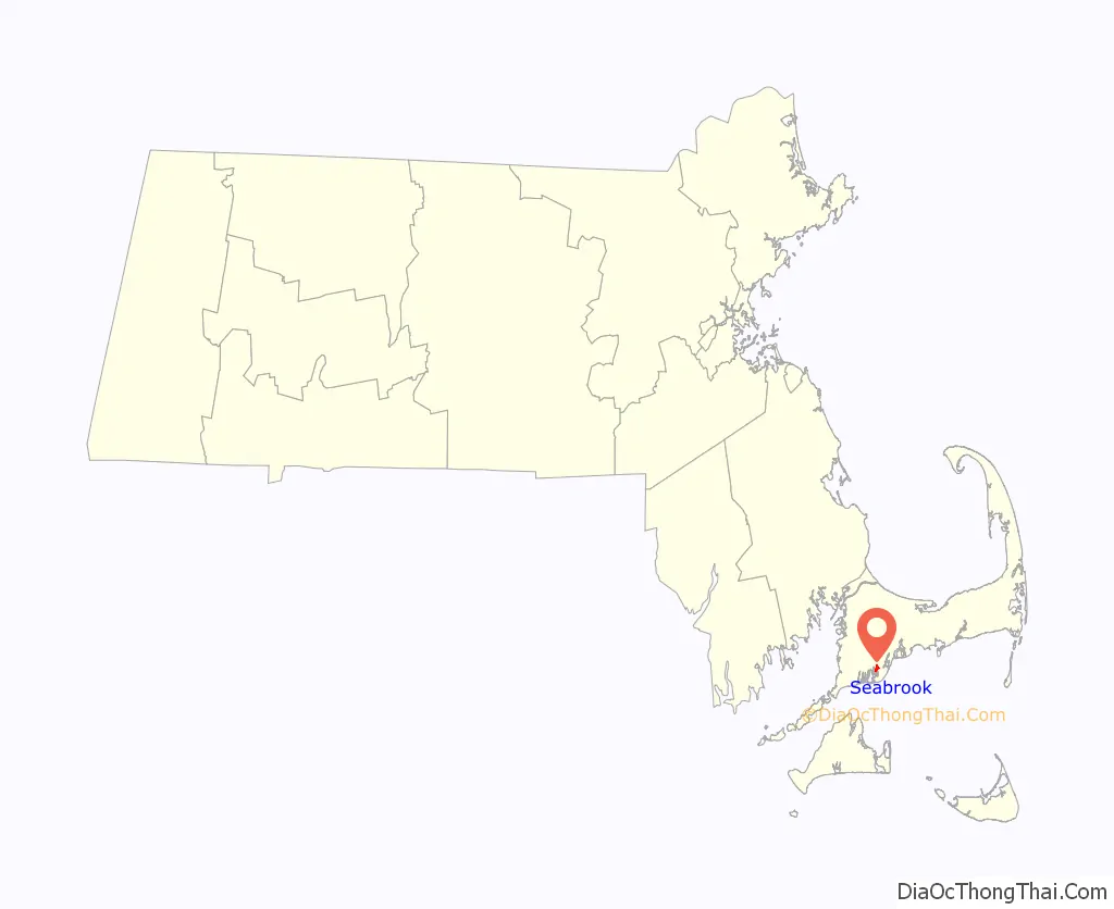
Seabrook location map. Where is Seabrook CDP?
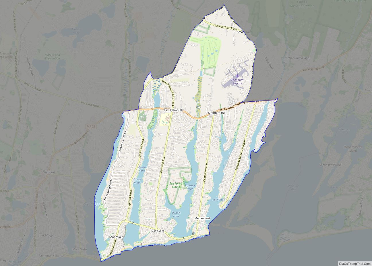
Seabrook Road Map
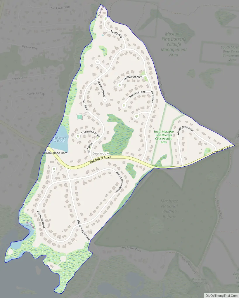
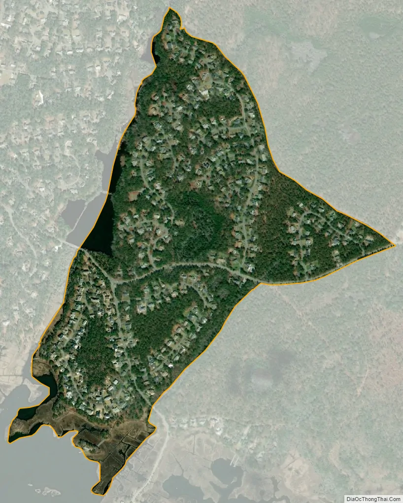
Seabrook city Satellite Map
Geography
Seabrook is located in the southern part of the town of Mashpee along its western border at 41°34′55″N 70°29′55″W / 41.58194°N 70.49861°W / 41.58194; -70.49861 (41.582070, -70.498618). It is bounded by the town of Falmouth to the west, by Old Ockway Road to the northeast, by a short segment of Red Brook Road and by the Monomoscoy Island CDP to the southeast, and by Hamblin Pond to the south.
According to the United States Census Bureau, the CDP has a total area of 0.35 square miles (0.9 km), all land.
See also
Map of Massachusetts State and its subdivision: Map of other states:- Alabama
- Alaska
- Arizona
- Arkansas
- California
- Colorado
- Connecticut
- Delaware
- District of Columbia
- Florida
- Georgia
- Hawaii
- Idaho
- Illinois
- Indiana
- Iowa
- Kansas
- Kentucky
- Louisiana
- Maine
- Maryland
- Massachusetts
- Michigan
- Minnesota
- Mississippi
- Missouri
- Montana
- Nebraska
- Nevada
- New Hampshire
- New Jersey
- New Mexico
- New York
- North Carolina
- North Dakota
- Ohio
- Oklahoma
- Oregon
- Pennsylvania
- Rhode Island
- South Carolina
- South Dakota
- Tennessee
- Texas
- Utah
- Vermont
- Virginia
- Washington
- West Virginia
- Wisconsin
- Wyoming