Shelburne Falls is a historic village in the towns of Shelburne and Buckland in Franklin County, Massachusetts, United States. The village is a census-designated place (CDP) with a population of 1,731 at the 2010 census. It is part of the Springfield, Massachusetts, Metropolitan Statistical Area.
Notable features include the Bridge of Flowers, a former trolley bridge over the Deerfield River that is now maintained by the Shelburne Falls Women’s Club as a floral display from April through October; the Shelburne Falls Trolley Museum; and the glacial potholes of the Deerfield River. The downtown includes an independently owned pharmacy with a soda fountain, one coffee shop, a trolley museum, several restaurants, two pizza parlors, three bookstores, a newsstand, a country doctor, a grocery store, a natural foods store, many artists’ galleries, and the second oldest bowling alley in the country, the Shelburne Falls Bowling Alley candlepin. A community newspaper, the West County Independent, serves Shelburne Falls and the surrounding towns. On the Shelburne side of town is the Buckland-Shelburne Elementary School, with over 200 students. On the Buckland side of town is Mohawk Trail Regional Middle School/High School with approximately 500 students.
| Name: | Shelburne Falls CDP |
|---|---|
| LSAD Code: | 57 |
| LSAD Description: | CDP (suffix) |
| State: | Massachusetts |
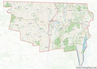
| County: | Franklin County |
| Elevation: | 417 ft (127 m) |
| Total Area: | 2.71 sq mi (7.03 km²) |
| Land Area: | 2.63 sq mi (6.81 km²) |
| Water Area: | 0.08 sq mi (0.22 km²) |
| Total Population: | 1,719 |
| Population Density: | 653.86/sq mi (252.45/km²) |
| ZIP code: | 01370 |
| Area code: | 413 |
| FIPS code: | 2561205 |
| GNISfeature ID: | 0608657 |
Online Interactive Map
Click on ![]() to view map in "full screen" mode.
to view map in "full screen" mode.
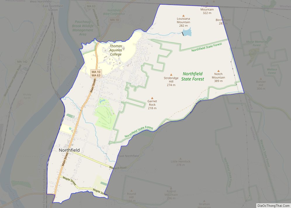
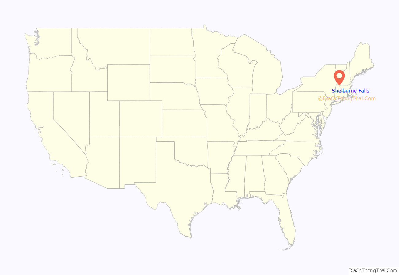
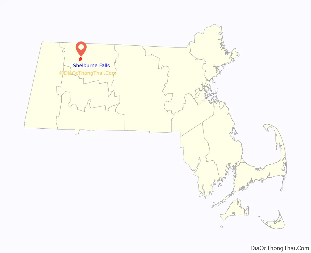
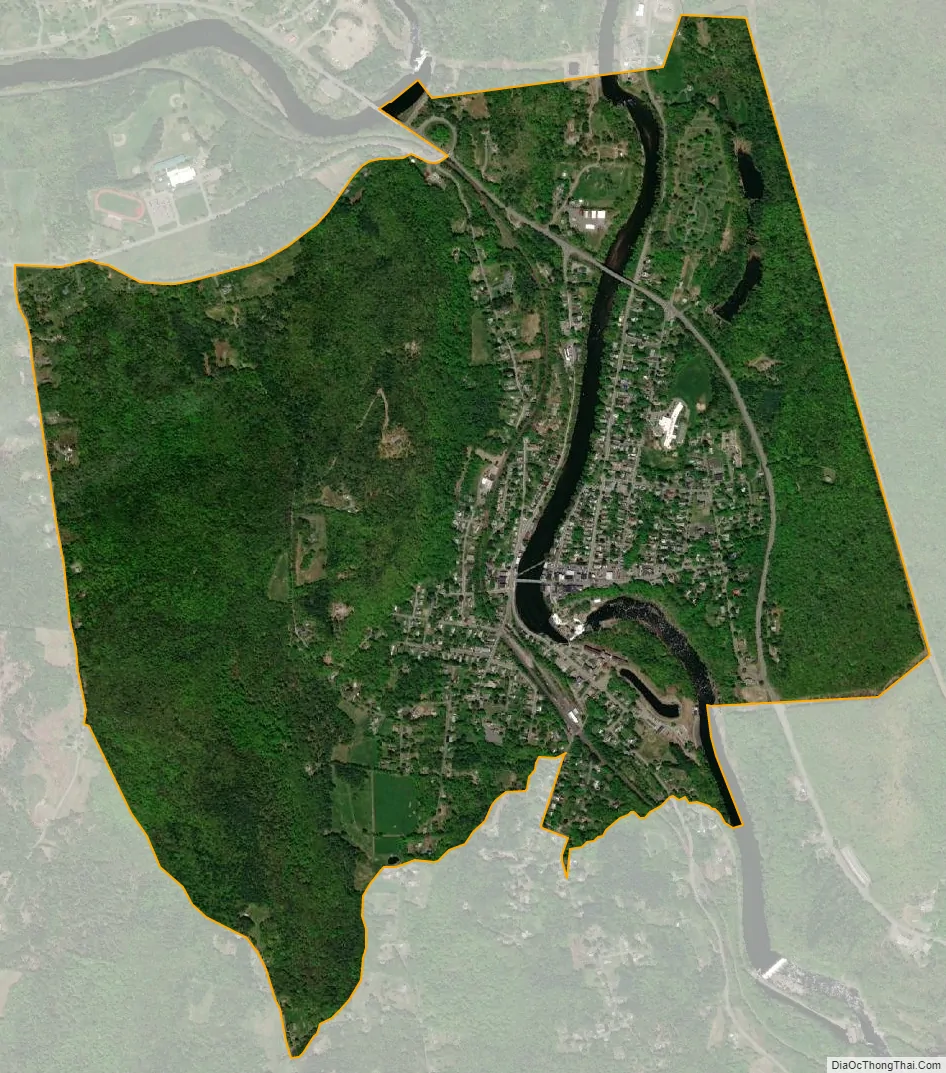
Shelburne Falls location map. Where is Shelburne Falls CDP?
History
Silas Lamson was a 19th-century American inventor and manufacturer of scythe handles, agricultural implements, knives and cutlery. In 1834, Lamson patented a method for manufacturing curved snath handles for scythes used to harvest hay and wheat. The downward curve of the handle was an ergonomic improvement over straight-handled scythes. Three years later he partnered with two of his sons and with Abel Goodnow to found Lamson & Goodnow, a knife manufacturing company, in Shelburne Falls. By the time of the Civil War, the company employed more than 500 workers, making it one of the largest cutlery companies in the United States. The company exists in the 21st century as Lamson, with an outlet store in Shelburne Falls.
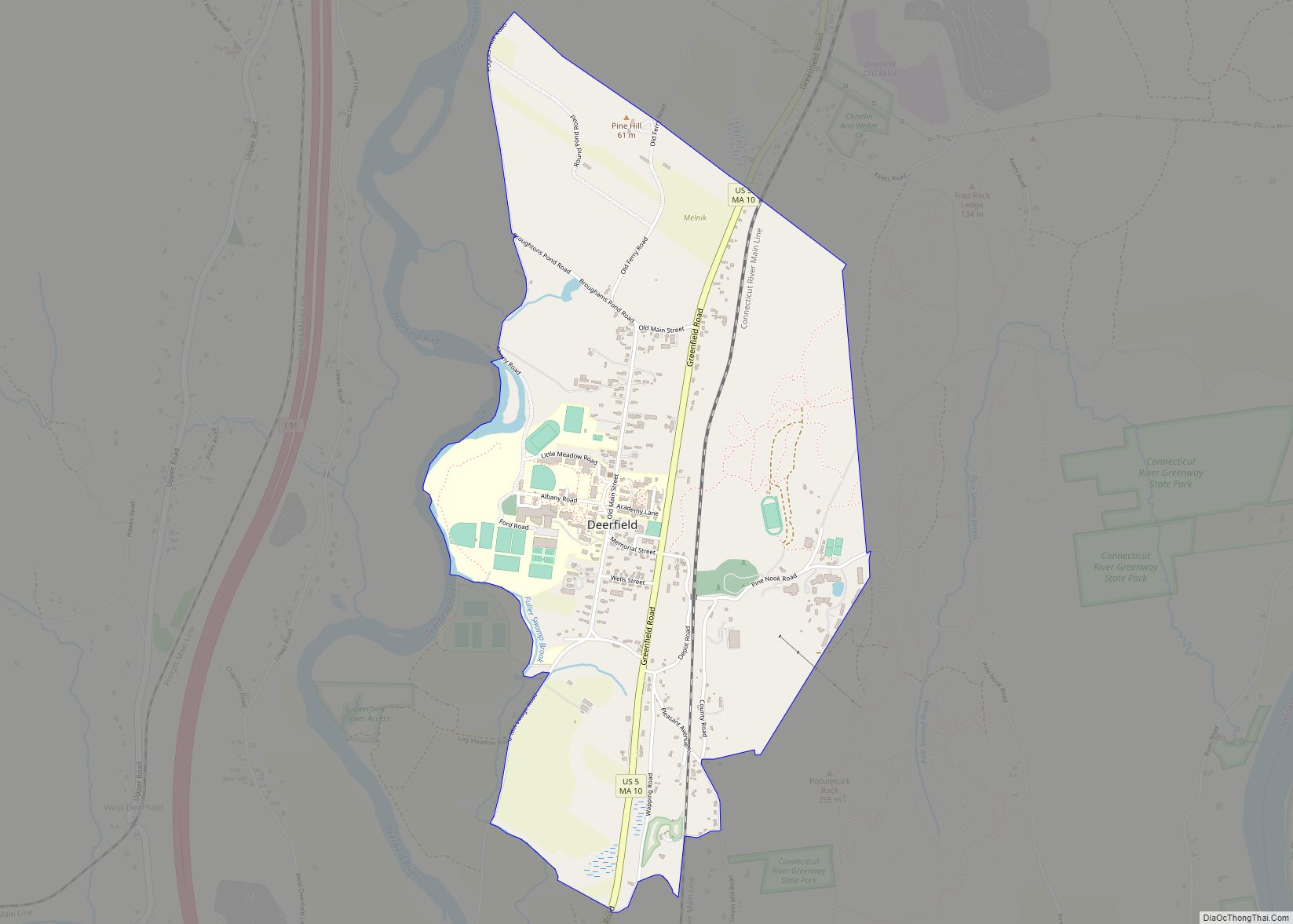
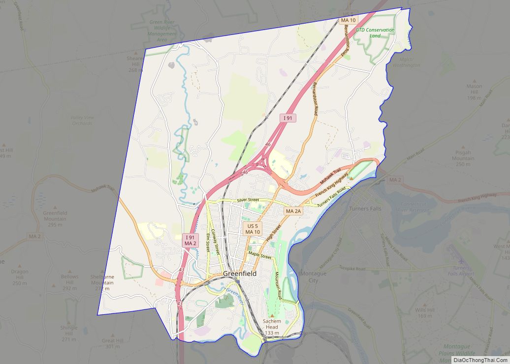
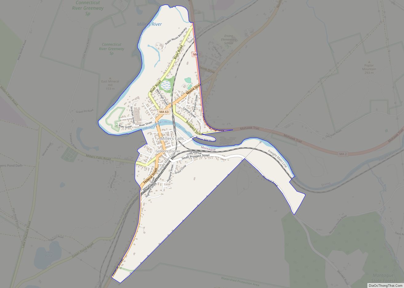
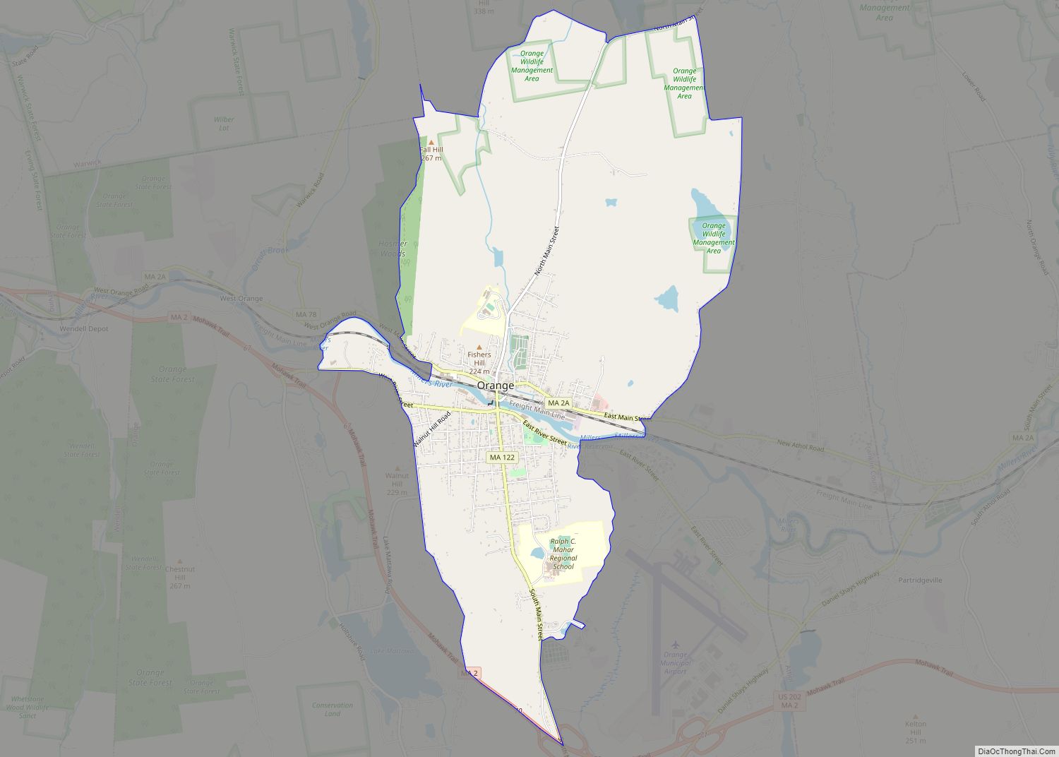
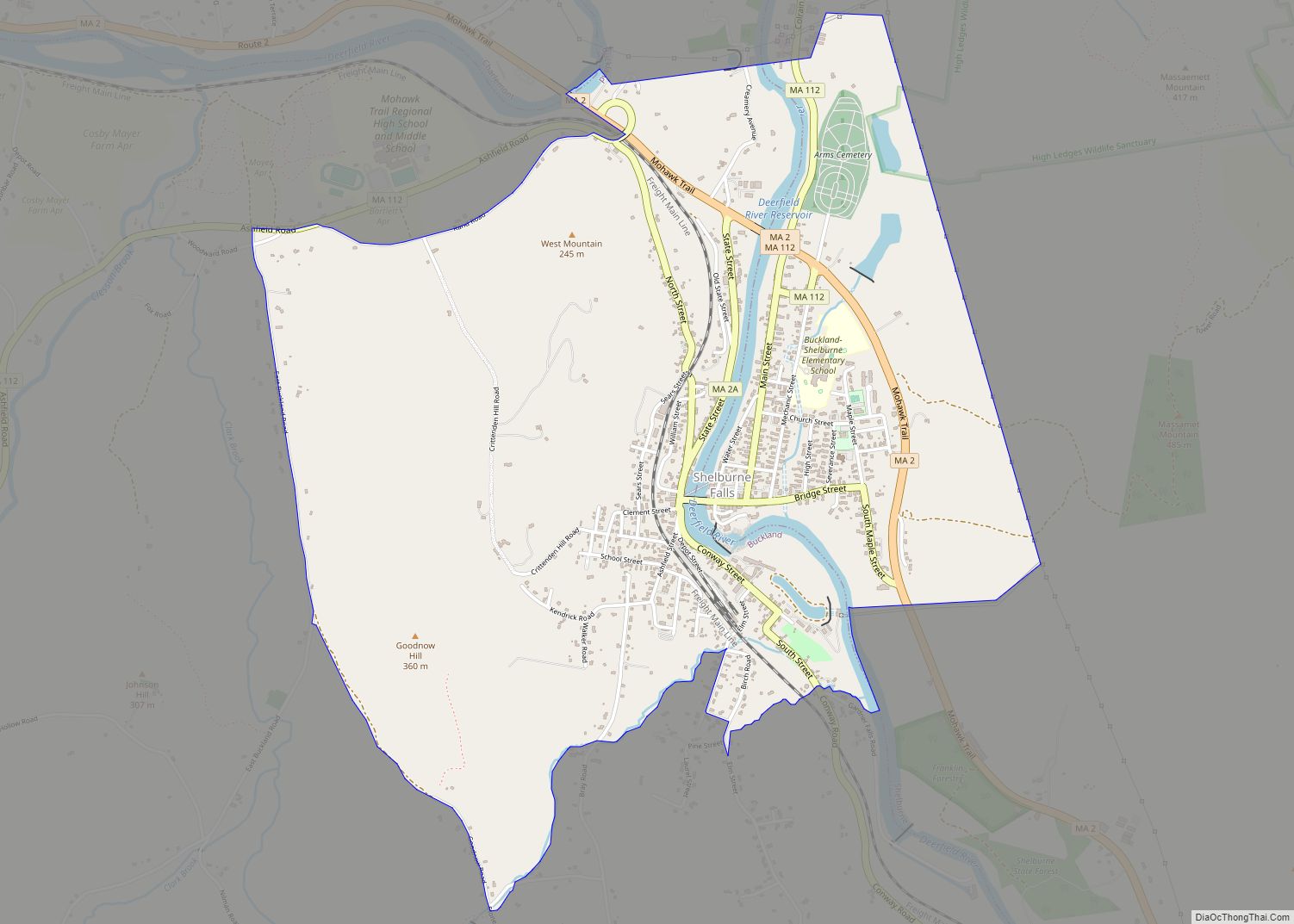
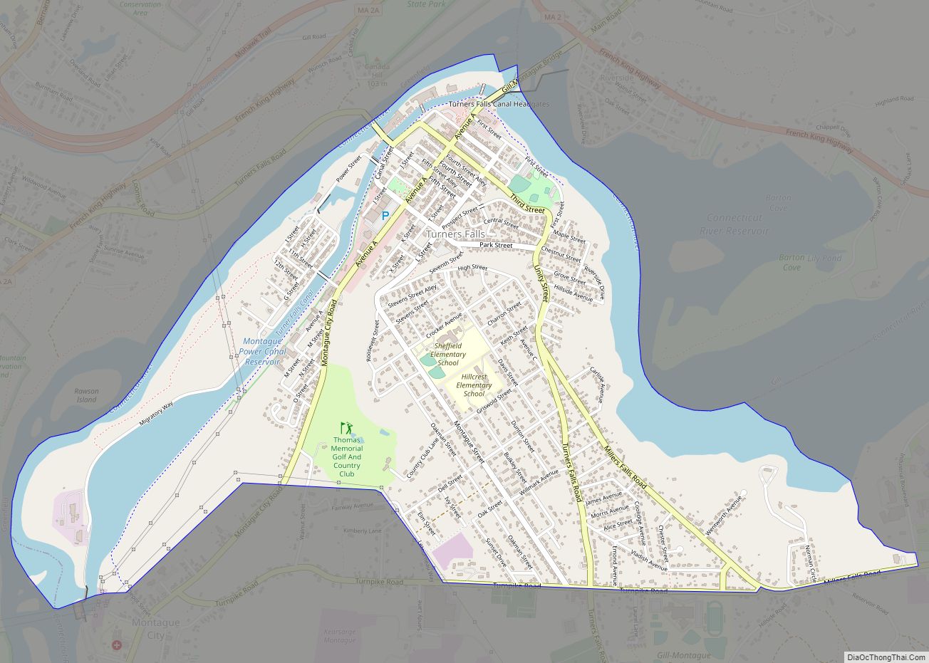
Shelburne Falls Road Map
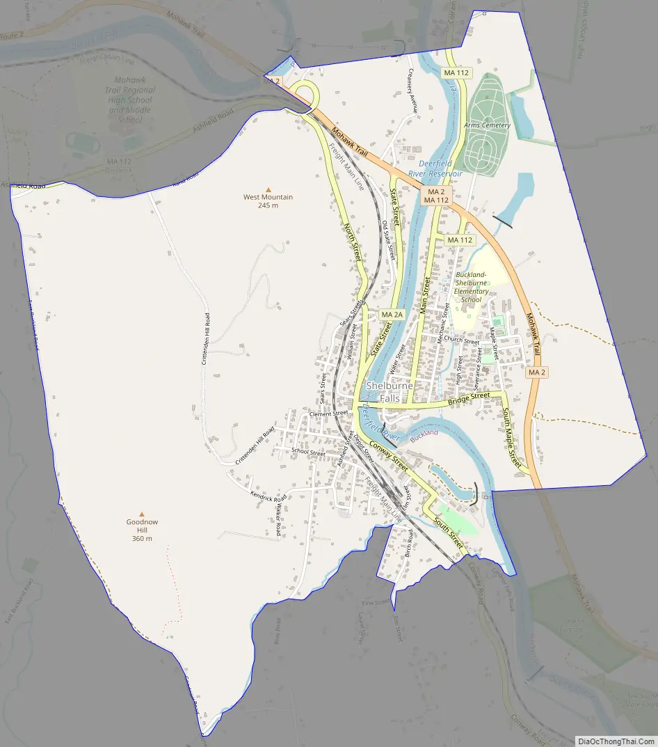
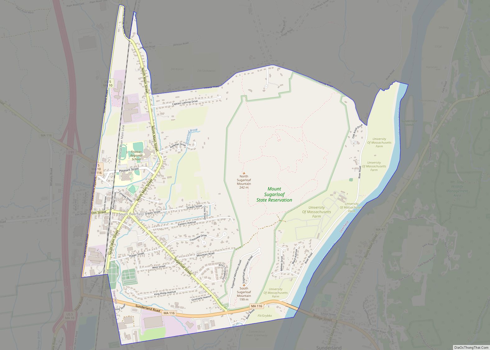
Shelburne Falls city Satellite Map
Geography
The Deerfield River bisects Shelburne Falls, and Massaemett Mountain rises east of the village.
According to the United States Census Bureau, the CDP has a total area of 6.8 km (2.6 mi). 6.6 km (2.5 mi) of it is land and 0.3 km (0.1 mi) of it (3.79%) is water. Shelburne Falls is served by Massachusetts Route 2, also known as the Mohawk Trail, as well as Routes 2A and 112, the former being the main route through the village.
See also
Map of Massachusetts State and its subdivision: Map of other states:- Alabama
- Alaska
- Arizona
- Arkansas
- California
- Colorado
- Connecticut
- Delaware
- District of Columbia
- Florida
- Georgia
- Hawaii
- Idaho
- Illinois
- Indiana
- Iowa
- Kansas
- Kentucky
- Louisiana
- Maine
- Maryland
- Massachusetts
- Michigan
- Minnesota
- Mississippi
- Missouri
- Montana
- Nebraska
- Nevada
- New Hampshire
- New Jersey
- New Mexico
- New York
- North Carolina
- North Dakota
- Ohio
- Oklahoma
- Oregon
- Pennsylvania
- Rhode Island
- South Carolina
- South Dakota
- Tennessee
- Texas
- Utah
- Vermont
- Virginia
- Washington
- West Virginia
- Wisconsin
- Wyoming