Whitinsville is an unincorporated village within the town of Northbridge in Worcester County, Massachusetts, United States. Whitinsville is a census-designated place (CDP) and its population was 6,750 at the 2020 census. Whitinsville is pronounced as if it were spelled “White-ins-ville”. It was founded by the Whitin family, after whom it is also named. It is a post office jurisdiction, with a ZIP Code of 01588. It is located on the Mumford River, a tributary of the Blackstone River.
Whitinsville has been designated as a mill village of national historic significance to America’s earliest industrialization, and is one of only four villages selected by the John H. Chaffee Blackstone River Valley National Historic Corridor Commission to receive this designation. Hopedale is the only other Massachusetts mill village to achieve this designation by the corridor commission.
| Name: | Whitinsville CDP |
|---|---|
| LSAD Code: | 57 |
| LSAD Description: | CDP (suffix) |
| State: | Massachusetts |
| County: | Worcester County |
| Elevation: | 322 ft (98 m) |
| Total Area: | 4.03 sq mi (10.43 km²) |
| Land Area: | 3.64 sq mi (9.43 km²) |
| Water Area: | 0.39 sq mi (1.00 km²) |
| Total Population: | 6,750 |
| Population Density: | 1,853.38/sq mi (715.52/km²) |
| ZIP code: | 01588 |
| Area code: | 508 |
| FIPS code: | 2579495 |
| GNISfeature ID: | 0611078 |
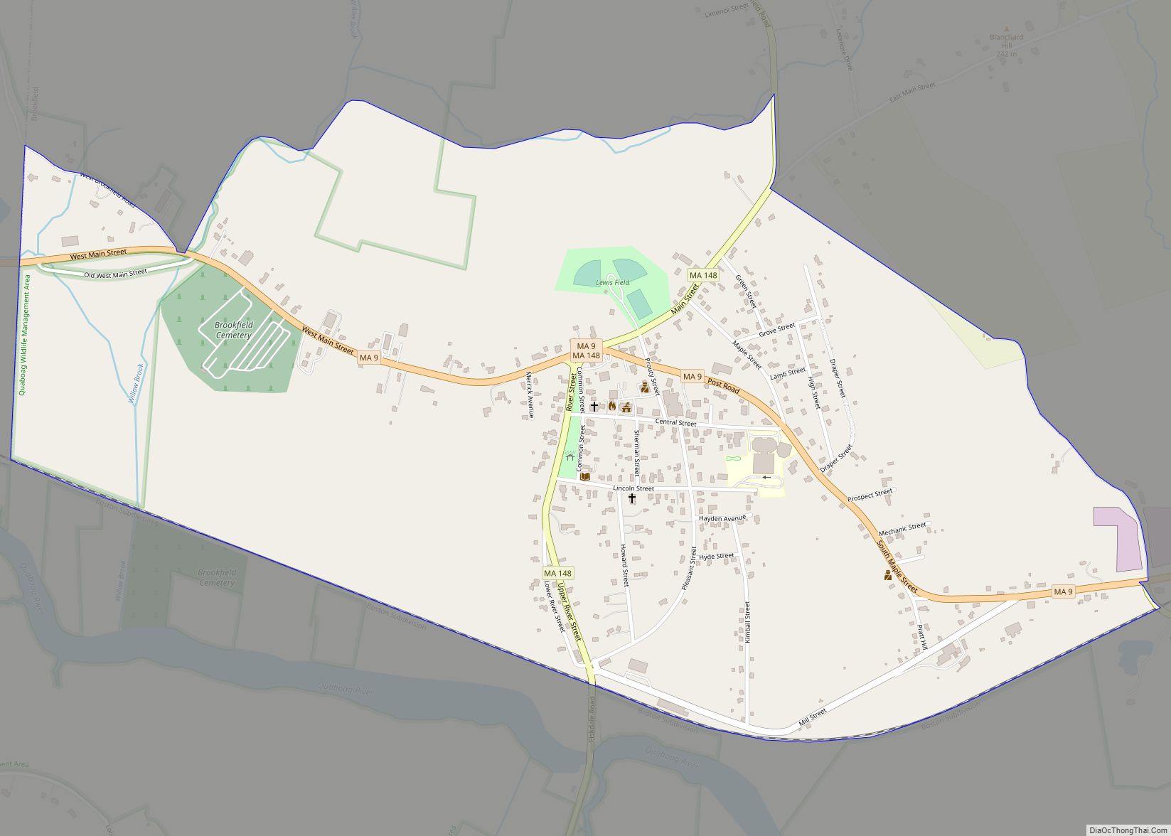
Online Interactive Map
Click on ![]() to view map in "full screen" mode.
to view map in "full screen" mode.
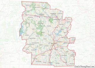
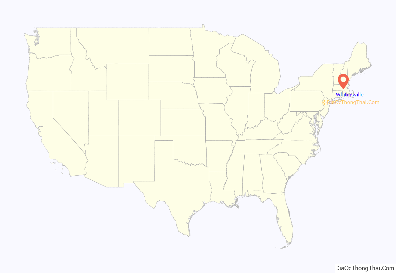
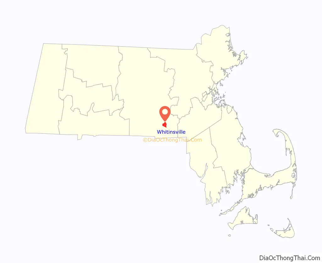
Whitinsville location map. Where is Whitinsville CDP?
History
This village was originally Nipmuc native lands, and was first settled as part of Mendon in 1662. From 1662 to 1727 it was part of Mendon, then later it became part of Uxbridge from 1727 to 1772. In 1772 Northbridge finally became a separate town. The village’s early name was “South Northbridge”, before the Whitin family’s rise to prominence. Col. John Spring led a militia training company from Uxbridge which fought in the American Revolution. Col. Spring was from the section that became South Northbridge.
Today a visitor can see much of the original village, including the housing for workers and their families, churches, and the Whitin Community Center. The textile machine company and industrial village were written up as one of the Harvard studies of history in business. Whitin Machine, founded in 1831, became the largest manufacturer of textile machinery in the world before its closing in 1964.
A 1936 Berlin Olympics champion backstroke swimmer, Alice Bridges, then of Uxbridge, trained in the local gym pool (Whitin Community Center) in Whitinsville. The Whitinsville Savings Bank was involved in a precedent-setting case in the U.S., involving tort and contract law, known as “Swinton vs. Whitinsville Savings Bank (1942)”. A real estate transaction two years earlier had failed to disclose termites in a building.
Whitinsville Road Map
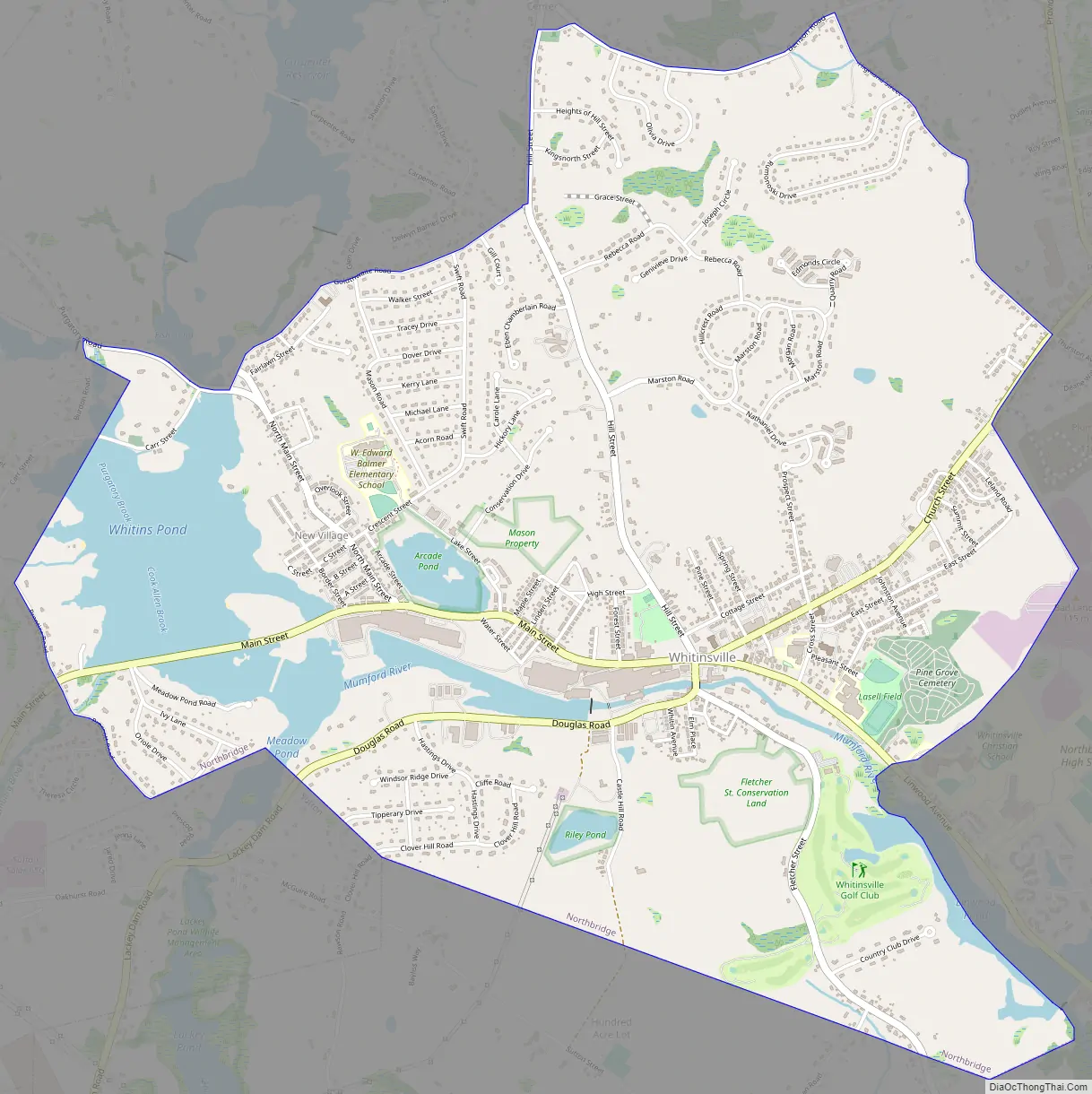
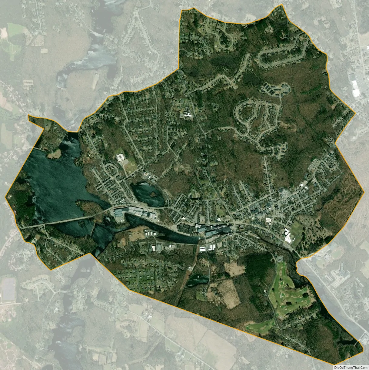
Whitinsville city Satellite Map
Geography
Whitinsville is located at 42°6′44″N 71°40′22″W / 42.11222°N 71.67278°W / 42.11222; -71.67278 (42.112208, -71.672890).
According to the 2010 United States Census Bureau, the CDP has a total area of 3.64 square miles with 1,840.2 persons per square mile. Whitinsville is a “village” within the incorporated town of Northbridge, Massachusetts. It is located in Worcester County.
See also
Map of Massachusetts State and its subdivision: Map of other states:- Alabama
- Alaska
- Arizona
- Arkansas
- California
- Colorado
- Connecticut
- Delaware
- District of Columbia
- Florida
- Georgia
- Hawaii
- Idaho
- Illinois
- Indiana
- Iowa
- Kansas
- Kentucky
- Louisiana
- Maine
- Maryland
- Massachusetts
- Michigan
- Minnesota
- Mississippi
- Missouri
- Montana
- Nebraska
- Nevada
- New Hampshire
- New Jersey
- New Mexico
- New York
- North Carolina
- North Dakota
- Ohio
- Oklahoma
- Oregon
- Pennsylvania
- Rhode Island
- South Carolina
- South Dakota
- Tennessee
- Texas
- Utah
- Vermont
- Virginia
- Washington
- West Virginia
- Wisconsin
- Wyoming