Woods Hole is a census-designated place in the town of Falmouth in Barnstable County, Massachusetts, United States. It lies at the extreme southwest corner of Cape Cod, near Martha’s Vineyard and the Elizabeth Islands. The population was 781 at the 2010 census.
It is the site of several marine science institutions, including Woods Hole Oceanographic Institution, the Marine Biological Laboratory, the Woodwell Climate Research Center, NOAA’s Northeast Fisheries Science Center (which started the Woods Hole scientific community in 1871), the Woods Hole Science Aquarium, a USGS coastal and marine geology center, and the home campus of the Sea Education Association. And the headquarter of the Climate Foundation.
It is also the site of United States Coast Guard Sector Southeastern New England (formerly USCG Group Woods Hole), the Nobska Light lighthouse, and the terminus of the Steamship Authority ferry route between Cape Cod and the island of Martha’s Vineyard.
| Name: | Woods Hole CDP |
|---|---|
| LSAD Code: | 57 |
| LSAD Description: | CDP (suffix) |
| State: | Massachusetts |
| County: | Barnstable County |
| Elevation: | 20 ft (6 m) |
| Total Area: | 3.93 sq mi (10.19 km²) |
| Land Area: | 2.13 sq mi (5.53 km²) |
| Water Area: | 1.80 sq mi (4.66 km²) |
| Total Population: | 834 |
| Population Density: | 390.63/sq mi (150.79/km²) |
| ZIP code: | 02543 |
| Area code: | 508 |
| FIPS code: | 2581245 |
| GNISfeature ID: | 0617060 |
Online Interactive Map
Click on ![]() to view map in "full screen" mode.
to view map in "full screen" mode.
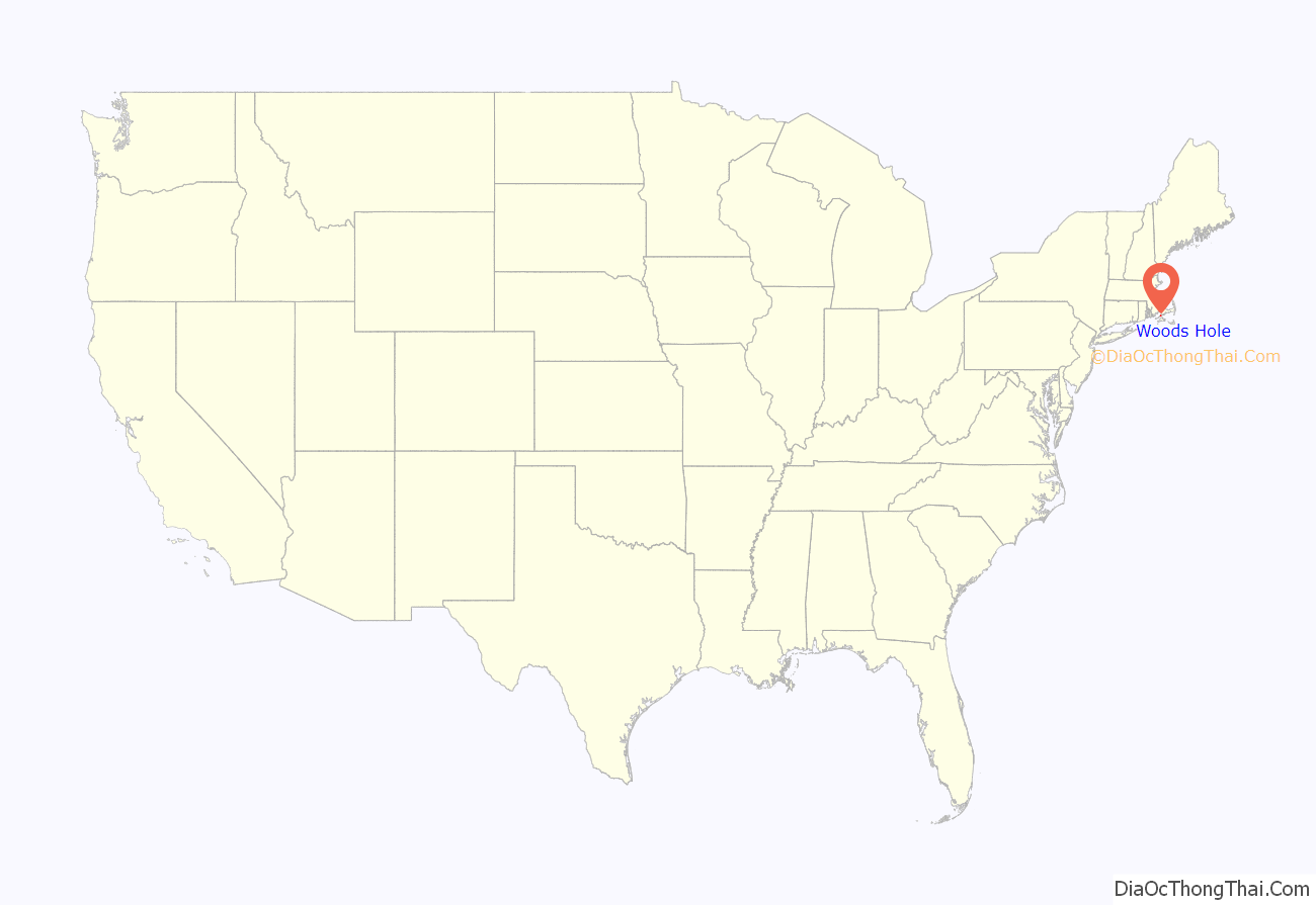
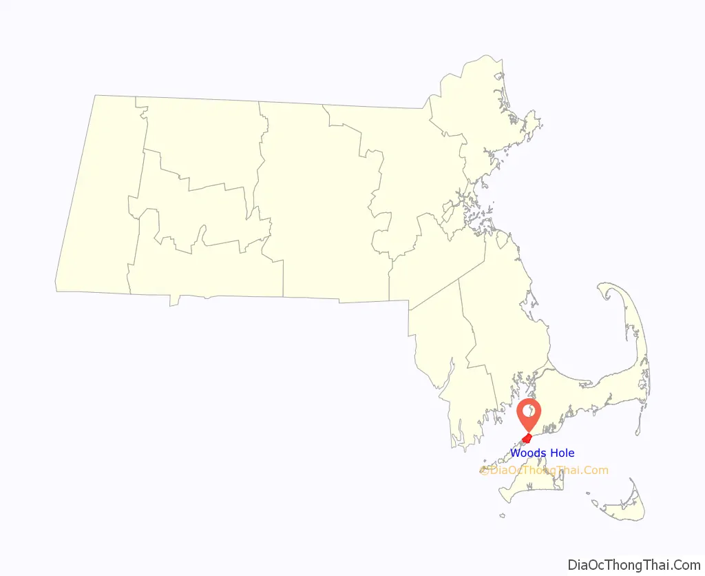
Woods Hole location map. Where is Woods Hole CDP?
History
Historically, Woods Hole included one of the few good harbors (along with Hyannis) on the southern side of Cape Cod (i.e. Great Harbor, contained by Penzance Point). The community became a center for whaling, shipping, and fishing, prior to its dominance today by tourism and marine research. At the end of the nineteenth century, Woods Hole was the home of the Pacific Guano Company, which produced fertilizer from guano imported from islands in the Pacific Ocean, the Caribbean, and the coast of South Carolina. After the firm went bankrupt in 1889, Long Neck–the peninsula on which their factory was located–was renamed Penzance Point and was developed with shingle-style summer homes for bankers and lawyers from New York and Boston. Notable property owners on Penzance Point at the beginning of the twentieth century included Seward Prosser of New York’s Bankers Trust Company; Francis Bartow, a partner in J. P. Morgan and Company; Joseph Lee, a partner in Lee, Higginson & Co.; and Franklin A. Park, an executive of Singer Sewing Machine. Other notable businessmen established homes on Gansett Point, Nobska Point, and at Quissett Harbor, further from the village center. Irving Langmuir, the famous Scientist, also lived in Woods Hole and died there on August 16, 1957. Before 1898, the Woods Hole Yacht Club was formed. In 1899, the Woods Hole Golf course was started. Around 1919, it was expanded to 18 holes. In 1976, The Woods Hole Foundation was created.
Woods Hole Road Map
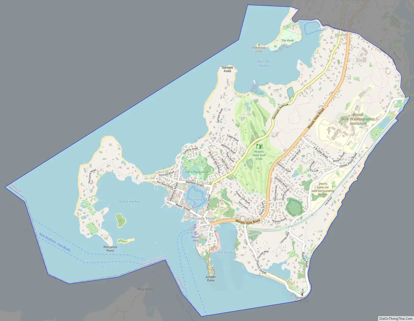
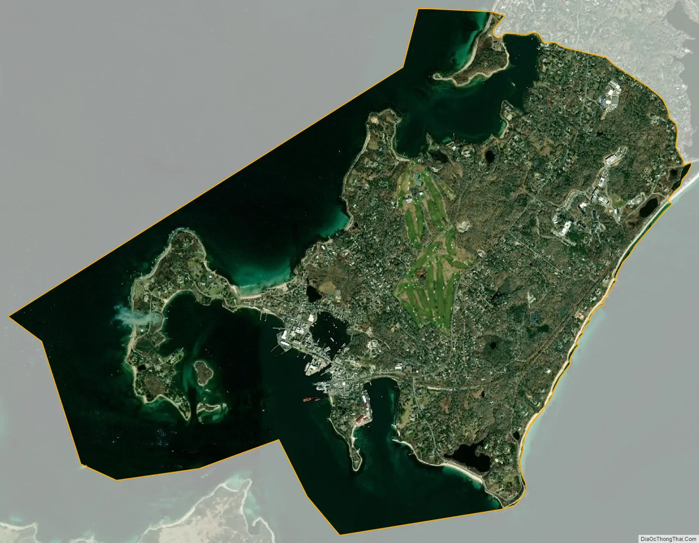
Woods Hole city Satellite Map
Geography
Woods Hole is located at the southwest tip of the town of Falmouth (and of Cape Cod) at 41°31′36″N 70°39′47″W / 41.52667°N 70.66306°W / 41.52667; -70.66306 (41.526730, -70.663184). The term “Woods Hole” refers to a strait named Woods Hole, which separates Cape Cod from the Elizabeth Islands (specifically, Uncatena Island and Nonamesset Island) and which boats, yachts, and small ferries can use to travel between Vineyard Sound and Buzzards Bay. The strait is known for its extremely strong current, approaching four knots. It is one of four straits allowing maritime passage between Buzzards Bay and Vineyard Sound; the others are Canapitsit Channel, Quick’s Hole and Robinson’s Hole. Published yearly is the Eldridge Tide and Pilot Book, which has a detailed reference section showing the complex pattern of tides and currents. Ferries operated by The Woods Hole, Martha’s Vineyard and Nantucket Steamship Authority run regularly between Woods Hole and Martha’s Vineyard. The present Woods Hole, Martha’s Vineyard and Nantucket Steamship Authority was formed from the New Bedford, Martha’s Vineyard, and Nantucket Steamboat Company, which in turn was a consolidation of earlier companies dating to the early 19th century, just before the railroad arrived.
Much of Woods Hole centers around the enclosed harbor of Eel Pond. The Eel Pond Bridge, a bascule drawbridge at the mouth of the harbor, allows boats to enter and exit the harbor according to a fixed schedule posted on the side of the bridge.
Nobska Light, a lighthouse at Nobska Point, is operated by the United States Coast Guard, and the accompanying house is the home of the commander of the Coast Guard base at Little Harbor.
The local landmark The Knob is a rocky outcropping that overlooks Buzzards Bay and Quisset Harbor. It is a part of the privately owned Salt Pond bird sanctuaries.
According to the United States Census Bureau, the Woods Hole CDP has a total area of 3.9 square miles (10.1 km). 2.1 square miles (5.5 km) of it is land, and 1.8 square miles (4.6 km) of it (45.24%) is water.
Climate
See also
Map of Massachusetts State and its subdivision: Map of other states:- Alabama
- Alaska
- Arizona
- Arkansas
- California
- Colorado
- Connecticut
- Delaware
- District of Columbia
- Florida
- Georgia
- Hawaii
- Idaho
- Illinois
- Indiana
- Iowa
- Kansas
- Kentucky
- Louisiana
- Maine
- Maryland
- Massachusetts
- Michigan
- Minnesota
- Mississippi
- Missouri
- Montana
- Nebraska
- Nevada
- New Hampshire
- New Jersey
- New Mexico
- New York
- North Carolina
- North Dakota
- Ohio
- Oklahoma
- Oregon
- Pennsylvania
- Rhode Island
- South Carolina
- South Dakota
- Tennessee
- Texas
- Utah
- Vermont
- Virginia
- Washington
- West Virginia
- Wisconsin
- Wyoming