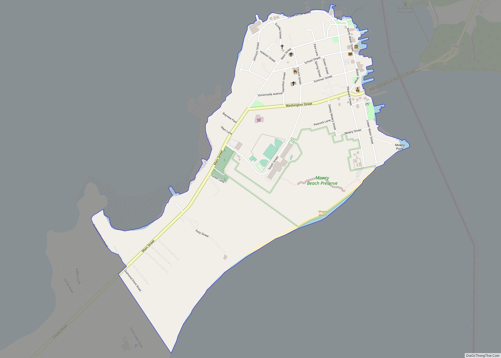
Lubec (/luːˈbɛk/ loo-BEK) is a town in Washington County, Maine, United States. It is the easternmost municipality in the contiguous U.S. (see extreme points of the United States) and is the country’s closest continental location to Africa.
The town, with a population of 1,237 at the 2020 census, is home to Quoddy Head State Park.
| Name: | Lubec CDP |
|---|---|
| LSAD Code: | 57 |
| LSAD Description: | CDP (suffix) |
| State: | Maine |
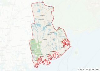
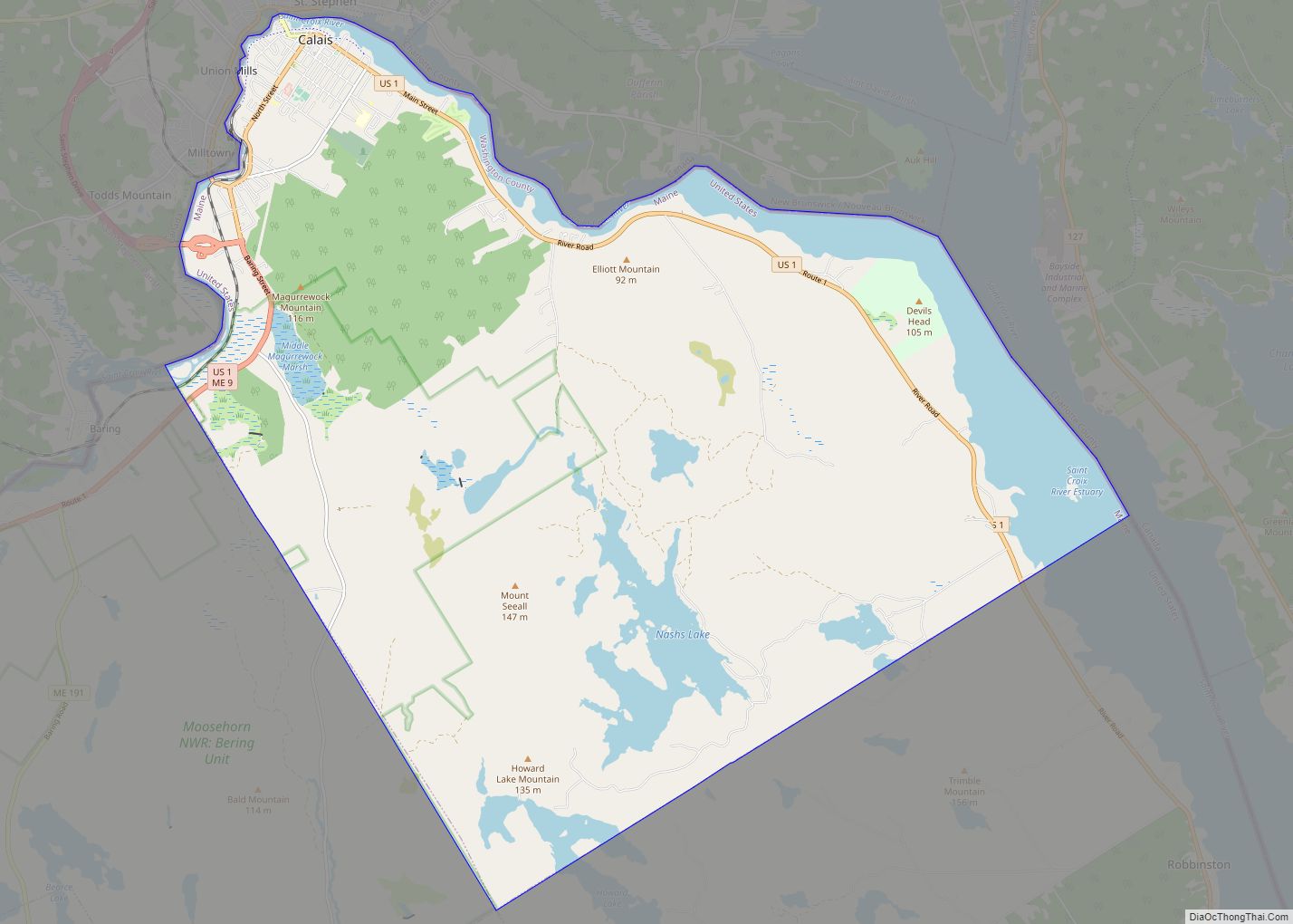
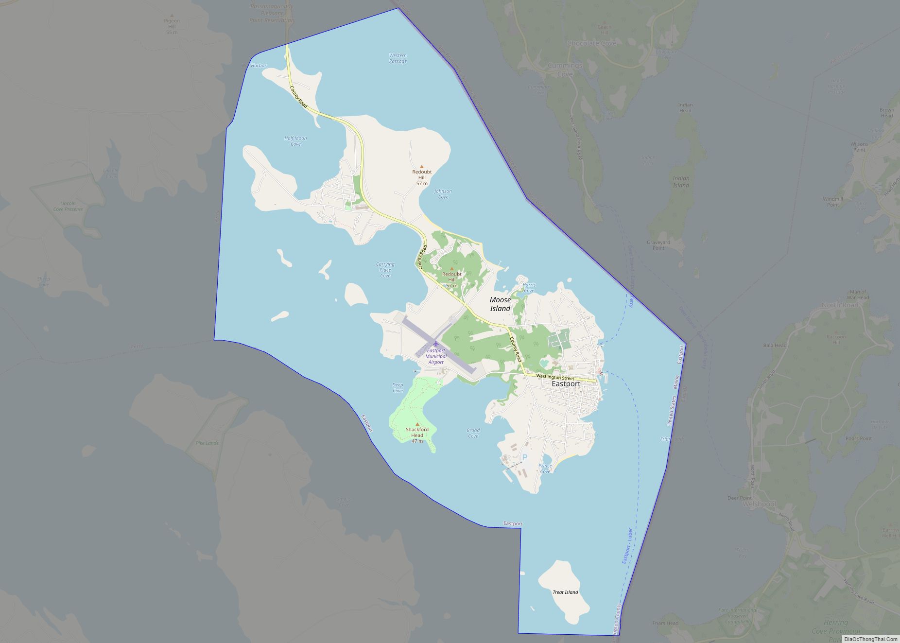
| County: | Washington County |
| Incorporated: | 1811 |
| Elevation: | 62 ft (19 m) |
| Total Area: | 78.38 sq mi (203.00 km²) |
| Land Area: | 33.25 sq mi (86.12 km²) |
| Water Area: | 45.13 sq mi (116.89 km²) |
| Total Population: | 1,237 |
| Population Density: | 37.20/sq mi (14.36/km²) |
| ZIP code: | 04652 |
| Area code: | 207 |
| FIPS code: | 2341575 |
| GNISfeature ID: | 0582570 |
| Website: | townoflubec.com |
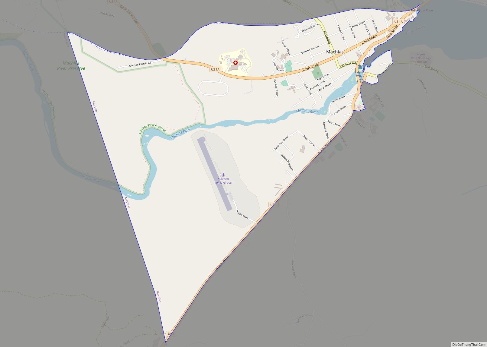
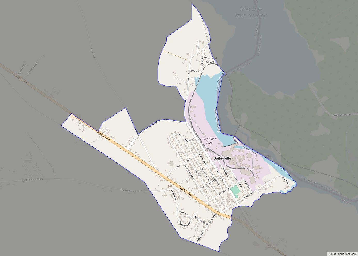
Online Interactive Map
Click on ![]() to view map in "full screen" mode.
to view map in "full screen" mode.
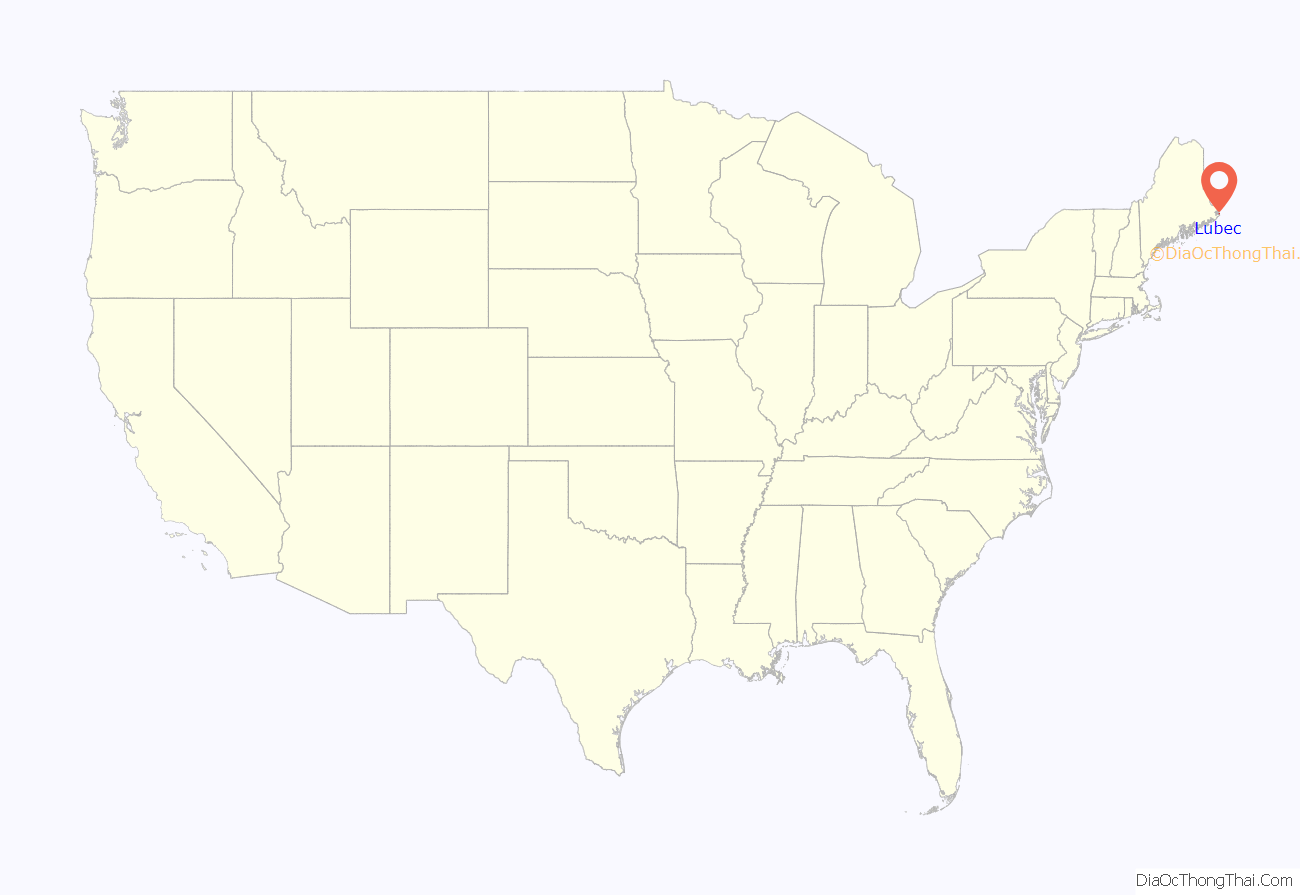
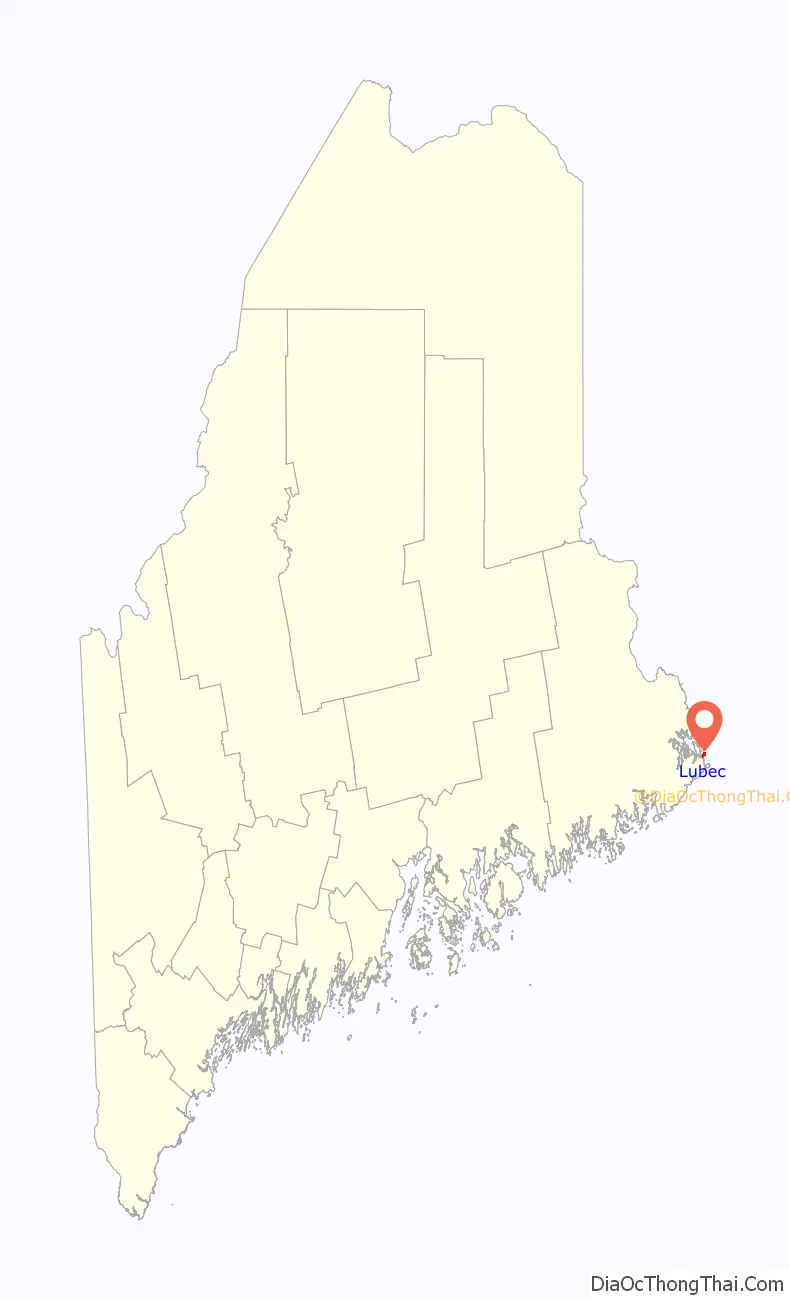
Lubec location map. Where is Lubec CDP?
History
Located on a peninsula overlooking an ice-free harbor, the town was first settled about 1775. Originally part of Eastport, it was set off and incorporated on June 21, 1811, and named for Lübeck, Germany. Following the War of 1812, Lubec was the site of considerable smuggling trade in gypsum, although principal industries remained agriculture and fisheries. By 1859, there was a tannery, three gristmills and nine sawmills; by 1886, there were also two shipyards, three boatbuilders and three sailmakers.
From 1897 to 1898, the town was the site of a swindle in the sale of stock in the Electrolytic Marine Salts Company, the brainchild of Reverend Prescott Jernegan and Charles Fisher of Martha’s Vineyard. Jernegan claimed to have developed a method of using “accumulators” to get gold from sea water, and bought an old grist mill to turn it into a factory. The scheme attracted an abundance of investors, who were all too eager to funnel money into the company after being promised astronomical returns. In the summer of 1898, work was suspended without explanation. Jernegan and Smith vanished, and the fraud was gleefully exposed by newspapers across New England.
Lubec reached its population peak in the 1910s and 1920s, hovering a little above 3,300. Since then, the population has generally been in a gradual but steady decline, and currently sits at a little over 1,300.
General view c. 1910
War monument in 1908
Bank Square c. 1908
Lubec in 1973
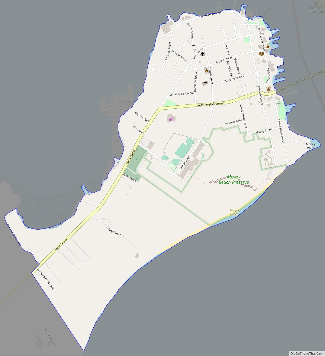
Lubec Road Map
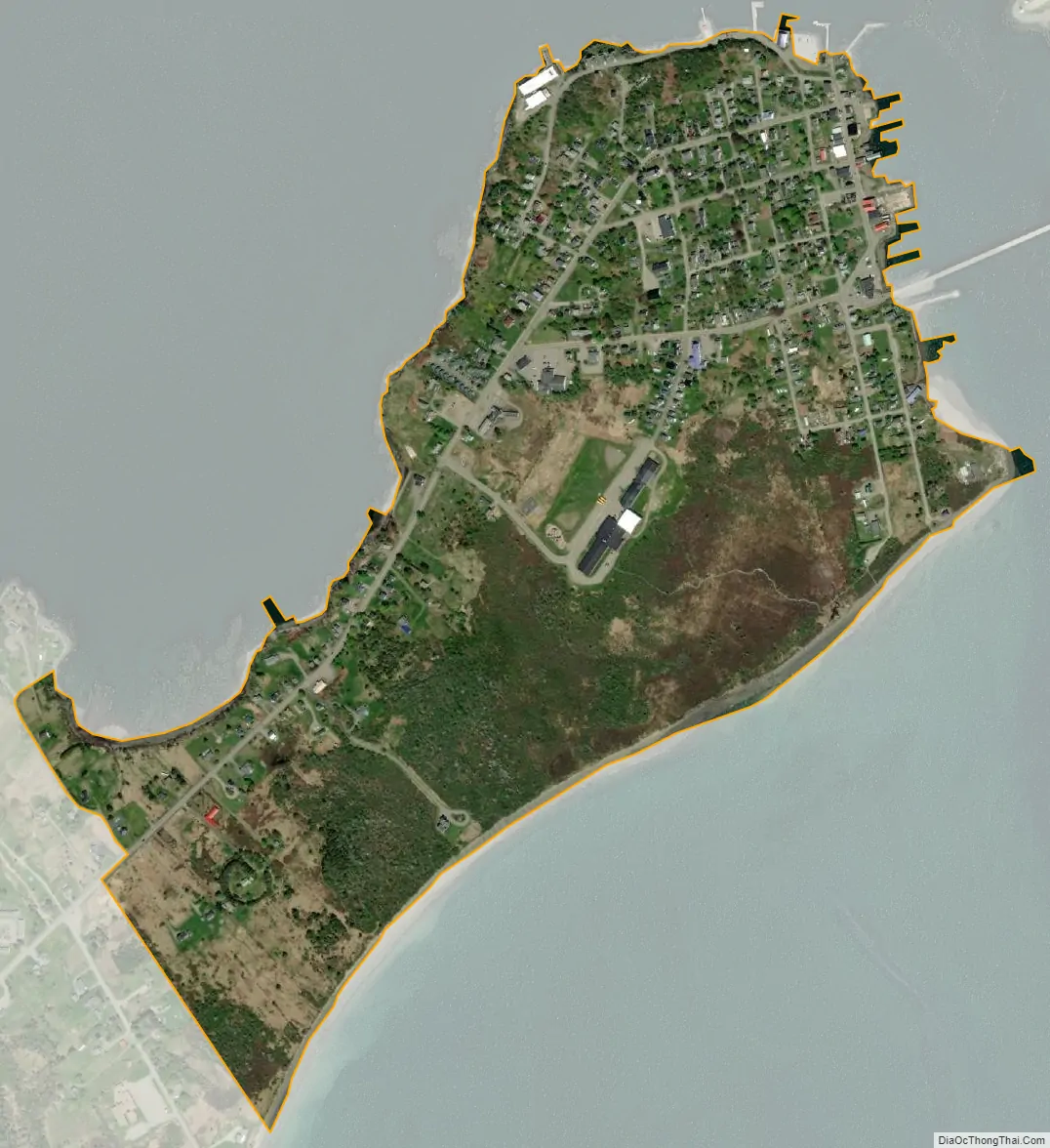
Lubec city Satellite Map
Geography
Lubec is located in northeastern Maine, at 44°51′38″N 66°59′5″W / 44.86056°N 66.98472°W / 44.86056; -66.98472.
According to the United States Census Bureau, the town has a total area of 78.38 square miles (203.00 km), of which 33.25 square miles (86.12 km) is land and 45.13 square miles (116.89 km) is water. Lubec is located on a peninsula in Passamaquoddy Bay, slightly south of Eastport. The West Quoddy Head is southeast.
Lubec is the easternmost town of the contiguous United States. West Quoddy Head in Lubec is the easternmost point in the contiguous United States, located at 44°48′54″N 66°57′1″W / 44.81500°N 66.95028°W / 44.81500; -66.95028 longitude. It is adjacent to the Quoddy Narrows, a narrow strait between Canada and the United States, one of the entrances into Passamaquoddy Bay. Since 1808, West Quoddy Head Lighthouse has been on the site to guide ships through this waterway. The present lighthouse with its distinctive red-and-white stripes was built in 1858.
Lubec is crossed by Maine State Route 189. The Franklin Delano Roosevelt Bridge connects the town to Campobello Island, New Brunswick, Canada.
Sites of interest
- Lubec Channel Light
West Quoddy Head Lighthouse
Center of Lubec as seen from Campobello Island
See also
Map of Maine State and its subdivision: Map of other states:- Alabama
- Alaska
- Arizona
- Arkansas
- California
- Colorado
- Connecticut
- Delaware
- District of Columbia
- Florida
- Georgia
- Hawaii
- Idaho
- Illinois
- Indiana
- Iowa
- Kansas
- Kentucky
- Louisiana
- Maine
- Maryland
- Massachusetts
- Michigan
- Minnesota
- Mississippi
- Missouri
- Montana
- Nebraska
- Nevada
- New Hampshire
- New Jersey
- New Mexico
- New York
- North Carolina
- North Dakota
- Ohio
- Oklahoma
- Oregon
- Pennsylvania
- Rhode Island
- South Carolina
- South Dakota
- Tennessee
- Texas
- Utah
- Vermont
- Virginia
- Washington
- West Virginia
- Wisconsin
- Wyoming