Mars Hill is a census-designated place (CDP) comprising the main village within the town of Mars Hill in Aroostook County, Maine, United States. The population of the CDP was 980 at the 2010 census, out of a population of 1,493 for the entire town. Prior to 2010, the village was part of the Mars Hill-Blaine CDP.
| Name: | Mars Hill CDP |
|---|---|
| LSAD Code: | 57 |
| LSAD Description: | CDP (suffix) |
| State: | Maine |
| County: | Aroostook County |
| Elevation: | 420 ft (130 m) |
| Total Area: | 2.16 sq mi (5.60 km²) |
| Land Area: | 2.13 sq mi (5.51 km²) |
| Water Area: | 0.03 sq mi (0.08 km²) |
| Total Population: | 818 |
| Population Density: | 384.22/sq mi (148.36/km²) |
| ZIP code: | 04758 |
| Area code: | 207 |
| FIPS code: | 2343675 |
| GNISfeature ID: | 2583562 |
Online Interactive Map
Click on ![]() to view map in "full screen" mode.
to view map in "full screen" mode.
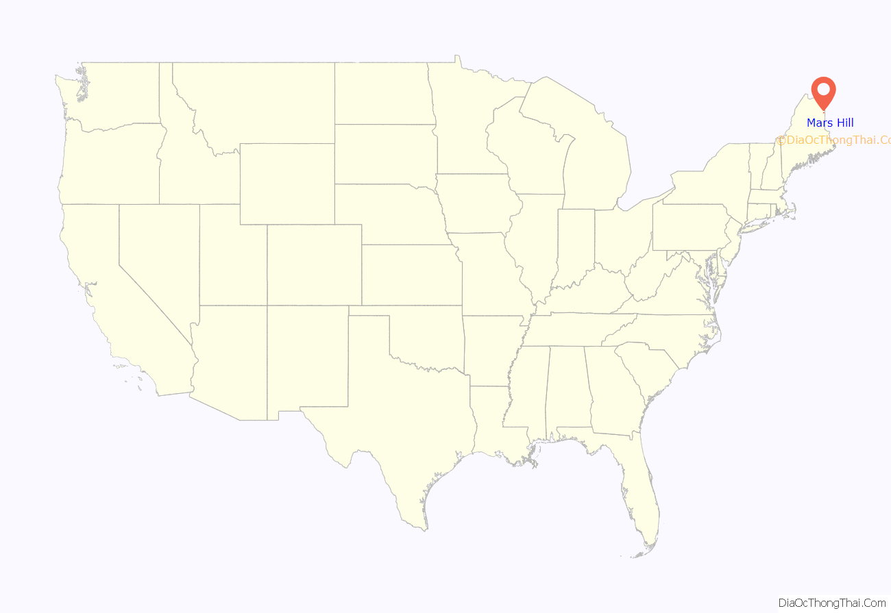
Mars Hill location map. Where is Mars Hill CDP?
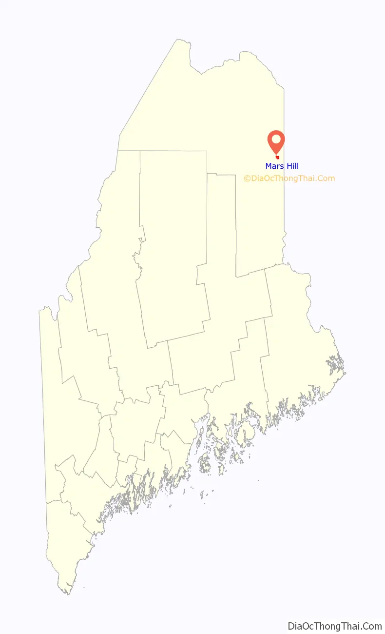
Mars Hill Road Map

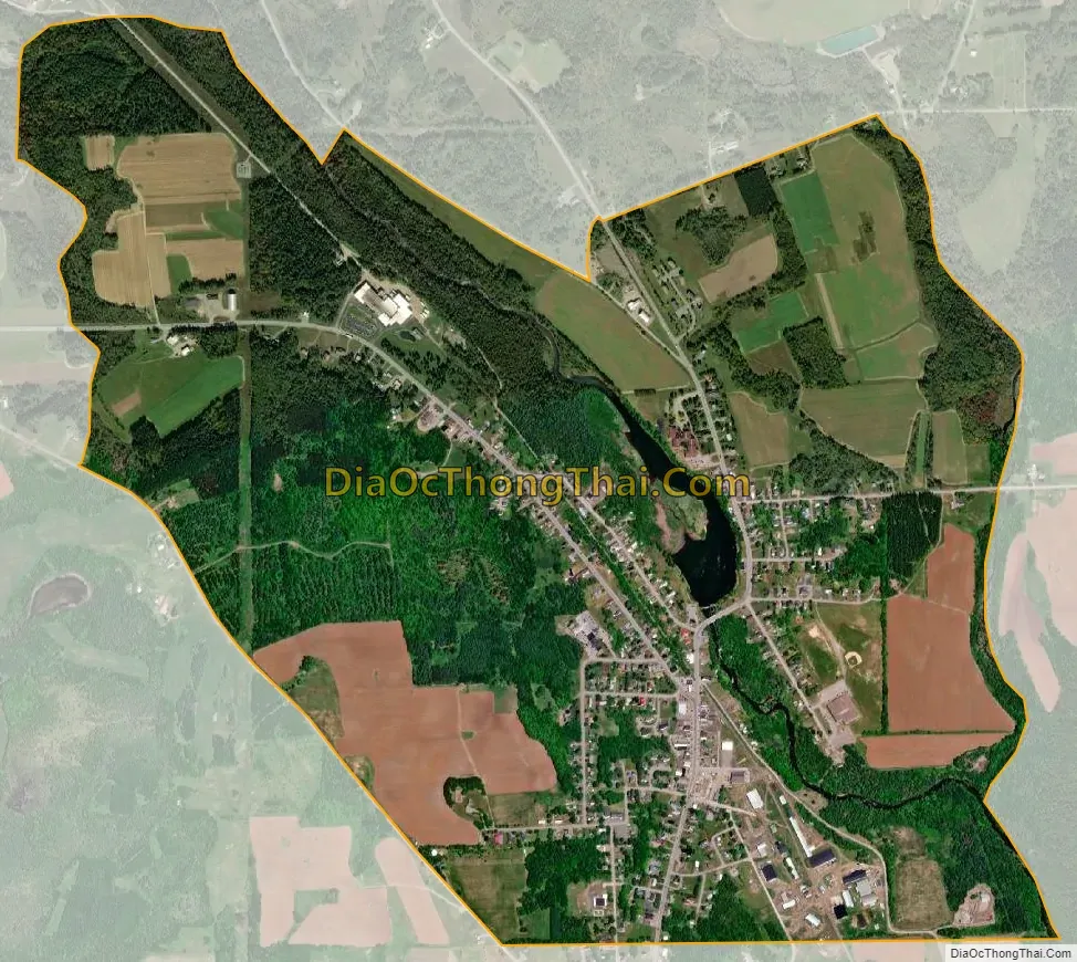
Mars Hill city Satellite Map
Geography
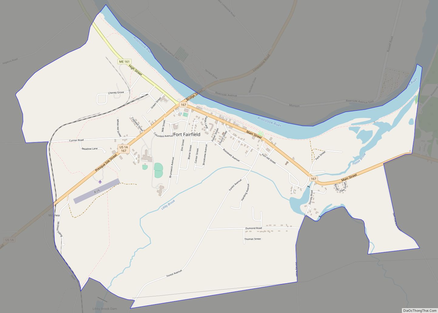
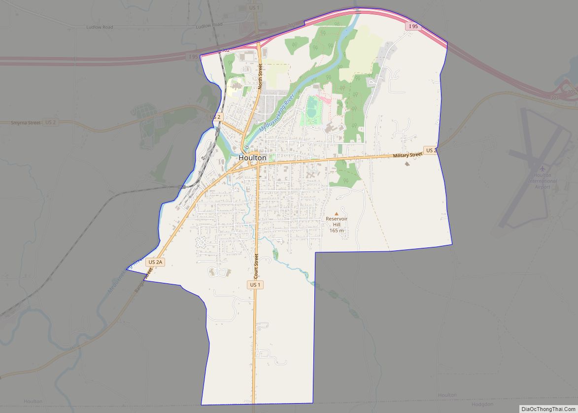
The Mars Hill CDP is located near the southwestern corner of the town of Mars Hill, bordered by the town and CDP of Blaine to the south. U.S. Route 1 runs through the center of the CDP, leading northwest 14 miles (23 km) to Presque Isle and south 27 miles (43 km) to Houlton. U.S. Route 1A meets Route 1 at the center of the CDP and leads north 19 miles (31 km) to Fort Fairfield, eventually rejoining Route 1 in Van Buren.
According to the United States Census Bureau, the Mars Hill CDP has a total area of 2.2 square miles (5.6 km), of which 2.1 square miles (5.5 km) is land and 0.039 square miles (0.1 km), or 1.48%, is water.
See also
Map of Maine State and its subdivision: Map of other states:- Alabama
- Alaska
- Arizona
- Arkansas
- California
- Colorado
- Connecticut
- Delaware
- District of Columbia
- Florida
- Georgia
- Hawaii
- Idaho
- Illinois
- Indiana
- Iowa
- Kansas
- Kentucky
- Louisiana
- Maine
- Maryland
- Massachusetts
- Michigan
- Minnesota
- Mississippi
- Missouri
- Montana
- Nebraska
- Nevada
- New Hampshire
- New Jersey
- New Mexico
- New York
- North Carolina
- North Dakota
- Ohio
- Oklahoma
- Oregon
- Pennsylvania
- Rhode Island
- South Carolina
- South Dakota
- Tennessee
- Texas
- Utah
- Vermont
- Virginia
- Washington
- West Virginia
- Wisconsin
- Wyoming