Woodland is a census-designated place (CDP) in the town of Baileyville, Washington County, Maine, United States. The population was 952 at the 2010 census.
“Woodland” was originally the name of the entire town of Baileyville. However, because the state of Maine has a law stating that no two towns may share the same name, Woodland of Aroostook County and Woodland of Washington County found themselves before the Maine Supreme Judicial Court in the late 1990s. Because it was founded as a township first, the Woodland of Aroostook County was allowed to keep its name, and Woodland of Washington County was ordered by the court to choose a new name: “Baileyville”.
| Name: | Woodland CDP |
|---|---|
| LSAD Code: | 57 |
| LSAD Description: | CDP (suffix) |
| State: | Maine |
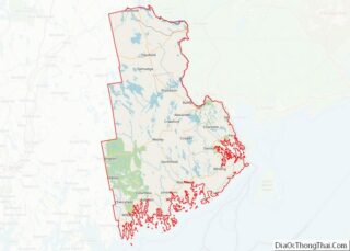
| County: | Washington County |
| Total Area: | 1.5 sq mi (4 km²) |
| Land Area: | 1.1 sq mi (3 km²) |
| Water Area: | 0.3 sq mi (0.8 km²) |
| Total Population: | 952 |
| Population Density: | 630/sq mi (250/km²) |
| FIPS code: | 2387250 |
Online Interactive Map
Click on ![]() to view map in "full screen" mode.
to view map in "full screen" mode.
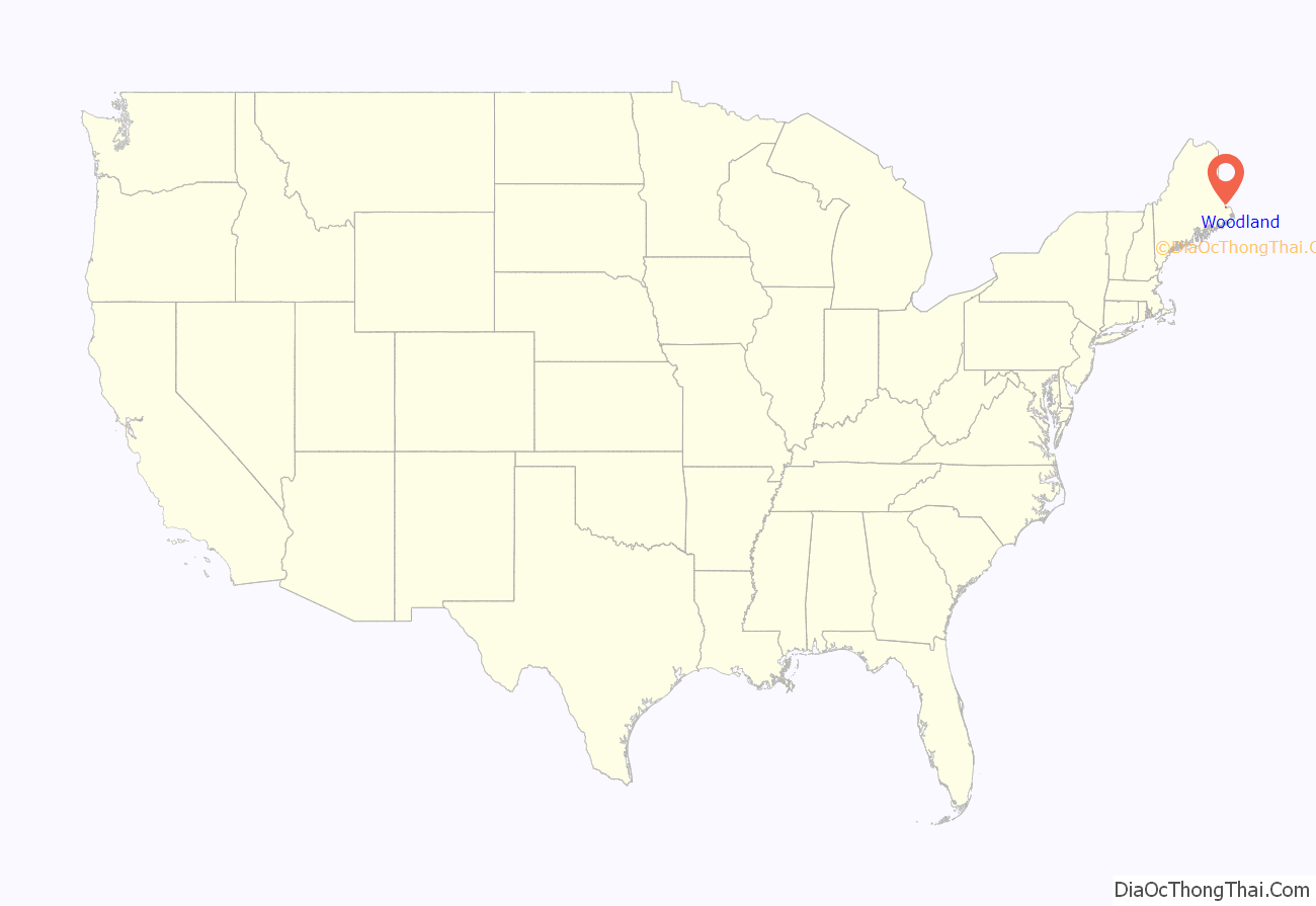
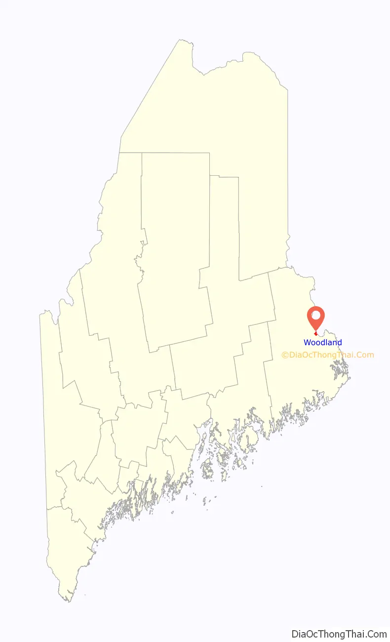
Woodland location map. Where is Woodland CDP?
History
Water powered sawmills and paper mills at Woodland used wooden logs and pulpwood floated down the Saint Croix River. These mills were connected to the national rail network via the Maine Central Railroad and under Georgia-Pacific operation originated or terminated over 6,000 railway carloads in 1973.
In 1950, the village voted to stay on Daylight saving time, so as to allow hunters an extra hour of daylight after work, as they would otherwise be hunting at night. It was known locally as “Deerlight Saving Time” and overlapped with the start of deer season, through November 1.
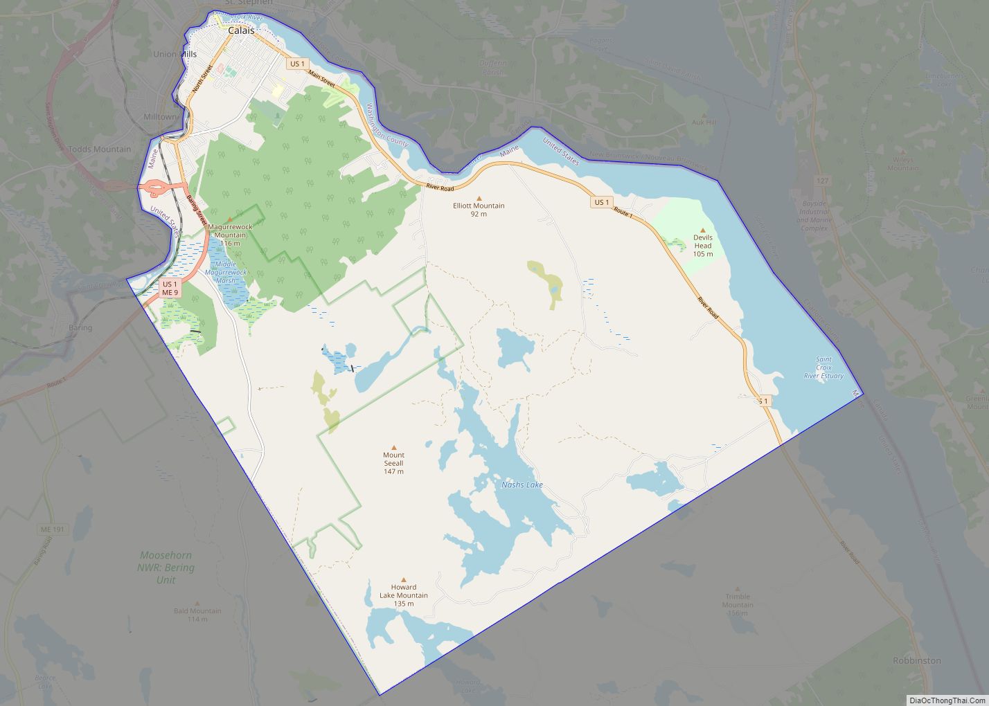
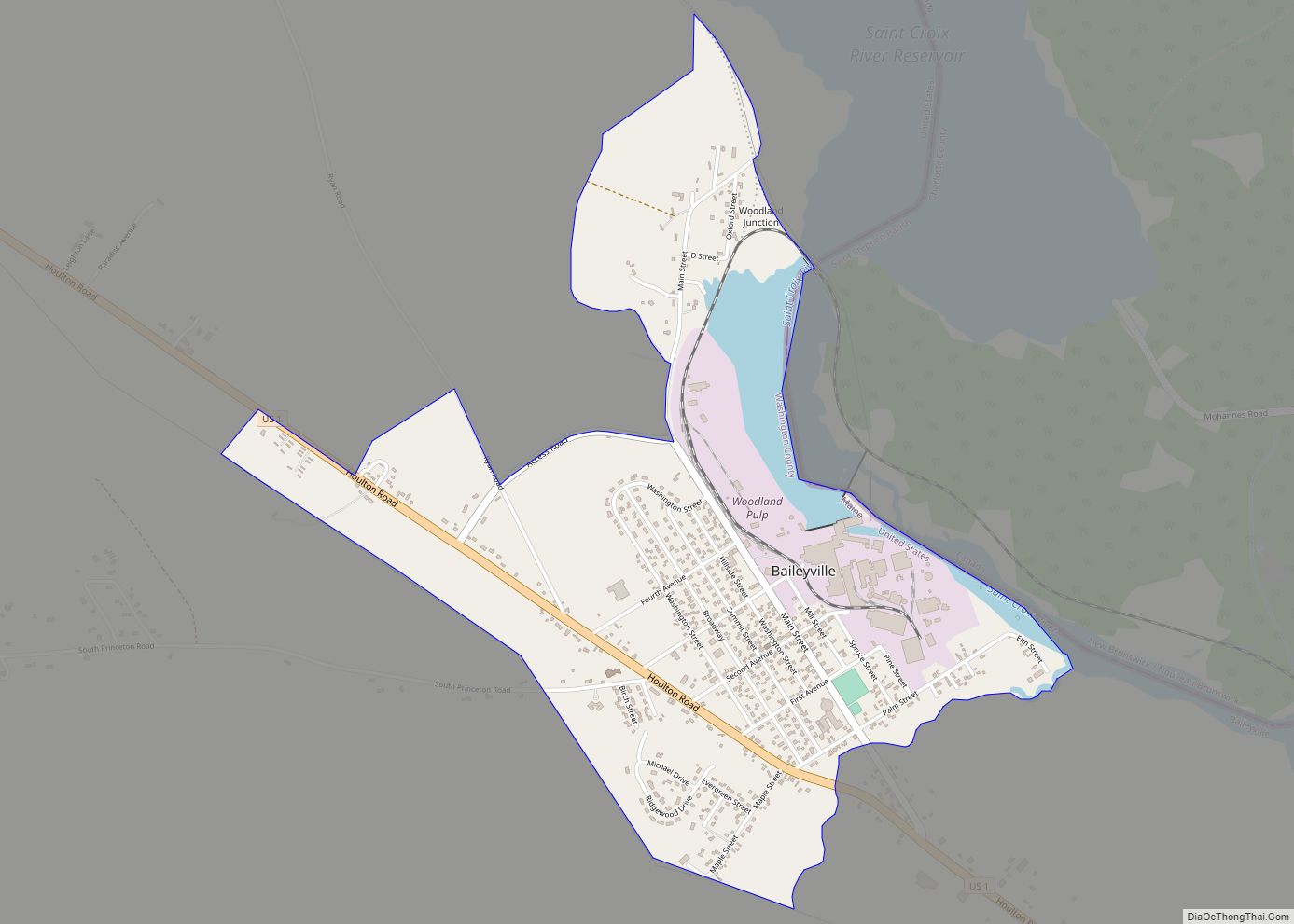
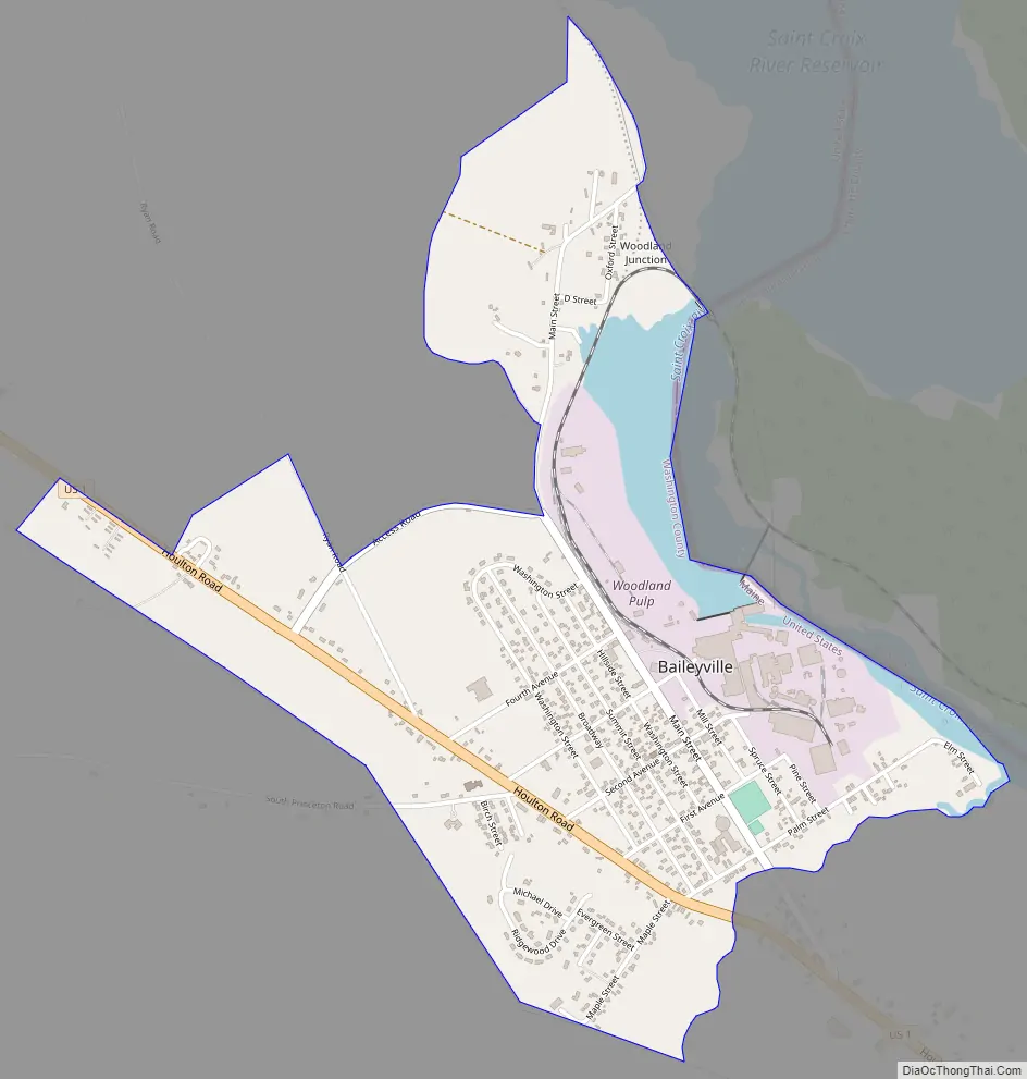
Woodland Road Map
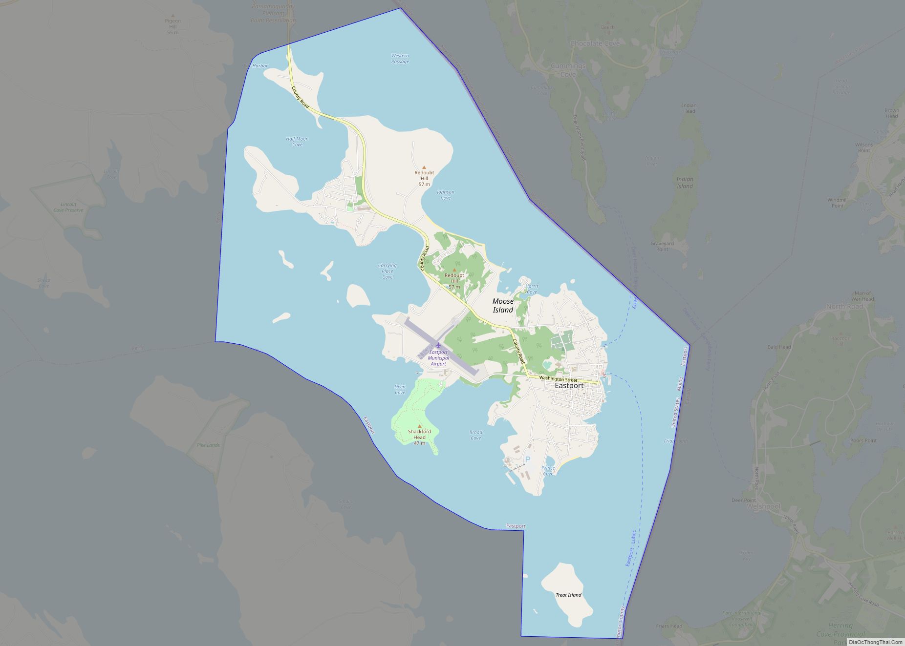
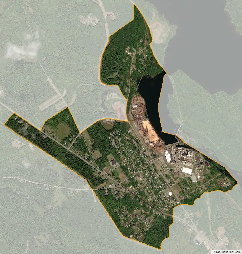
Woodland city Satellite Map
Geography
Baileyville is located at 45°9′18″N 67°24′25″W / 45.15500°N 67.40694°W / 45.15500; -67.40694 (45.155103, -67.406968).
According to the United States Census Bureau, the CDP has a total area of 1.5 square miles (3.8 km), of which 1.1 square miles (3.0 km) is land and 0.3 square miles (0.8 km), or 20.69%, is water.
See also
Map of Maine State and its subdivision: Map of other states:- Alabama
- Alaska
- Arizona
- Arkansas
- California
- Colorado
- Connecticut
- Delaware
- District of Columbia
- Florida
- Georgia
- Hawaii
- Idaho
- Illinois
- Indiana
- Iowa
- Kansas
- Kentucky
- Louisiana
- Maine
- Maryland
- Massachusetts
- Michigan
- Minnesota
- Mississippi
- Missouri
- Montana
- Nebraska
- Nevada
- New Hampshire
- New Jersey
- New Mexico
- New York
- North Carolina
- North Dakota
- Ohio
- Oklahoma
- Oregon
- Pennsylvania
- Rhode Island
- South Carolina
- South Dakota
- Tennessee
- Texas
- Utah
- Vermont
- Virginia
- Washington
- West Virginia
- Wisconsin
- Wyoming