Philadelphia is a city in and the county seat of Neshoba County, Mississippi, United States. The population was 7,118 at the 2020 census.
| Name: | Philadelphia city |
|---|---|
| LSAD Code: | 25 |
| LSAD Description: | city (suffix) |
| State: | Mississippi |
| County: | Neshoba County |
| Elevation: | 423 ft (129 m) |
| Total Area: | 12.22 sq mi (31.66 km²) |
| Land Area: | 12.21 sq mi (31.63 km²) |
| Water Area: | 0.01 sq mi (0.04 km²) |
| Total Population: | 7,118 |
| Population Density: | 582.92/sq mi (225.07/km²) |
| ZIP code: | 39350 |
| Area code: | 601 |
| FIPS code: | 2856960 |
| GNISfeature ID: | 0675674 |
Online Interactive Map
Click on ![]() to view map in "full screen" mode.
to view map in "full screen" mode.
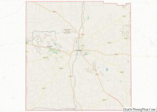
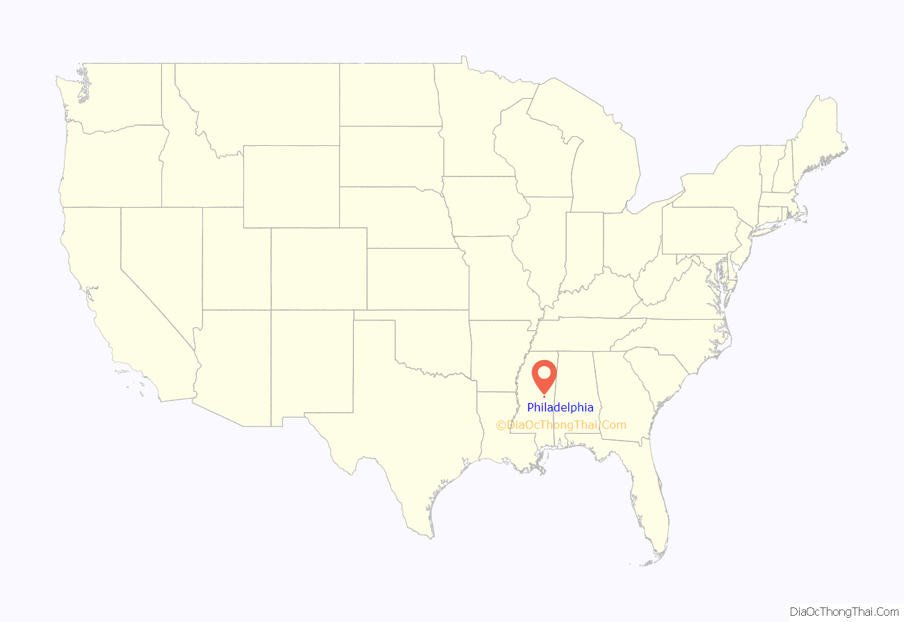
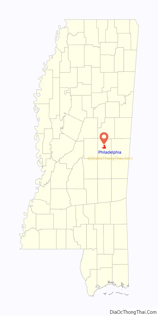
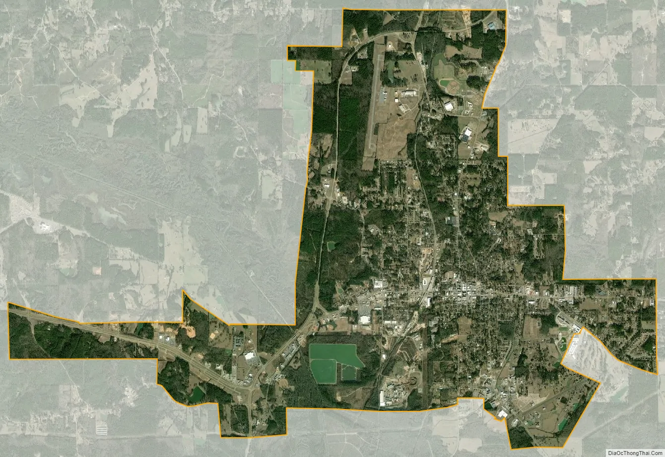
Philadelphia location map. Where is Philadelphia city?
History
Philadelphia is incorporated as a municipality; it was given its current name, after Philadelphia, Pennsylvania, in 1903, two years before the railroad brought new opportunities and prosperity to the town. The history of the town and its influences- social, political and economic- can be seen in the many points of interest within and beyond the city limits. These range from the large ceremonial Indian mound and cave at Nanih Waiya, built approximately 1700 years ago and sacred to the Choctaw; to the still thriving Williams Brothers Store, a true old-fashioned general store founded in 1907 and featured in National Geographic in 1937 as a source of anything from “horse collars to straw hats.”
Murders of Chaney, Goodman, and Schwerner
In the mid-20th century, Mississippi was a battleground of the civil rights movement as, like other states of the South, it had long disfranchised blacks and subjected them to racial segregation and Jim Crow laws. Philadelphia in June 1964 was the scene of the murders of civil rights workers James Chaney, a 21-year-old black man from Meridian, Mississippi; Andrew Goodman, a 20-year-old Jewish anthropology student from New York City; and Michael Schwerner, a 24-year-old Jewish CORE organizer and former social worker, also from New York. Their deaths demonstrated the risks that civil rights workers took to secure the constitutional rights of African Americans.
Ku Klux Klan members (including Cecil Price, a deputy sheriff of Neshoba County) released the three young men from jail, took them to an isolated spot, and killed them, then buried them in an earthen dam. It was some time after they disappeared before the bodies were discovered, as a result of an FBI investigation and national media attention. The national outrage over their deaths helped procure support for Congressional passage of the Civil Rights Act of 1964 and the Voting Rights Act of 1965. The murders and related conspiracy gave rise to the “Mississippi Burning” trial, United States v. Price.
Reagan’s visit
On August 3, 1980, Ronald Reagan gave his first post-convention speech at the Neshoba County Fair after being officially chosen as the Republican nominee for President of the United States. He said: “I believe in states’ rights … I believe we have distorted the balance of our government today by giving powers that were never intended to be given in the Constitution to that federal establishment.” He went on to promise to “restore to states and local governments the power that properly belongs to them”.
Dupree’s record breaker
Marcus Dupree played high school football for the Philadelphia High School Tornadoes from 1978 to 1981. He was an outstanding athlete who was widely recognized for his achievements. Dupree scored 87 touchdowns total during his playing time in high school, breaking the record set by Herschel Walker by one. In 1981, Marcus’s final High School football game was played at Warriors Stadium of the tribal high school at the Choctaw Indian Reservation. The author Willie Morris described the audience at Dupree’s final high school game as “the most distinctive crowd I had ever seen … four thousand or so people seemed almost an equal of mix of whites, blacks, and Indians … ”
First black mayor
In May 2009, Philadelphia elected its first black mayor, James A. Young, a 53-year-old Pentecostal preacher and a former county supervisor. He defeated Rayburn Waddell, a white, three-term incumbent, by 46 votes in the Democratic primary (there was no Republican challenger). Jim Prince, publisher of the local The Neshoba Democrat newspaper said, “Philadelphia will always be connected to what happened here in 1964, but the fact that Philadelphia, Mississippi, with its notorious past, could elect a black man as mayor, it might be time to quit picking on Philadelphia, Mississippi.” Young’s campaign staff credited Barack Obama’s presidential campaign for increasing registration of black and young voters in Philadelphia, many of whom voted for Young. His term began July 3, 2009.
2011 Tornado
On April 27, 2011, the town and surrounding areas were ravaged during the 2011 Super Outbreak when an EF5 tornado with winds of up to 205 MPH carved a path through town. Despite its incredible strength at the top of the Enhanced-Fujita Scale, only three people died as a result. It would be one of four EF5 tornadoes to strike on that day, and one of two in the state of Mississippi (the town of Smithville further north was decimated a short while later). It also became the first F5/EF5 tornado to strike in Mississippi in 45 years.
Past Mayors
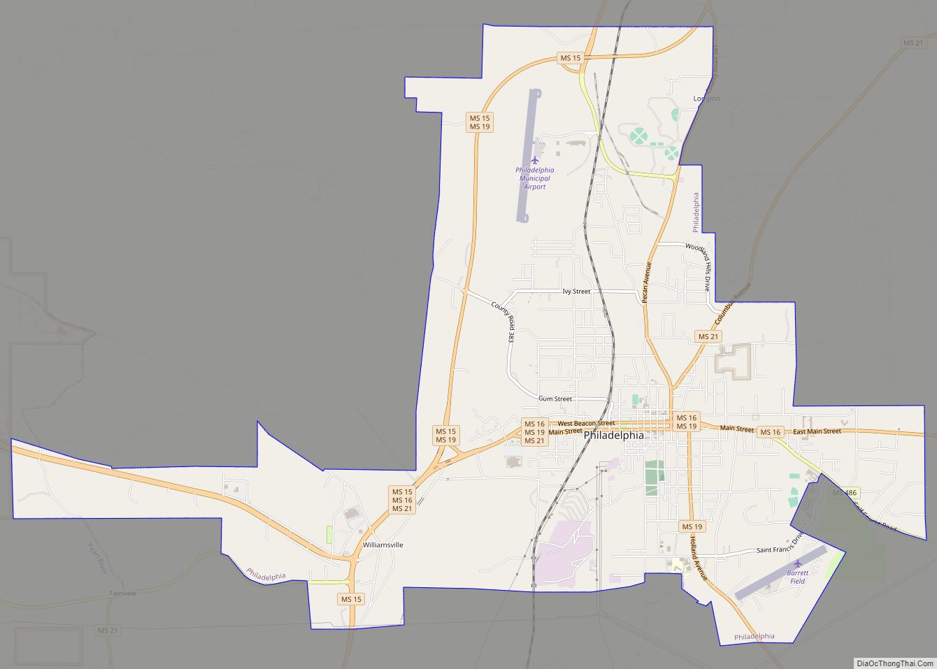
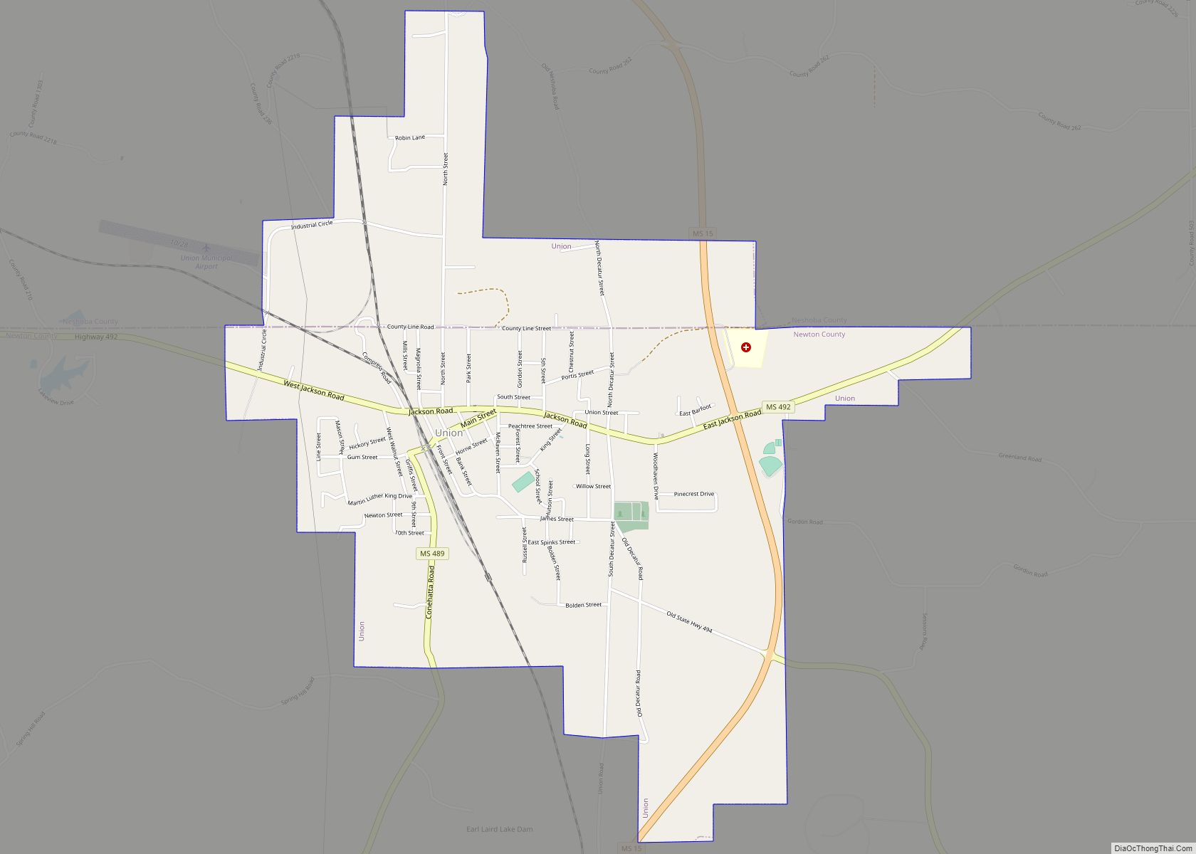
Philadelphia Road Map
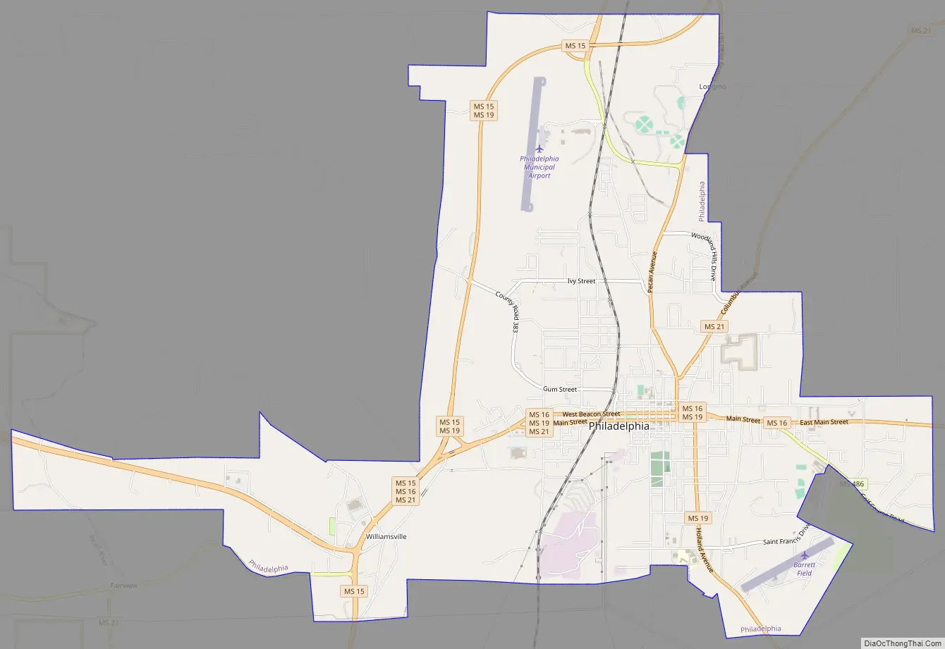
Philadelphia city Satellite Map
Geography
Philadelphia is located at 32°46′27″N 89°6′46″W / 32.77417°N 89.11278°W / 32.77417; -89.11278 (32.774070, -89.112891).
According to the United States Census Bureau, the city has a total area of 10.6 square miles (27 km), of which 10.6 square miles (27 km) are land and 0.04-square-mile (0.10 km) (0.19%) is water.
See also
Map of Mississippi State and its subdivision:- Adams
- Alcorn
- Amite
- Attala
- Benton
- Bolivar
- Calhoun
- Carroll
- Chickasaw
- Choctaw
- Claiborne
- Clarke
- Clay
- Coahoma
- Copiah
- Covington
- Desoto
- Forrest
- Franklin
- George
- Greene
- Grenada
- Hancock
- Harrison
- Hinds
- Holmes
- Humphreys
- Issaquena
- Itawamba
- Jackson
- Jasper
- Jefferson
- Jefferson Davis
- Jones
- Kemper
- Lafayette
- Lamar
- Lauderdale
- Lawrence
- Leake
- Lee
- Leflore
- Lincoln
- Lowndes
- Madison
- Marion
- Marshall
- Monroe
- Montgomery
- Neshoba
- Newton
- Noxubee
- Oktibbeha
- Panola
- Pearl River
- Perry
- Pike
- Pontotoc
- Prentiss
- Quitman
- Rankin
- Scott
- Sharkey
- Simpson
- Smith
- Stone
- Sunflower
- Tallahatchie
- Tate
- Tippah
- Tishomingo
- Tunica
- Union
- Walthall
- Warren
- Washington
- Wayne
- Webster
- Wilkinson
- Winston
- Yalobusha
- Yazoo
- Alabama
- Alaska
- Arizona
- Arkansas
- California
- Colorado
- Connecticut
- Delaware
- District of Columbia
- Florida
- Georgia
- Hawaii
- Idaho
- Illinois
- Indiana
- Iowa
- Kansas
- Kentucky
- Louisiana
- Maine
- Maryland
- Massachusetts
- Michigan
- Minnesota
- Mississippi
- Missouri
- Montana
- Nebraska
- Nevada
- New Hampshire
- New Jersey
- New Mexico
- New York
- North Carolina
- North Dakota
- Ohio
- Oklahoma
- Oregon
- Pennsylvania
- Rhode Island
- South Carolina
- South Dakota
- Tennessee
- Texas
- Utah
- Vermont
- Virginia
- Washington
- West Virginia
- Wisconsin
- Wyoming