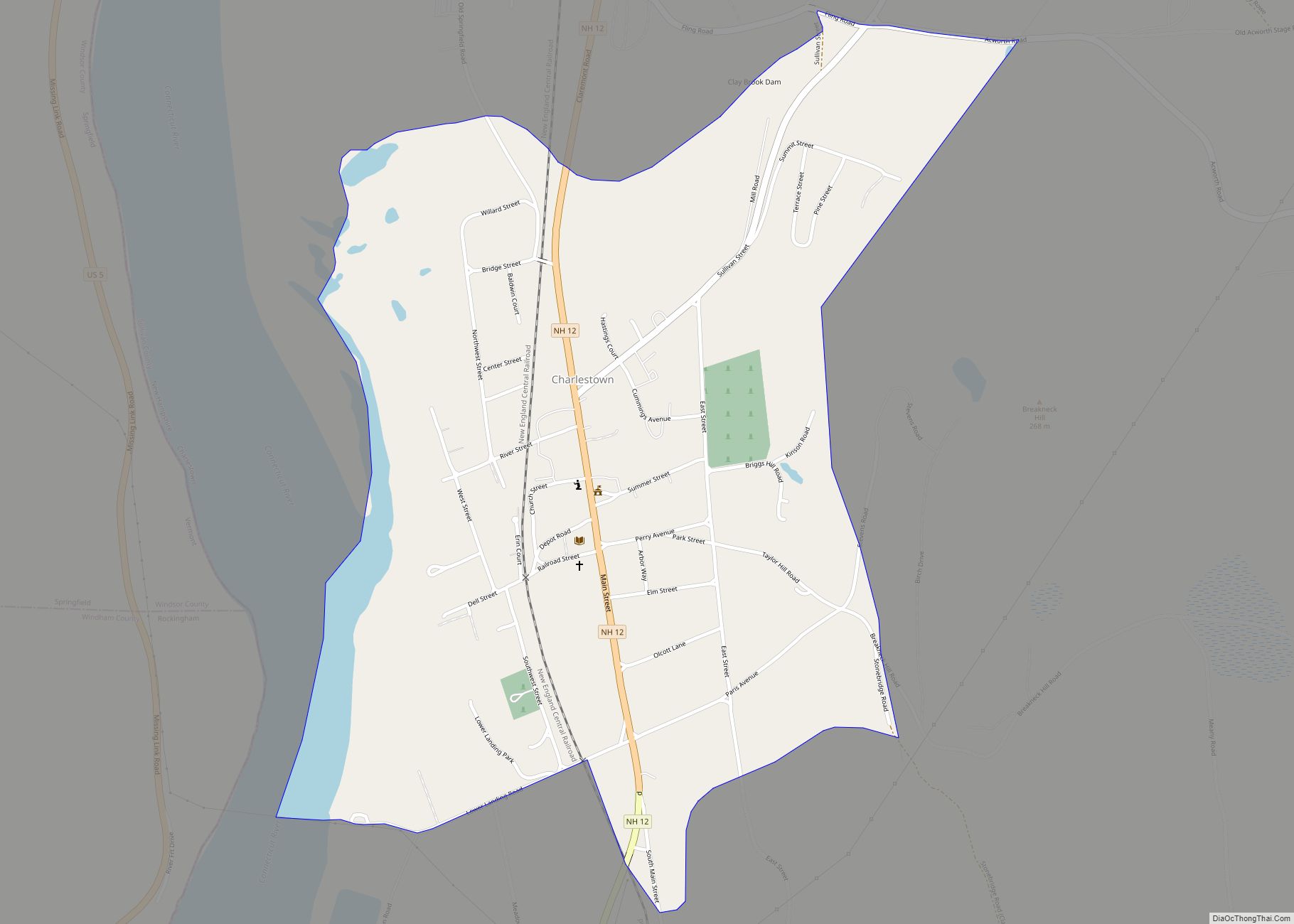
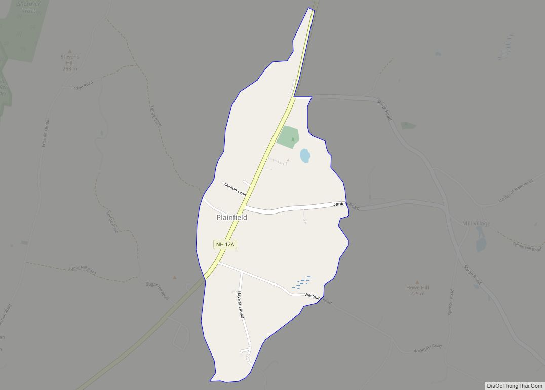
Charlestown is a census-designated place (CDP) and the main village in the town of Charlestown, Sullivan County, New Hampshire, United States. The population of the CDP was 1,078 at the 2020 census, out of 4,806 in the entire town.
| Name: | Charlestown CDP |
|---|---|
| LSAD Code: | 57 |
| LSAD Description: | CDP (suffix) |
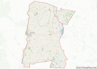
| State: | New Hampshire |
| County: | Sullivan County |
| Elevation: | 374 ft (114 m) |
| Total Area: | 1.00 sq mi (2.59 km²) |
| Land Area: | 0.95 sq mi (2.47 km²) |
| Water Area: | 0.05 sq mi (0.12 km²) |
| Total Population: | 1,078 |
| Population Density: | 1,131.16/sq mi (436.83/km²) |
| ZIP code: | 03603 |
| Area code: | 603 |
| FIPS code: | 3311300 |
| GNISfeature ID: | 2378055 |
Online Interactive Map
Click on ![]() to view map in "full screen" mode.
to view map in "full screen" mode.
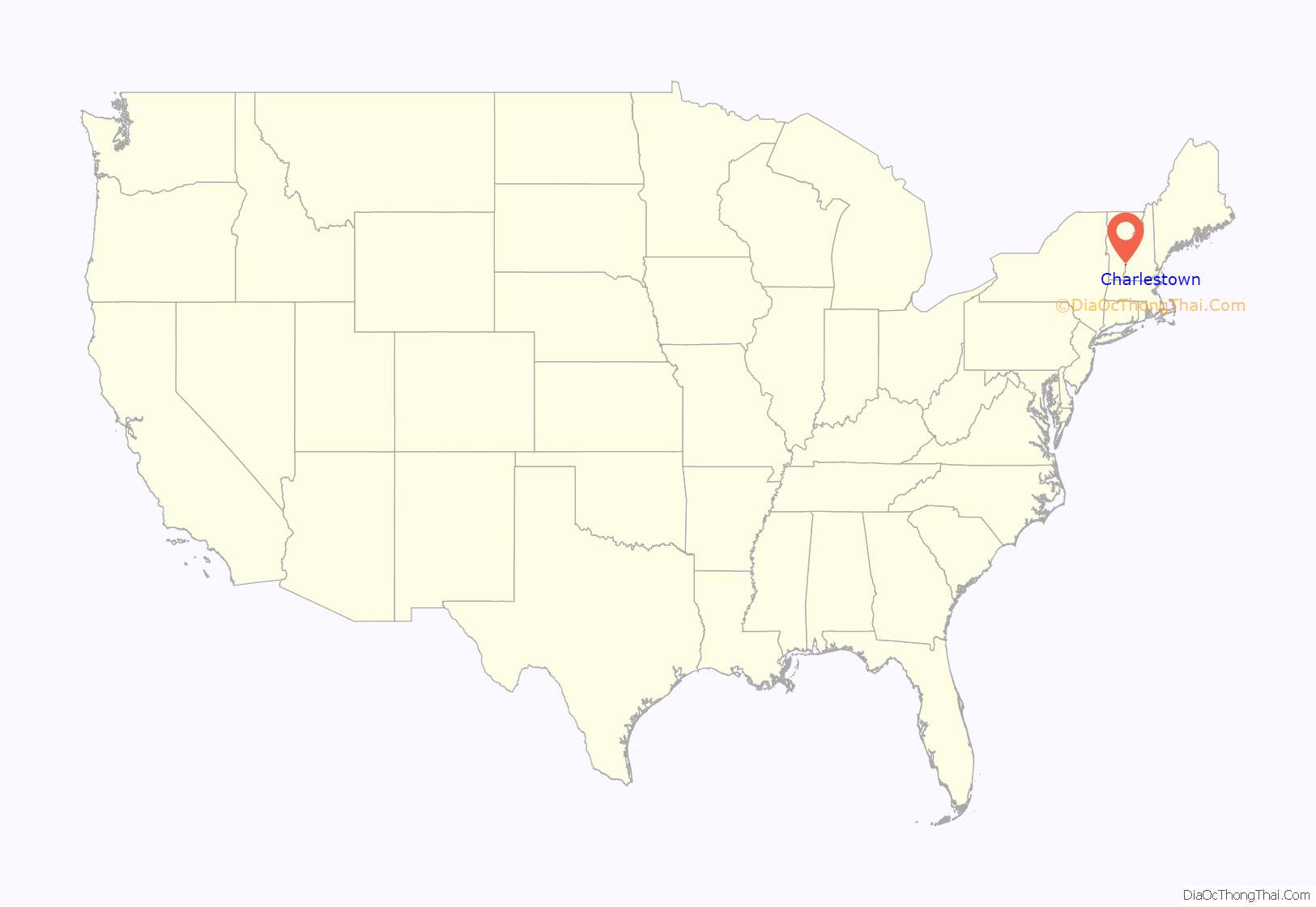
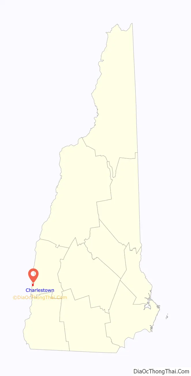
Charlestown location map. Where is Charlestown CDP?
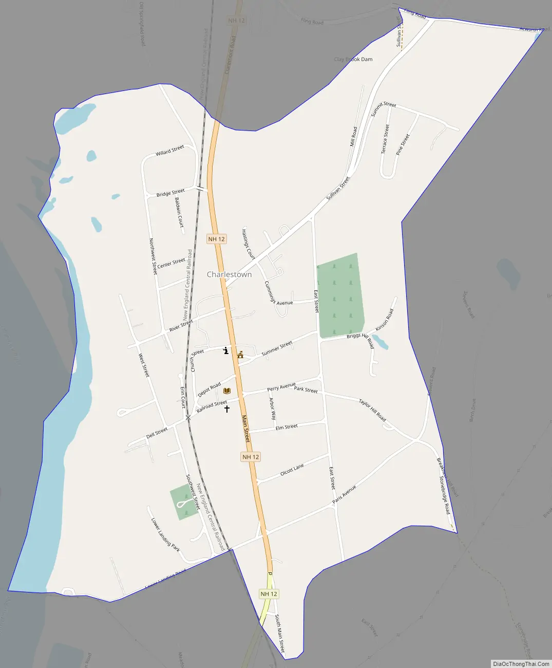
Charlestown Road Map
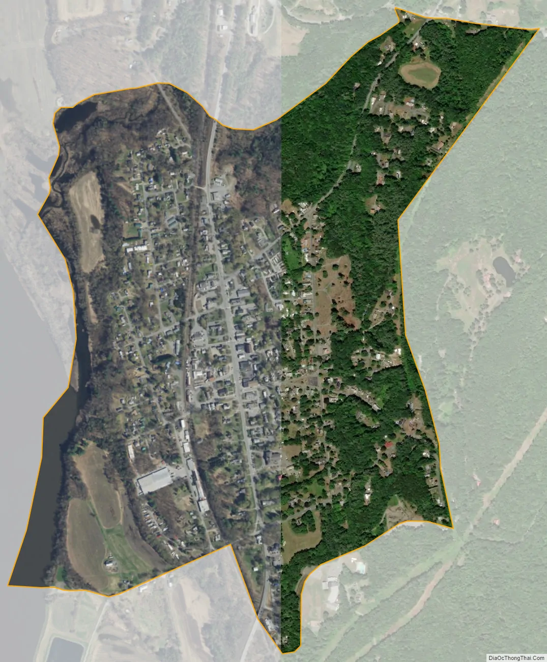
Charlestown city Satellite Map
Geography
The CDP is in the western part of Charlestown, on the east side of the Connecticut River, which forms the Vermont state line. From the river, the CDP border extends north up Clay Brook to Fling Road and Acworth Road. The border then turns south along a power line clearing that runs east of the village area, following it to Dickerson Brook and then southwest to Almar Street. The border then turns northwest up Meadow Road before continuing straight to Lower Landing Road, where it turns west and runs to the Connecticut River.
New Hampshire Route 12 is Charlestown’s Main Street, leading north 10 miles (16 km) to Claremont and south 7 miles (11 km) to North Walpole, across the Connecticut from Bellows Falls, Vermont. New Hampshire Route 11 crosses the Connecticut 1 mile (1.6 km) north of Charlestown village, providing access to Interstate 91, which leads north 30 miles (48 km) to White River Junction, Vermont, and south 34 miles (55 km) to Brattleboro, Vermont.
According to the U.S. Census Bureau, the Charlestown CDP has a total area of 1.0 square mile (2.6 km), of which 0.97 square miles (2.5 km) are land and 0.04 square miles (0.1 km), or 4.68%, are water.
See also
Map of New Hampshire State and its subdivision: Map of other states:- Alabama
- Alaska
- Arizona
- Arkansas
- California
- Colorado
- Connecticut
- Delaware
- District of Columbia
- Florida
- Georgia
- Hawaii
- Idaho
- Illinois
- Indiana
- Iowa
- Kansas
- Kentucky
- Louisiana
- Maine
- Maryland
- Massachusetts
- Michigan
- Minnesota
- Mississippi
- Missouri
- Montana
- Nebraska
- Nevada
- New Hampshire
- New Jersey
- New Mexico
- New York
- North Carolina
- North Dakota
- Ohio
- Oklahoma
- Oregon
- Pennsylvania
- Rhode Island
- South Carolina
- South Dakota
- Tennessee
- Texas
- Utah
- Vermont
- Virginia
- Washington
- West Virginia
- Wisconsin
- Wyoming