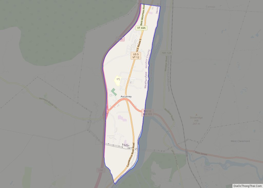
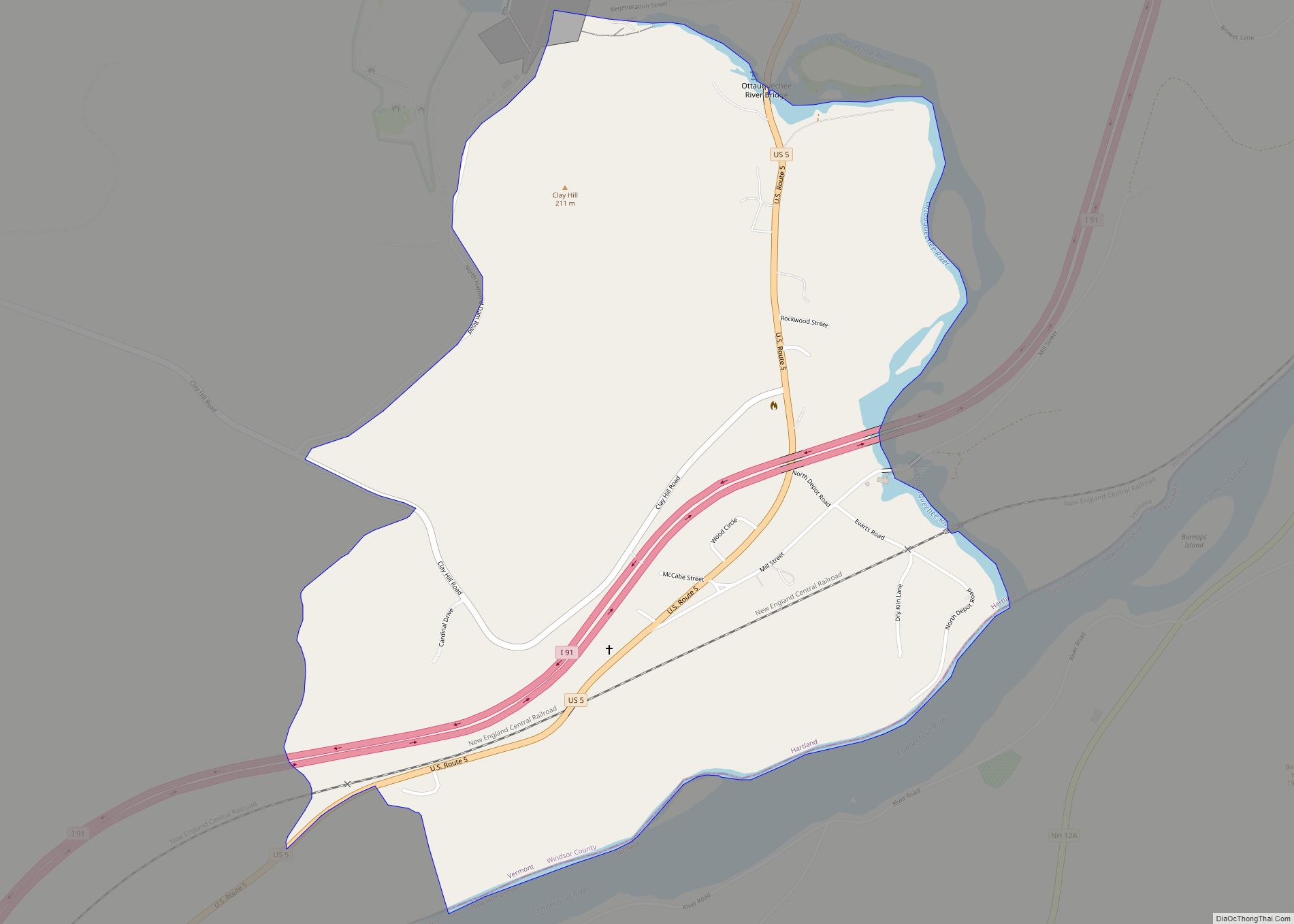
White River Junction is an unincorporated village and census-designated place (CDP) in the town of Hartford in Windsor County, Vermont, United States. The population was 2,528 at the 2020 census, up from 2,286 in 2010, making it the largest community within the town of Hartford.
The village includes the White River Junction Historic District, a historic district listed on the National Register of Historic Places in 1980 and whose boundaries increased in 2002. The historic district reflects the urban architecture of the area from the late 19th century and early 20th century. The district is bounded by the Central Vermont railroad tracks, Gates Street, and South Main Street. It includes at least 29 contributing and non-contributing buildings. Notable buildings include the Coolidge Hotel, the First National Bank building, a U.S. Post Office building, and the White River Junction Fire House, showing examples of Greek Revival, Colonial Revival, Richardsonian Romanesque, Italianate, and Romanesque architecture.
| Name: | White River Junction CDP |
|---|---|
| LSAD Code: | 57 |
| LSAD Description: | CDP (suffix) |
| State: | Vermont |
| County: | Windsor County |
| Elevation: | 361 ft (110 m) |
| Total Area: | 1.7 sq mi (4.4 km²) |
| Land Area: | 1.6 sq mi (4.3 km²) |
| Water Area: | 0.0 sq mi (0.1 km²) |
| Total Population: | 2,528 |
| Population Density: | 1,500/sq mi (570/km²) |
| ZIP code: | 05001, 05009 |
| Area code: | 802 |
| FIPS code: | 5083575 |
| GNISfeature ID: | 1460224 |
Online Interactive Map
Click on ![]() to view map in "full screen" mode.
to view map in "full screen" mode.
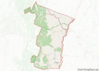
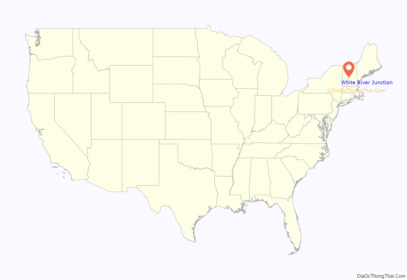
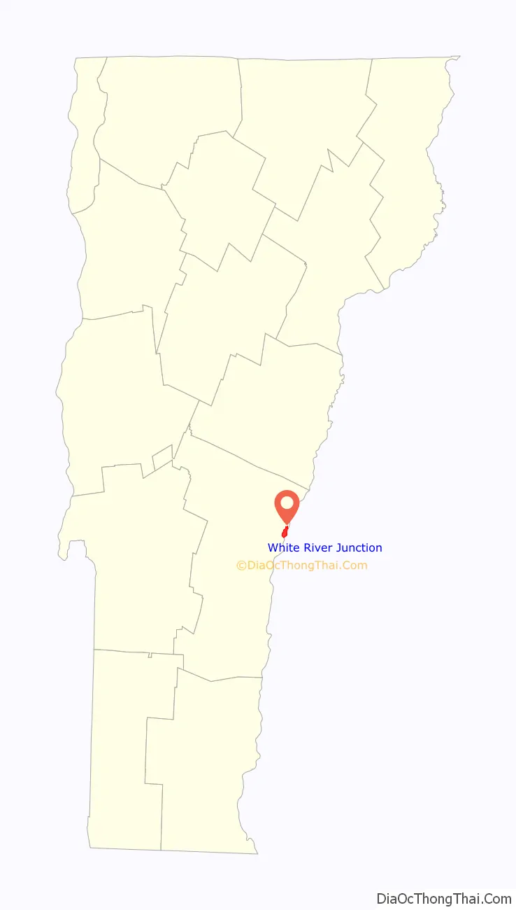
White River Junction location map. Where is White River Junction CDP?
History
The village has long had a role in transportation, primarily as a railroad junction. From the arrival of the first railroads in the late 1840s until rail diminished in importance in the 1960s due to the Interstate Highway System, White River Junction was the most important railroad community in Vermont. Its original importance was due to its location at the confluence of the White River with the Connecticut River. In 1803 Elias Lyman built a bridge across the Connecticut from the north bank of the White River to West Lebanon, New Hampshire.
The local population remained quite low until the arrival of the railroad in the 1840s. Five different railroad lines were laid through the village site between 1847 and 1863 (the Vermont Central Railway and Connecticut River Railroad in 1847, the Connecticut and Passumpsic Rivers Railroad in 1848, the Northern New Hampshire Railroad in 1849, and the Woodstock Railroad in 1863), creating an eight-track crossing that was served by 50 passenger trains daily. In 1849, the village’s first railroad depot was built, and local farmer Samuel Nutt arranged to buy and dismantle a hotel in Enfield, New Hampshire, and move it to his farm on the other side of the railroad tracks from the depot. His hotel, named the Junction House, was the first of three hotels to occupy the site, which now is home to the Coolidge Hotel, built in 1924.
White River Junction hosted the annual Vermont State Fair from the mid-19th century until the mid-20th century. A special rail spur carried visitors uphill from the station to the fairgrounds.
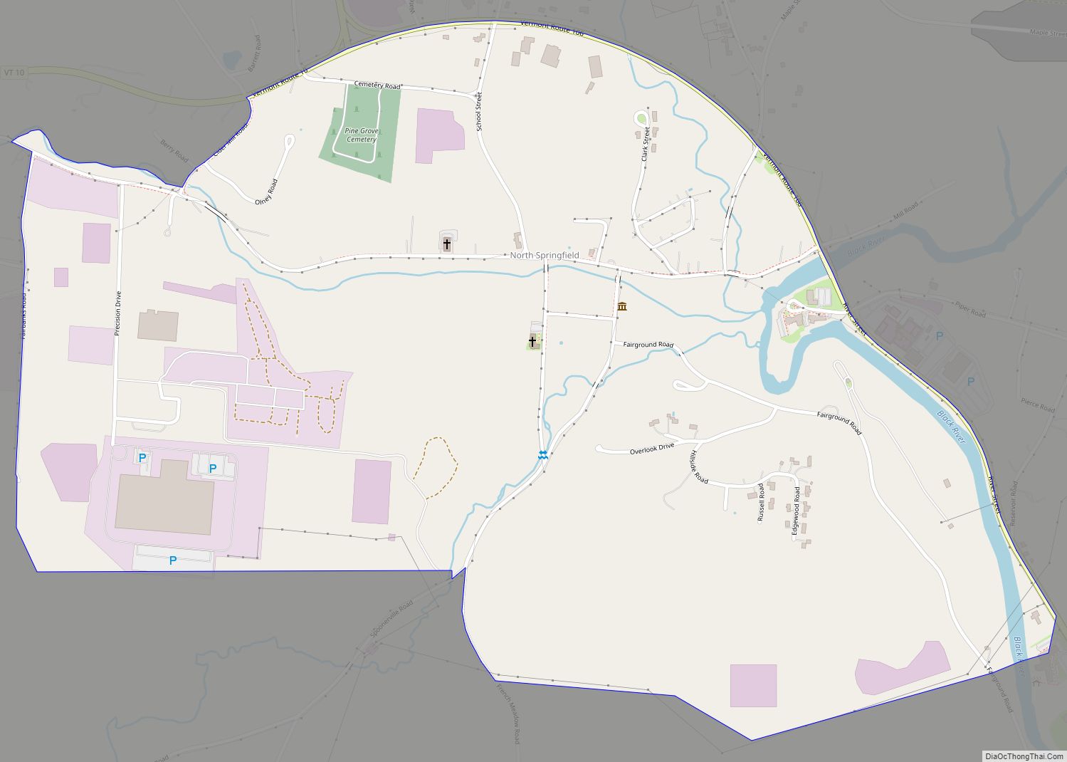
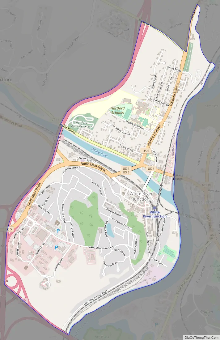
White River Junction Road Map
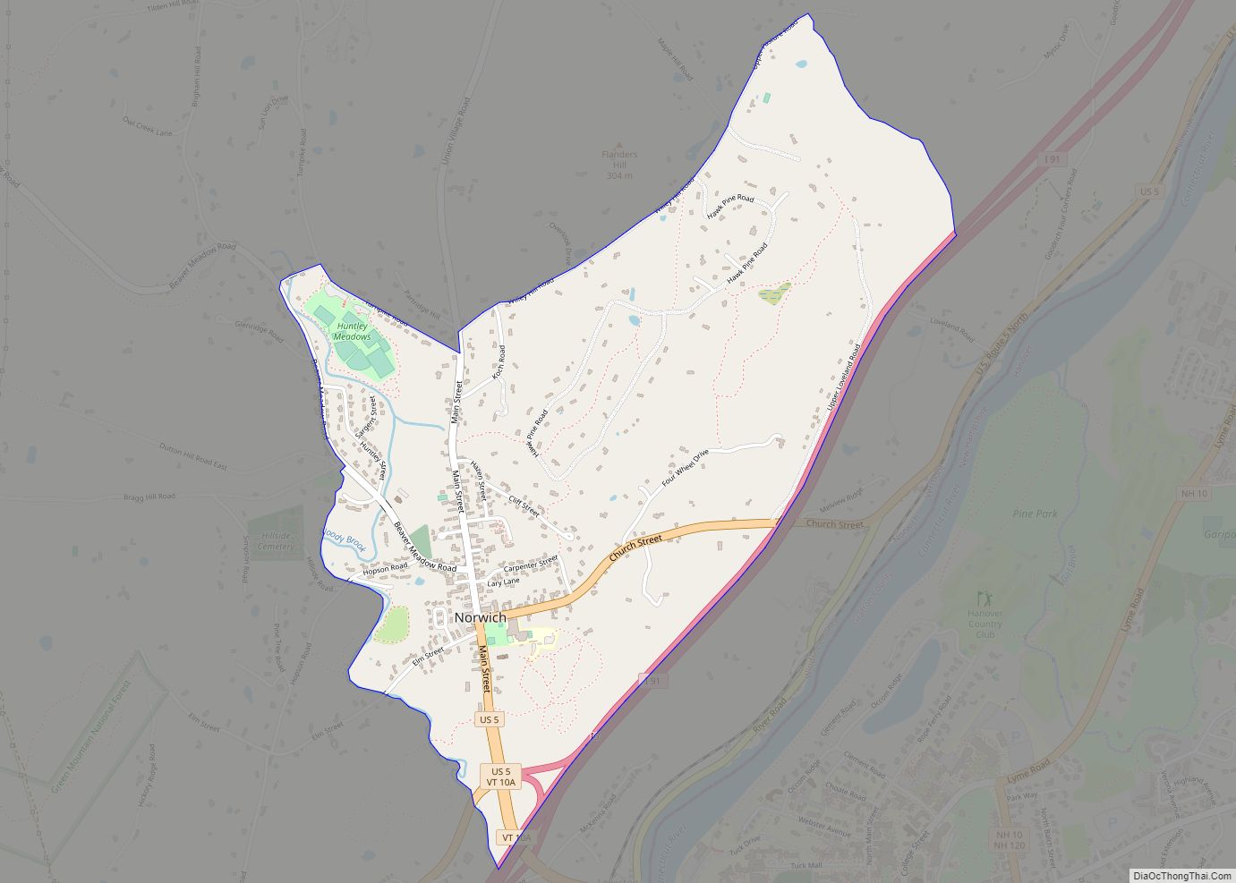
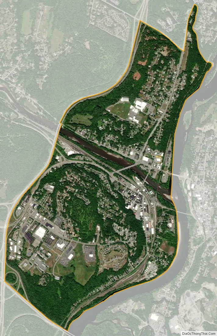
White River Junction city Satellite Map
Geography
White River Junction is located at 43°38′56″N 72°19′11″W / 43.64888°N 72.319588°W / 43.64888; -72.319588 (43.64888, -72.319588).
According to the United States Census Bureau, the village has a total area of 1.7 square miles (4.4 km), of which 1.6 square miles (4.3 km) is land and 0.1 square miles (0.1 km) (2.94%) is water.
It takes its name from the White River, which joins with the Connecticut River there.
The village is only a five-minute drive from Hanover, New Hampshire, which hosts Dartmouth College and nearly equidistant from major cities and towns such as Rutland, Montpelier, St. Johnsbury, Brattleboro, Keene, and Concord. All are about a one-hour drive from the village.
See also
Map of Vermont State and its subdivision: Map of other states:- Alabama
- Alaska
- Arizona
- Arkansas
- California
- Colorado
- Connecticut
- Delaware
- District of Columbia
- Florida
- Georgia
- Hawaii
- Idaho
- Illinois
- Indiana
- Iowa
- Kansas
- Kentucky
- Louisiana
- Maine
- Maryland
- Massachusetts
- Michigan
- Minnesota
- Mississippi
- Missouri
- Montana
- Nebraska
- Nevada
- New Hampshire
- New Jersey
- New Mexico
- New York
- North Carolina
- North Dakota
- Ohio
- Oklahoma
- Oregon
- Pennsylvania
- Rhode Island
- South Carolina
- South Dakota
- Tennessee
- Texas
- Utah
- Vermont
- Virginia
- Washington
- West Virginia
- Wisconsin
- Wyoming