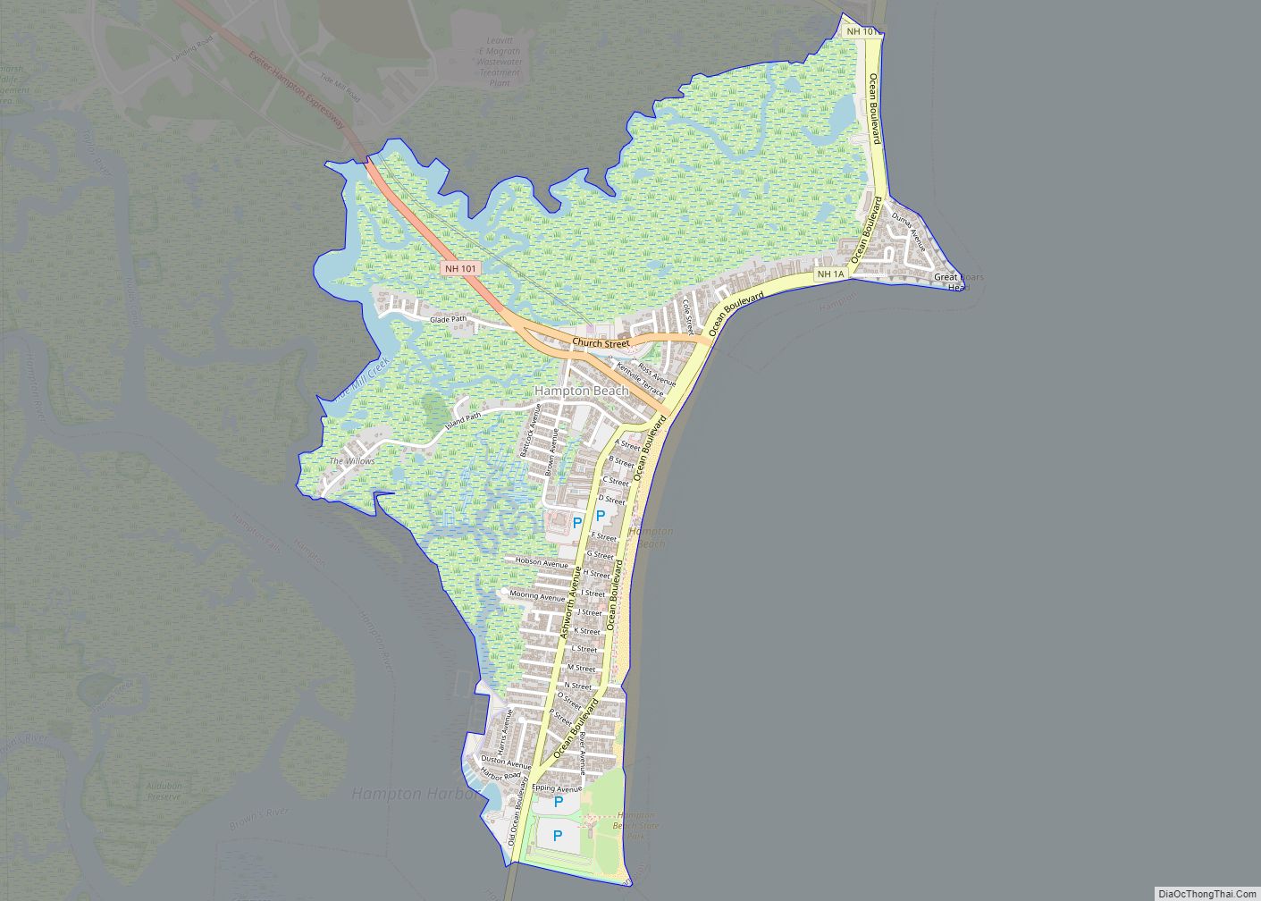
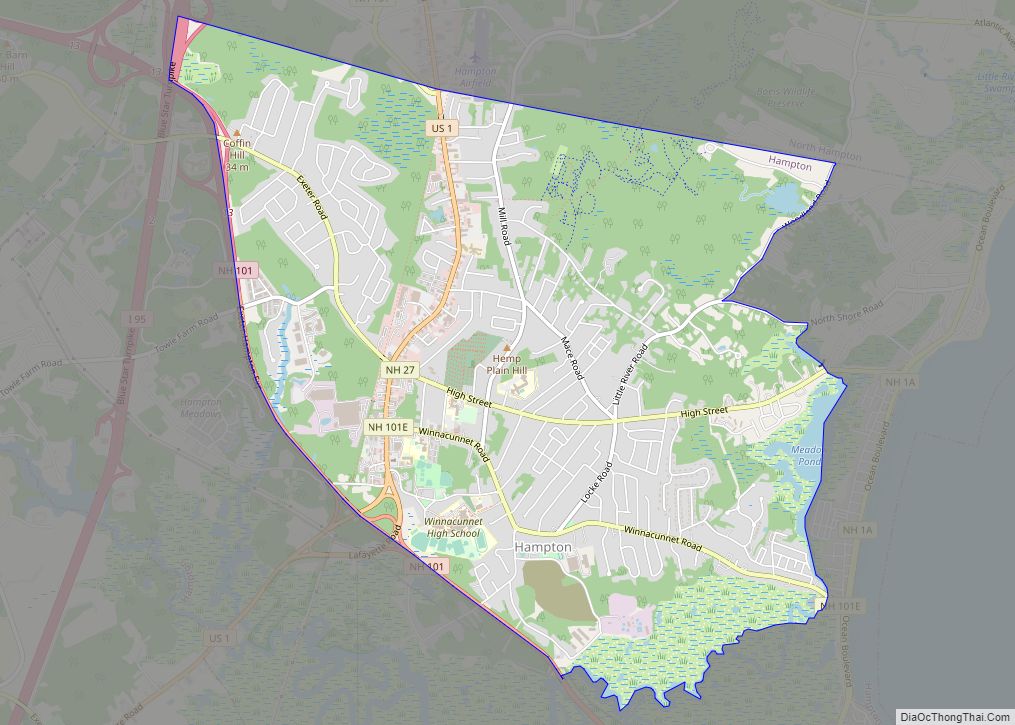
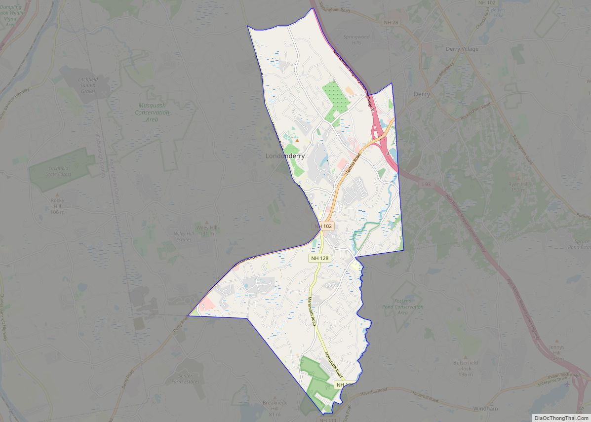
Exeter is a census-designated place (CDP) and the main village in the town of Exeter, Rockingham County, New Hampshire, United States. The population of the CDP was 10,109 at the 2020 census, out of 16,049 in the entire town.
| Name: | Exeter CDP |
|---|---|
| LSAD Code: | 57 |
| LSAD Description: | CDP (suffix) |
| State: | New Hampshire |
| County: | Rockingham County |
| Elevation: | 20 ft (6 m) |
| Total Area: | 4.65 sq mi (12.03 km²) |
| Land Area: | 4.50 sq mi (11.65 km²) |
| Water Area: | 0.15 sq mi (0.39 km²) |
| Total Population: | 10,109 |
| Population Density: | 2,248.44/sq mi (868.08/km²) |
| ZIP code: | 03833 |
| Area code: | 603 |
| FIPS code: | 3325300 |
| GNISfeature ID: | 2378063 |
Online Interactive Map
Click on ![]() to view map in "full screen" mode.
to view map in "full screen" mode.
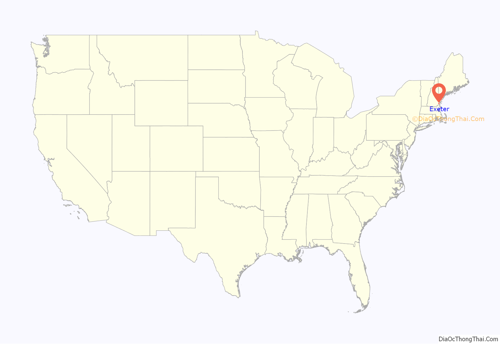
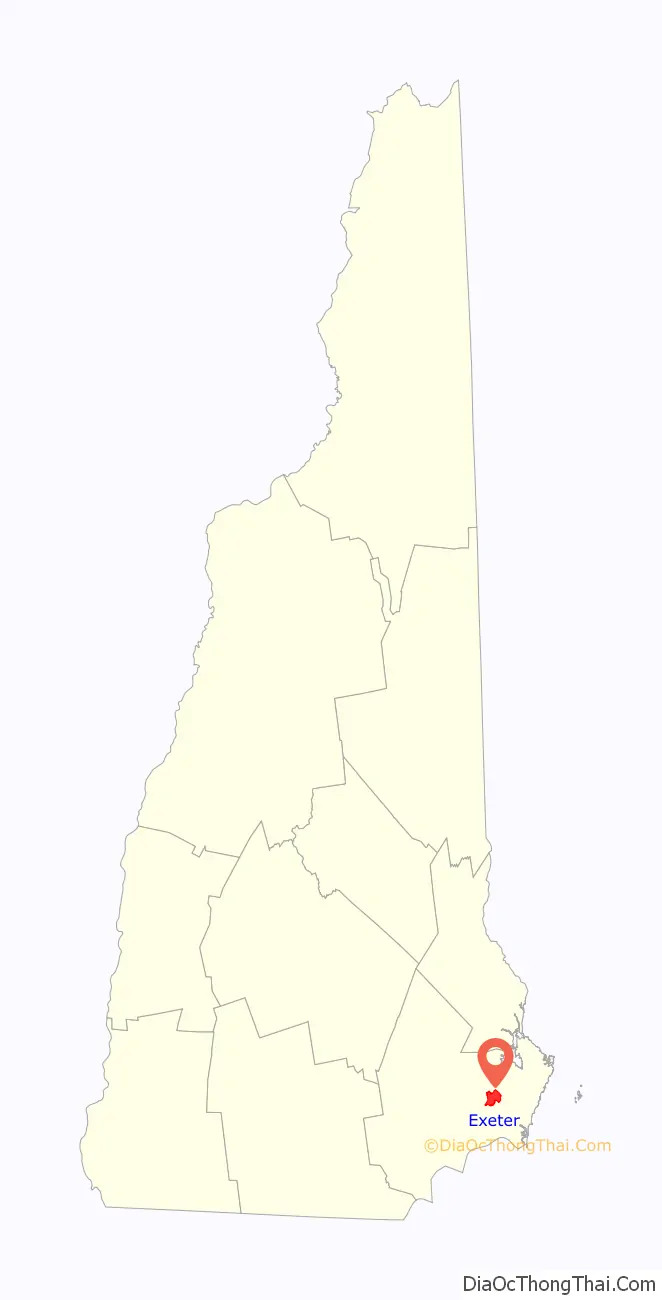
Exeter location map. Where is Exeter CDP?
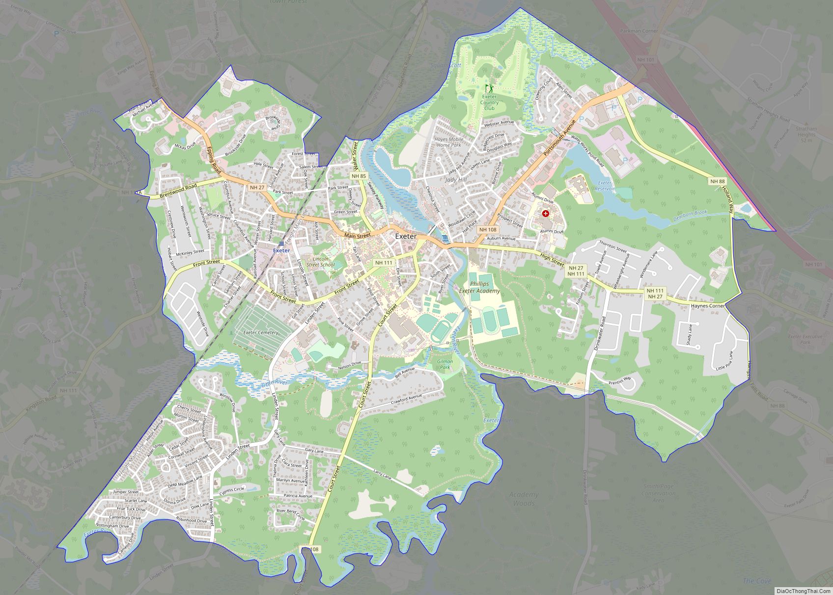
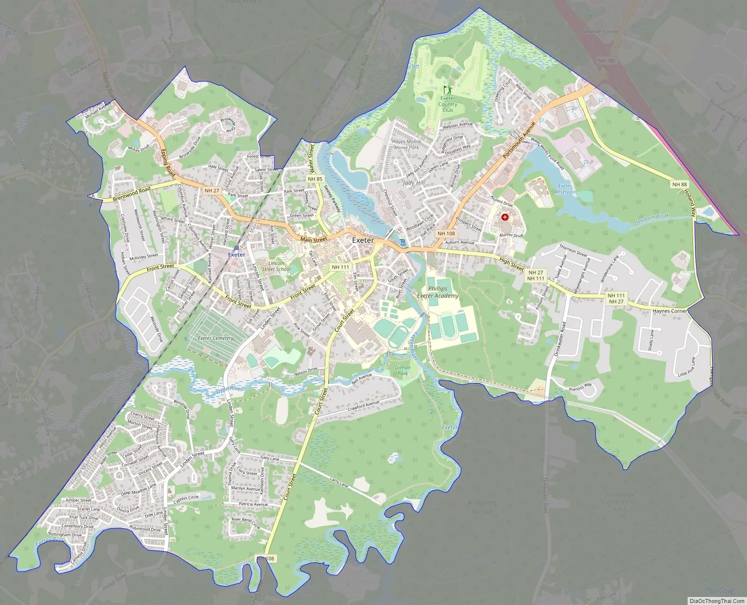
Exeter Road Map
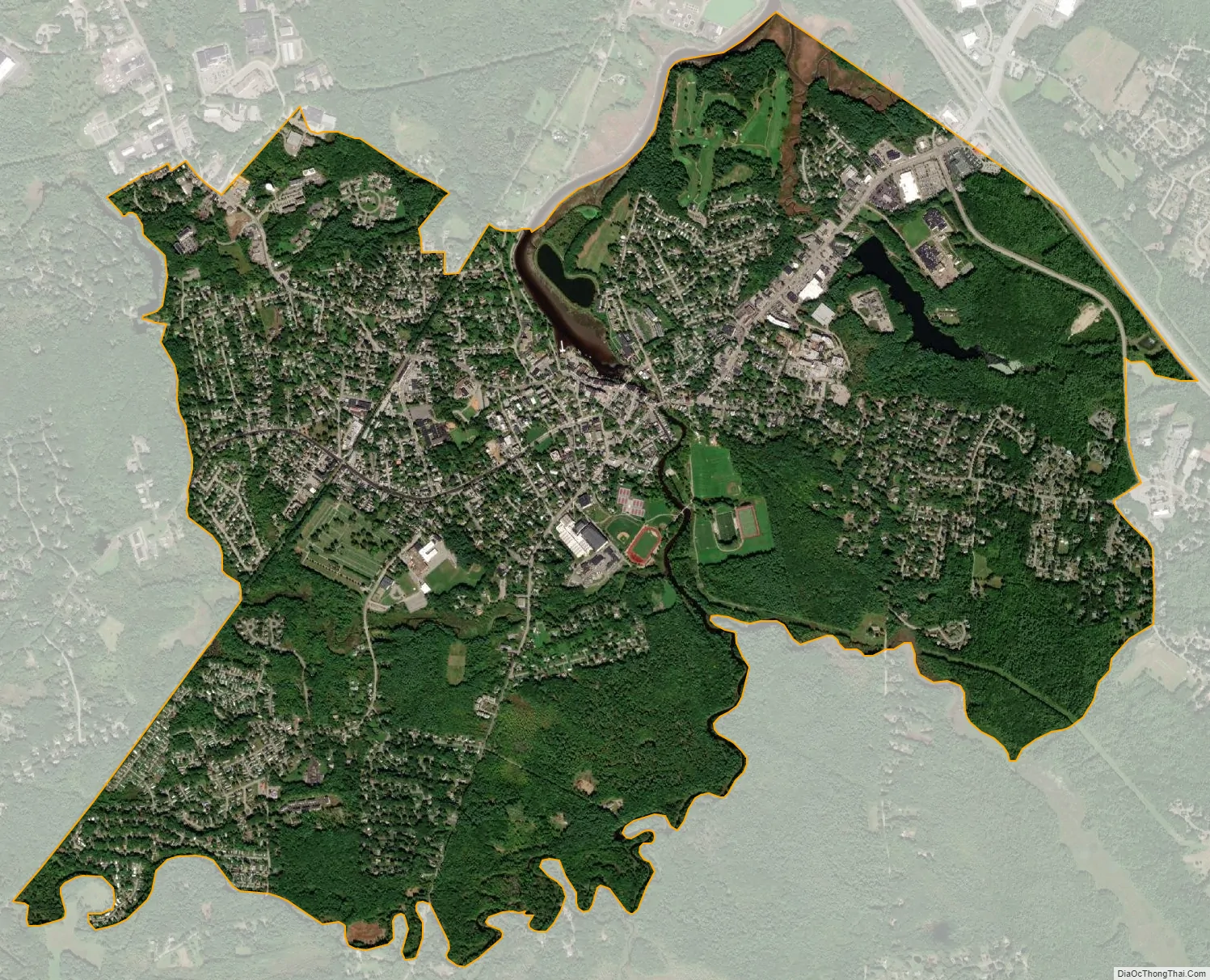
Exeter city Satellite Map
Geography
The CDP is in the southeastern part of the town of Exeter, on both sides of the Exeter River where it flows into the tidal Squamscott River. The CDP is bordered to the northeast by the town of Stratham and to the east by New Hampshire Route 101, Dearborn Brook, and New Hampshire Route 88 (Holland Way and Hampton Falls Road). The southern edge of the CDP is an unnamed brook and the Exeter River. The western border of the CDP follows the Pan Am Railways line and the Little River to Colcord Pond. The northern border follows Allard Street and Epping Road (New Hampshire Route 27), passes through woodlands to Oak Street Extension, then follows Forest Street, Wadleigh Street, Salem Street, the Pan Am Railways line again, and Norris Brook to the Squamscott River, which it follows north to the Stratham town line.
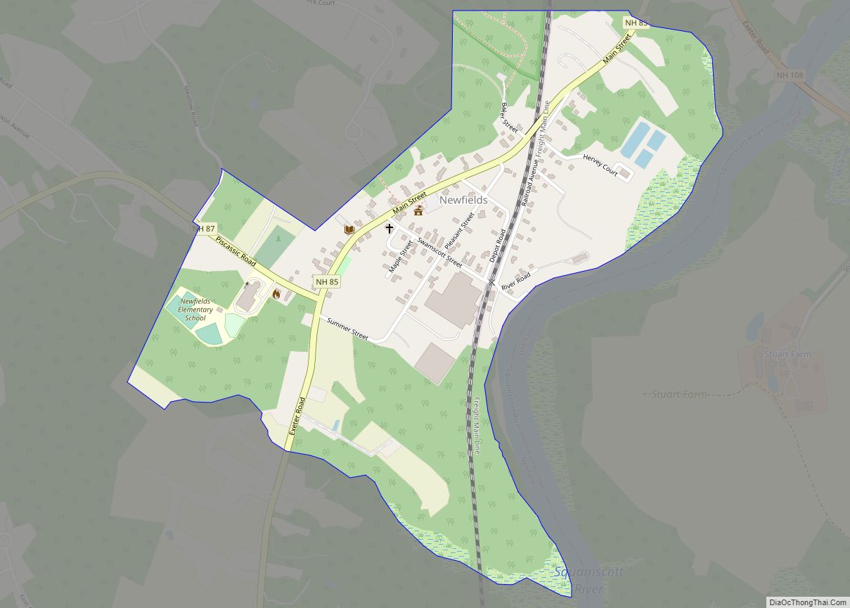
NH Route 101 bypasses the CDP to the north, with access from three exits. Route 101 leads east 4 miles (6 km) to Interstate 95 in Hampton and west 26 miles (42 km) to Interstate 93 in Manchester. New Hampshire Route 108 passes through the center of the CDP, leading north 12 miles (19 km) to Durham and south 18 miles (29 km) to Haverhill, Massachusetts. New Hampshire Route 27 passes through the center of Exeter as Main Street, Water Street, and High Street, and leads east and west parallel to Route 101. New Hampshire Route 111 runs west out of town as Front Street, leading 7 miles (11 km) to Kingston, and heads east out of town with Route 27 before splitting east-northeast to North Hampton. New Hampshire Route 88 leads southeast from the east side of Exeter 5 miles (8 km) to Hampton Falls. Route 85 leads north from the center of the CDP 4 miles (6 km) to Newfields. New Hampshire Route 111A leads west from Exeter 7 miles (11 km) to Brentwood.
According to the U.S. Census Bureau, the Exeter CDP has a total area of 4.6 square miles (12.0 km), of which 4.5 square miles (11.6 km) are land and 0.2 square miles (0.4 km), or 3.24%, are water. The Squamscott River, which starts in the CDP at the head of tide where the Exeter River flows into it, runs north from Exeter to Great Bay.
See also
Map of New Hampshire State and its subdivision: Map of other states:- Alabama
- Alaska
- Arizona
- Arkansas
- California
- Colorado
- Connecticut
- Delaware
- District of Columbia
- Florida
- Georgia
- Hawaii
- Idaho
- Illinois
- Indiana
- Iowa
- Kansas
- Kentucky
- Louisiana
- Maine
- Maryland
- Massachusetts
- Michigan
- Minnesota
- Mississippi
- Missouri
- Montana
- Nebraska
- Nevada
- New Hampshire
- New Jersey
- New Mexico
- New York
- North Carolina
- North Dakota
- Ohio
- Oklahoma
- Oregon
- Pennsylvania
- Rhode Island
- South Carolina
- South Dakota
- Tennessee
- Texas
- Utah
- Vermont
- Virginia
- Washington
- West Virginia
- Wisconsin
- Wyoming