Gorham is a census-designated place (CDP) and the main village in the town of Gorham in Coos County, New Hampshire, United States. The population of the CDP was 1,851 at the 2020 census, out of 2,698 people in the entire town of Gorham.
| Name: | Gorham CDP |
|---|---|
| LSAD Code: | 57 |
| LSAD Description: | CDP (suffix) |
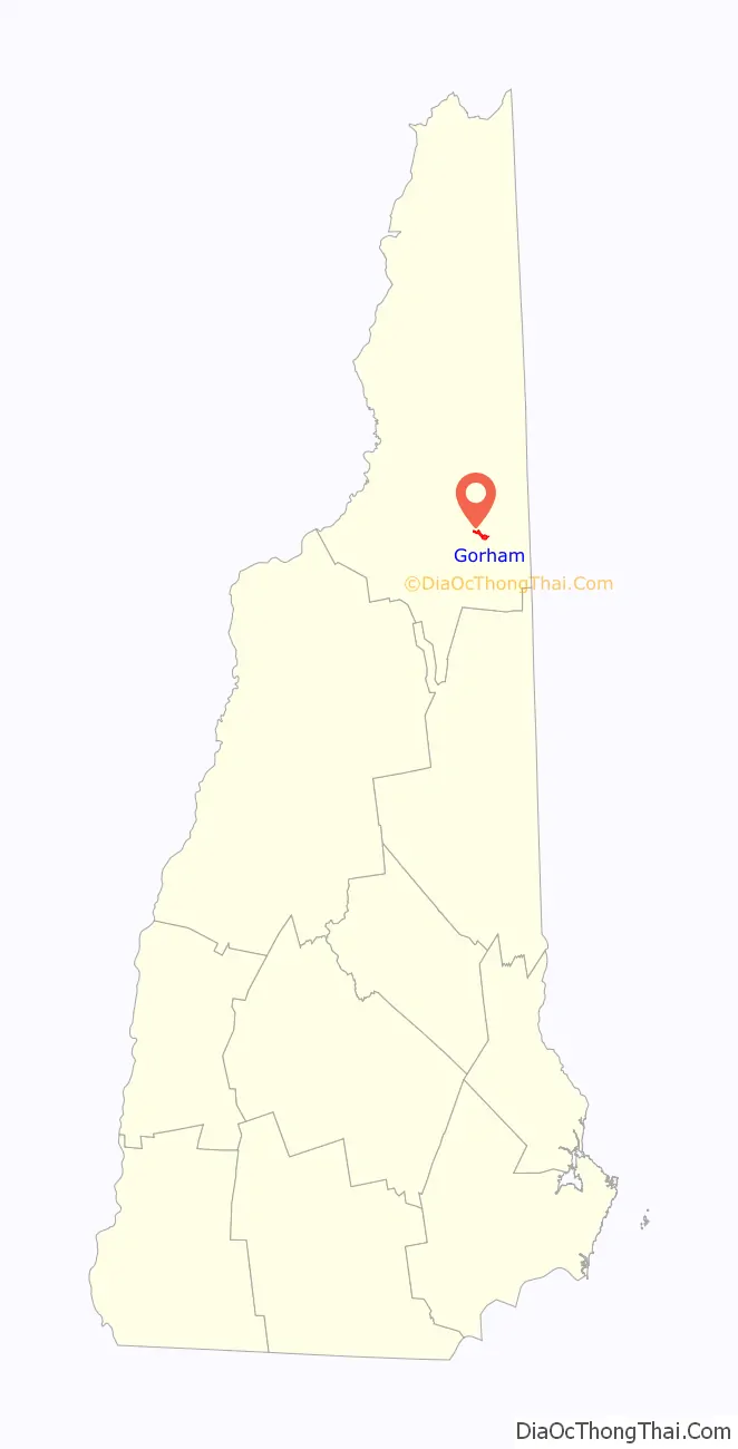
| State: | New Hampshire |
| County: | Coos County |
| Elevation: | 790 ft (240 m) |
| Total Area: | 1.77 sq mi (4.58 km²) |
| Land Area: | 1.68 sq mi (4.36 km²) |
| Water Area: | 0.09 sq mi (0.22 km²) |
| Total Population: | 1,851 |
| Population Density: | 1,099.82/sq mi (424.56/km²) |
| ZIP code: | 03581 |
| Area code: | 603 |
| FIPS code: | 3330180 |
| GNISfeature ID: | 2378065 |
Online Interactive Map
Click on ![]() to view map in "full screen" mode.
to view map in "full screen" mode.
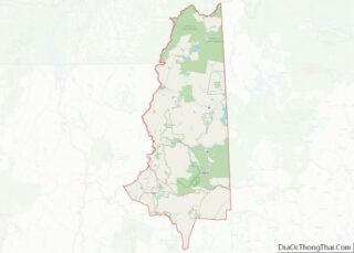
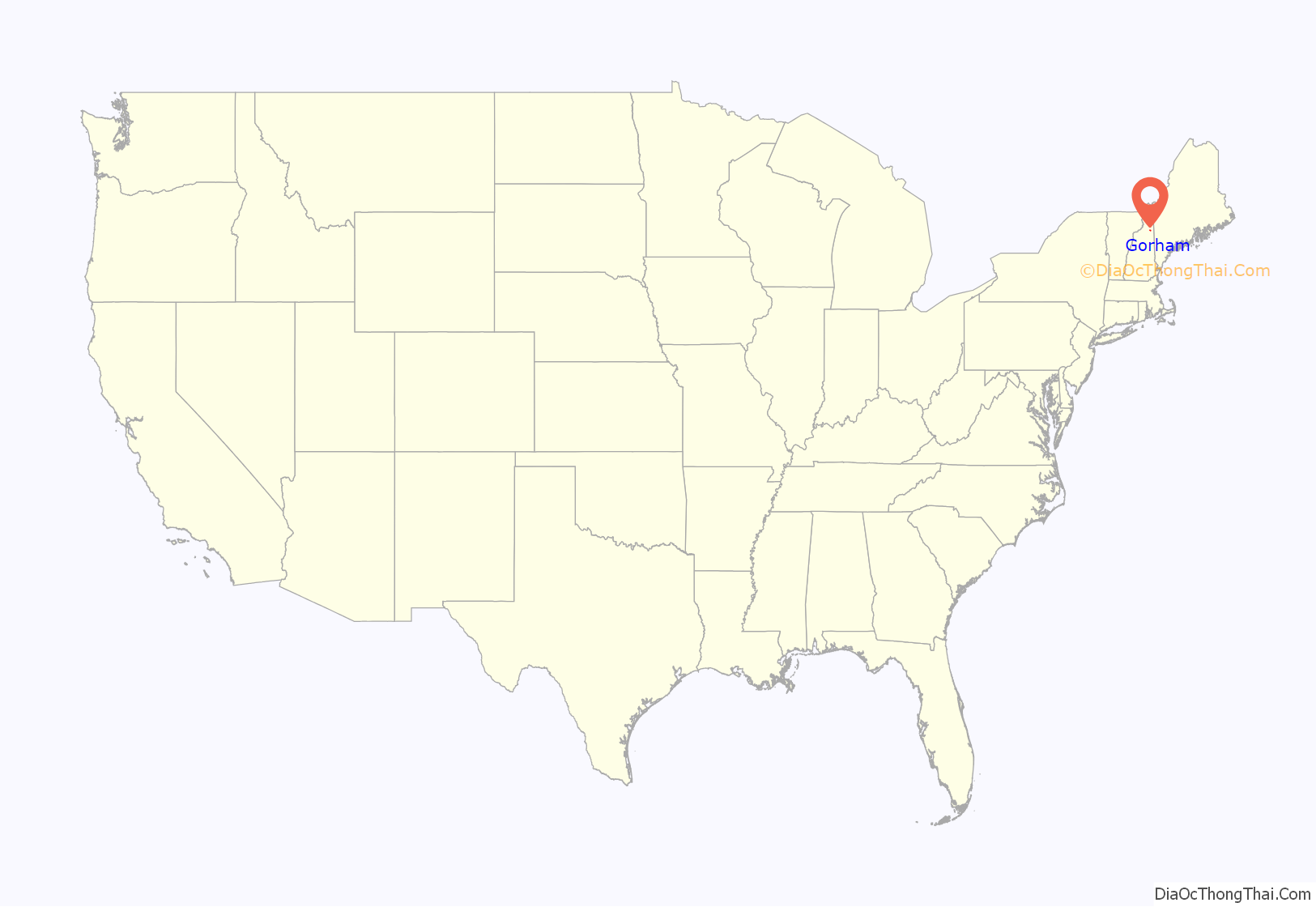
Gorham location map. Where is Gorham CDP?
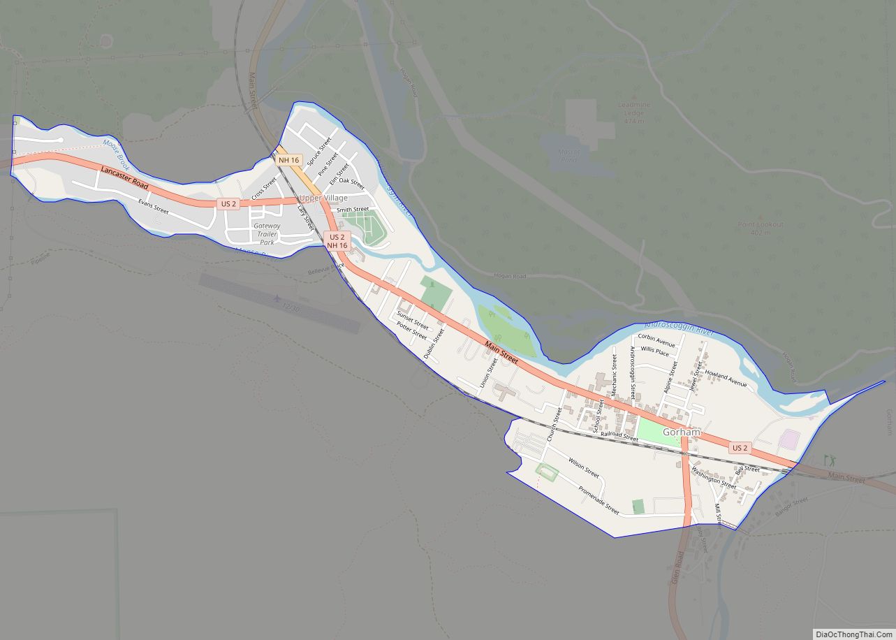
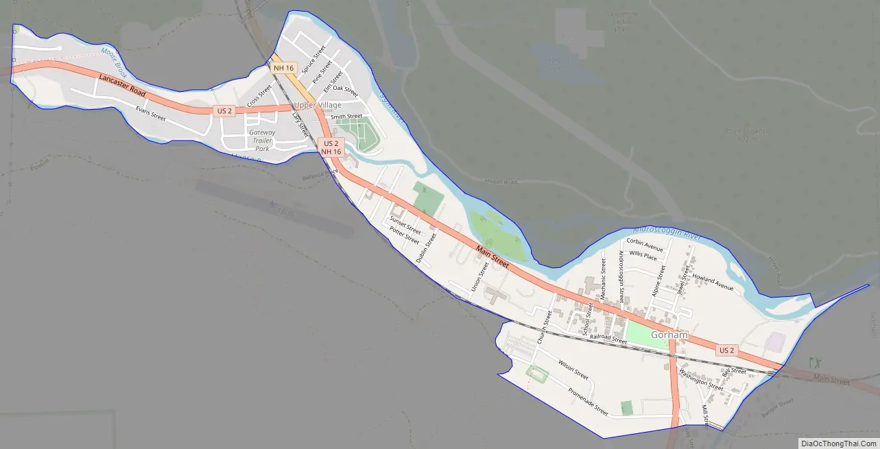
Gorham Road Map
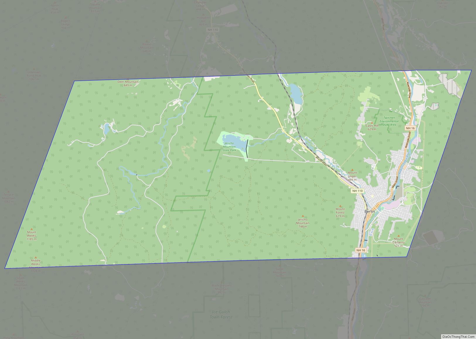
Gorham city Satellite Map
Geography
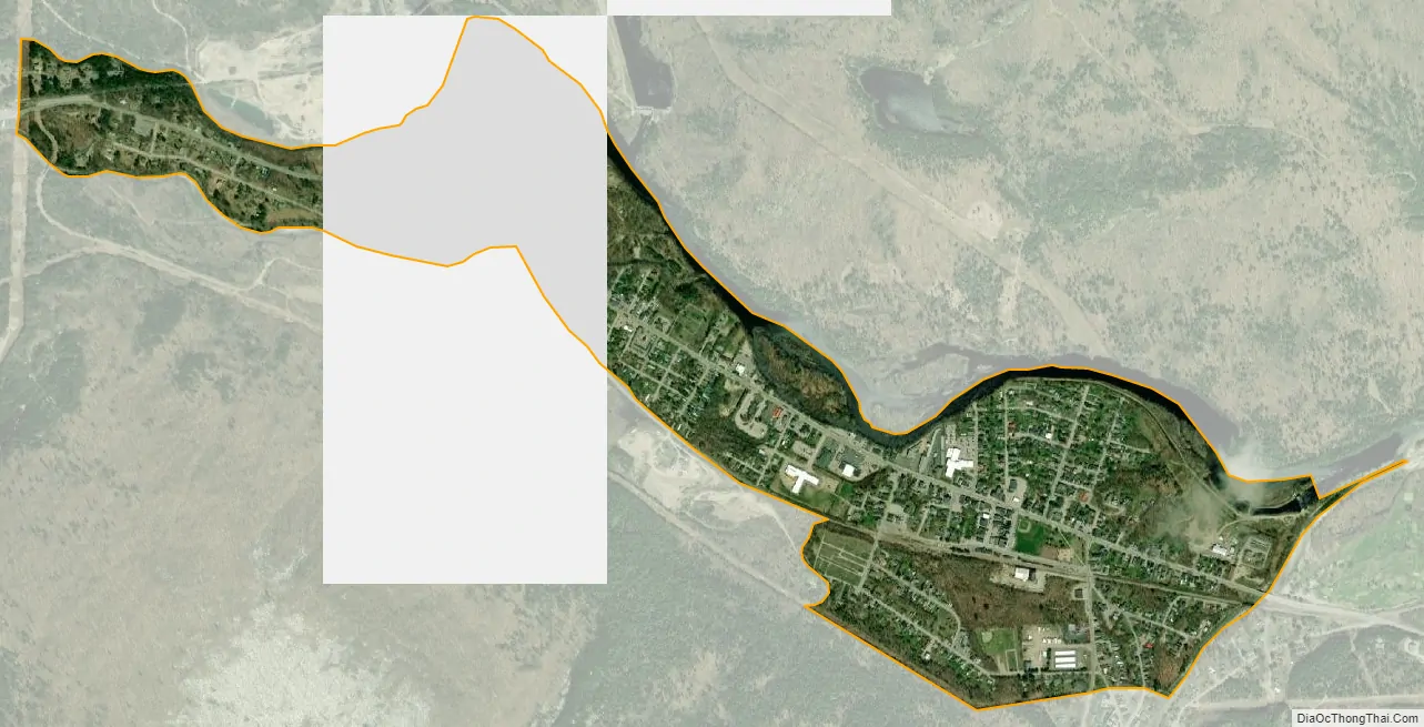
The CDP is in the central part of the town of Gorham, on the south side of the Androscoggin River. The CDP extends from Moose Brook State Park in the west to the Shelburne town line in the east. The northern border, from west to east, includes Jimtown Road, Moose Brook, and the Androscoggin River, while the southern border follows a power line and a pipeline. U.S. Route 2 runs through the center of Gorham as its Main Street, leading east 22 miles (35 km) to Bethel, Maine, and west 24 miles (39 km) to Lancaster. New Hampshire Route 16 joins US 2 through the center of Gorham but leads north 6 miles (10 km) to Berlin and south over Pinkham Notch 27 miles (43 km) to North Conway.
According to the U.S. Census Bureau, the Gorham CDP has a total area of 1.8 square miles (4.6 km), of which 1.7 square miles (4.4 km) are land and 0.1 square miles (0.2 km), or 4.81%, are water.
See also
Map of New Hampshire State and its subdivision: Map of other states:- Alabama
- Alaska
- Arizona
- Arkansas
- California
- Colorado
- Connecticut
- Delaware
- District of Columbia
- Florida
- Georgia
- Hawaii
- Idaho
- Illinois
- Indiana
- Iowa
- Kansas
- Kentucky
- Louisiana
- Maine
- Maryland
- Massachusetts
- Michigan
- Minnesota
- Mississippi
- Missouri
- Montana
- Nebraska
- Nevada
- New Hampshire
- New Jersey
- New Mexico
- New York
- North Carolina
- North Dakota
- Ohio
- Oklahoma
- Oregon
- Pennsylvania
- Rhode Island
- South Carolina
- South Dakota
- Tennessee
- Texas
- Utah
- Vermont
- Virginia
- Washington
- West Virginia
- Wisconsin
- Wyoming