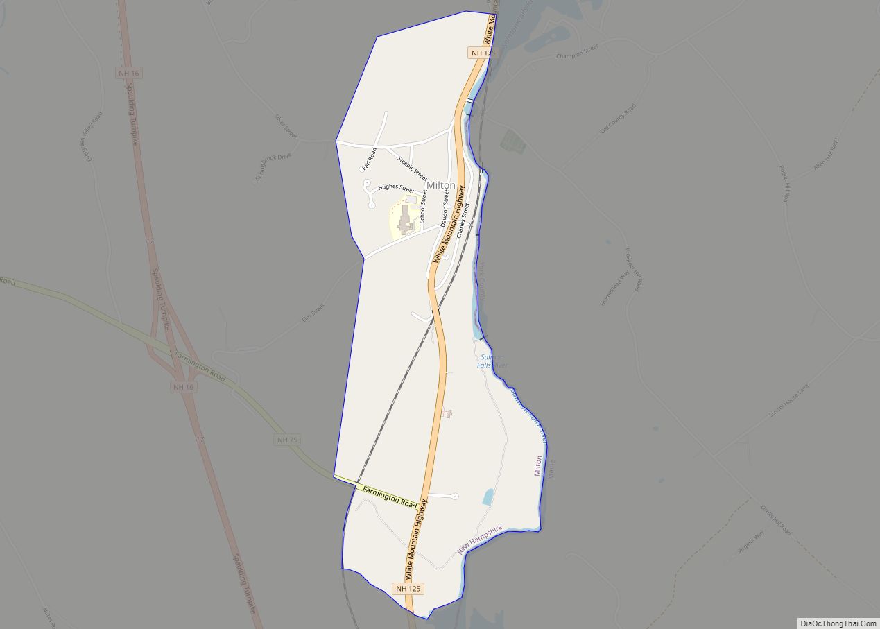
Milton is a census-designated place (CDP) and the primary village in the town of Milton, Strafford County, New Hampshire, United States. The population of the CDP was 593 at the 2020 census, out of 4,482 in the entire town.
| Name: | Milton CDP |
|---|---|
| LSAD Code: | 57 |
| LSAD Description: | CDP (suffix) |
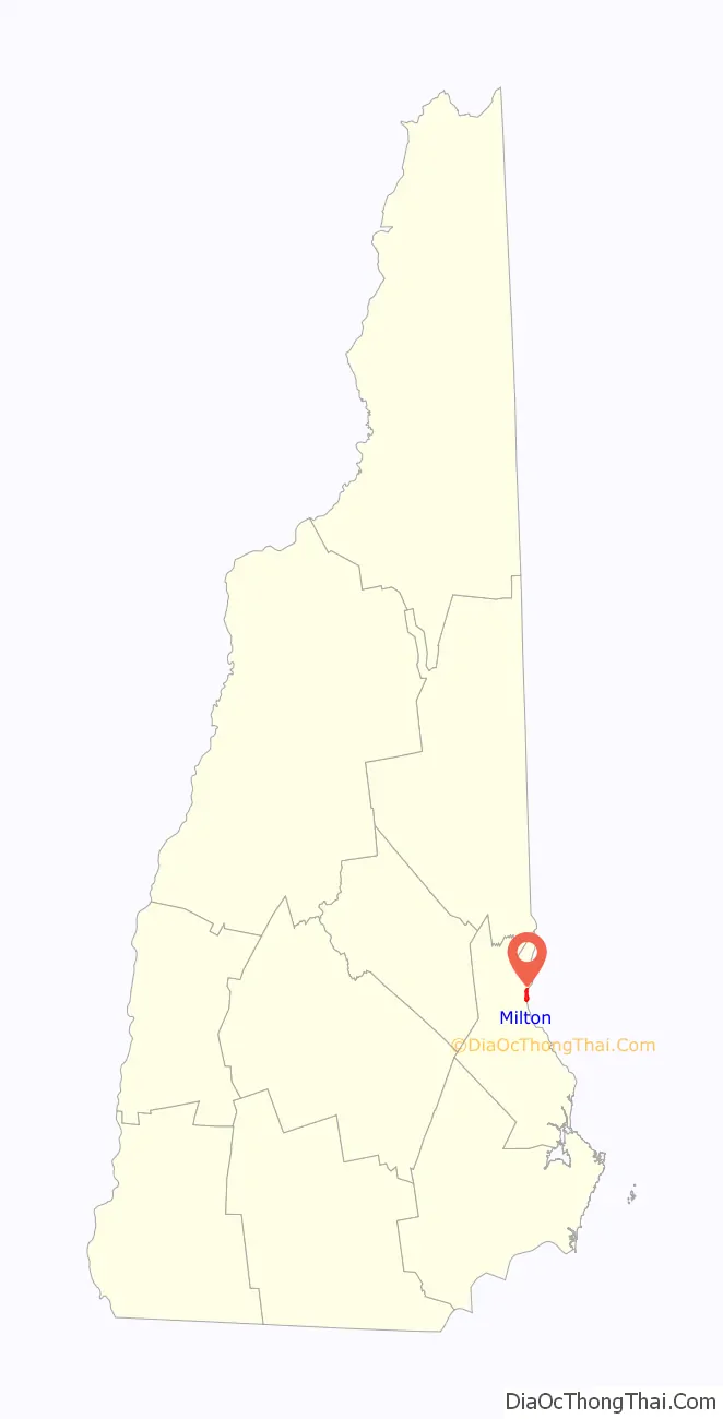
| State: | New Hampshire |
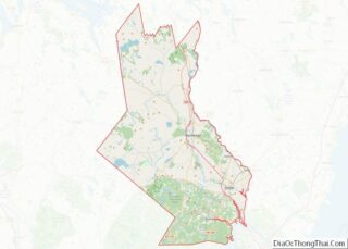
| County: | Strafford County |
| Elevation: | 440 ft (130 m) |
| Total Area: | 0.81 sq mi (2.10 km²) |
| Land Area: | 0.81 sq mi (2.09 km²) |
| Water Area: | 0.00 sq mi (0.00 km²) |
| Total Population: | 593 |
| Population Density: | 733.91/sq mi (283.37/km²) |
| ZIP code: | 03851 |
| Area code: | 603 |
| FIPS code: | 3348580 |
| GNISfeature ID: | 2629728 |
Online Interactive Map
Click on ![]() to view map in "full screen" mode.
to view map in "full screen" mode.
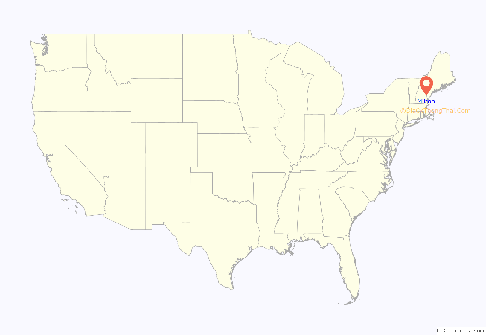
Milton location map. Where is Milton CDP?
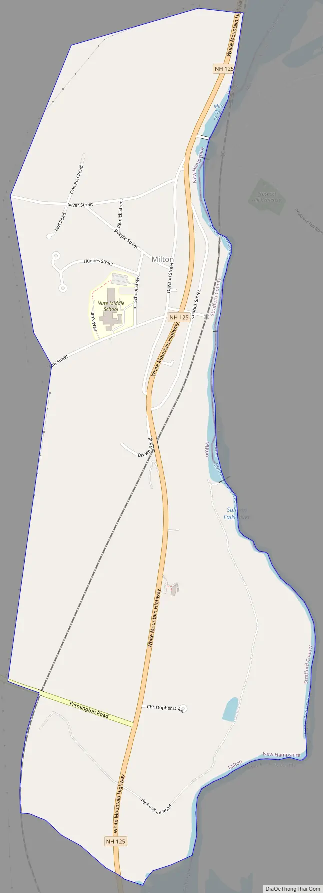
Milton Road Map
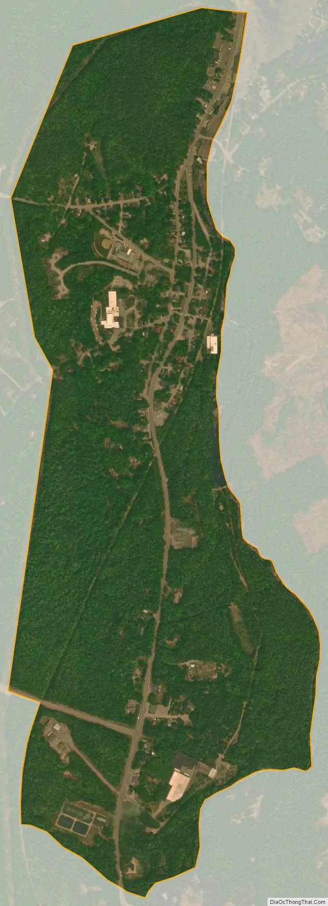
Milton city Satellite Map
Geography
The CDP is in the southeastern part of the town of Milton, on the west side of the Salmon Falls River, which forms the New Hampshire–Maine state line. The CDP extends north (upriver) to the outlet of Milton Pond, and south (downriver) to the head of Spaulding Pond. The western limit of the CDP follows a power line that passes through forest just west of the village.
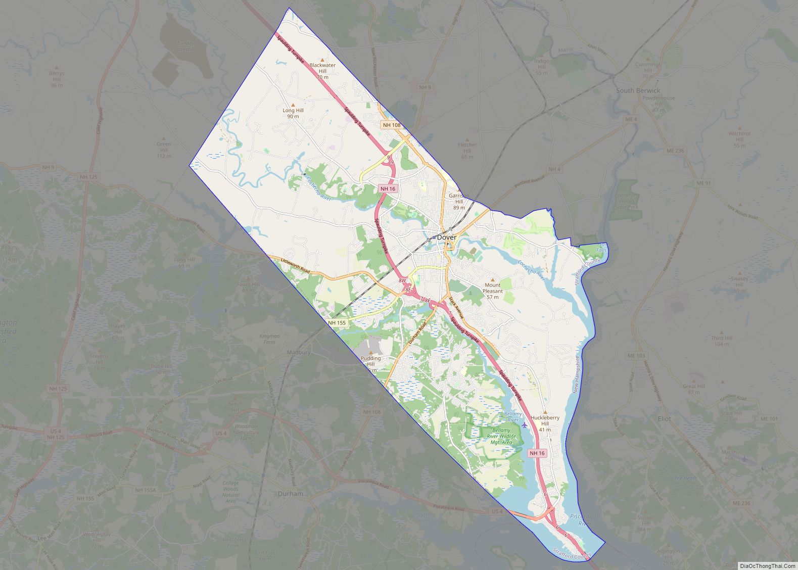
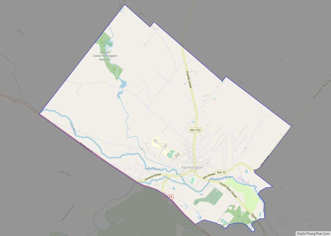
New Hampshire Route 125 is the main road through the CDP, leading north 6 miles (10 km) to its terminus at Union and south 7 miles (11 km) to the center of Rochester. New Hampshire Route 75 has its eastern terminus in the southern part of the CDP and leads west 4 miles (6 km) to Farmington. New Hampshire Route 16 (the Spaulding Turnpike) passes just west of the CDP, with access from Exit 17 (Route 75). Route 16 leads north 55 miles (89 km) to North Conway and south 30 miles (48 km) to Portsmouth.
According to the U.S. Census Bureau, the Milton CDP has a total area of 0.81 square miles (2.1 km), of which 1.09 acres (4,419 m) are water, comprising 0.21% of the CDP. Via the Salmon Falls River, Milton is part of the Piscataqua River watershed, reaching the Atlantic Ocean at Portsmouth.
See also
Map of New Hampshire State and its subdivision: Map of other states:- Alabama
- Alaska
- Arizona
- Arkansas
- California
- Colorado
- Connecticut
- Delaware
- District of Columbia
- Florida
- Georgia
- Hawaii
- Idaho
- Illinois
- Indiana
- Iowa
- Kansas
- Kentucky
- Louisiana
- Maine
- Maryland
- Massachusetts
- Michigan
- Minnesota
- Mississippi
- Missouri
- Montana
- Nebraska
- Nevada
- New Hampshire
- New Jersey
- New Mexico
- New York
- North Carolina
- North Dakota
- Ohio
- Oklahoma
- Oregon
- Pennsylvania
- Rhode Island
- South Carolina
- South Dakota
- Tennessee
- Texas
- Utah
- Vermont
- Virginia
- Washington
- West Virginia
- Wisconsin
- Wyoming