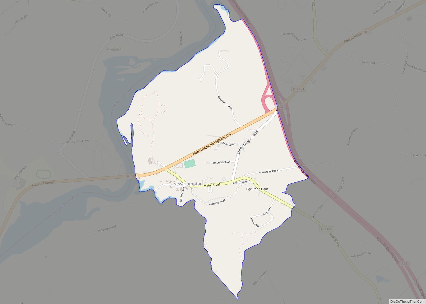
New Hampton is a census-designated place (CDP) and the main village in the town of New Hampton in Belknap County, New Hampshire, United States. The population was 373 at the 2020 census, out of 2,377 people in the entire town of New Hampton.
| Name: | New Hampton CDP |
|---|---|
| LSAD Code: | 57 |
| LSAD Description: | CDP (suffix) |
| State: | New Hampshire |
| County: | Belknap County |
| Elevation: | 525 ft (160 m) |
| Total Area: | 1.37 sq mi (3.54 km²) |
| Land Area: | 1.27 sq mi (3.29 km²) |
| Water Area: | 0.10 sq mi (0.25 km²) |
| Total Population: | 373 |
| Population Density: | 293.24/sq mi (113.26/km²) |
| ZIP code: | 03256 |
| Area code: | 603 |
| FIPS code: | 3351460 |
| GNISfeature ID: | 2629732 |
Online Interactive Map
Click on ![]() to view map in "full screen" mode.
to view map in "full screen" mode.
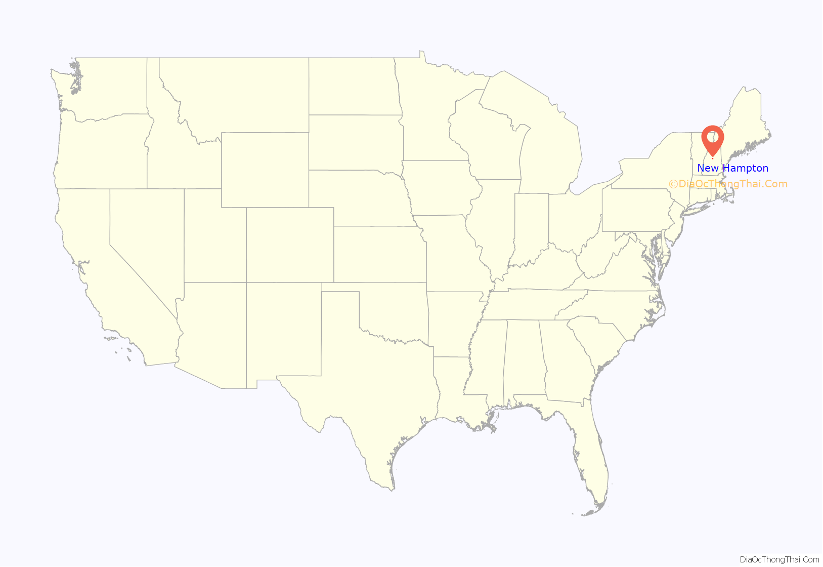
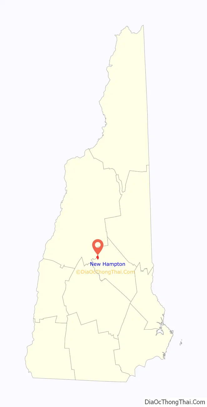
New Hampton location map. Where is New Hampton CDP?
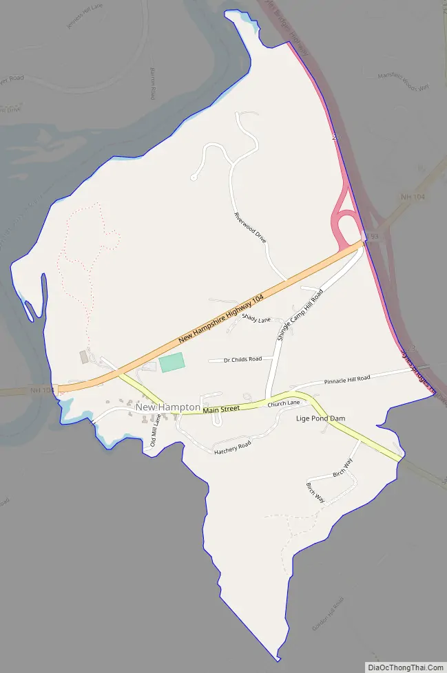
New Hampton Road Map
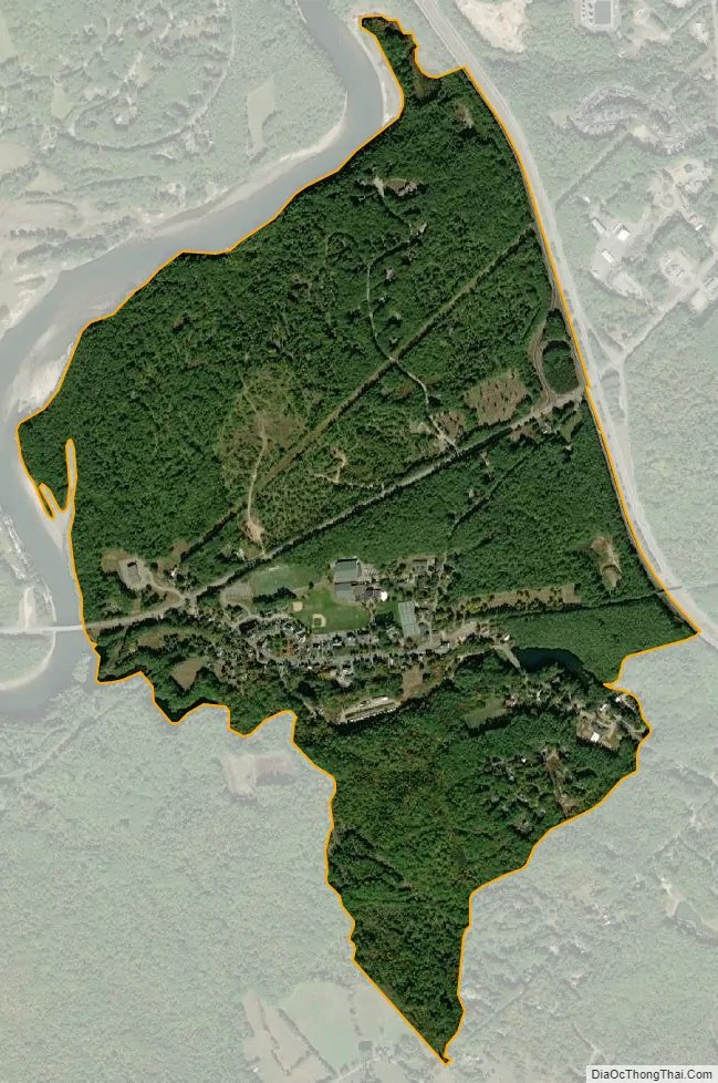
New Hampton city Satellite Map
Geography
The CDP is near the geographic center of the town of New Hampton, and is bordered to the north by the Pemigewasset River and to the east by Interstate 93. To the south the CDP border follows unnamed brooks through the New Hampton Fish Hatchery, running south (upstream) to Gordon Hill Road, then turns north down another unnamed brook to the main (unnamed) stream through the village, following it downstream to the Pemigewasset. The CDP includes the campus of New Hampton School, a private college preparatory high school.
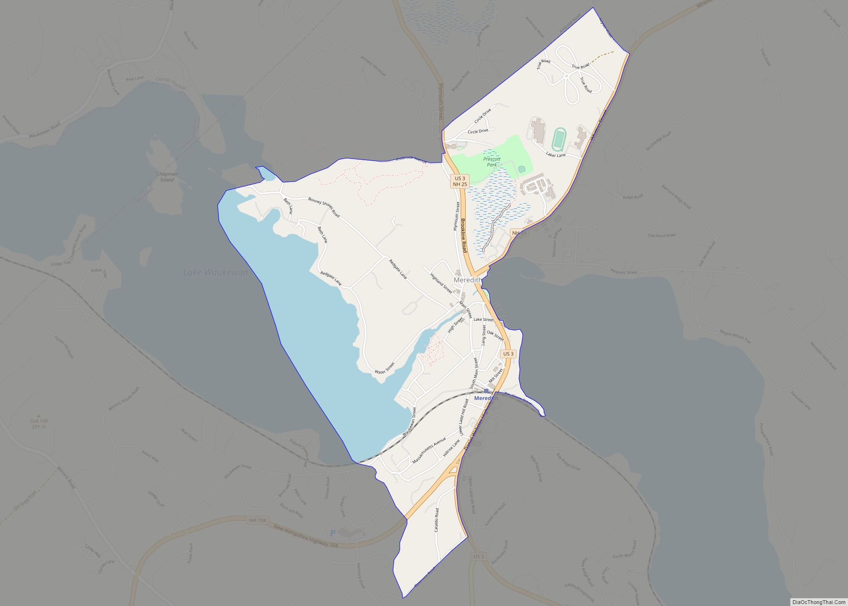
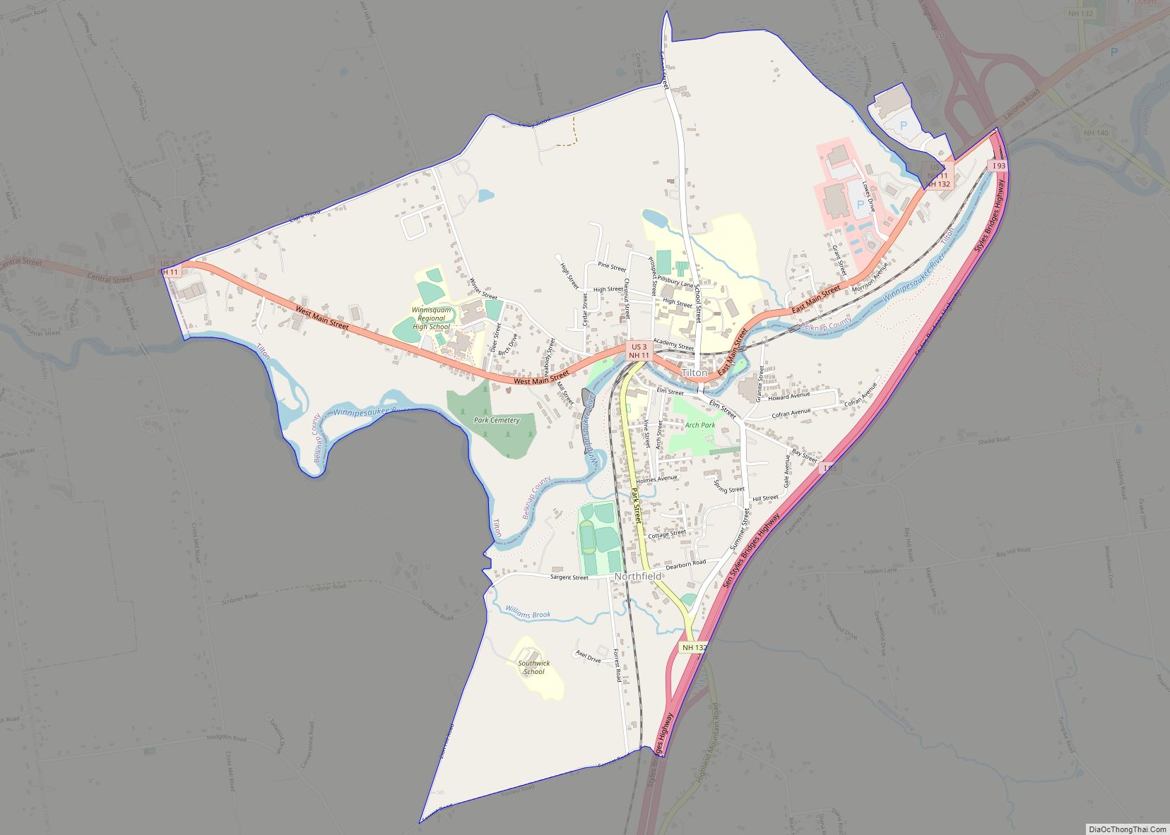
Interstate 93 crosses New Hampshire Route 104 at Exit 23 on the eastern edge of the CDP. I-93 leads north 11 miles (18 km) to Plymouth and south 31 miles (50 km) to Concord, the state capital. NH 104 leads east 9 miles (14 km) to Meredith and west 5 miles (8 km) to Bristol. New Hampshire Route 132 turns south from NH 104 on the western side of the CDP and proceeds east through the village center, then continues south through Sanbornton 12 miles (19 km) to U.S. Route 3 in Tilton.
According to the United States Census Bureau, the New Hampton CDP has a total area of 1.37 square miles (3.54 km), of which 1.27 square miles (3.29 km) are land and 0.10 square miles (0.25 km), or 7.10%, are water.
See also
Map of New Hampshire State and its subdivision: Map of other states:- Alabama
- Alaska
- Arizona
- Arkansas
- California
- Colorado
- Connecticut
- Delaware
- District of Columbia
- Florida
- Georgia
- Hawaii
- Idaho
- Illinois
- Indiana
- Iowa
- Kansas
- Kentucky
- Louisiana
- Maine
- Maryland
- Massachusetts
- Michigan
- Minnesota
- Mississippi
- Missouri
- Montana
- Nebraska
- Nevada
- New Hampshire
- New Jersey
- New Mexico
- New York
- North Carolina
- North Dakota
- Ohio
- Oklahoma
- Oregon
- Pennsylvania
- Rhode Island
- South Carolina
- South Dakota
- Tennessee
- Texas
- Utah
- Vermont
- Virginia
- Washington
- West Virginia
- Wisconsin
- Wyoming