Raymond is a census-designated place (CDP) and the main village in the town of Raymond, Rockingham County, New Hampshire, United States. The population of the CDP was 3,738 at the 2020 census, out of 10,684 in the entire town.
| Name: | Raymond CDP |
|---|---|
| LSAD Code: | 57 |
| LSAD Description: | CDP (suffix) |
| State: | New Hampshire |
| County: | Rockingham County |
| Elevation: | 205 ft (62 m) |
| Total Area: | 6.64 sq mi (17.19 km²) |
| Land Area: | 6.48 sq mi (16.78 km²) |
| Water Area: | 0.16 sq mi (0.42 km²) |
| Total Population: | 3,738 |
| Population Density: | 577.03/sq mi (222.78/km²) |
| ZIP code: | 03077 |
| Area code: | 603 |
| FIPS code: | 3363940 |
| GNISfeature ID: | 2378090 |
Online Interactive Map
Click on ![]() to view map in "full screen" mode.
to view map in "full screen" mode.
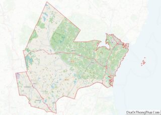
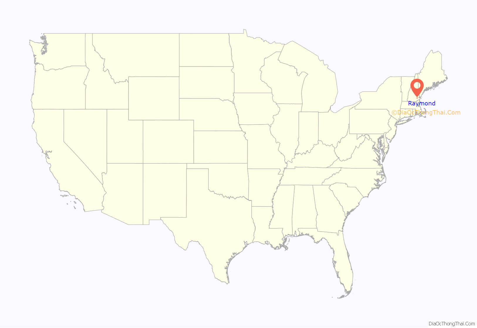
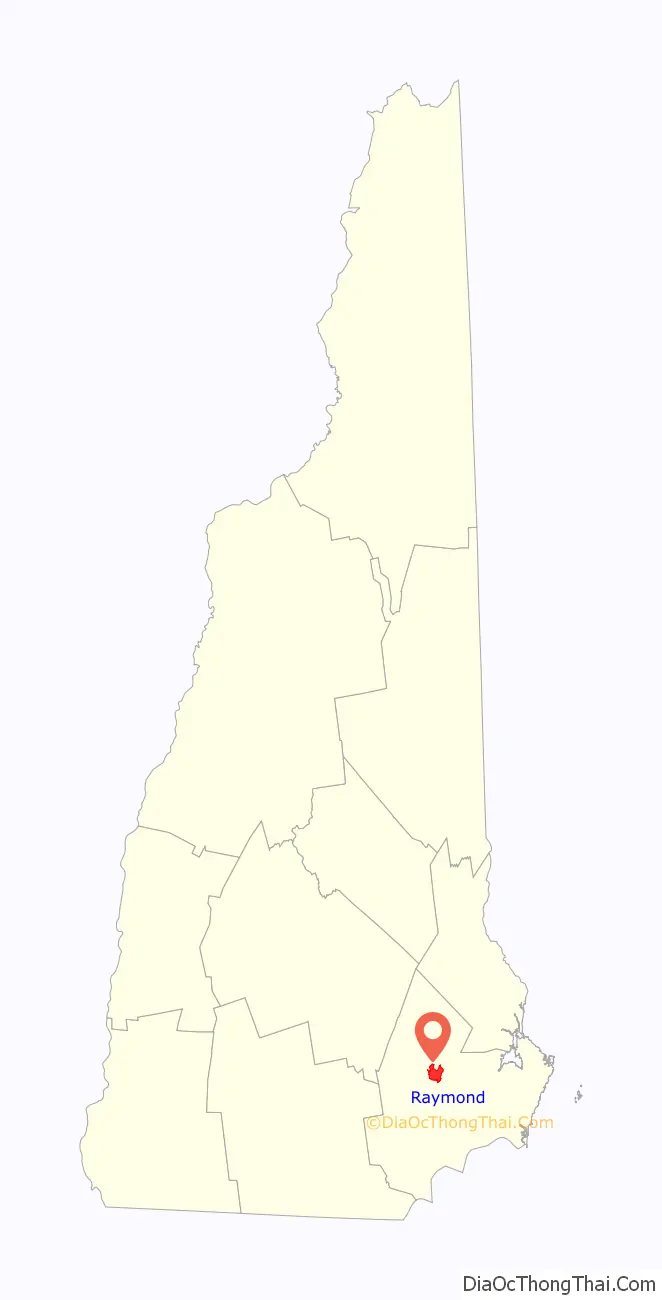
Raymond location map. Where is Raymond CDP?
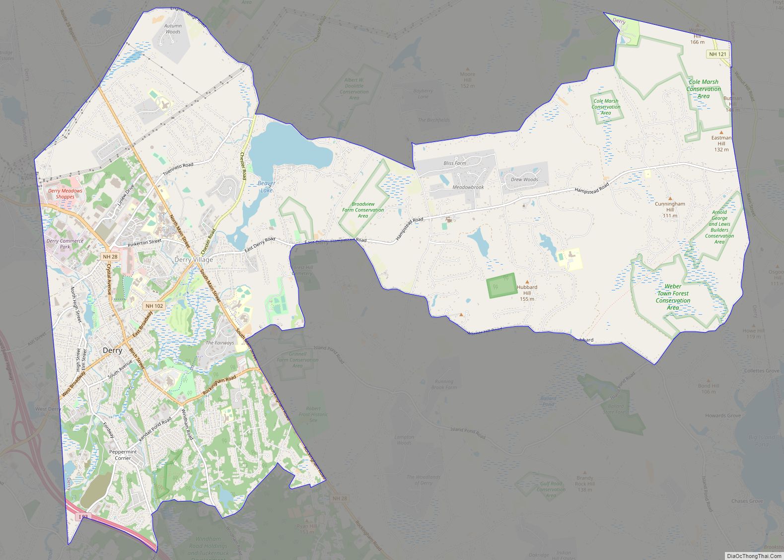
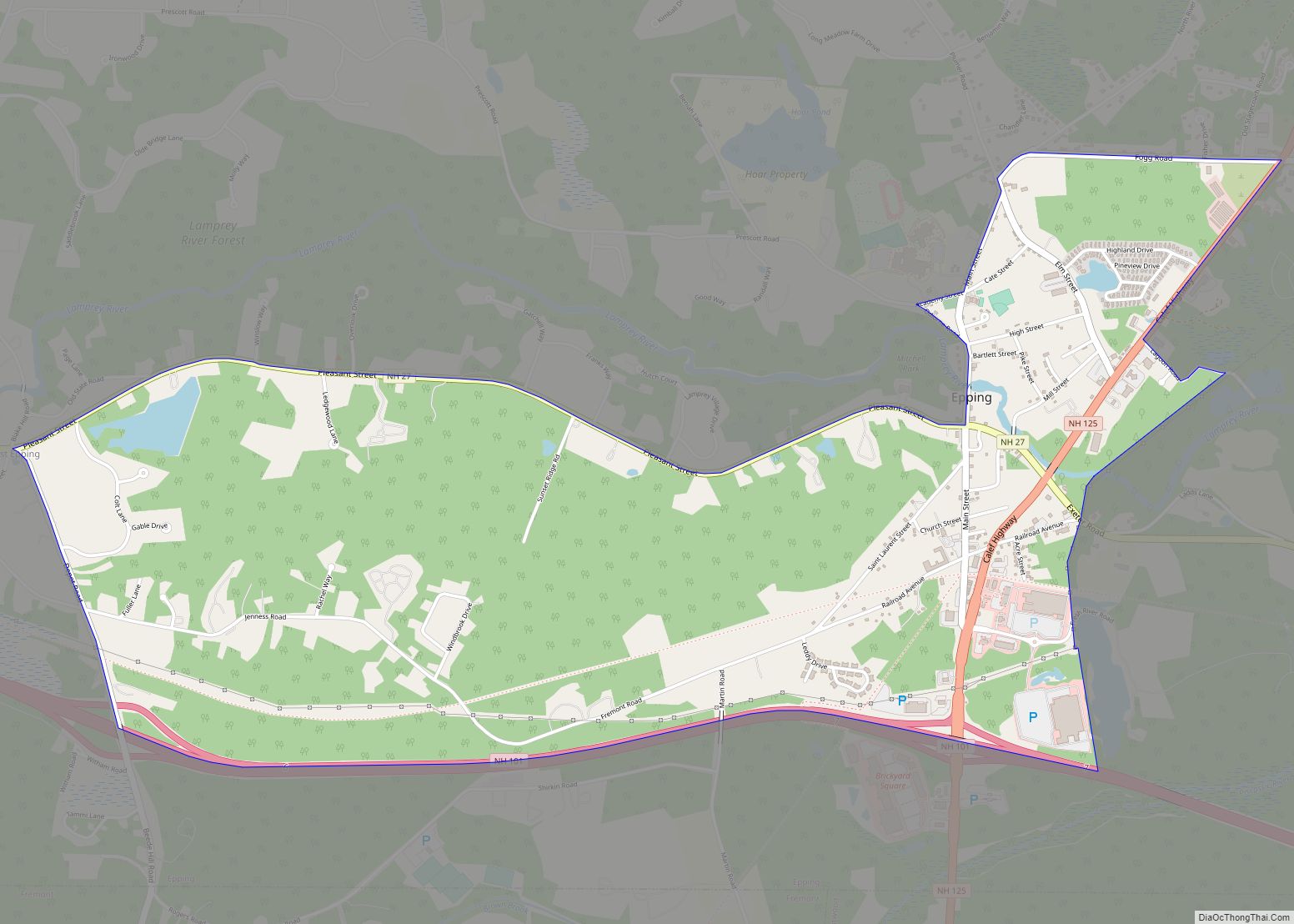
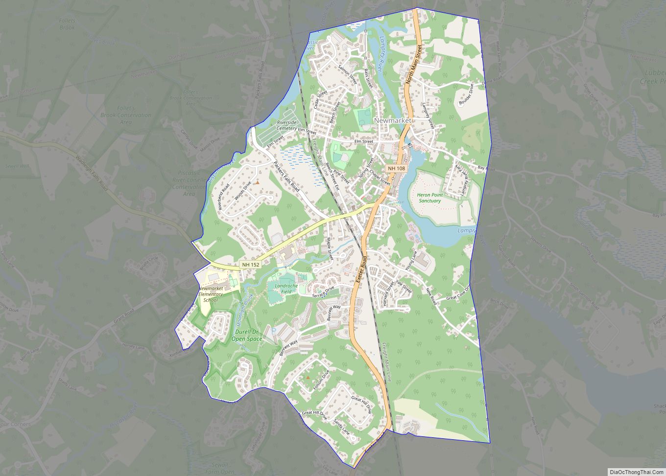
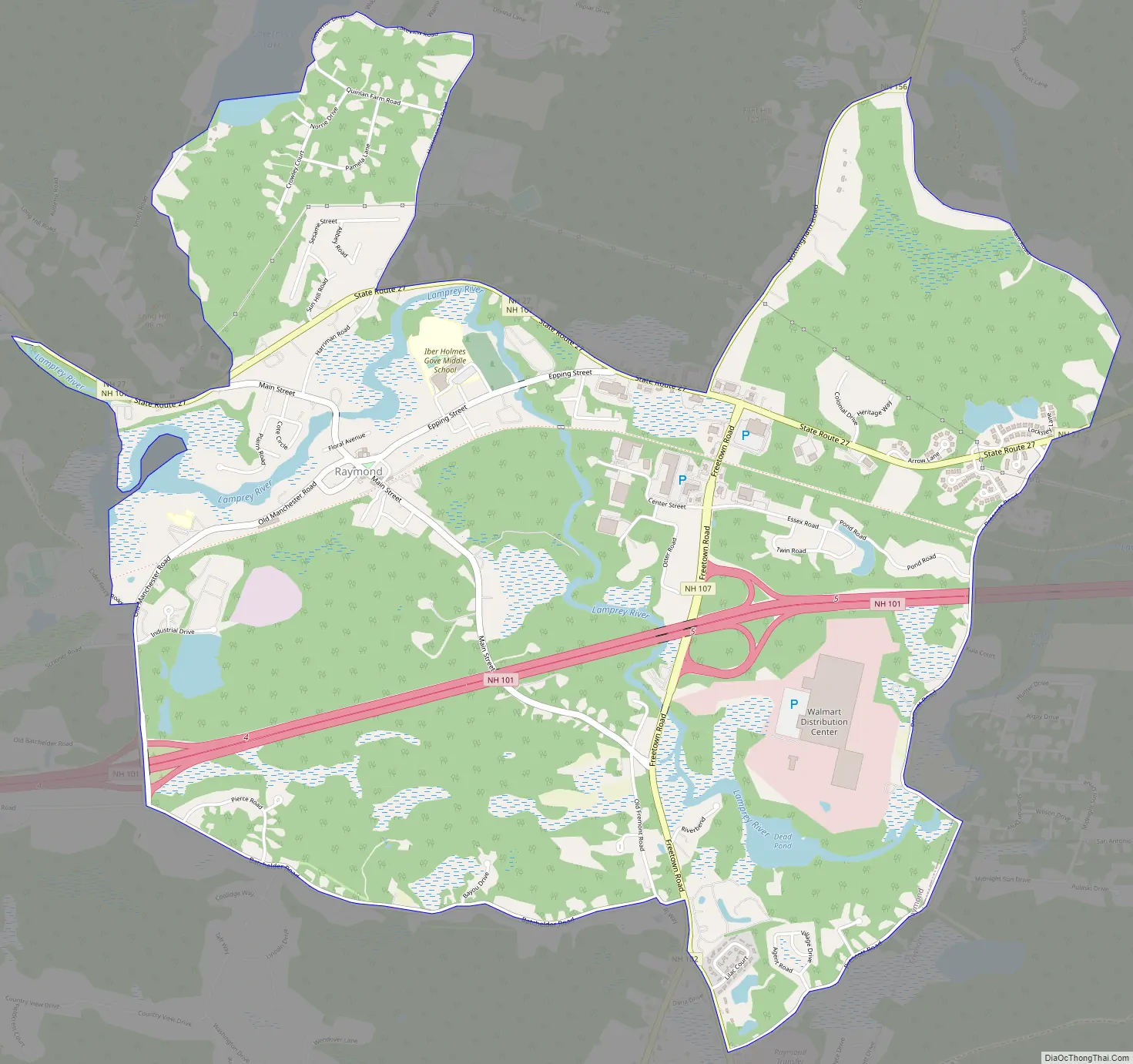
Raymond Road Map
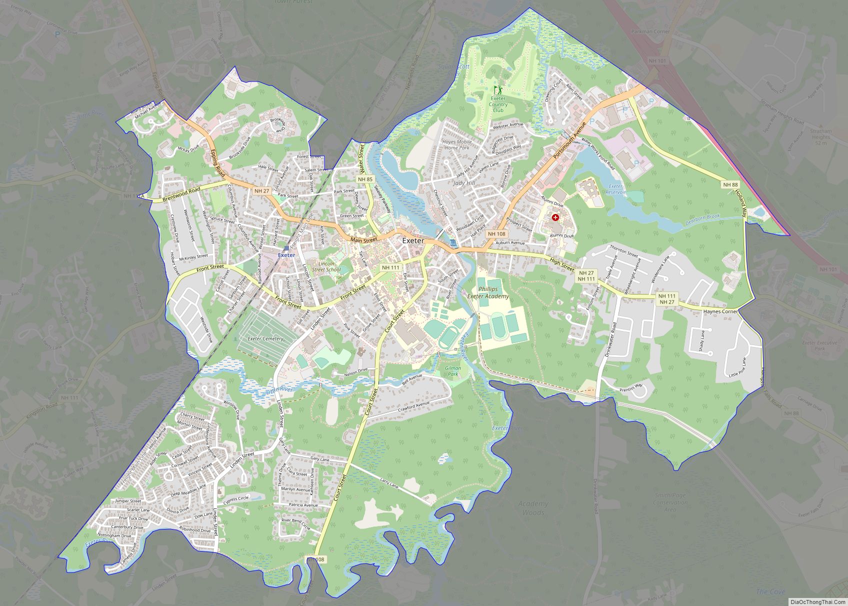
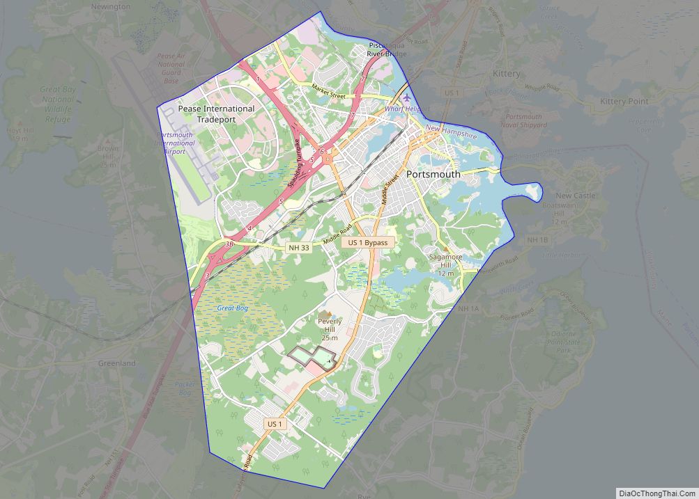
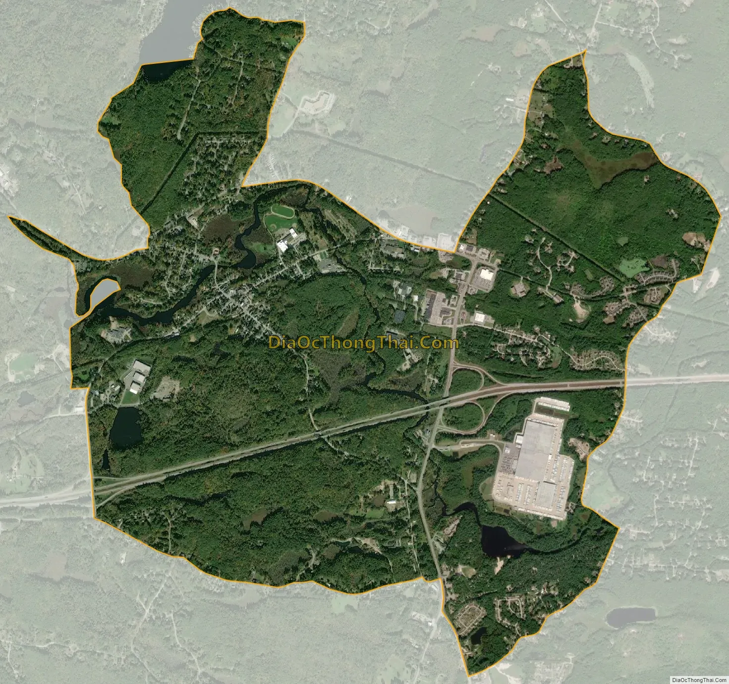
Raymond city Satellite Map
Geography
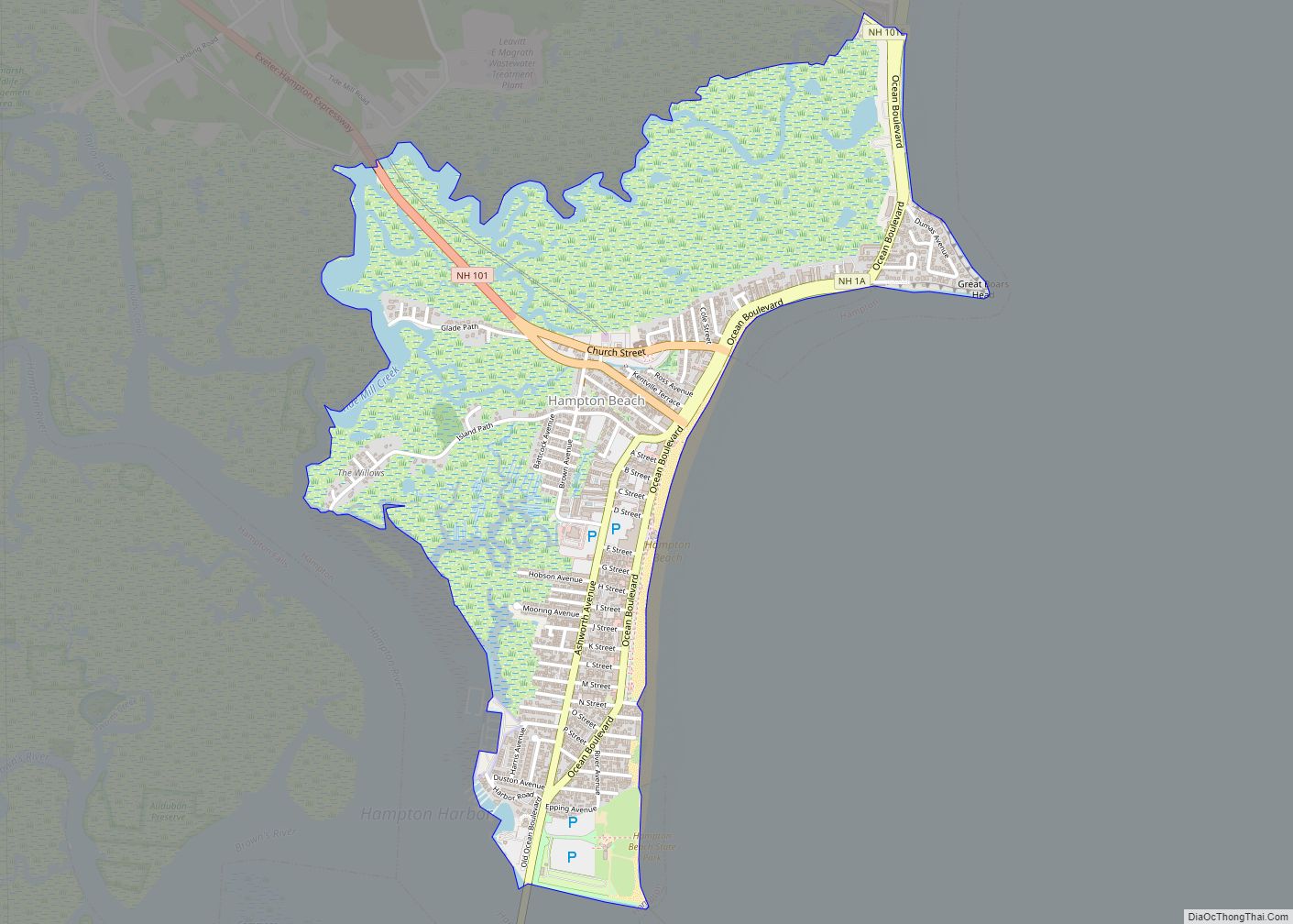
The CDP is in the eastern part of the town of Raymond, on both sides of the Lamprey River. The eastern border of the CDP is the Epping and Fremont town line. The northern border follows Ham Road, Harriman Hill Road, Lakeview Road, and Governor Drive. Turning south, the border crosses the southern end of Governors Lake and follows the lake outlet and Smith Pond Road to Long Hill Road, which it follows northwest to Dudley Brook, then south to the Lamprey River. The western border follows the Lamprey and an unnamed brook south to Cider Ferry Road, then runs south on Old Manchester Road to Batchelder Road, which forms the southern boundary of the CDP. The border turns south on New Hampshire Route 107 (Fremont Road) to Prescott Road, which it follows east to the Fremont town line.
The New Hampshire Route 101 freeway crosses the CDP south of the village center, with access from Exits 4 (Old Manchester Road) and 5 (New Hampshire Routes 102 and 107). Route 101 leads east 12 miles (19 km) to Exeter and west 16 miles (26 km) to Manchester. Route 27, the former alignment of Route 101, runs through the northern part of the CDP, leading east 5 miles (8 km) to Epping and west 7 miles (11 km) to Candia. Route 102 has its northern terminus in Raymond and leads southwest 14 miles (23 km) to Derry. Route 156 has its southern terminus in Raymond and leads north 6 miles (10 km) to Nottingham. Route 107 follows Routes 27 and 102 through the CDP but leads northwest 10 miles (16 km) to Deerfield and southeast the same distance to Kingston.
According to the U.S. Census Bureau, the Raymond CDP has a total area of 6.6 square miles (17.2 km), of which 6.5 square miles (16.8 km) are land and 0.2 square miles (0.4 km), or 2.41%, are water.
See also
Map of New Hampshire State and its subdivision: Map of other states:- Alabama
- Alaska
- Arizona
- Arkansas
- California
- Colorado
- Connecticut
- Delaware
- District of Columbia
- Florida
- Georgia
- Hawaii
- Idaho
- Illinois
- Indiana
- Iowa
- Kansas
- Kentucky
- Louisiana
- Maine
- Maryland
- Massachusetts
- Michigan
- Minnesota
- Mississippi
- Missouri
- Montana
- Nebraska
- Nevada
- New Hampshire
- New Jersey
- New Mexico
- New York
- North Carolina
- North Dakota
- Ohio
- Oklahoma
- Oregon
- Pennsylvania
- Rhode Island
- South Carolina
- South Dakota
- Tennessee
- Texas
- Utah
- Vermont
- Virginia
- Washington
- West Virginia
- Wisconsin
- Wyoming