Sanbornville is a census-designated place (CDP) and the primary village in the town of Wakefield, Carroll County, New Hampshire, United States. It had a population of 963 at the 2020 census.
| Name: | Sanbornville CDP |
|---|---|
| LSAD Code: | 57 |
| LSAD Description: | CDP (suffix) |
| State: | New Hampshire |
| County: | Carroll County |
| Elevation: | 581 ft (177 m) |
| Total Area: | 1.61 sq mi (4.18 km²) |
| Land Area: | 1.61 sq mi (4.18 km²) |
| Water Area: | 0.00 sq mi (0.00 km²) |
| Total Population: | 963 |
| Population Density: | 596.65/sq mi (230.40/km²) |
| ZIP code: | 03872 |
| Area code: | 603 |
| FIPS code: | 3367460 |
| GNISfeature ID: | 0869768 |
Online Interactive Map
Click on ![]() to view map in "full screen" mode.
to view map in "full screen" mode.
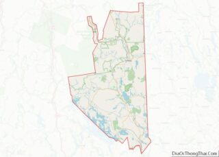
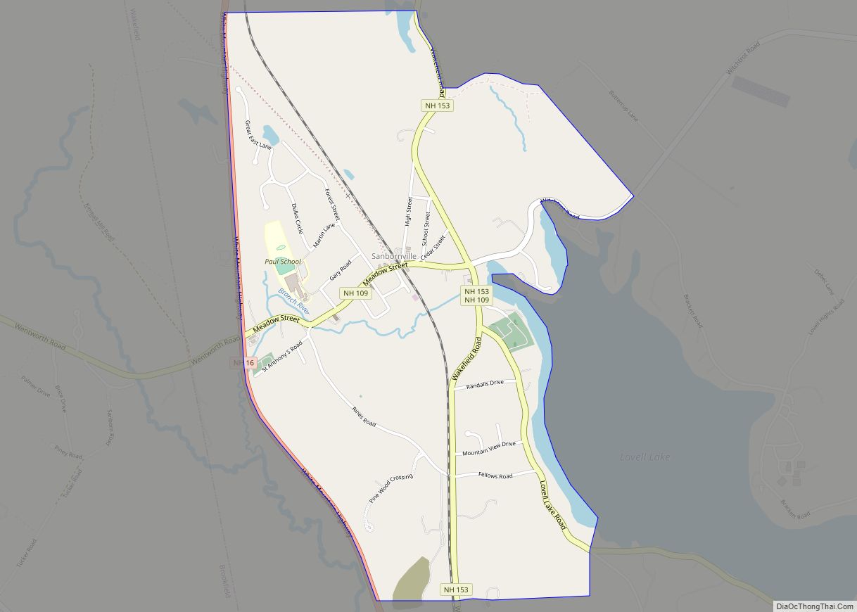
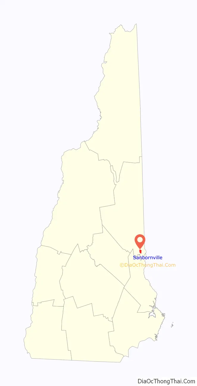
Sanbornville location map. Where is Sanbornville CDP?

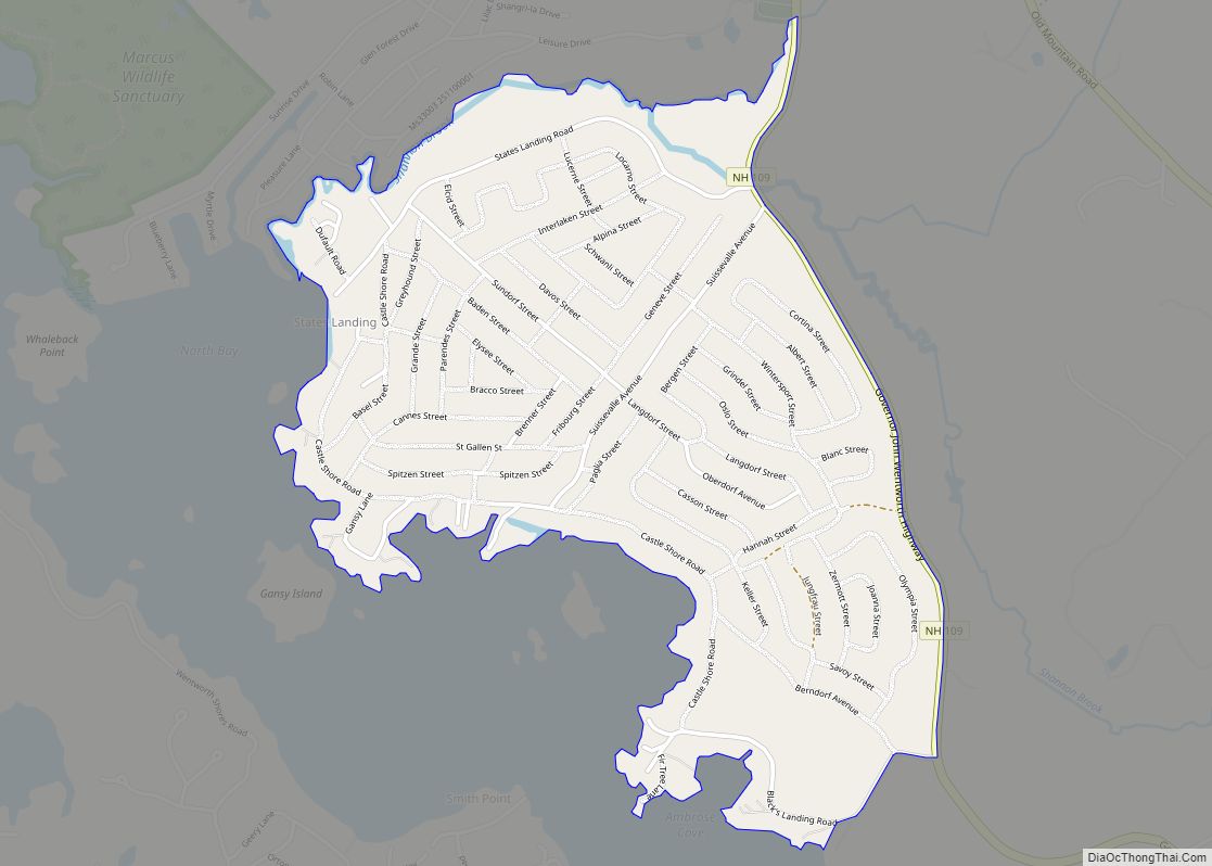
Sanbornville Road Map
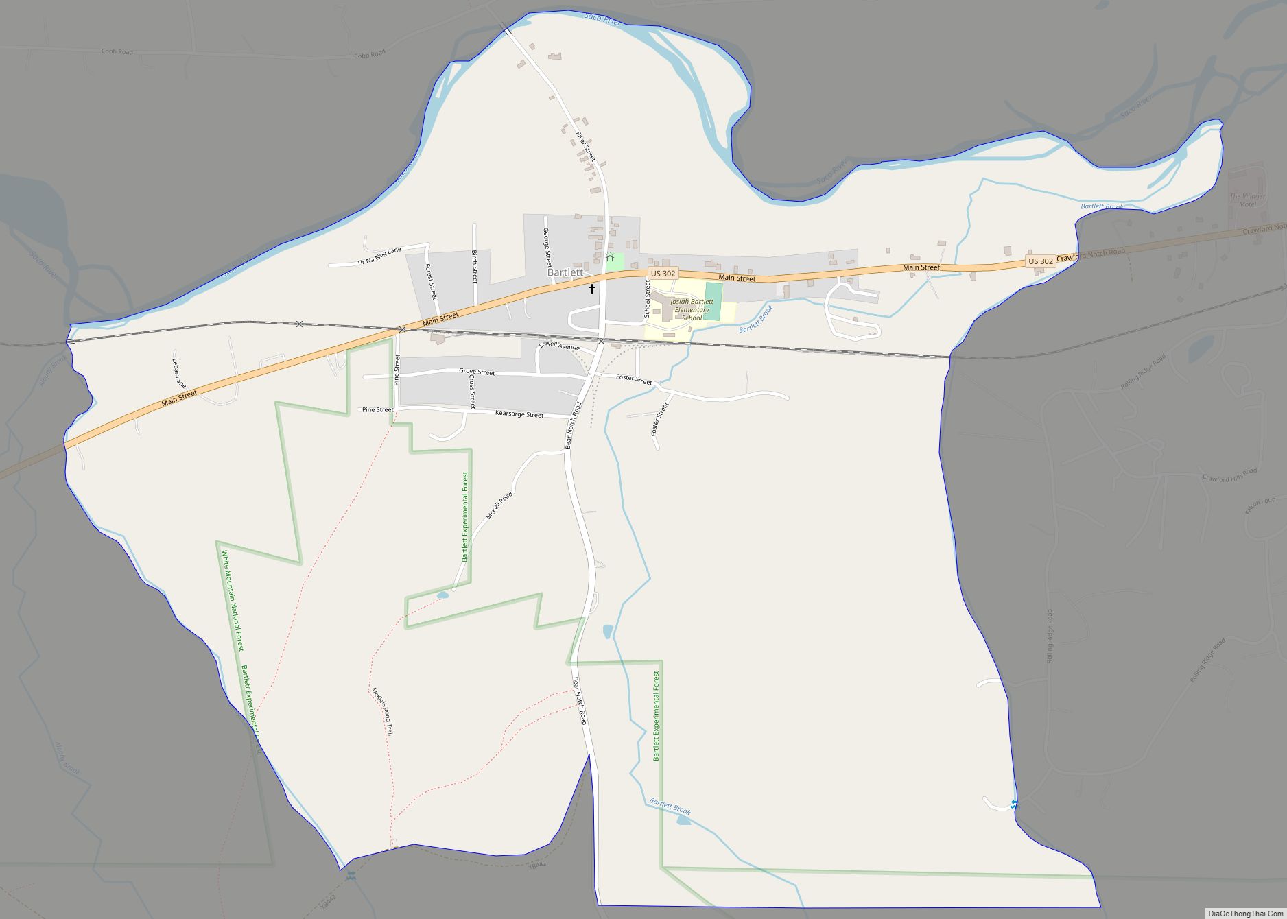
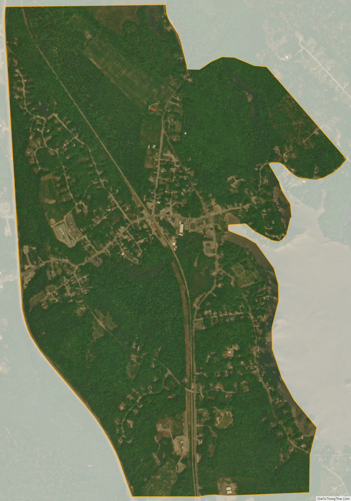
Sanbornville city Satellite Map
Geography
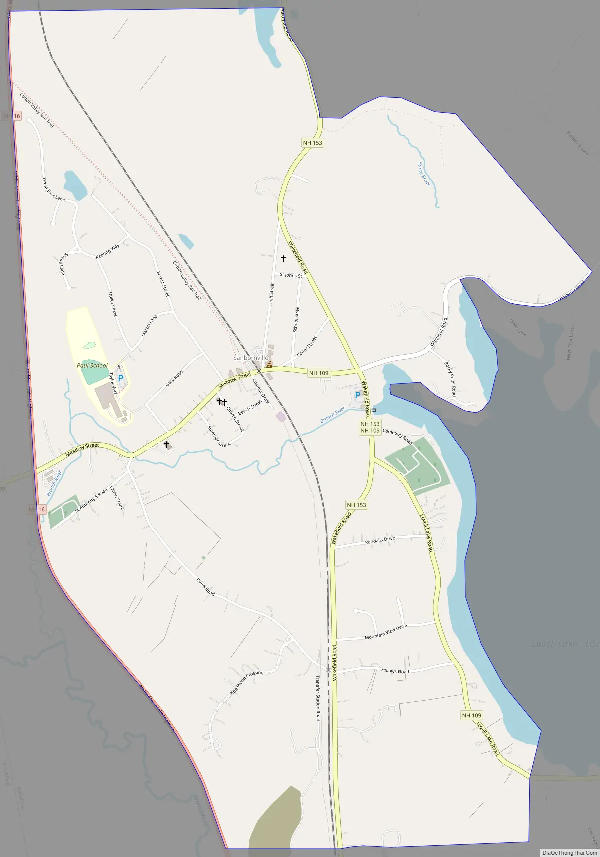
Sanbornville is in the southwestern part of the town of Wakefield, south of Wakefield village and north of Union. New Hampshire Route 16 forms the western edge of the CDP; the highway runs north 10 miles (16 km) to Ossipee and south 20 miles (32 km) to Rochester. New Hampshire Route 153 runs through the center of Sanbornville, leading north 17 miles (27 km) to Effingham and south 12 miles (19 km) to Farmington. New Hampshire Route 109 also passes through the center of Sanbornville, leading west 13 miles (21 km) to Wolfeboro and southeast 18 miles (29 km) to Sanford, Maine.
According to the U.S. Census Bureau, the Sanbornville CDP has a total area of 1.6 square miles (4.2 km), all of it recorded as land. The village is at the outlet of Lovell Lake, which forms the eastern edge of the CDP. The Branch River flows westward from the lake through the village before turning south on its course towards the Salmon Falls River.
See also
Map of New Hampshire State and its subdivision: Map of other states:- Alabama
- Alaska
- Arizona
- Arkansas
- California
- Colorado
- Connecticut
- Delaware
- District of Columbia
- Florida
- Georgia
- Hawaii
- Idaho
- Illinois
- Indiana
- Iowa
- Kansas
- Kentucky
- Louisiana
- Maine
- Maryland
- Massachusetts
- Michigan
- Minnesota
- Mississippi
- Missouri
- Montana
- Nebraska
- Nevada
- New Hampshire
- New Jersey
- New Mexico
- New York
- North Carolina
- North Dakota
- Ohio
- Oklahoma
- Oregon
- Pennsylvania
- Rhode Island
- South Carolina
- South Dakota
- Tennessee
- Texas
- Utah
- Vermont
- Virginia
- Washington
- West Virginia
- Wisconsin
- Wyoming