Barrington is a borough in Camden County, in the U.S. state of New Jersey. As of the 2020 United States census, the borough’s population was 7,075, an increase of 92 (+1.3%) from the 2010 census count of 6,983, which in turn reflected a decline of 101 (-1.4%) from the 7,084 counted in the 2000 census.
The area became known as “Barrington” in the 1880s, when William Simpson, one of the partners that developed the area, chose the name from his home in Great Barrington, Massachusetts.
Barrington was incorporated as a borough on March 27, 1917, from portions of the now-defunct Centre Township, based on the results of a referendum held on April 17, 1917. Portions of the borough were taken on March 24, 1926, to form Lawnside.
The borough had the 30th-highest property tax rate in New Jersey, with an equalized rate of 4.069% in 2020, compared to 3.470% in the county as a whole and a statewide average of 2.279%.
| Name: | Barrington borough |
|---|---|
| LSAD Code: | 21 |
| LSAD Description: | borough (suffix) |
| State: | New Jersey |
| County: | Camden County |
| Incorporated: | April 17, 1917 |
| Elevation: | 79 ft (24 m) |
| Total Area: | 1.58 sq mi (4.10 km²) |
| Land Area: | 1.58 sq mi (4.10 km²) |
| Water Area: | 0.00 sq mi (0.00 km²) 0.00% |
| Total Population: | 7,075 |
| Population Density: | 4,475.0/sq mi (1,727.8/km²) |
| ZIP code: | 08007 |
| Area code: | 856 |
| FIPS code: | 3403250 |
| GNISfeature ID: | 0885149 |
| Website: | www.barringtonboro.com |
Online Interactive Map
Click on ![]() to view map in "full screen" mode.
to view map in "full screen" mode.
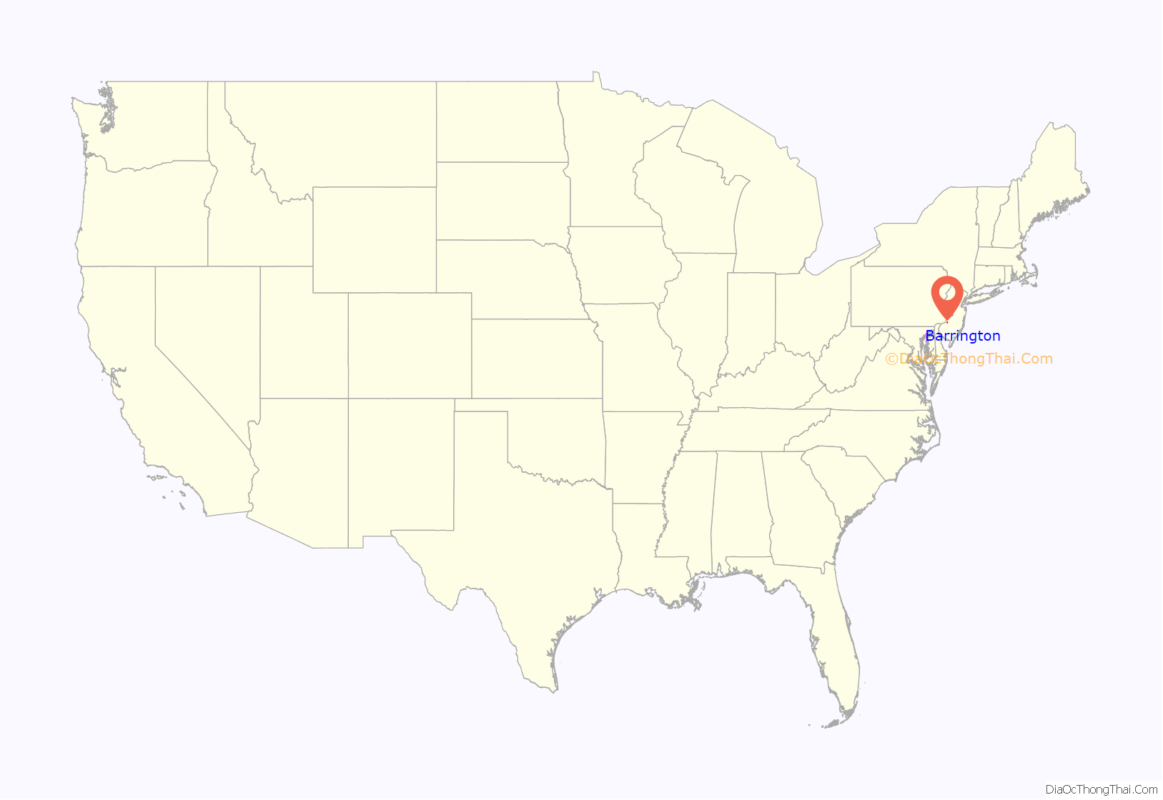
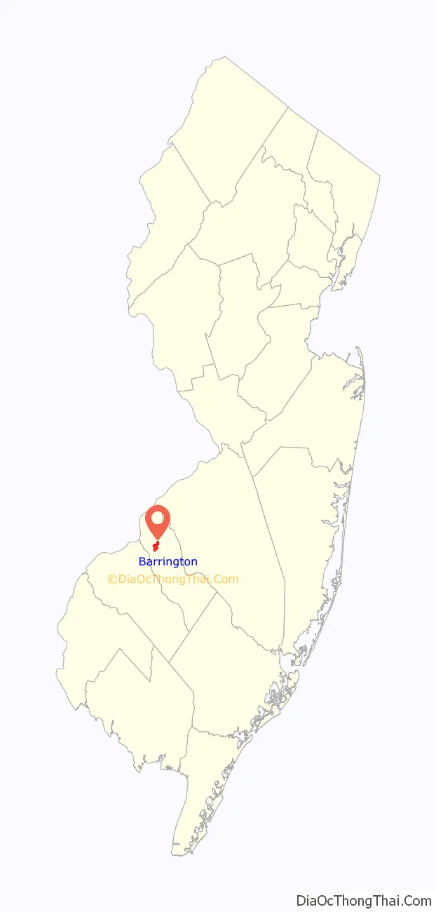
Barrington location map. Where is Barrington borough?
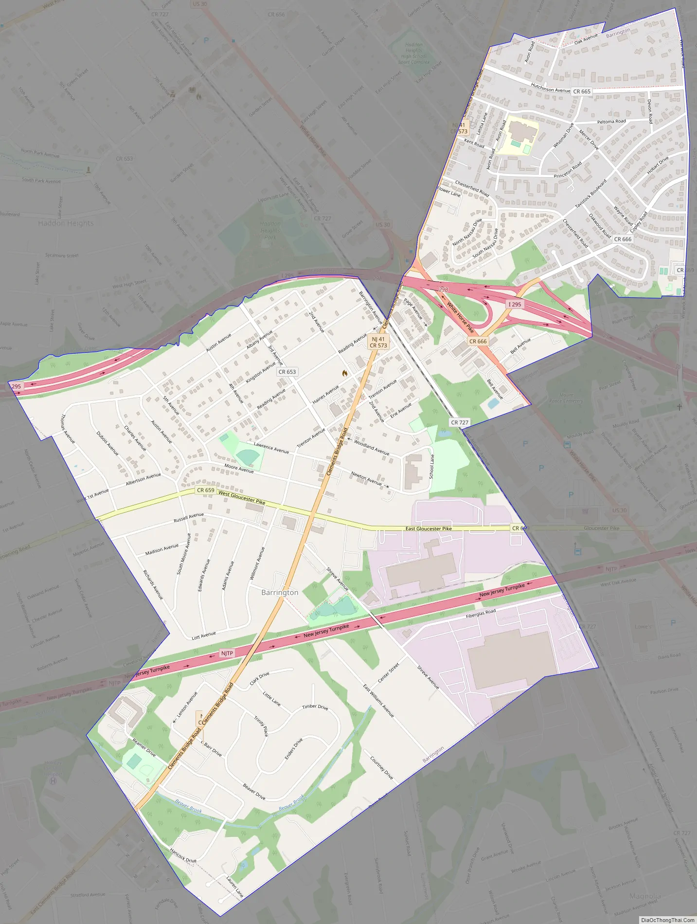
Barrington Road Map
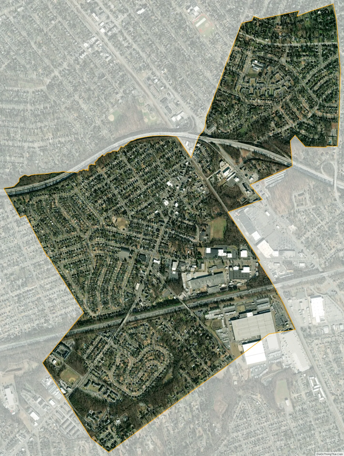
Barrington city Satellite Map
Geography
According to the United States Census Bureau, The borough had a total area of 1.58 square miles (4.10 km), all of which was land.
The borough borders the Camden County municipalities of Bellmawr, Haddon Heights, Haddonfield, Lawnside, Magnolia, Runnemede and Tavistock.
See also
Map of New Jersey State and its subdivision: Map of other states:- Alabama
- Alaska
- Arizona
- Arkansas
- California
- Colorado
- Connecticut
- Delaware
- District of Columbia
- Florida
- Georgia
- Hawaii
- Idaho
- Illinois
- Indiana
- Iowa
- Kansas
- Kentucky
- Louisiana
- Maine
- Maryland
- Massachusetts
- Michigan
- Minnesota
- Mississippi
- Missouri
- Montana
- Nebraska
- Nevada
- New Hampshire
- New Jersey
- New Mexico
- New York
- North Carolina
- North Dakota
- Ohio
- Oklahoma
- Oregon
- Pennsylvania
- Rhode Island
- South Carolina
- South Dakota
- Tennessee
- Texas
- Utah
- Vermont
- Virginia
- Washington
- West Virginia
- Wisconsin
- Wyoming


