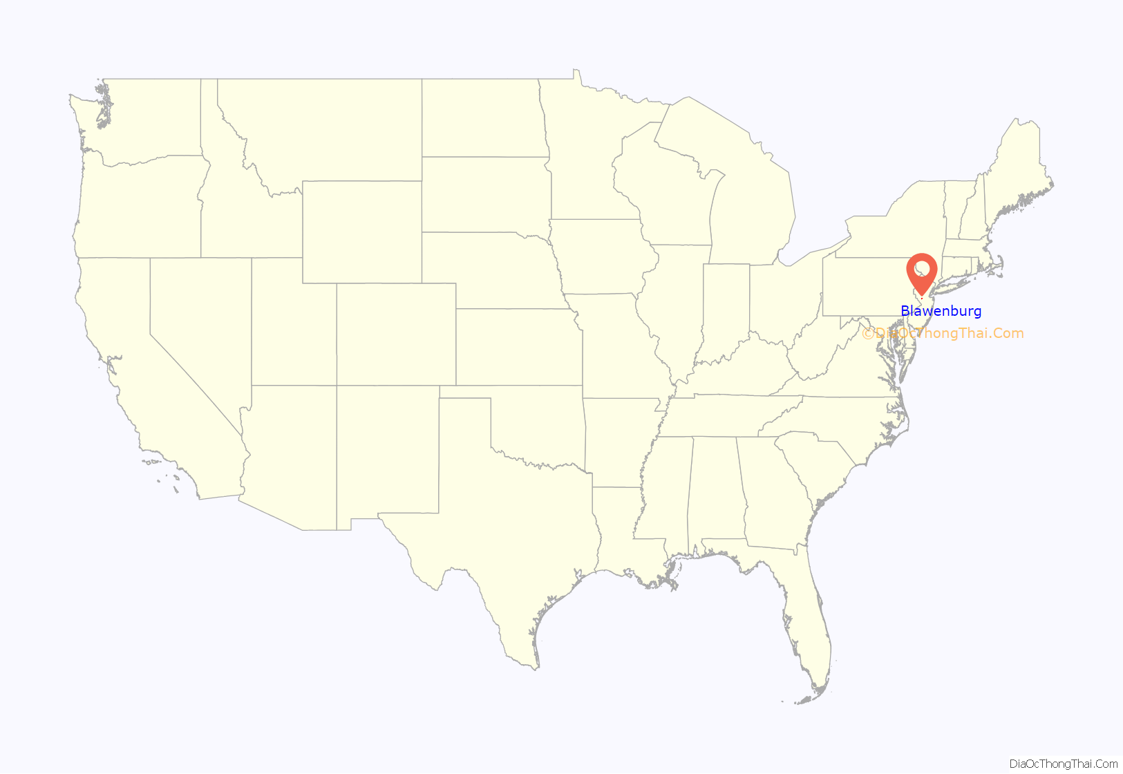
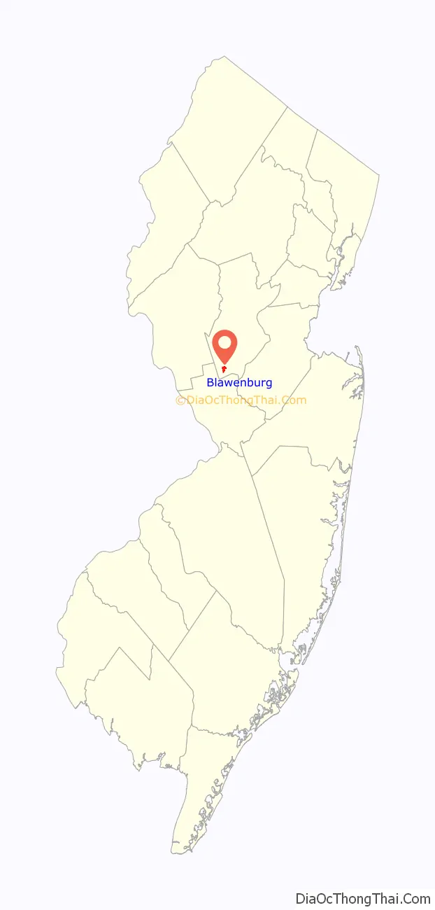
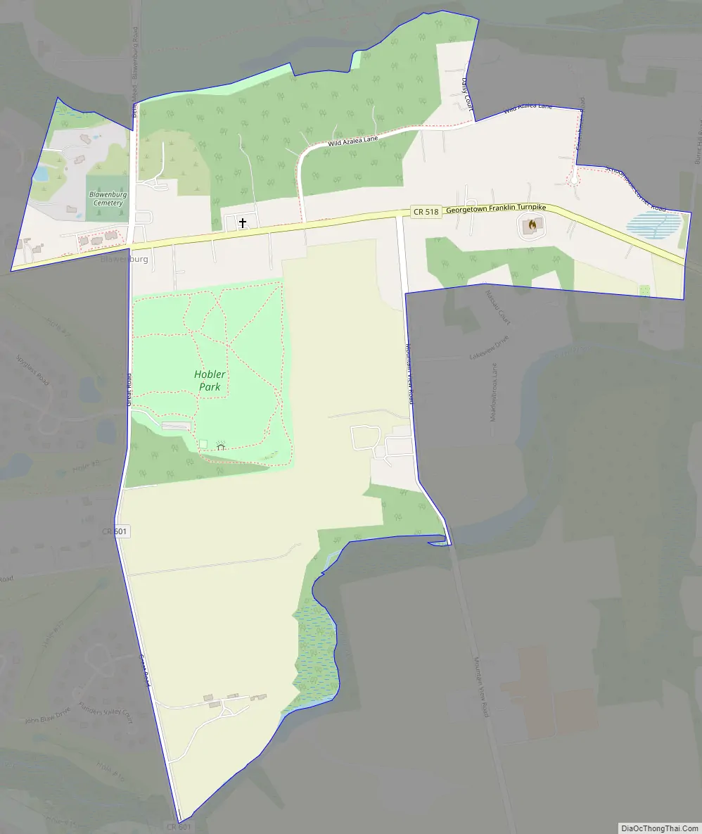
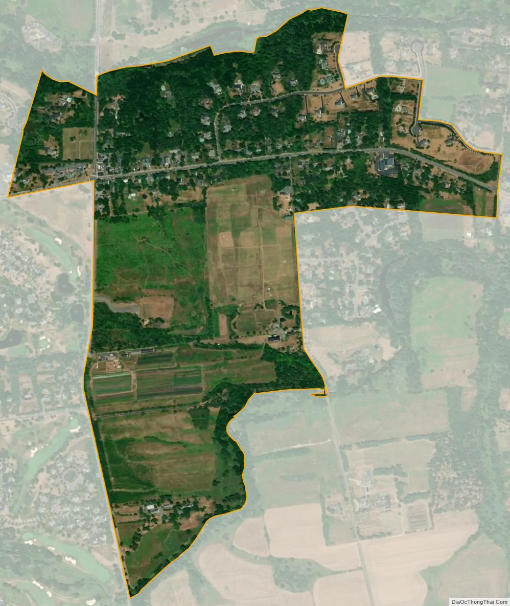
Blawenburg is an unincorporated community and census-designated place (CDP) located within Montgomery Township, in Somerset County, in the U.S. state of New Jersey. As of the 2010 United States Census, the CDP’s population was 280. It is located at the juncture of two large roads, CR 518 and CR 601.
| Name: | Blawenburg CDP |
|---|---|
| LSAD Code: | 57 |
| LSAD Description: | CDP (suffix) |
| State: | New Jersey |
| County: | Somerset County |
| Elevation: | 118 ft (36 m) |
| Total Area: | 0.61 sq mi (1.59 km²) |
| Land Area: | 0.61 sq mi (1.58 km²) |
| Water Area: | 0.00 sq mi (0.01 km²) 0.69% |
| Total Population: | 287 |
| Population Density: | 472.04/sq mi (182.20/km²) |
| ZIP code: | 08504 |
| FIPS code: | 3406190 |
| GNISfeature ID: | 02583970 |
Online Interactive Map
Click on ![]() to view map in "full screen" mode.
to view map in "full screen" mode.
Blawenburg location map. Where is Blawenburg CDP?
History
The area that was eventually known as Blawenburg was settled by John Blaw prior to 1742 when he purchased 400 acres (160 ha) of farmland from Abraham Van Horn, a merchant of New York City and a large New Jersey landholder, and 95 acres (38 ha) adjacent to this tract from Nicholas Lake of New Brunswick. John’s father was Jan Frederickse Blaw, a refugee from Holland, born in Recife, Pernambuco, Brazil, who settled in New Amsterdam where John Blaw was born. John had a son Michael who ran a mill at the point where the Great Road crosses Beden’s Brook, and it is believed that Blaw’s Mill was the origin of the name Blawenburg.
The Blawenburg Reformed Church was established here in 1832. The James Van Zandt Mansion was built 1860–1865.
Blawenburg Road Map
Blawenburg city Satellite Map
Geography
According to the United States Census Bureau, Blawenburg had a total area of 0.612 square miles (1.586 km), including 0.608 square miles (1.575 km) of land and 0.004 square miles (0.011 km) of water (0.69 percent).
See also
Map of New Jersey State and its subdivision: Map of other states:- Alabama
- Alaska
- Arizona
- Arkansas
- California
- Colorado
- Connecticut
- Delaware
- District of Columbia
- Florida
- Georgia
- Hawaii
- Idaho
- Illinois
- Indiana
- Iowa
- Kansas
- Kentucky
- Louisiana
- Maine
- Maryland
- Massachusetts
- Michigan
- Minnesota
- Mississippi
- Missouri
- Montana
- Nebraska
- Nevada
- New Hampshire
- New Jersey
- New Mexico
- New York
- North Carolina
- North Dakota
- Ohio
- Oklahoma
- Oregon
- Pennsylvania
- Rhode Island
- South Carolina
- South Dakota
- Tennessee
- Texas
- Utah
- Vermont
- Virginia
- Washington
- West Virginia
- Wisconsin
- Wyoming


