Branchville is a borough in Sussex County, in the U.S. state of New Jersey. As of the 2020 United States census, the borough’s population was 791, a decrease of 50 (−5.9%) from the 2010 census count of 841, which in turn reflected a decline of 4 (−0.5%) from the 845 counted in the 2000 census. The borough is located in the northernmost region of Sussex County.
Branchville was incorporated as a borough by an act of the New Jersey Legislature on March 9, 1898, from portions of Frankford Township. An additional portion of Frankford Township was annexed as of March 1, 1951. The borough was named for its site at a branch of the Paulins Kill.
| Name: | Branchville borough |
|---|---|
| LSAD Code: | 21 |
| LSAD Description: | borough (suffix) |
| State: | New Jersey |
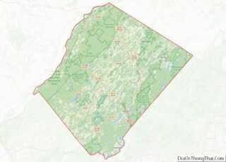
| County: | Sussex County |
| Incorporated: | March 9, 1898 |
| Elevation: | 554 ft (169 m) |
| Total Area: | 0.60 sq mi (1.55 km²) |
| Land Area: | 0.59 sq mi (1.54 km²) |
| Water Area: | 0.01 sq mi (0.02 km²) 1.17% |
| Total Population: | 791 |
| Population Density: | 1,334.3/sq mi (515.2/km²) |
| Area code: | 973 |
| FIPS code: | 3407300 |
| GNISfeature ID: | 885168 |
| Website: | www.branchville.us |
Online Interactive Map
Click on ![]() to view map in "full screen" mode.
to view map in "full screen" mode.
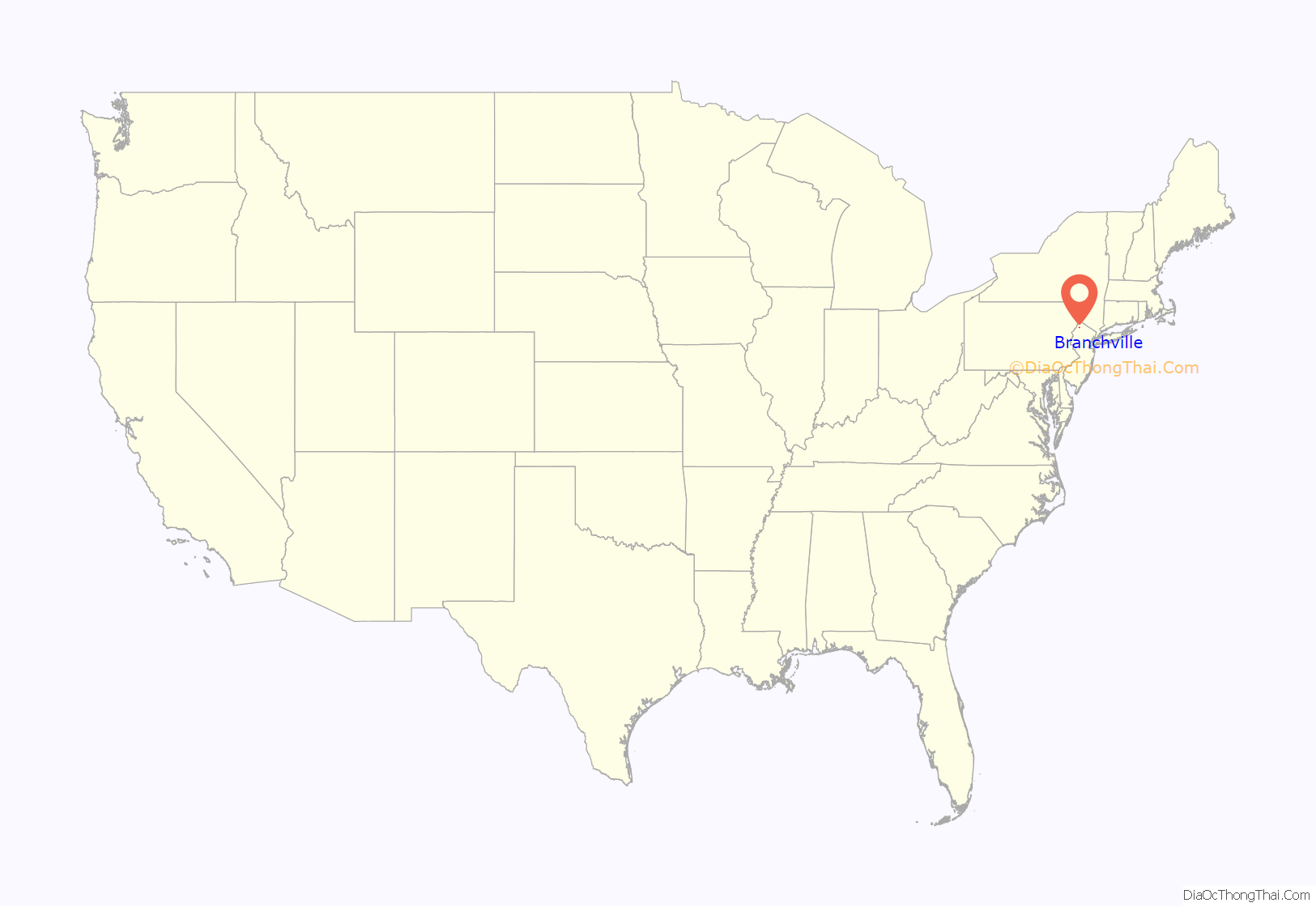
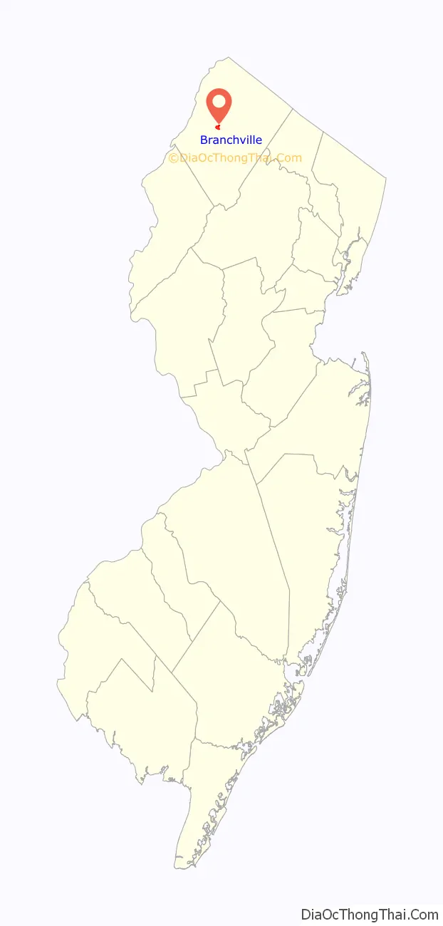
Branchville location map. Where is Branchville borough?
History
Branchville was established by settlers from Connecticut in the 18th century. It grew quickly and in the 1820s the town was divided into building lots. By the year 1844, it was a well-established community with 32 dwellings, mills, blacksmiths, an academy, a church and a variety of other factories and businesses.
The addition of two water-powered mills and a dam in 1855 furthered the town’s prosperity. Energy would later be harnessed from this dam and a second one that was built to supply Branchville with electricity and its own power company.
Extension of rail service to Branchville in 1869 brought an even greater boon to the village’s economic market growth. From 1869–1871 forty new homes were built. The railroad had made it possible to ship products from the local mills and creameries to larger urban areas to the east. With lake communities nearby the tourism was also spurred by the railroad. Up to six trains a day would bring people from the larger cities to enjoy a country vacation.
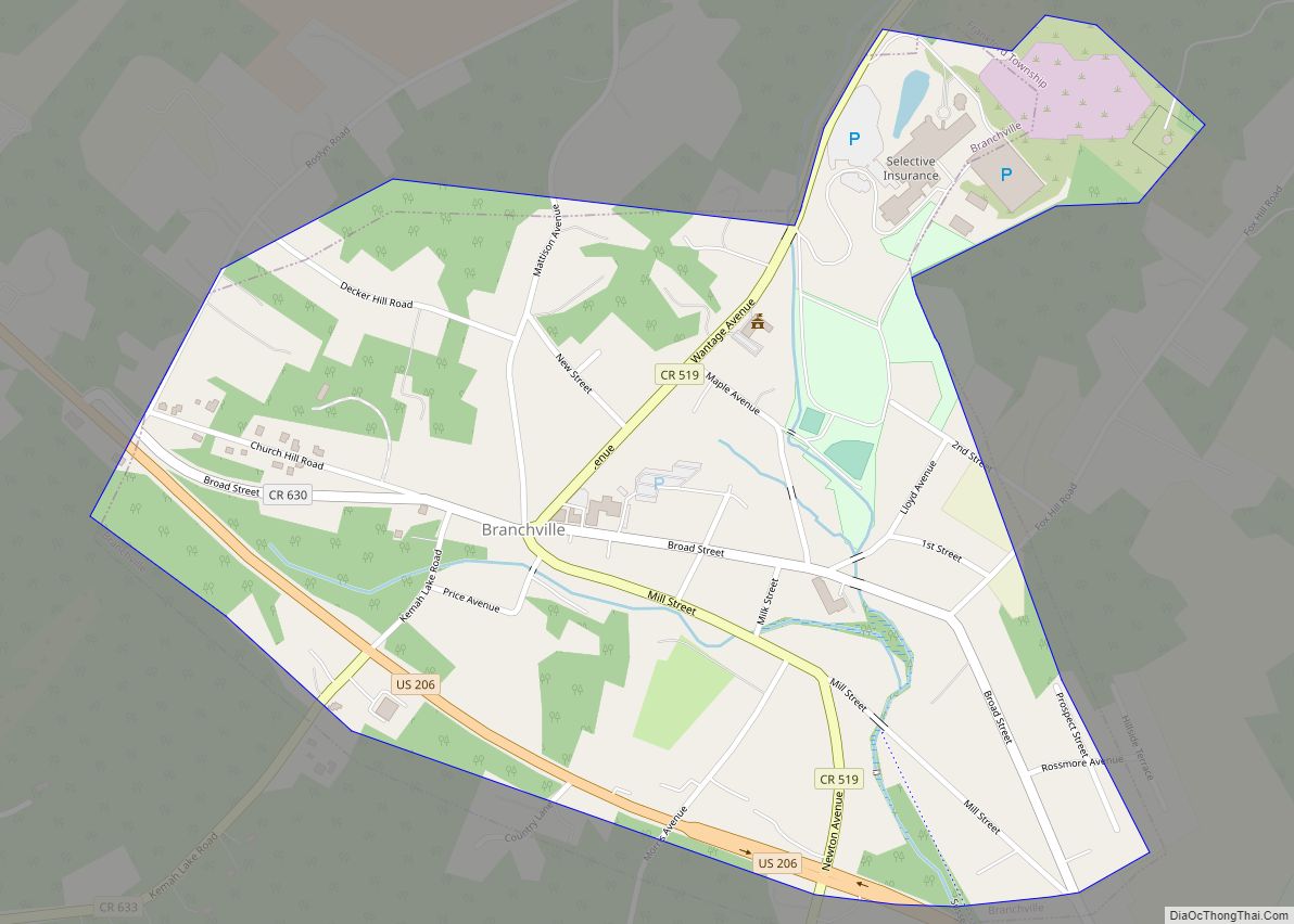
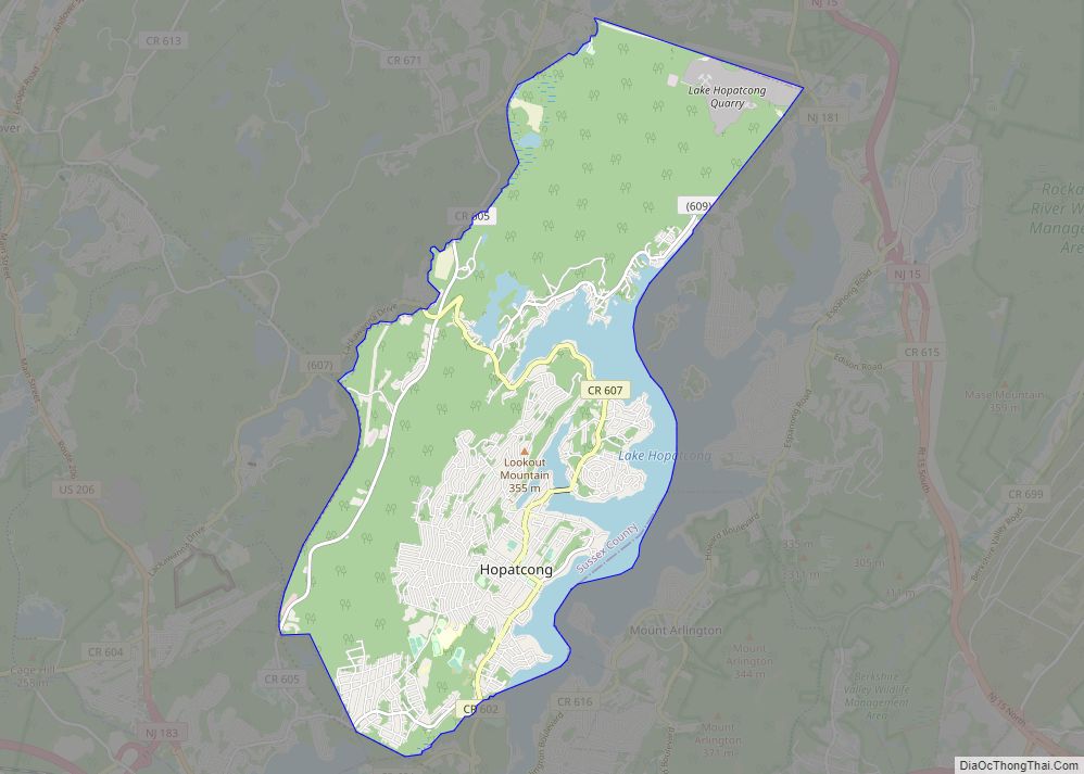
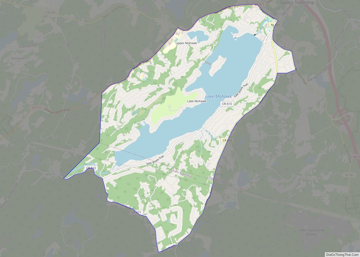
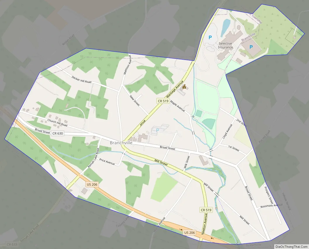
Branchville Road Map
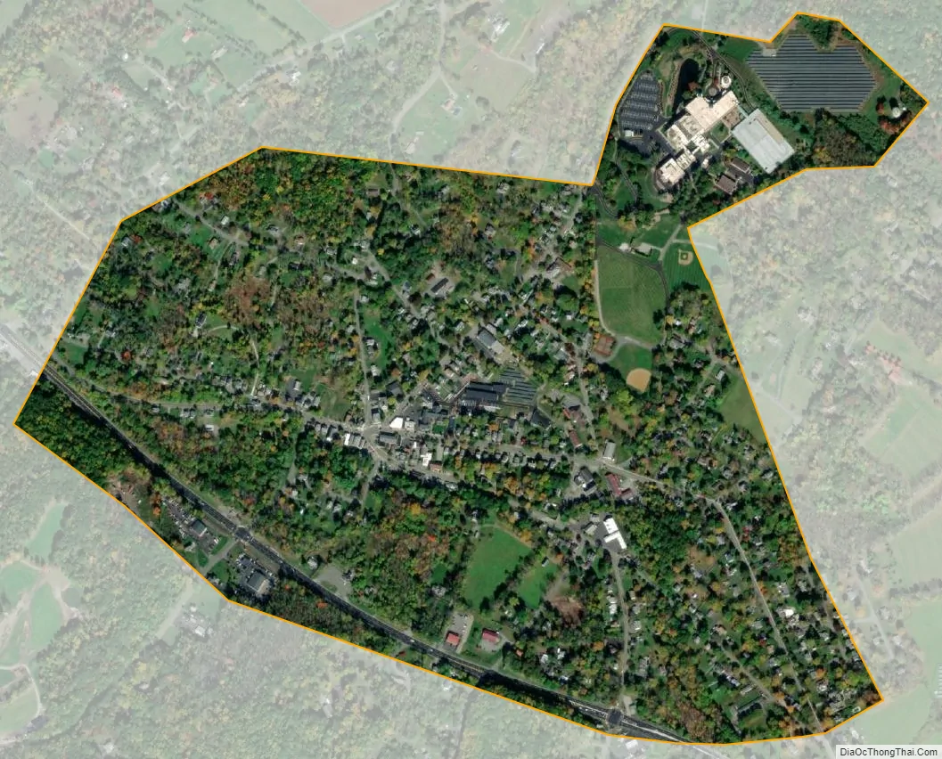
Branchville city Satellite Map
Geography
According to the United States Census Bureau, the borough had a total area of 0.60 square miles (1.55 km), including 0.59 square miles (1.53 km) of land and 0.01 square miles (0.02 km) of water (1.17%).
Branchville is an independent municipality completely surrounded by Frankford Township, making it part of 21 pairs of “doughnut towns” in the state, where one municipality entirely surrounds another.
Climate
This climatic region is typified by large seasonal temperature differences, with warm to hot (and often humid) summers and cold (sometimes severely cold) winters. According to the Köppen Climate Classification system, Branchville has a humid continental climate, abbreviated “Dfb” on climate maps.
Geology
Branchville is on the Ordovician Martinsburg Formation. This is a shale, slate, and limestone formation created 450 million years ago when a chain of volcanic islands collided with proto North America. The islands went over the North American Plate, creating the Highlands of Sussex County and the Kittatinny Valley. Millions of years of erosion occurred and there was a second event. About 400 million years ago a small continent that was long and thin, collided with proto North America creating folding and faulting. The Silurian Shawangunk conglomerate that was under a shallow sea, lifted due to pressure. The pressure created heat which melted the silica and bonded the quartz and conglomerate together, creating Kittatinny Mountain.
The Wisconsin Glacier covered all of Branchville from 21,000 BCE to 13,000 BCE, covering the top of Kittatinny Mountain. End moraines exist in Stokes State Forest, another just off Route 565 north of the Skylands Park and one about a mile south of Ross’s Corner. An esker was created when the glacier retreated due to climate warming. Many ponds and lakes created. Culver Lake was created at this time, as the drainage became blocked. Branchville is drained by Culver’s Lake Creek and Dry brook. Dry Creek starts at the Branchville Reservoir, travels south, enters into Culver’s Creek in Branchville and eventually empties into the Paulinskill. There is a chain of hills between Dry Creek and Papakatin Creek. These hills are what separate the Paulinskill River drainage system from that of the Wallkill. The drainage divide is just north of Route 206 and the goes northwest toward Branchville Reservoir. Water near Route 206 or south of Route 206 drains into the Paulinskill. Water north of Route 206 drains into the Wallkill River.
See also
Map of New Jersey State and its subdivision: Map of other states:- Alabama
- Alaska
- Arizona
- Arkansas
- California
- Colorado
- Connecticut
- Delaware
- District of Columbia
- Florida
- Georgia
- Hawaii
- Idaho
- Illinois
- Indiana
- Iowa
- Kansas
- Kentucky
- Louisiana
- Maine
- Maryland
- Massachusetts
- Michigan
- Minnesota
- Mississippi
- Missouri
- Montana
- Nebraska
- Nevada
- New Hampshire
- New Jersey
- New Mexico
- New York
- North Carolina
- North Dakota
- Ohio
- Oklahoma
- Oregon
- Pennsylvania
- Rhode Island
- South Carolina
- South Dakota
- Tennessee
- Texas
- Utah
- Vermont
- Virginia
- Washington
- West Virginia
- Wisconsin
- Wyoming