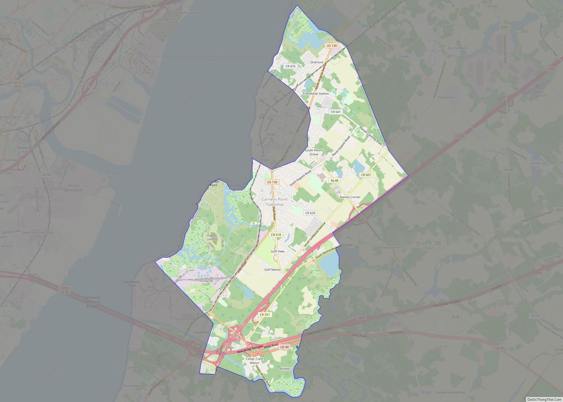
Carneys Point is an unincorporated community and census-designated place (CDP) located within Carneys Point Township, in Salem County, New Jersey, United States. As of the 2010 United States Census, the CDP’s population was 7,382.
Settled in 1727 by Irish immigrants, of which included Thomas Carney. After World War I broke out and the E.I. du Pont de Nemours plants in the area expanded, a village was constructed for the employees of the plants. This village was named after Thomas Carney.
| Name: | Carneys Point CDP |
|---|---|
| LSAD Code: | 57 |
| LSAD Description: | CDP (suffix) |
| State: | New Jersey |
| County: | Salem County |
| Elevation: | 10 ft (3 m) |
| Total Area: | 8.82 sq mi (22.86 km²) |
| Land Area: | 8.38 sq mi (21.70 km²) |
| Water Area: | 0.45 sq mi (1.15 km²) 5.00% |
| Total Population: | 7,841 |
| Population Density: | 935.79/sq mi (361.30/km²) |
| ZIP code: | 08069 |
| Area code: | 856 |
| FIPS code: | 3410600 |
| GNISfeature ID: | 0875212 |
Online Interactive Map
Click on ![]() to view map in "full screen" mode.
to view map in "full screen" mode.
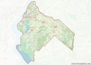
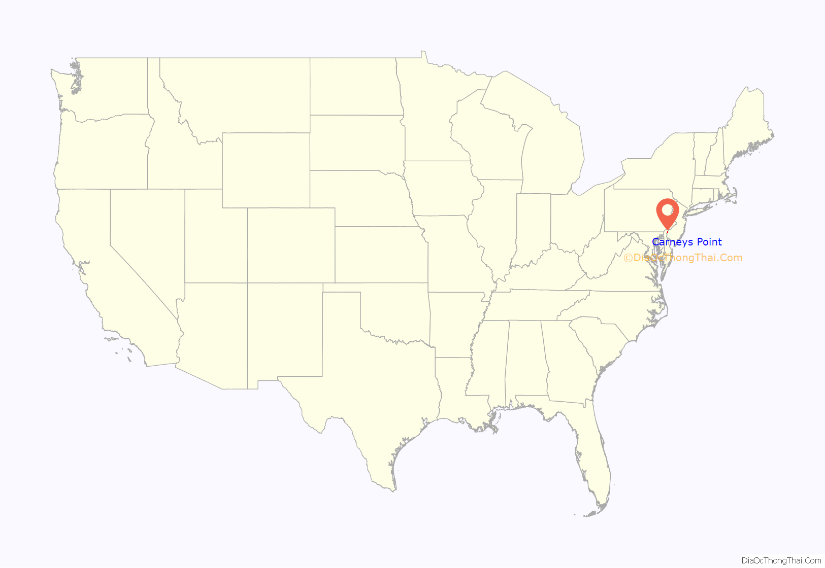
Carneys Point location map. Where is Carneys Point CDP?
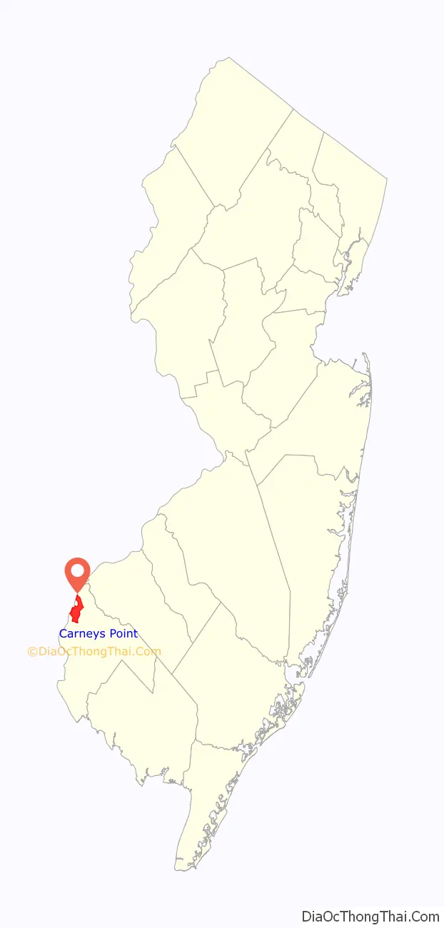
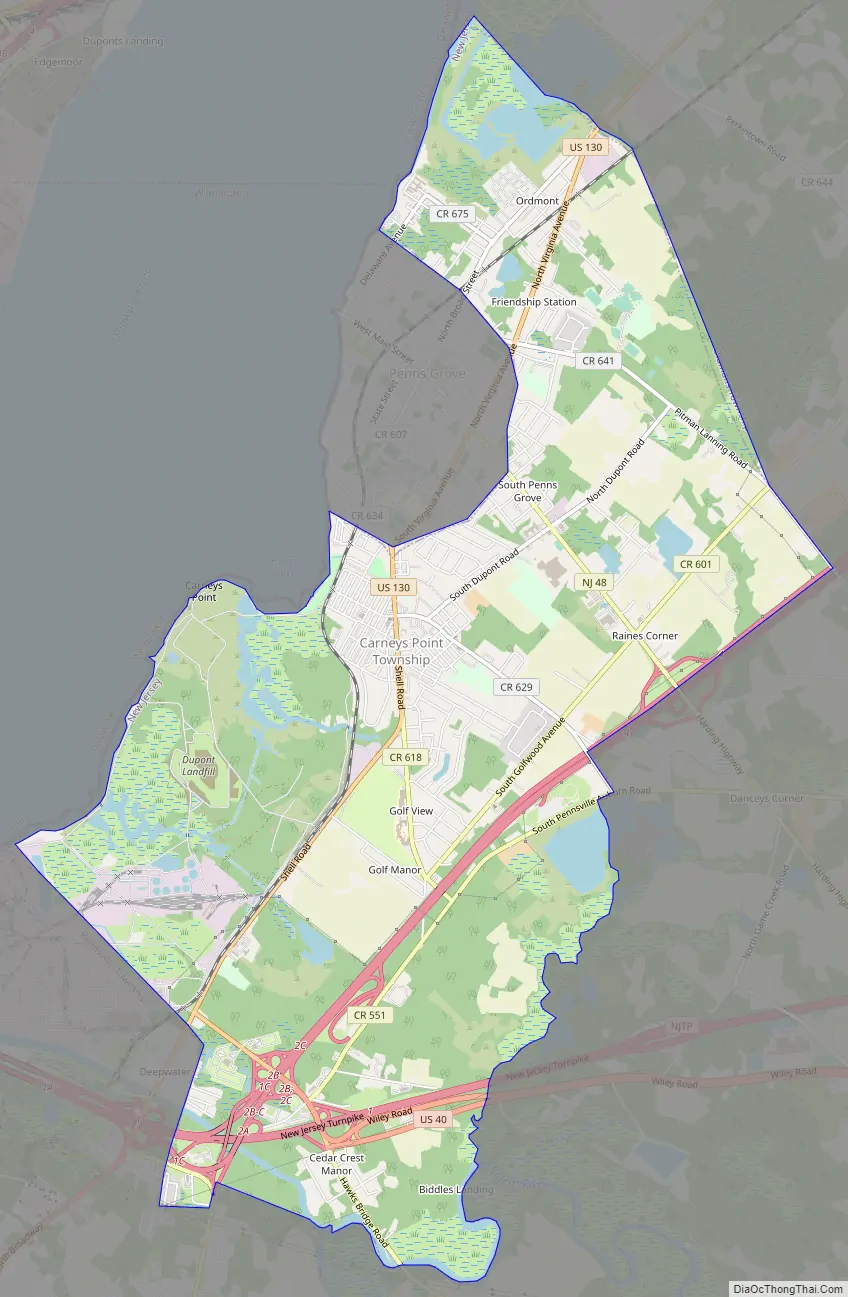
Carneys Point Road Map
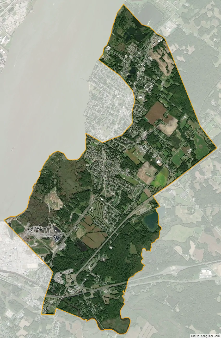
Carneys Point city Satellite Map
Geography
According to the United States Census Bureau, Carneys Point had a total area of 8.771 square miles (22.715 km), including 8.332 square miles (21.579 km) of land and 0.439 square miles (1.136 km) of water (5.00%).
See also
Map of New Jersey State and its subdivision: Map of other states:- Alabama
- Alaska
- Arizona
- Arkansas
- California
- Colorado
- Connecticut
- Delaware
- District of Columbia
- Florida
- Georgia
- Hawaii
- Idaho
- Illinois
- Indiana
- Iowa
- Kansas
- Kentucky
- Louisiana
- Maine
- Maryland
- Massachusetts
- Michigan
- Minnesota
- Mississippi
- Missouri
- Montana
- Nebraska
- Nevada
- New Hampshire
- New Jersey
- New Mexico
- New York
- North Carolina
- North Dakota
- Ohio
- Oklahoma
- Oregon
- Pennsylvania
- Rhode Island
- South Carolina
- South Dakota
- Tennessee
- Texas
- Utah
- Vermont
- Virginia
- Washington
- West Virginia
- Wisconsin
- Wyoming