Chesilhurst is a borough in Camden County, in the U.S. state of New Jersey. As of the 2020 United States census, the borough’s population was 1,536, a decrease of 98 (−6.0%) from the 2010 census count of 1,634, which in turn reflected an increase of 114 (+7.5%) from the 1,520 counted in the 2000 census.
Chesilhurst was incorporated as a borough by an act of the New Jersey Legislature on November 26, 1887, from portions of Waterford Township and Winslow Township, based on the results of a referendum held on October 18, 1887.
New Jersey Monthly magazine ranked Chesilhurst the worst town in the state in its 2008 rankings of “Best Places to Live” in New Jersey (placing at # 566 of 566).
| Name: | Chesilhurst borough |
|---|---|
| LSAD Code: | 21 |
| LSAD Description: | borough (suffix) |
| State: | New Jersey |
| County: | Camden County |
| Incorporated: | November 26, 1887 |
| Elevation: | 151 ft (46 m) |
| Total Area: | 1.72 sq mi (4.45 km²) |
| Land Area: | 1.72 sq mi (4.44 km²) |
| Water Area: | 0.00 sq mi (0.00 km²) 0.12% |
| Total Population: | 1,536 |
| Population Density: | 895.4/sq mi (345.7/km²) |
| ZIP code: | 08089 |
| Area code: | 856 |
| FIPS code: | 3412550 |
| GNISfeature ID: | 0885183 |
| Website: | www.chesilhurstgov.net |
Online Interactive Map
Click on ![]() to view map in "full screen" mode.
to view map in "full screen" mode.
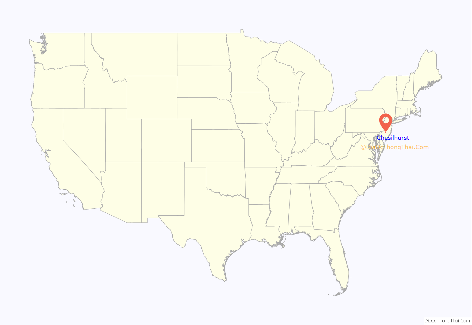
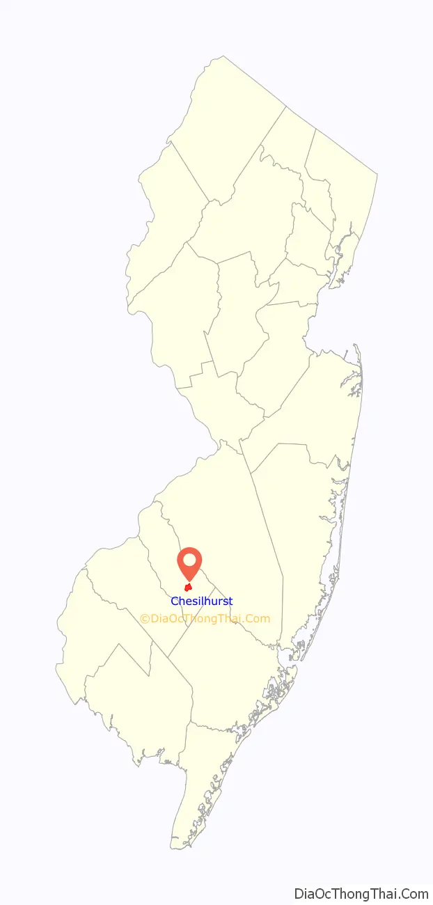
Chesilhurst location map. Where is Chesilhurst borough?
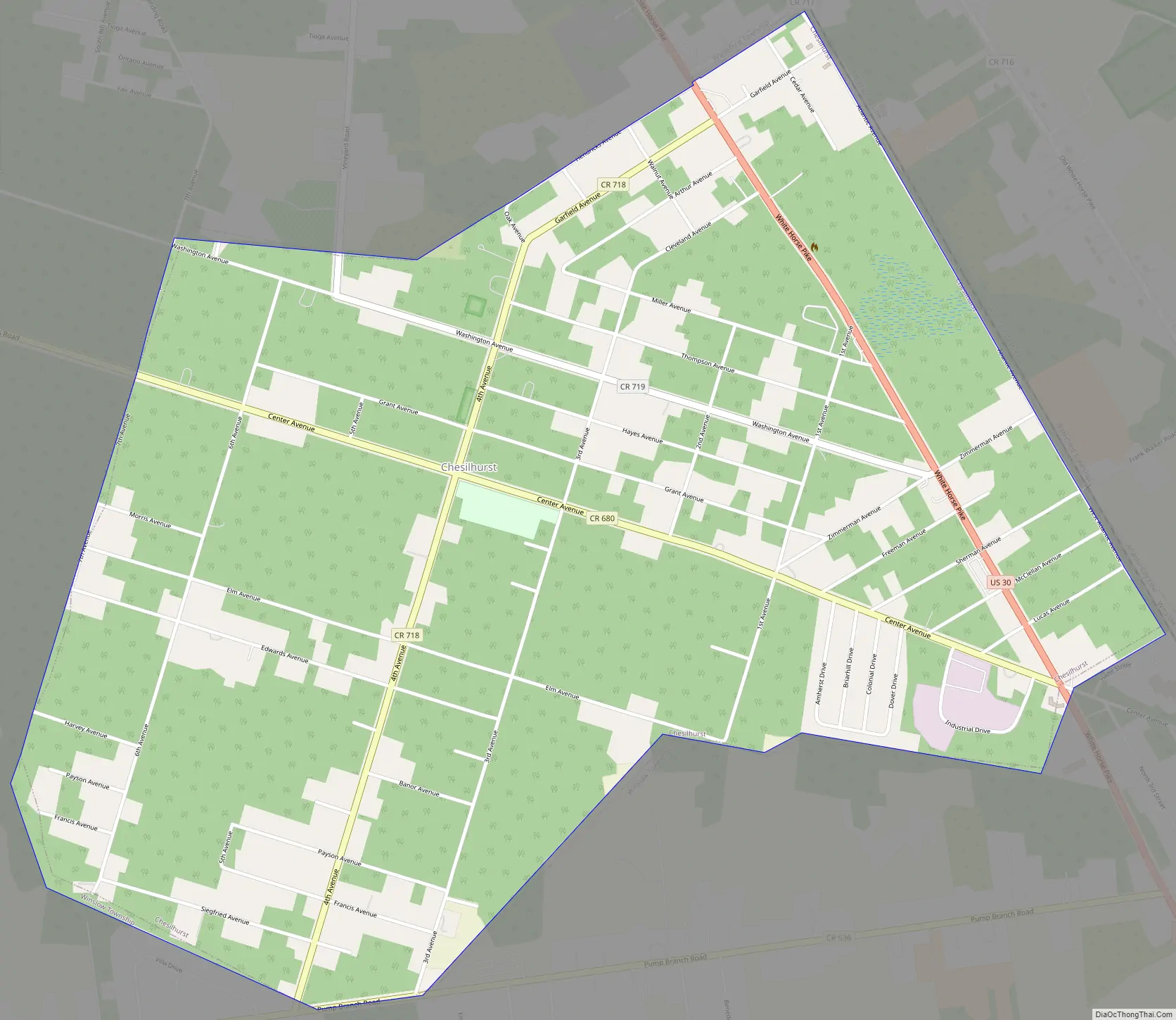
Chesilhurst Road Map
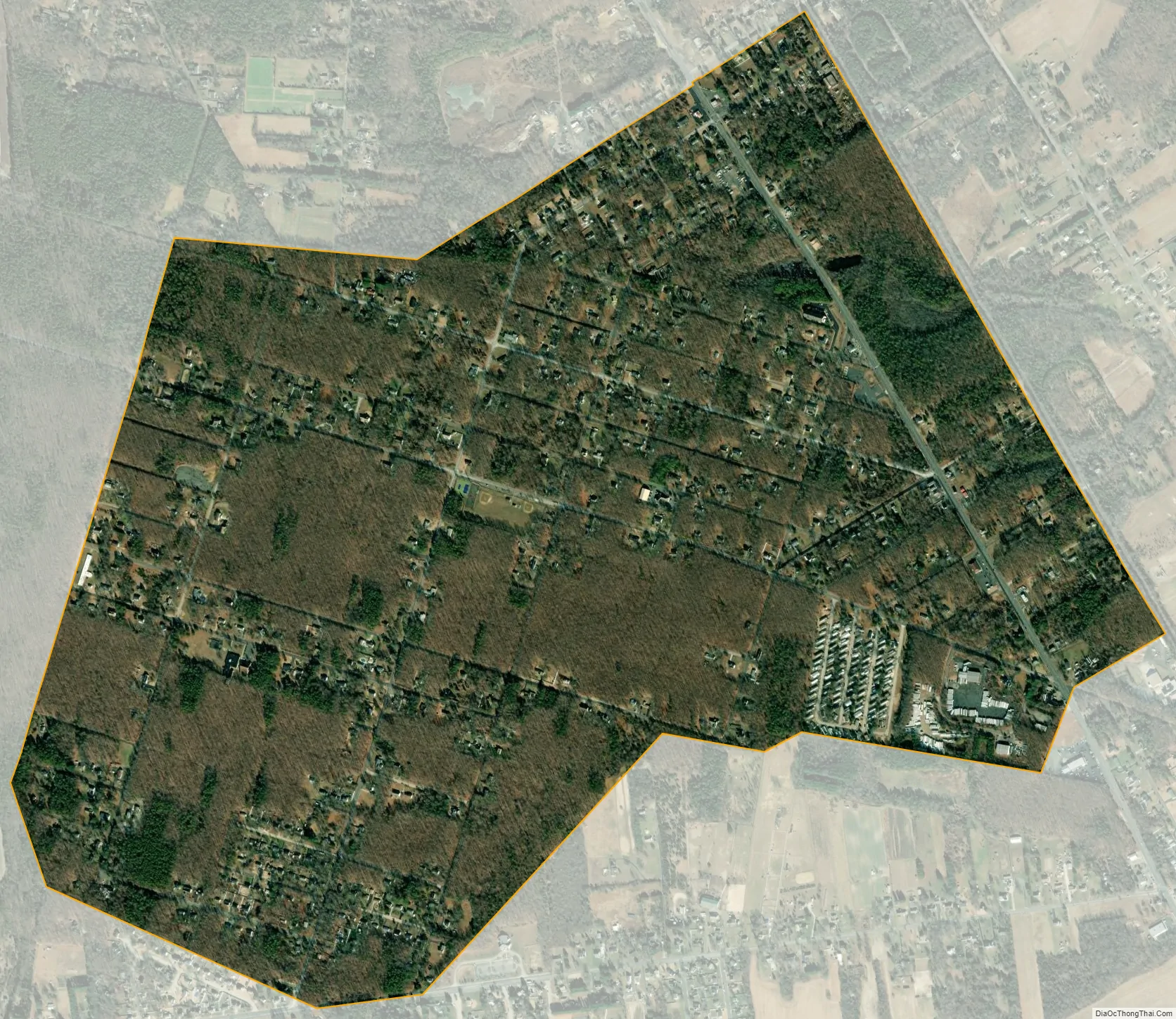
Chesilhurst city Satellite Map
Geography
According to the U.S. Census Bureau, the borough had a total area of 1.72 square miles (4.45 km), including 1.72 square miles (4.44 km) of land and <0.01 square miles (<0.01 km) of water (0.12%).
The borough borders both Waterford Township and Winslow Township.
See also
Map of New Jersey State and its subdivision: Map of other states:- Alabama
- Alaska
- Arizona
- Arkansas
- California
- Colorado
- Connecticut
- Delaware
- District of Columbia
- Florida
- Georgia
- Hawaii
- Idaho
- Illinois
- Indiana
- Iowa
- Kansas
- Kentucky
- Louisiana
- Maine
- Maryland
- Massachusetts
- Michigan
- Minnesota
- Mississippi
- Missouri
- Montana
- Nebraska
- Nevada
- New Hampshire
- New Jersey
- New Mexico
- New York
- North Carolina
- North Dakota
- Ohio
- Oklahoma
- Oregon
- Pennsylvania
- Rhode Island
- South Carolina
- South Dakota
- Tennessee
- Texas
- Utah
- Vermont
- Virginia
- Washington
- West Virginia
- Wisconsin
- Wyoming


