Clementon is a borough in Camden County, in the U.S. state of New Jersey. As of the 2020 United States census, the borough’s population was 5,338, an increase of 338 (+6.8%) from the 2010 census count of 5,000, which in turn reflected an increase of 14 (+0.3%) from the 4,986 counted in the 2000 census.
The borough had the 27th-highest property tax rate in New Jersey, with an equalized rate of 4.179% in 2020, compared to 3.470% in the county as a whole and a statewide average of 2.279%.
| Name: | Clementon borough |
|---|---|
| LSAD Code: | 21 |
| LSAD Description: | borough (suffix) |
| State: | New Jersey |
| County: | Camden County |
| Incorporated: | March 17, 1925 |
| Elevation: | 72 ft (22 m) |
| Total Area: | 1.95 sq mi (5.05 km²) |
| Land Area: | 1.89 sq mi (4.90 km²) |
| Water Area: | 0.06 sq mi (0.15 km²) 2.97% |
| Total Population: | 5,338 |
| Population Density: | 2,819.9/sq mi (1,088.8/km²) |
| ZIP code: | 08021 |
| Area code: | 856 |
| FIPS code: | 3413420 |
| GNISfeature ID: | 0885186 |
| Website: | www.clementon-nj.com |
Online Interactive Map
Click on ![]() to view map in "full screen" mode.
to view map in "full screen" mode.
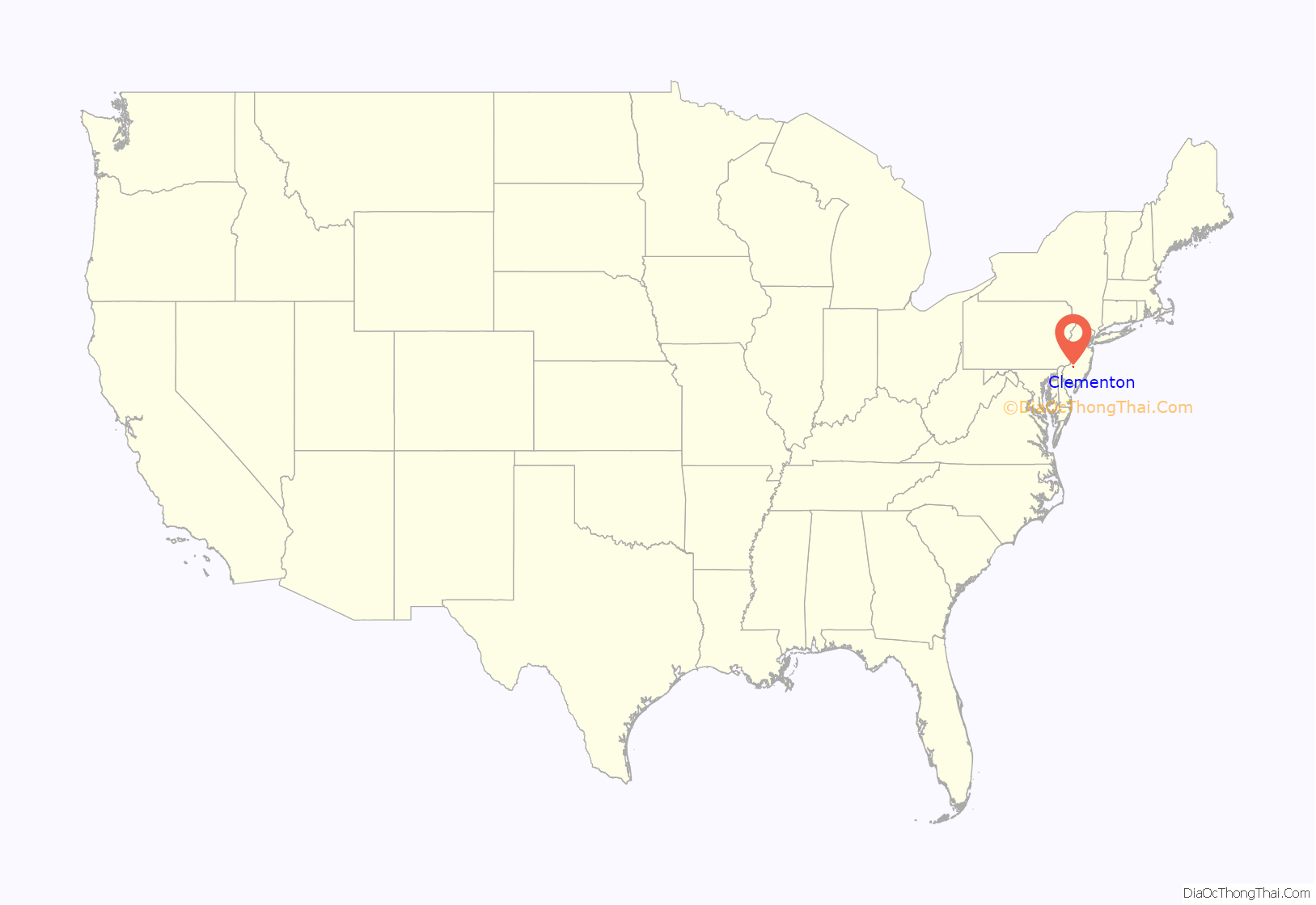
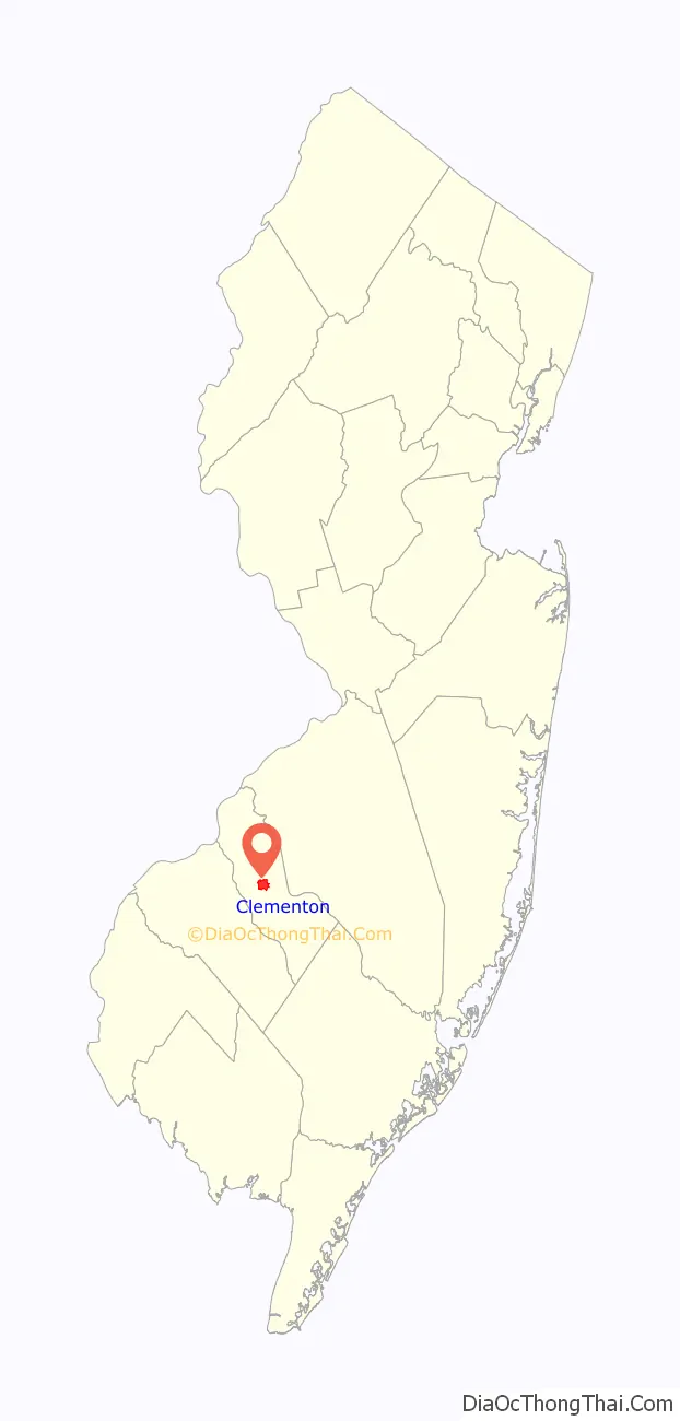
Clementon location map. Where is Clementon borough?
History
Around 1800, Jonathon Haines built a glass factory in what is now Clementon, situated on a large hill across the street from the modern day Clementon Park. Large amounts of dirt, gravel and marl from the large hill the glass works were situated on were removed for use at a planned new post office in 1961. Sometime around 1811, Samuel Clement of Haddonfield purchased the glass works and named them the Gloucester Glass works, and named the small settlement around the plant as Clementon village. Haines remained as a superintendent and at some point repurchased the works from Clement.
The Borough of Clementon was created on February 13, 1925, from Clementon Township, one of nine municipalities created from the now-defunct township, based on the results of a referendum held on March 17, 1925.
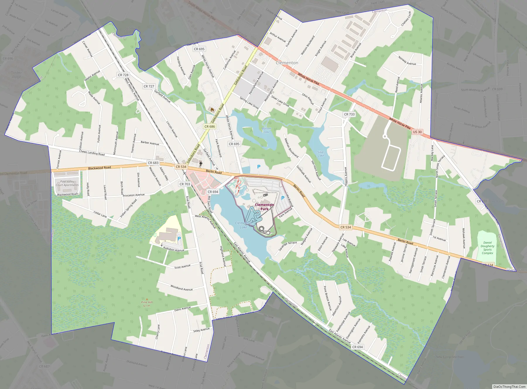
Clementon Road Map
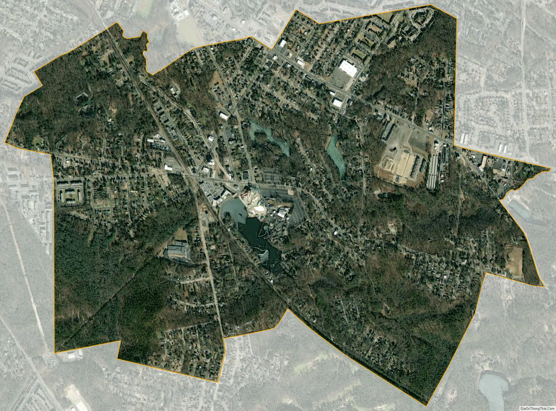
Clementon city Satellite Map
Geography
According to the United States Census Bureau, the borough had a total area of 1.95 square miles (5.05 km), including 1.89 square miles (4.90 km) of land and 0.06 square miles (0.15 km) of water (2.97%).
The borough is located on Clementon Lake, which is the site of the Clementon Amusement Park. The amusement park was home to the Jack Rabbit, a wooden roller coaster constructed in 1919 by the Philadelphia Toboggan Company. Though quite tame in comparison to modern steel coasters, it remained popular with park visitors. It was one of the oldest remaining coasters in the country when it was taken out of service in 2002 and ultimately demolished in 2007.
Rowands Pond Wildlife Management Area, covering 12.98 acres (5.25 ha), is located in Clementon.
Unincorporated communities, localities and place names located partially or completely within the borough include Brownsville and Gordon Lake.
Clementon borders Berlin Borough, Lindenwold, Pine Hill and Pine Valley.
See also
Map of New Jersey State and its subdivision: Map of other states:- Alabama
- Alaska
- Arizona
- Arkansas
- California
- Colorado
- Connecticut
- Delaware
- District of Columbia
- Florida
- Georgia
- Hawaii
- Idaho
- Illinois
- Indiana
- Iowa
- Kansas
- Kentucky
- Louisiana
- Maine
- Maryland
- Massachusetts
- Michigan
- Minnesota
- Mississippi
- Missouri
- Montana
- Nebraska
- Nevada
- New Hampshire
- New Jersey
- New Mexico
- New York
- North Carolina
- North Dakota
- Ohio
- Oklahoma
- Oregon
- Pennsylvania
- Rhode Island
- South Carolina
- South Dakota
- Tennessee
- Texas
- Utah
- Vermont
- Virginia
- Washington
- West Virginia
- Wisconsin
- Wyoming


