Dayton is an unincorporated community and census-designated place (CDP) located within South Brunswick, in Middlesex County, New Jersey, United States. At the 2010 United States Census, the CDP’s population was 7,063.
Dayton has a post office with its own ZIP code (08810) that encompasses the entire CDP, as well as some surrounding areas. The community was named for William L. Dayton, a local attorney who later served in the United States Senate or for Jonathan Dayton, the youngest person to sign the United States Constitution, who later served as a United States Senator from New Jersey. The area had been known as Cross Roads and was renamed in 1866 to avoid confusion with mail that was sent to another post office that shared the name.
| Name: | Dayton CDP |
|---|---|
| LSAD Code: | 57 |
| LSAD Description: | CDP (suffix) |
| State: | New Jersey |
| County: | Middlesex County |
| Elevation: | 105 ft (32 m) |
| Total Area: | 2.43 sq mi (6.30 km²) |
| Land Area: | 2.41 sq mi (6.24 km²) |
| Water Area: | 0.03 sq mi (0.07 km²) 0.13% |
| Total Population: | 8,138 |
| Population Density: | 3,380.97/sq mi (1,305.18/km²) |
| ZIP code: | 08810 |
| Area code: | 732/848 |
| FIPS code: | 3416630 |
| GNISfeature ID: | 02389397 |
Online Interactive Map
Click on ![]() to view map in "full screen" mode.
to view map in "full screen" mode.
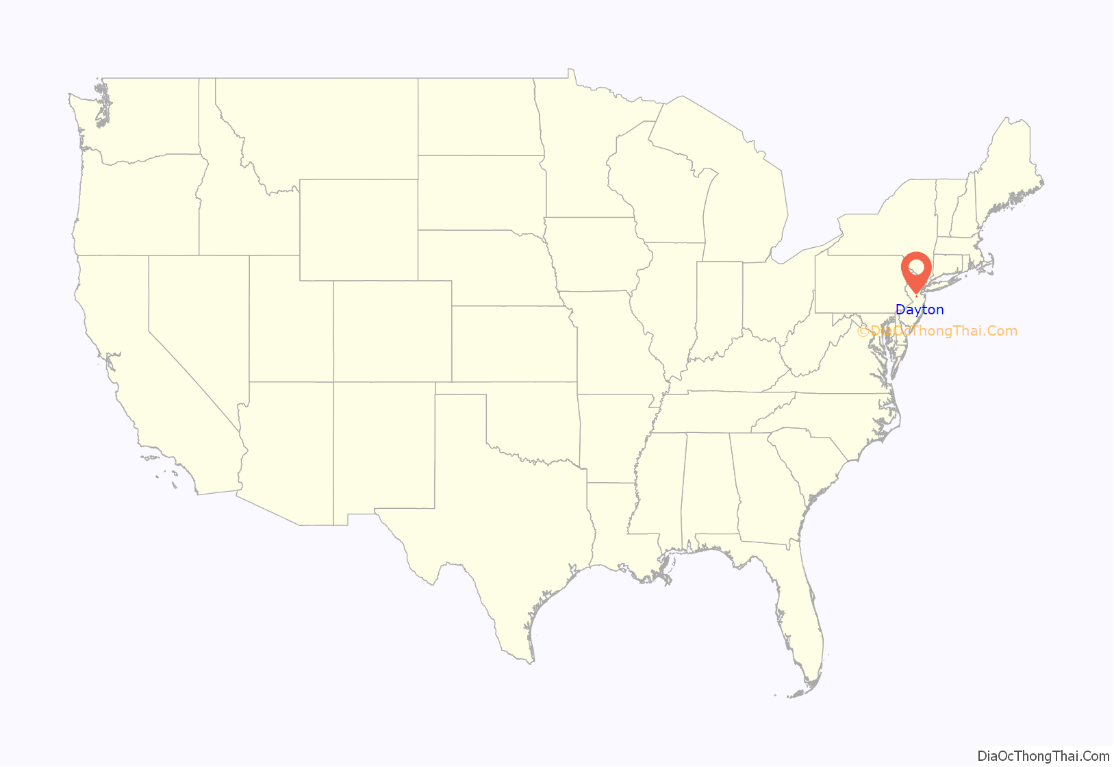
Dayton location map. Where is Dayton CDP?
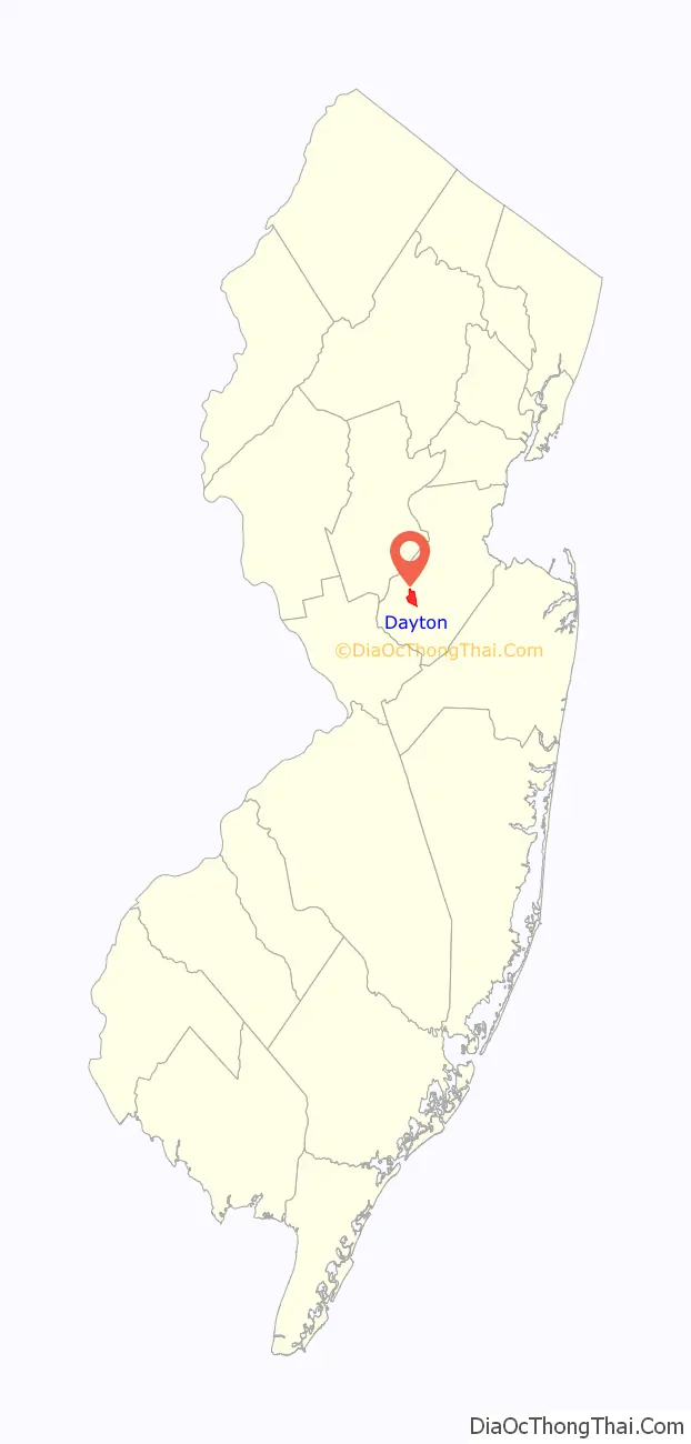
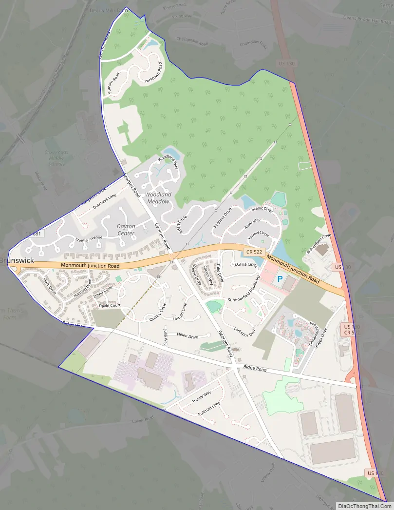
Dayton Road Map
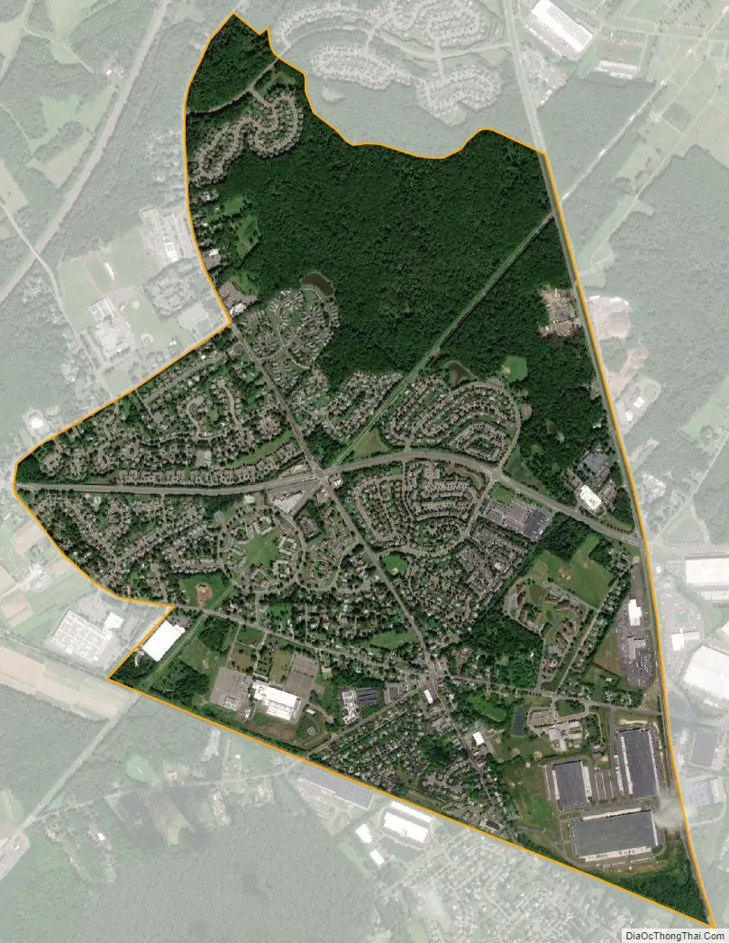
Dayton city Satellite Map
Geography
According to the United States Census Bureau, the CDP had a total area of 2.102 square miles (5.443 km), including 2.099 square miles (5.436 km) of land and 0.003 square miles (0.007 km) of water (0.13%).
See also
Map of New Jersey State and its subdivision: Map of other states:- Alabama
- Alaska
- Arizona
- Arkansas
- California
- Colorado
- Connecticut
- Delaware
- District of Columbia
- Florida
- Georgia
- Hawaii
- Idaho
- Illinois
- Indiana
- Iowa
- Kansas
- Kentucky
- Louisiana
- Maine
- Maryland
- Massachusetts
- Michigan
- Minnesota
- Mississippi
- Missouri
- Montana
- Nebraska
- Nevada
- New Hampshire
- New Jersey
- New Mexico
- New York
- North Carolina
- North Dakota
- Ohio
- Oklahoma
- Oregon
- Pennsylvania
- Rhode Island
- South Carolina
- South Dakota
- Tennessee
- Texas
- Utah
- Vermont
- Virginia
- Washington
- West Virginia
- Wisconsin
- Wyoming


