East Millstone is an unincorporated community and census-designated place (CDP) located in Franklin Township in Somerset County, New Jersey.
As of the 2010 U.S. census, the CDP’s population was 579. It is a small rural community that grew and prospered with a small industrial base in the 19th Century, centered on the Delaware and Raritan Canal at Amwell Road and the long-abandoned Millstone and New Brunswick Railroad that terminated in East Millstone. East Millstone was an independent municipality from 1873–1949. The East Millstone Historic District was listed on the National Register of Historic Places in 1983.
| Name: | East Millstone CDP |
|---|---|
| LSAD Code: | 57 |
| LSAD Description: | CDP (suffix) |
| State: | New Jersey |
| County: | Somerset County |
| Incorporated: | February 18, 1873 |
| Elevation: | 85 ft (26 m) |
| Total Area: | 2.30 sq mi (5.95 km²) |
| Land Area: | 2.23 sq mi (5.78 km²) |
| Water Area: | 0.06 sq mi (0.16 km²) 2.70% |
| Total Population: | 588 |
| Population Density: | 263.21/sq mi (101.65/km²) |
| Area code: | 609/640 and 732/848 |
| FIPS code: | 3419330 |
| GNISfeature ID: | 02583985 |
Online Interactive Map
Click on ![]() to view map in "full screen" mode.
to view map in "full screen" mode.
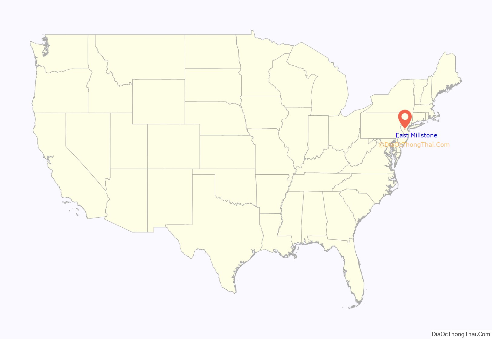
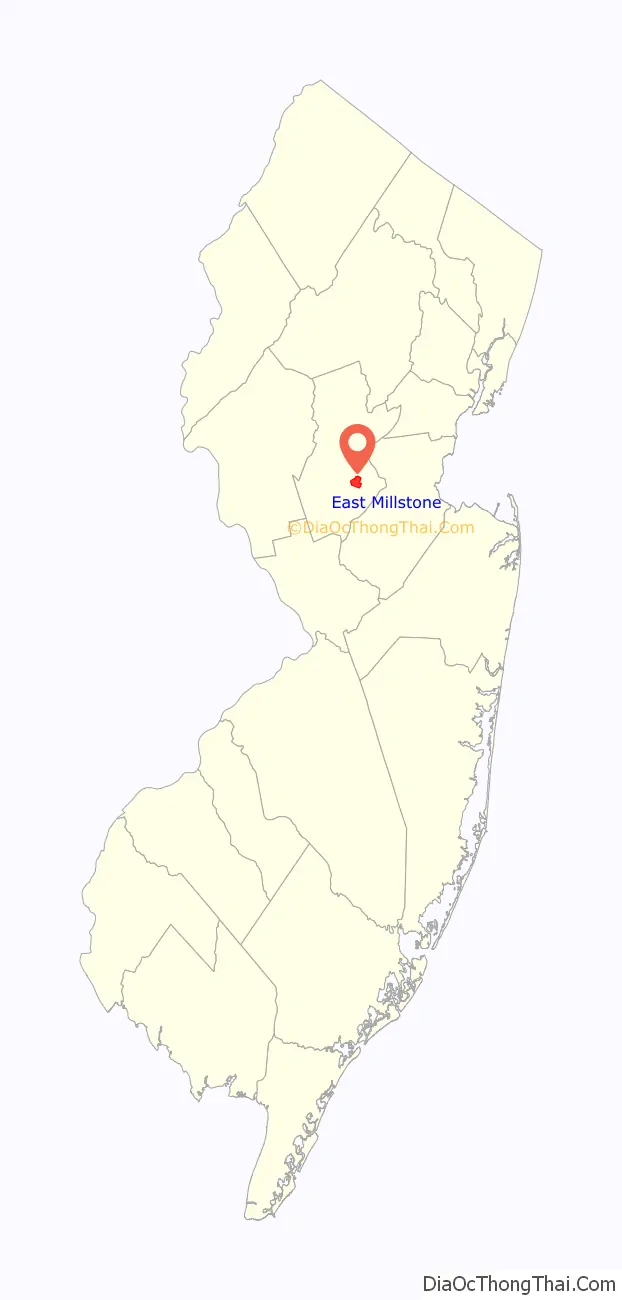
East Millstone location map. Where is East Millstone CDP?
History
East Millstone existed as an independent municipality for more than 75 years. It was incorporated as a town by an act of the New Jersey Legislature on February 18, 1873, from portions of Franklin Township, and existed on its own until December 31, 1949, when it was returned to Franklin Township. The residents voted 119–28 in favor of dissolution on March 9, 1949.
The independent municipality of Millstone, New Jersey, a borough which is not part of Franklin Township, is located across the Millstone River, which is directly west of the Delaware and Raritan Canal.
East Millstone maintains its rural character into the 21st Century, with a firehouse, a post office and just a handful of local businesses. The housing stock is also quite old, with no new development in the East Millstone section of Franklin Township in recent years.
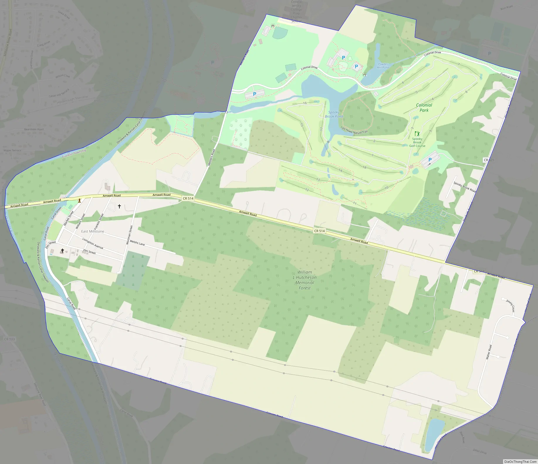
East Millstone Road Map
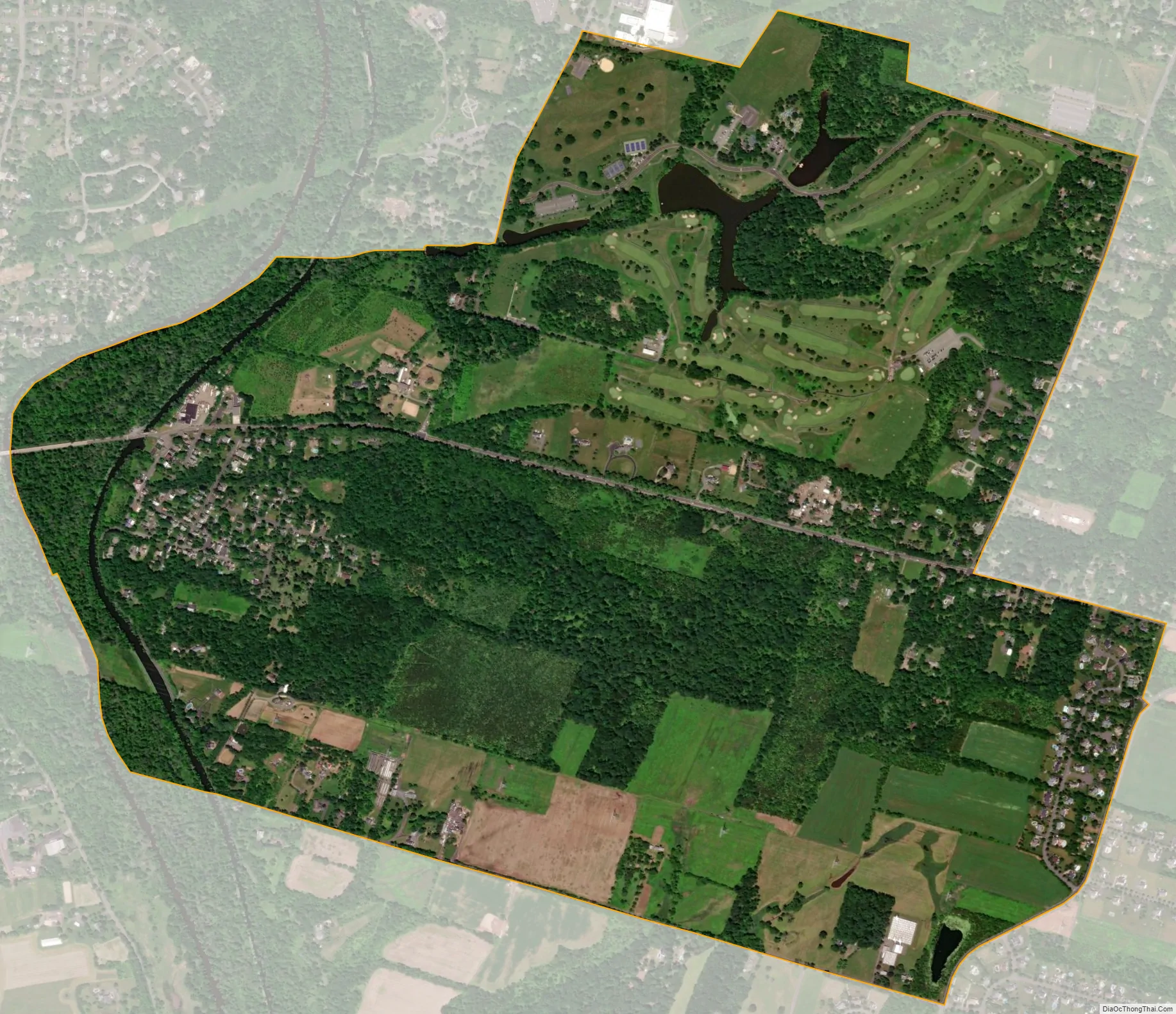
East Millstone city Satellite Map
Geography
According to the U.S. Census Bureau, East Millstone had a total area of 2.296 square miles (5.946 km), including 2.234 square miles (5.785 km) of land and 0.062 square miles (0.161 km) of water (2.70%).
See also
Map of New Jersey State and its subdivision: Map of other states:- Alabama
- Alaska
- Arizona
- Arkansas
- California
- Colorado
- Connecticut
- Delaware
- District of Columbia
- Florida
- Georgia
- Hawaii
- Idaho
- Illinois
- Indiana
- Iowa
- Kansas
- Kentucky
- Louisiana
- Maine
- Maryland
- Massachusetts
- Michigan
- Minnesota
- Mississippi
- Missouri
- Montana
- Nebraska
- Nevada
- New Hampshire
- New Jersey
- New Mexico
- New York
- North Carolina
- North Dakota
- Ohio
- Oklahoma
- Oregon
- Pennsylvania
- Rhode Island
- South Carolina
- South Dakota
- Tennessee
- Texas
- Utah
- Vermont
- Virginia
- Washington
- West Virginia
- Wisconsin
- Wyoming


