Echelon is an unincorporated community and census-designated place (CDP) located within Voorhees Township in Camden County, New Jersey, United States. As of the 2010 United States Census, the CDP’s population was 10,743.
The Voorhees Town Center (formerly known as Echelon Mall) is located in Echelon. The mall offers 730,000 square feet (68,000 m) of shopping, with Boscov’s as the only anchor store as of 2017, as well as the Voorhees Township municipal offices.
| Name: | Echelon CDP |
|---|---|
| LSAD Code: | 57 |
| LSAD Description: | CDP (suffix) |
| State: | New Jersey |
| County: | Camden County |
| Elevation: | 85 ft (26 m) |
| Total Area: | 2.84 sq mi (7.35 km²) |
| Land Area: | 2.80 sq mi (7.24 km²) |
| Water Area: | 0.04 sq mi (0.11 km²) 0.84% |
| Total Population: | 11,896 |
| Population Density: | 4,253.13/sq mi (1,642.35/km²) |
| ZIP code: | 08043 – Voorhees |
| Area code: | 856 |
| FIPS code: | 3419900 |
| GNISfeature ID: | 02389457 |
Online Interactive Map
Click on ![]() to view map in "full screen" mode.
to view map in "full screen" mode.
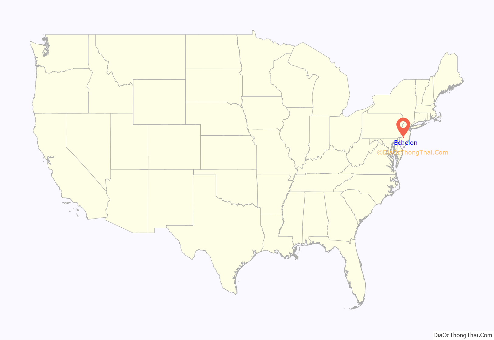
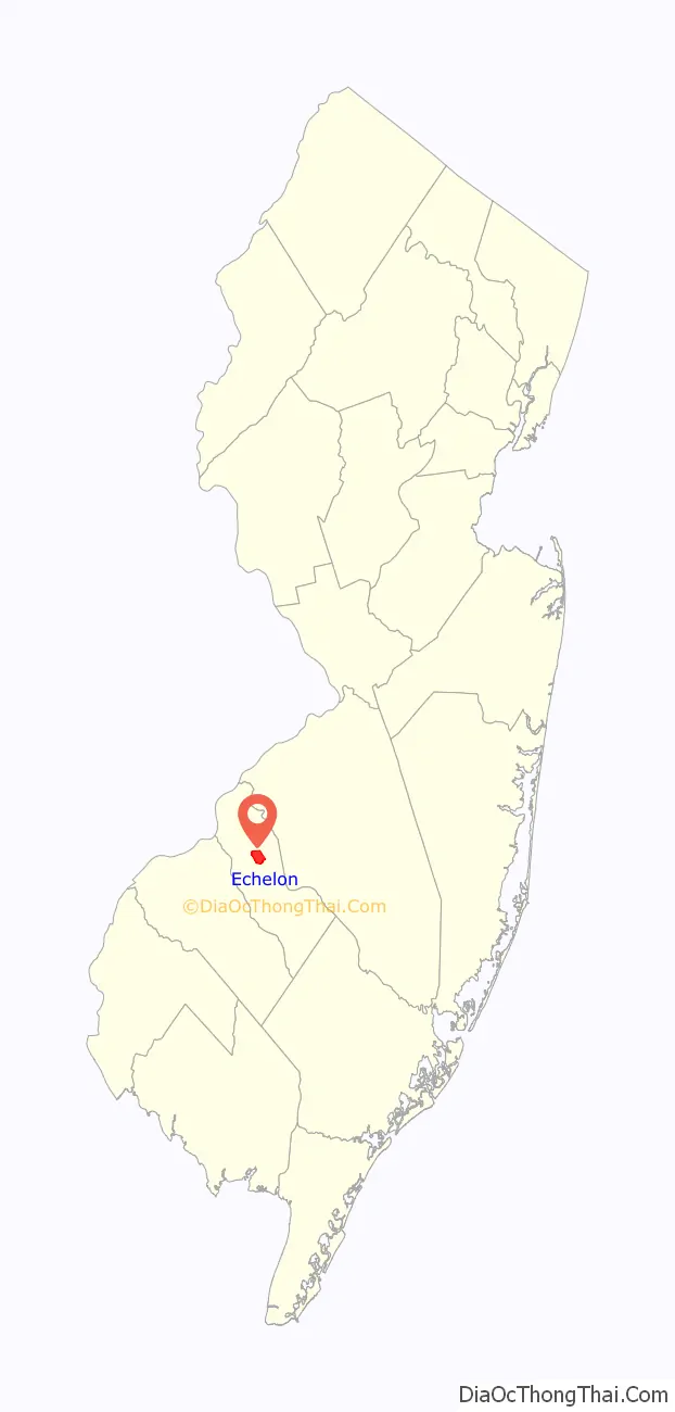
Echelon location map. Where is Echelon CDP?
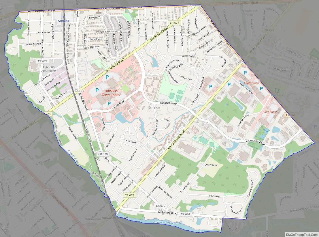
Echelon Road Map
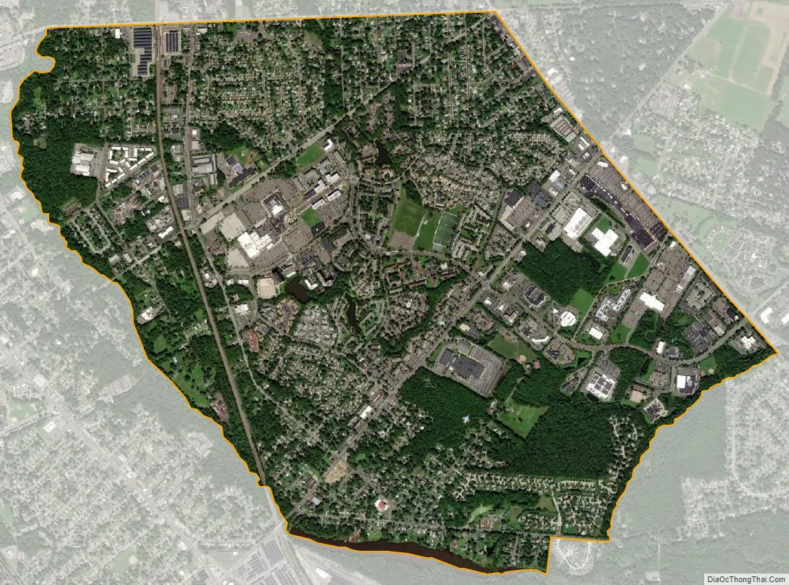
Echelon city Satellite Map
Geography
According to the United States Census Bureau, Echelon had a total area of 2.836 square miles (7.344 km), including 2.812 square miles (7.283 km) is land and 0.024 square miles (0.061 km) is water (0.85%).
See also
Map of New Jersey State and its subdivision: Map of other states:- Alabama
- Alaska
- Arizona
- Arkansas
- California
- Colorado
- Connecticut
- Delaware
- District of Columbia
- Florida
- Georgia
- Hawaii
- Idaho
- Illinois
- Indiana
- Iowa
- Kansas
- Kentucky
- Louisiana
- Maine
- Maryland
- Massachusetts
- Michigan
- Minnesota
- Mississippi
- Missouri
- Montana
- Nebraska
- Nevada
- New Hampshire
- New Jersey
- New Mexico
- New York
- North Carolina
- North Dakota
- Ohio
- Oklahoma
- Oregon
- Pennsylvania
- Rhode Island
- South Carolina
- South Dakota
- Tennessee
- Texas
- Utah
- Vermont
- Virginia
- Washington
- West Virginia
- Wisconsin
- Wyoming


