Ellisburg is an unincorporated community and census-designated place (CDP) located within Cherry Hill Township, in Camden County, New Jersey, United States. As of the 2010 United States Census, the CDP’s population was 8,168. The area had been part of the combined Erlton-Ellisburg CDP, which was discontinued after the 2000 Census.
| Name: | Ellisburg CDP |
|---|---|
| LSAD Code: | 57 |
| LSAD Description: | CDP (suffix) |
| State: | New Jersey |
| County: | Camden County |
| Elevation: | 89 ft (27 m) |
| Total Area: | 0.91 sq mi (2.34 km²) |
| Land Area: | 0.91 sq mi (2.34 km²) |
| Water Area: | 0.00 sq mi (0.00 km²) 0.00% |
| Total Population: | 4,601 |
| Population Density: | 5,083.98/sq mi (1,963.20/km²) |
| ZIP code: | 08002 – Cherry Hill |
| Area code: | 856 |
| FIPS code: | 3421120 |
| GNISfeature ID: | 02583987 |
Online Interactive Map
Click on ![]() to view map in "full screen" mode.
to view map in "full screen" mode.
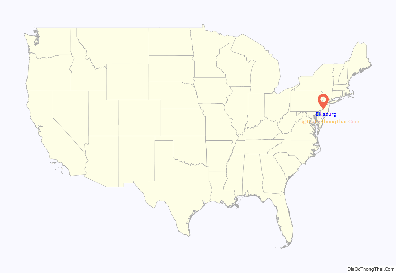
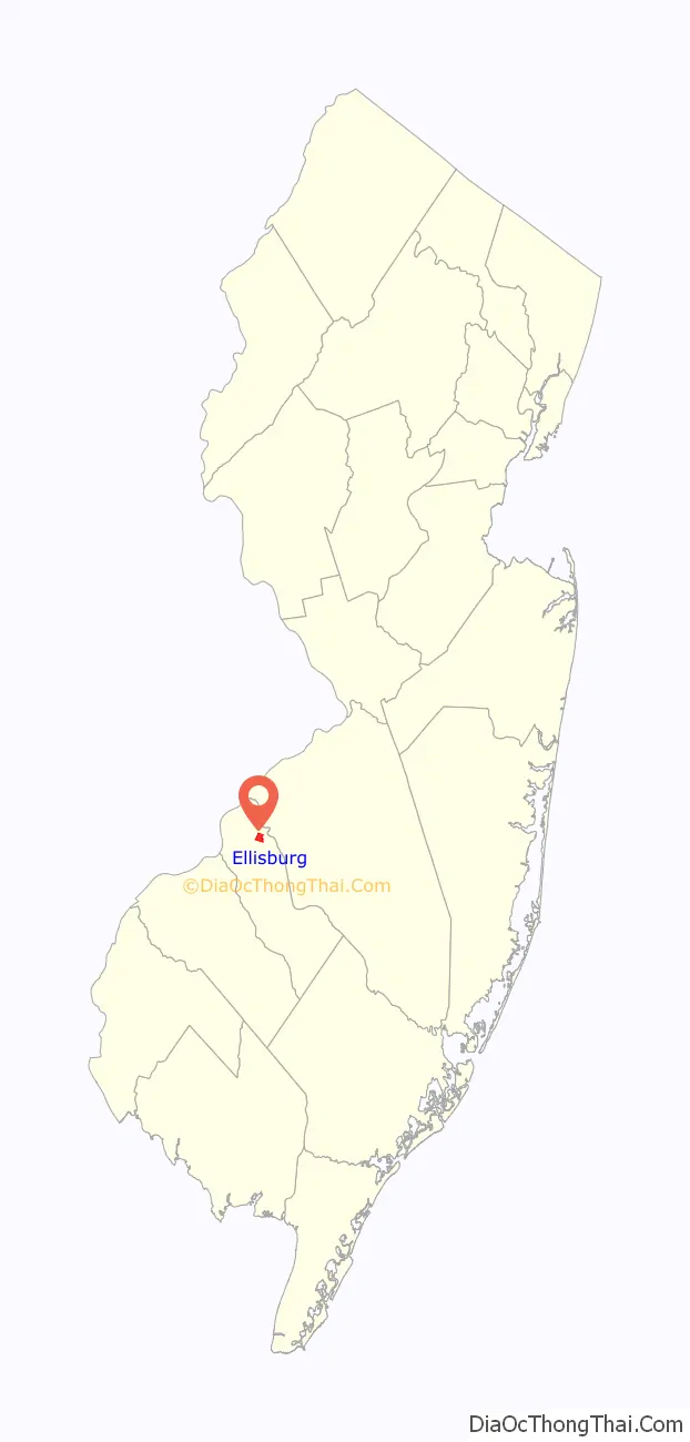
Ellisburg location map. Where is Ellisburg CDP?
History
Named for the prominent Ellis family who settled the area, the area that came to be known as Ellisburg was first the site of a blacksmith and tavern, which soon brought private homes to the area. A stagecoach that stopped at the tavern further helped development. The initial location of Ellisburg was the crossroads of Cooper’s Creek Road (now Route 70) and Haddonfield Moorestown Road (King’s Highway).
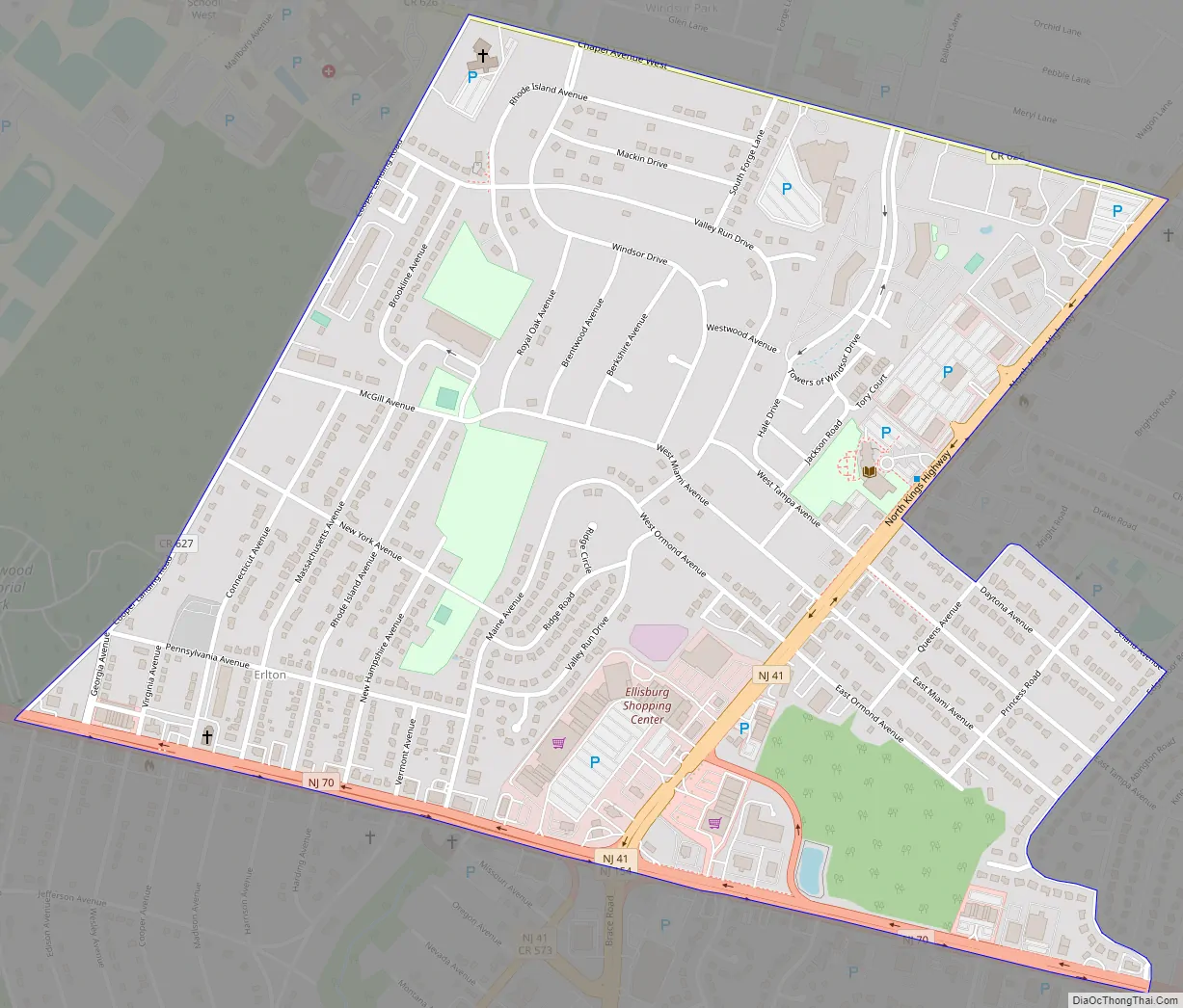
Ellisburg Road Map
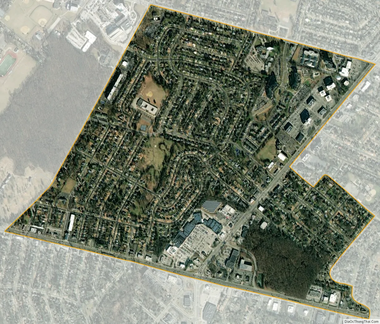
Ellisburg city Satellite Map
Geography
According to the United States Census Bureau, the CDP had a total area of 0.905 square miles (2.344 km), all of which was land.
See also
Map of New Jersey State and its subdivision: Map of other states:- Alabama
- Alaska
- Arizona
- Arkansas
- California
- Colorado
- Connecticut
- Delaware
- District of Columbia
- Florida
- Georgia
- Hawaii
- Idaho
- Illinois
- Indiana
- Iowa
- Kansas
- Kentucky
- Louisiana
- Maine
- Maryland
- Massachusetts
- Michigan
- Minnesota
- Mississippi
- Missouri
- Montana
- Nebraska
- Nevada
- New Hampshire
- New Jersey
- New Mexico
- New York
- North Carolina
- North Dakota
- Ohio
- Oklahoma
- Oregon
- Pennsylvania
- Rhode Island
- South Carolina
- South Dakota
- Tennessee
- Texas
- Utah
- Vermont
- Virginia
- Washington
- West Virginia
- Wisconsin
- Wyoming


