Elmer is a borough in Salem County in the U.S. state of New Jersey. As of the 2020 United States census, the borough’s population was 1,347, a decrease of 48 (−3.4%) from the 2010 census count of 1,395, which in turn reflected an increase of 11 (+0.8%) from the 1,384 counted in the 2000 census. It is the home of the annual Appel Farm Arts and Music Festival, which celebrated its 23rd year in 2012.
| Name: | Elmer borough |
|---|---|
| LSAD Code: | 21 |
| LSAD Description: | borough (suffix) |
| State: | New Jersey |
| County: | Salem County |
| Incorporated: | January 28, 1893 |
| Elevation: | 115 ft (35 m) |
| Total Area: | 0.91 sq mi (2.35 km²) |
| Land Area: | 0.89 sq mi (2.30 km²) |
| Water Area: | 0.02 sq mi (0.05 km²) 2.20% |
| Total Population: | 1,347 |
| Population Density: | 1,507.2/sq mi (581.9/km²) |
| ZIP code: | 08318 |
| Area code: | 856 |
| FIPS code: | 3421240 |
| GNISfeature ID: | 885206 |
| Website: | www.elmerboroughnj.com |
Online Interactive Map
Click on ![]() to view map in "full screen" mode.
to view map in "full screen" mode.
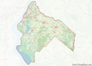
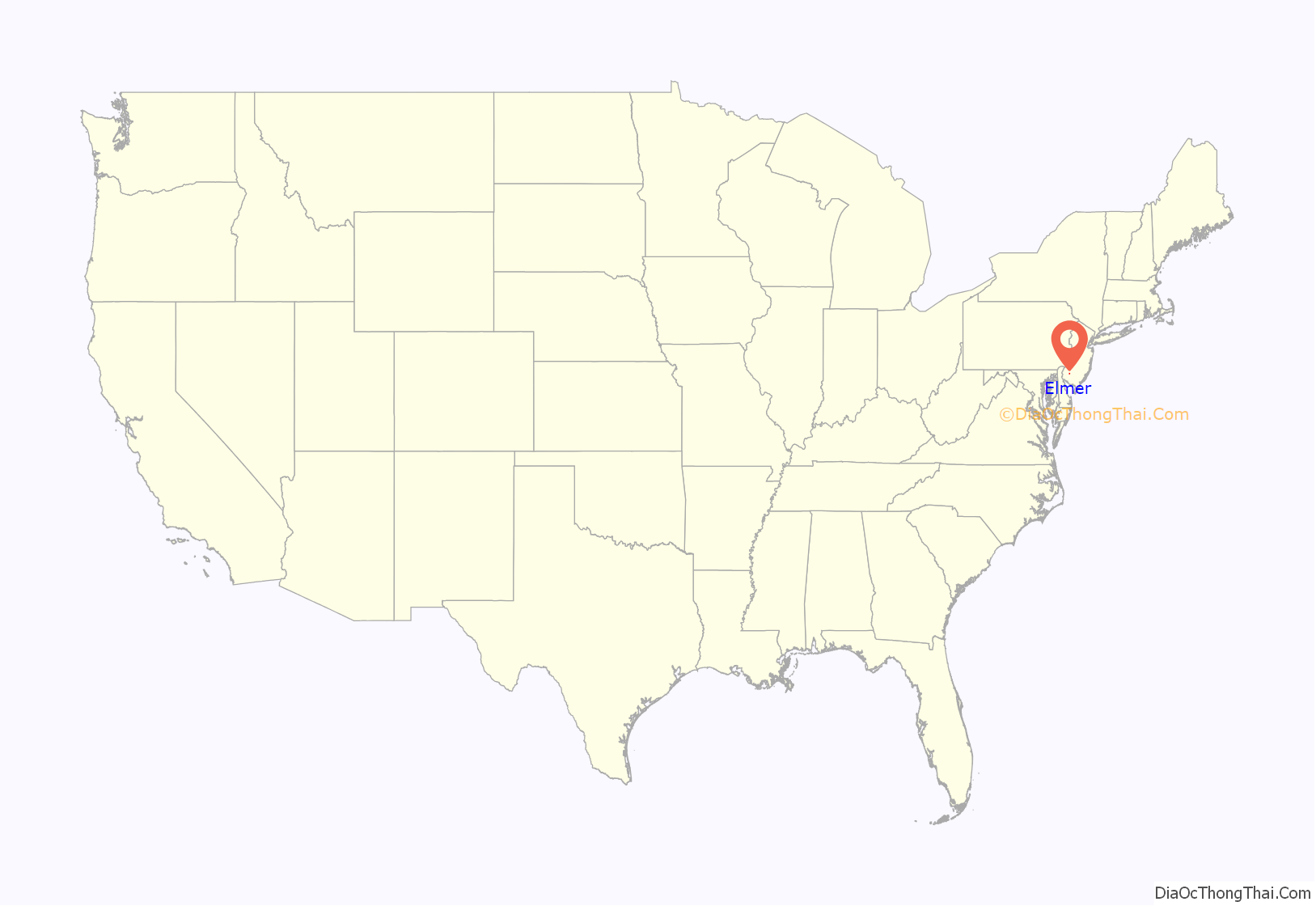
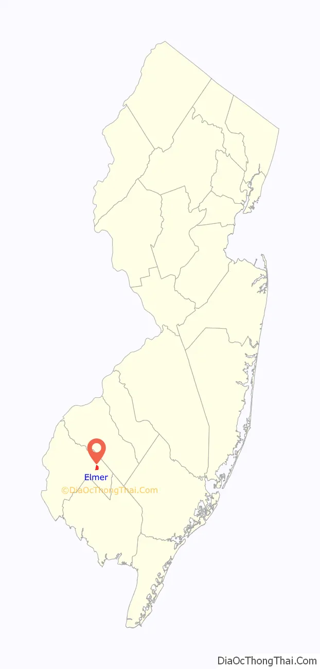
Elmer location map. Where is Elmer borough?
History
Elmer was incorporated as a borough by an act of the New Jersey Legislature on January 28, 1893, from portions of Pittsgrove Township and Upper Pittsgrove Township, based on the results of a referendum held four days earlier. The borough was named for Lucius Elmer a former judge who helped obtain a post office for the community during his service as Congressman.
Elmer is a dry town where alcohol is not permitted to be sold legally.
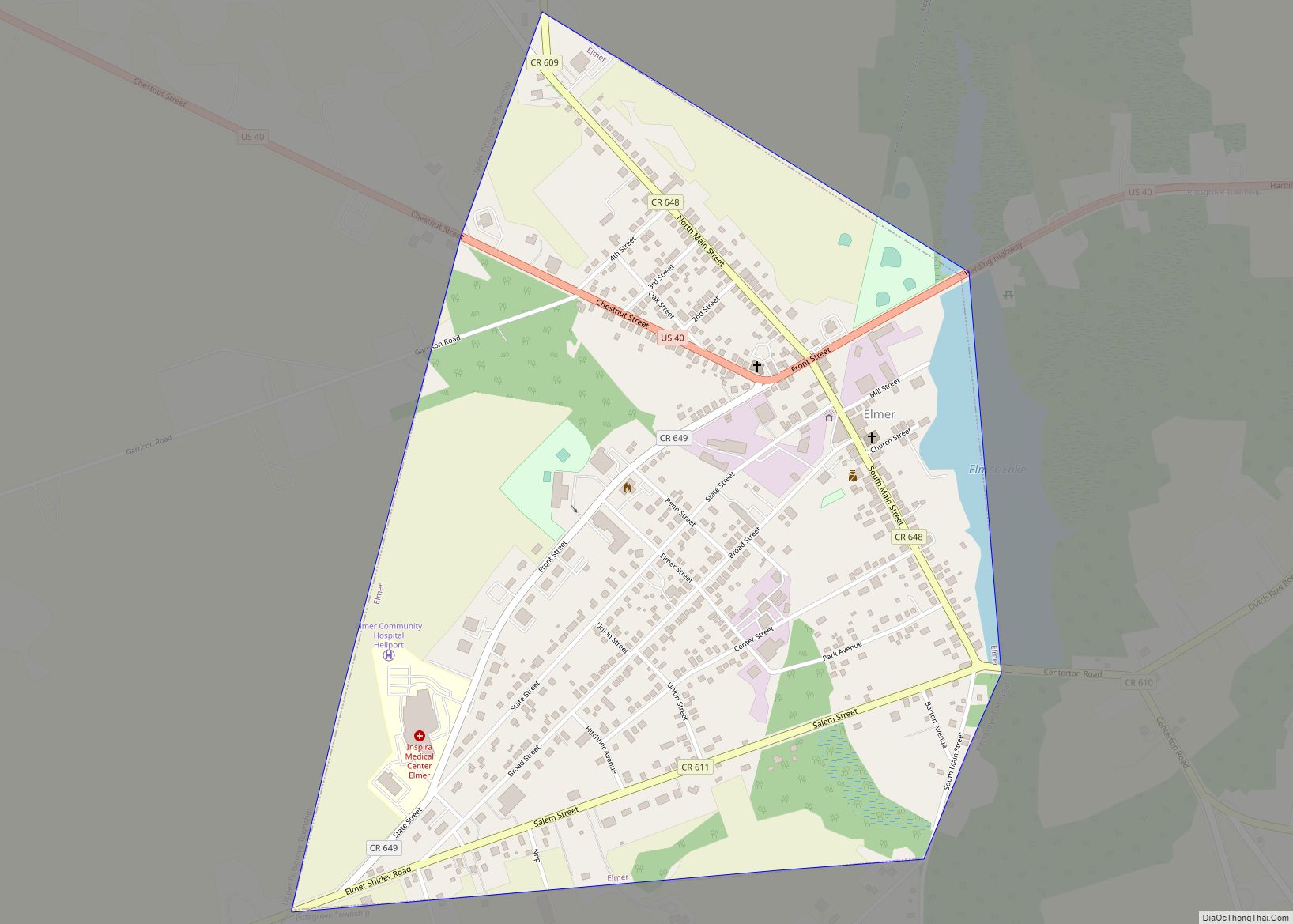
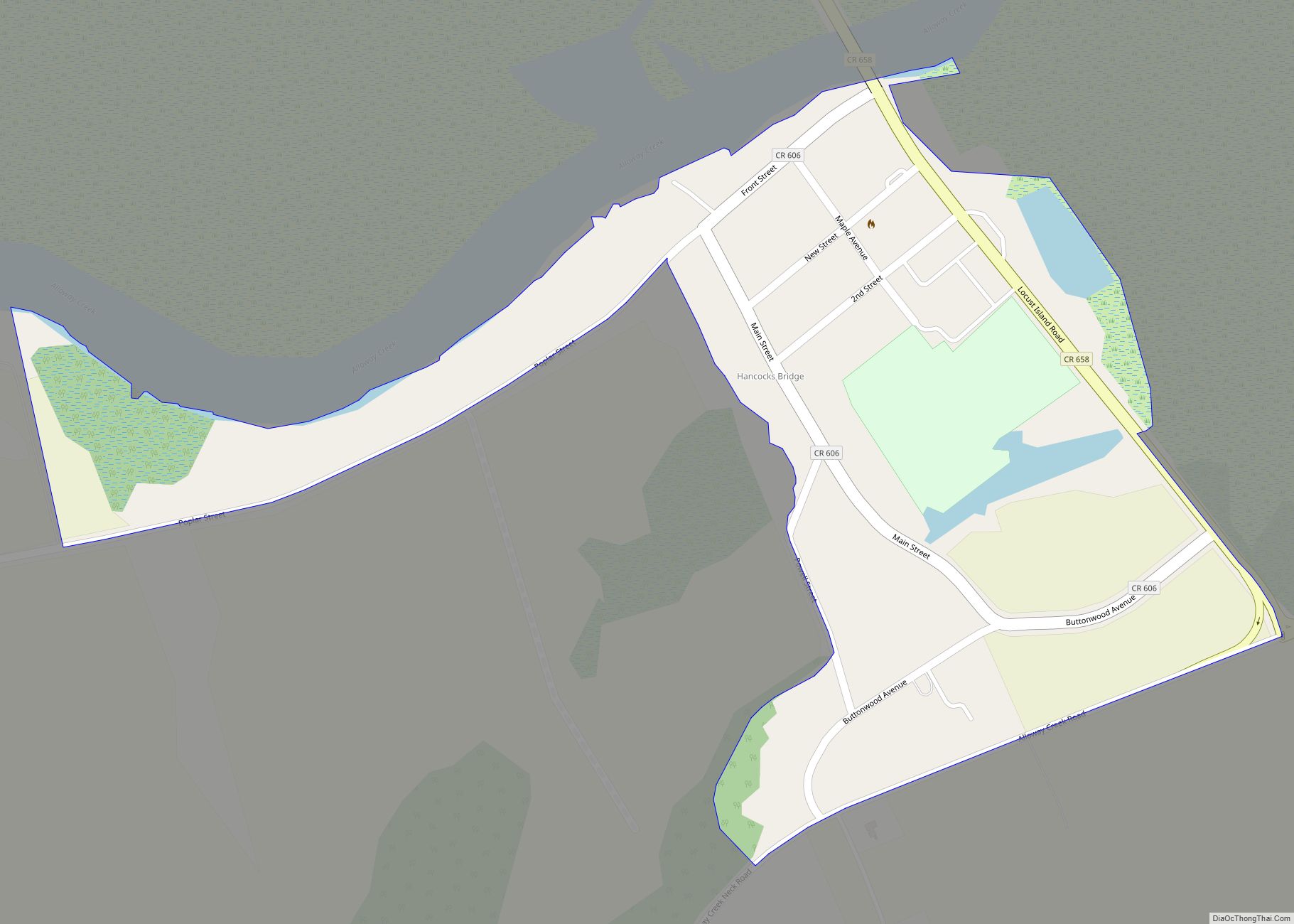
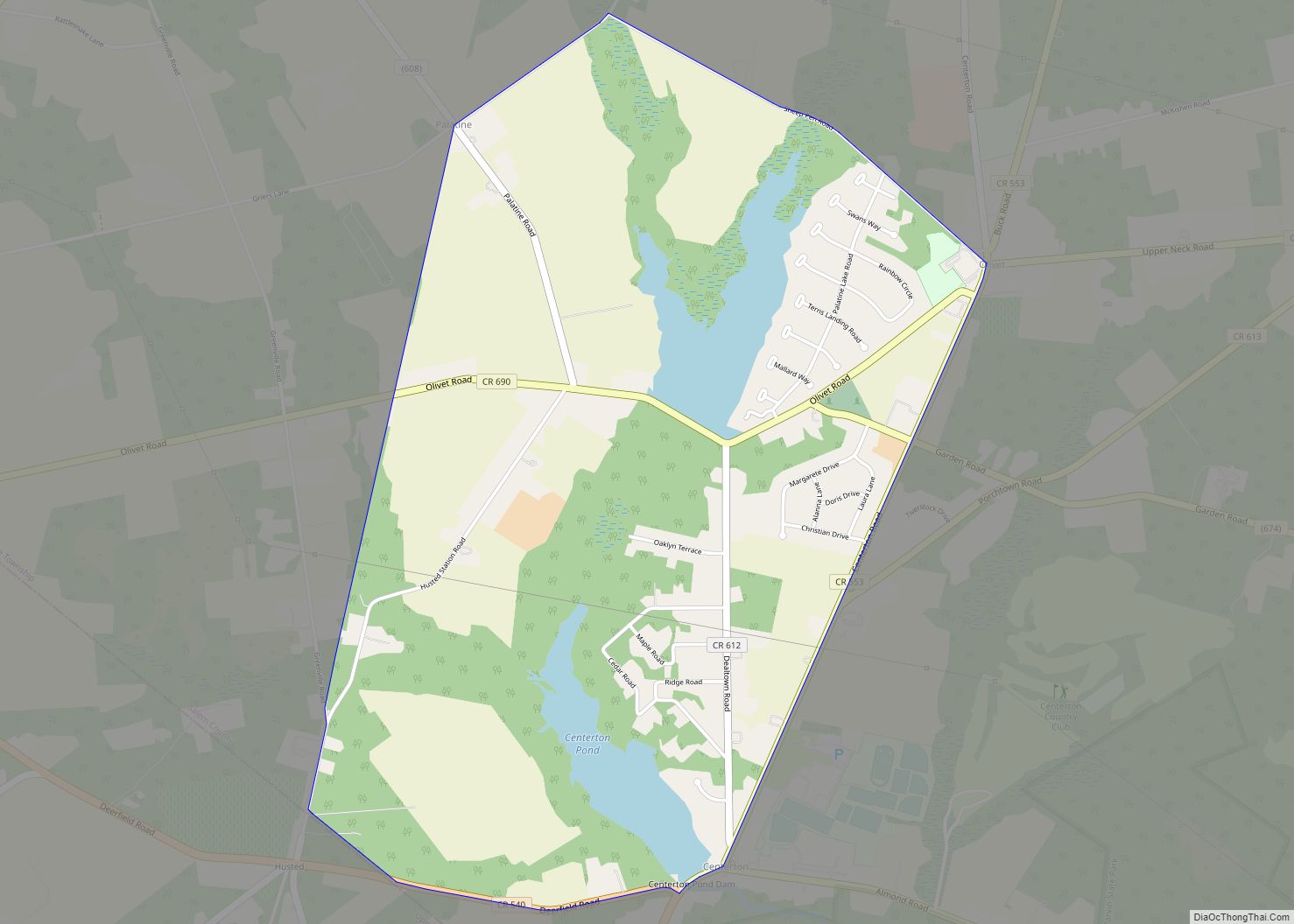
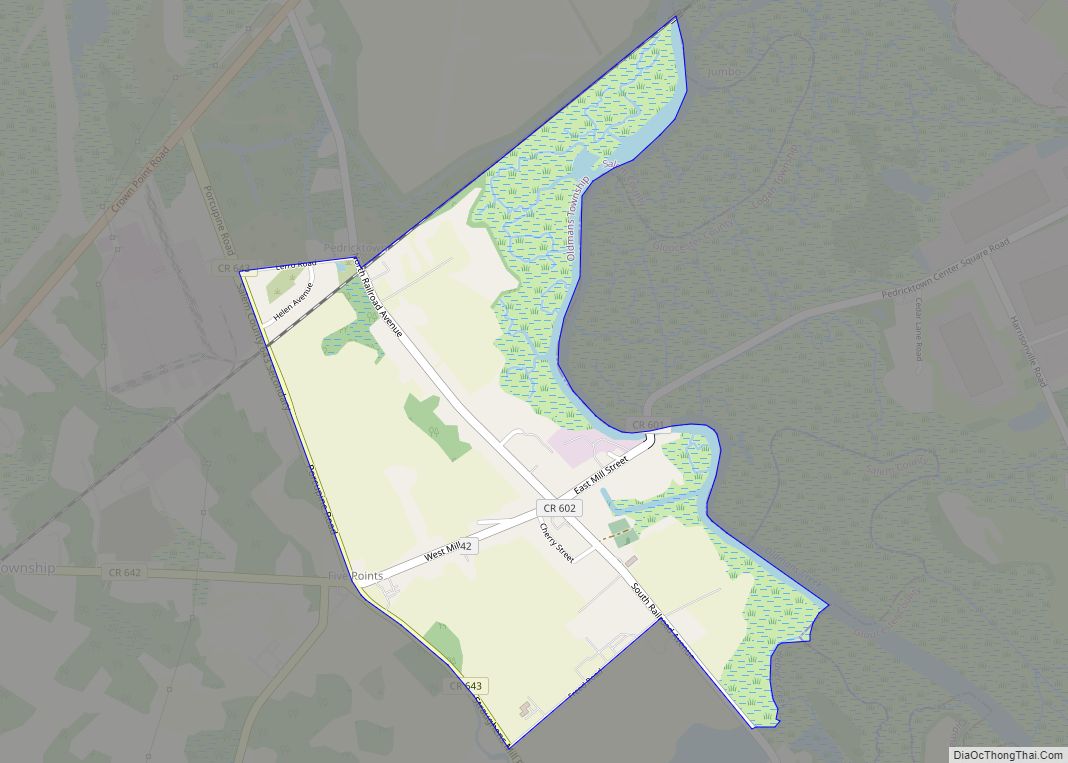
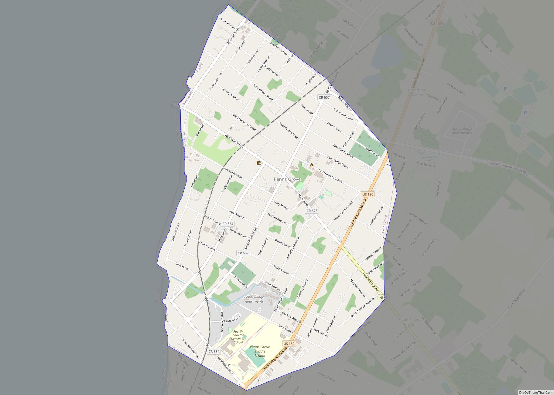
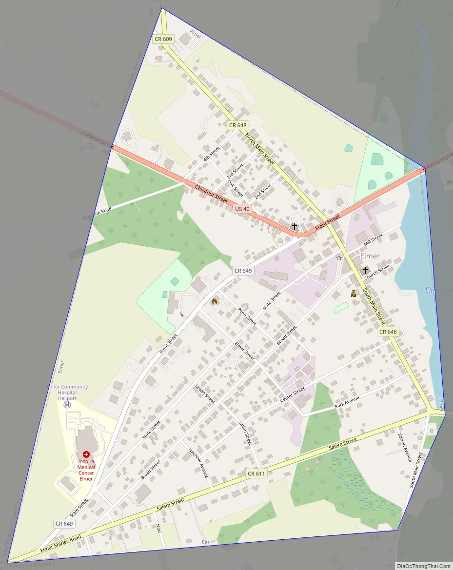
Elmer Road Map
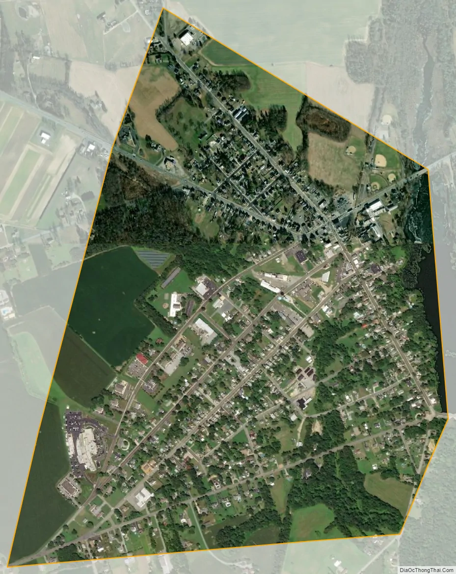
Elmer city Satellite Map
Geography
According to the United States Census Bureau, the borough had a total area of 0.91 square miles (2.37 km), including 0.89 square miles (2.31 km) of land and 0.02 square miles (0.05 km) of water (2.20%).
The borough borders Pittsgrove Township and Upper Pittsgrove Township.
The borough is located on U.S. Route 40.
See also
Map of New Jersey State and its subdivision: Map of other states:- Alabama
- Alaska
- Arizona
- Arkansas
- California
- Colorado
- Connecticut
- Delaware
- District of Columbia
- Florida
- Georgia
- Hawaii
- Idaho
- Illinois
- Indiana
- Iowa
- Kansas
- Kentucky
- Louisiana
- Maine
- Maryland
- Massachusetts
- Michigan
- Minnesota
- Mississippi
- Missouri
- Montana
- Nebraska
- Nevada
- New Hampshire
- New Jersey
- New Mexico
- New York
- North Carolina
- North Dakota
- Ohio
- Oklahoma
- Oregon
- Pennsylvania
- Rhode Island
- South Carolina
- South Dakota
- Tennessee
- Texas
- Utah
- Vermont
- Virginia
- Washington
- West Virginia
- Wisconsin
- Wyoming