Far Hills is a borough in Somerset County in the U.S. state of New Jersey. As of the 2020 United States census, the borough’s population was 924, an increase of 5 (+0.5%) from the 2010 census count of 919, which in turn reflected an increase of 60 (+7.0%) from the 859 counted in the 2000 census.
Far Hills was incorporated as a borough based on an Act of the New Jersey Legislature passed on April 7, 1921, from portions of Bernards Township, subject to the results of a referendum held on May 12, 1921. Far Hills is a dry town where alcohol is not permitted to be sold by law. It is located within the Raritan Valley region.
In the Forbes magazine listing of the Most Expensive ZIP Codes in the United States, Far Hills was ranked 52 in 2010 (with median sale price of $2,067,451) and 87th in 2012 (with a median of $1,729,135). In 2018, New Jersey Business Magazine listed Far Hills at 12th in its listing of “The Most Expensive ZIP Codes in New Jersey”, with a median sale price 2017 of $885,000.
| Name: | Far Hills borough |
|---|---|
| LSAD Code: | 21 |
| LSAD Description: | borough (suffix) |
| State: | New Jersey |
| County: | Somerset County |
| Incorporated: | May 12, 1921 |
| Elevation: | 213 ft (65 m) |
| Total Area: | 4.90 sq mi (12.69 km²) |
| Land Area: | 4.85 sq mi (12.55 km²) |
| Water Area: | 0.06 sq mi (0.14 km²) 1.12% |
| Total Population: | 924 |
| Population Density: | 190.6/sq mi (73.6/km²) |
| ZIP code: | 07931 |
| Area code: | 908 exchange: 443 |
| FIPS code: | 3422890 |
| GNISfeature ID: | 0885217 |
| Website: | www.farhillsnj.org |
Online Interactive Map
Click on ![]() to view map in "full screen" mode.
to view map in "full screen" mode.
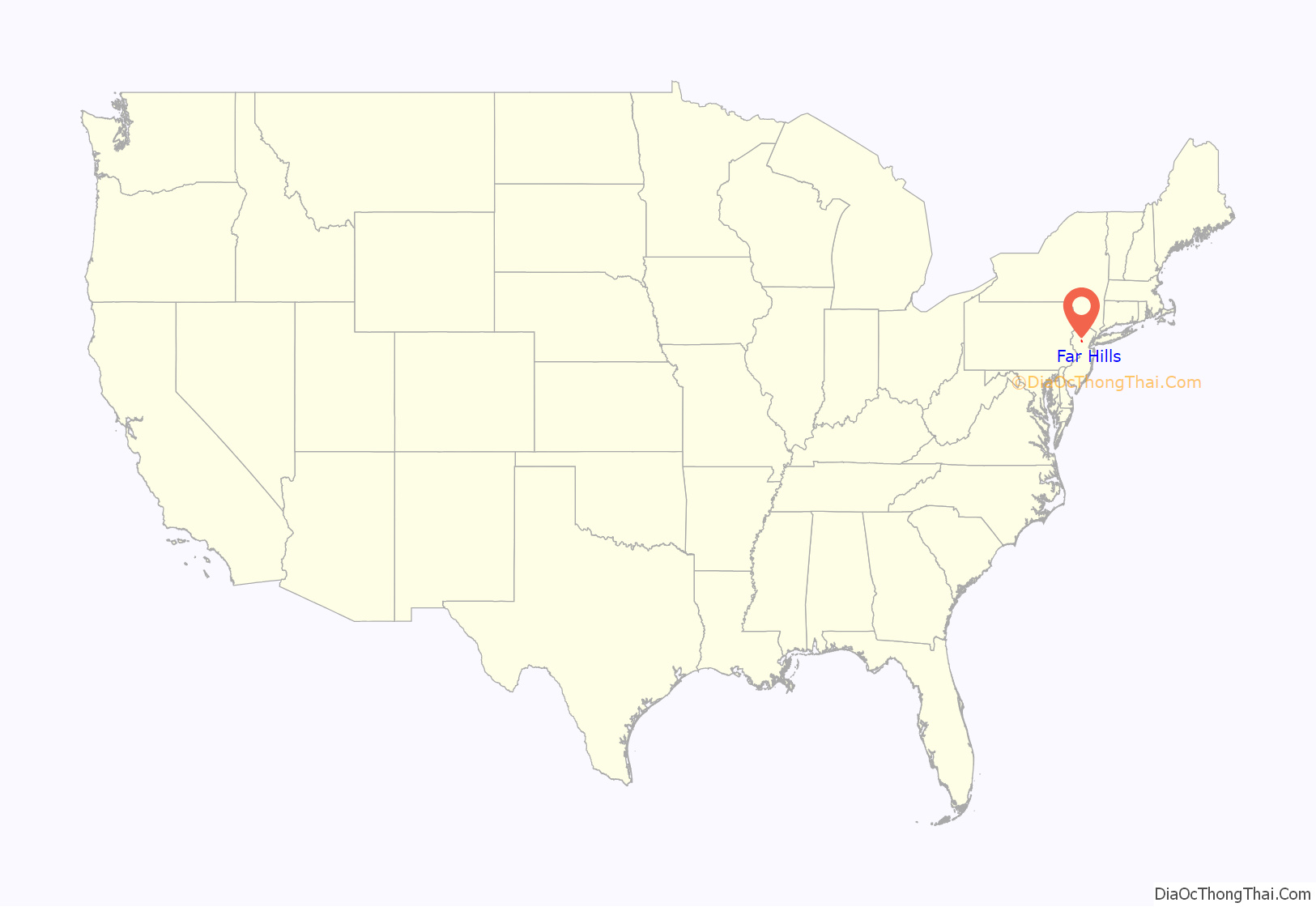
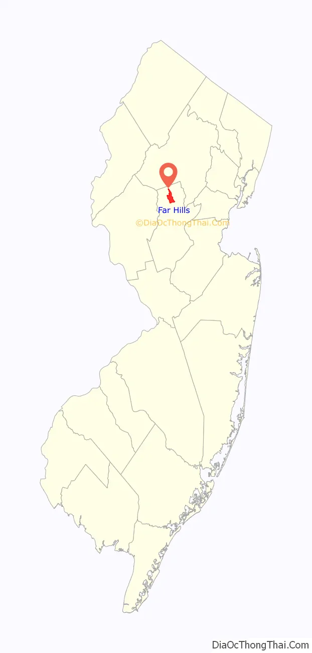
Far Hills location map. Where is Far Hills borough?
History
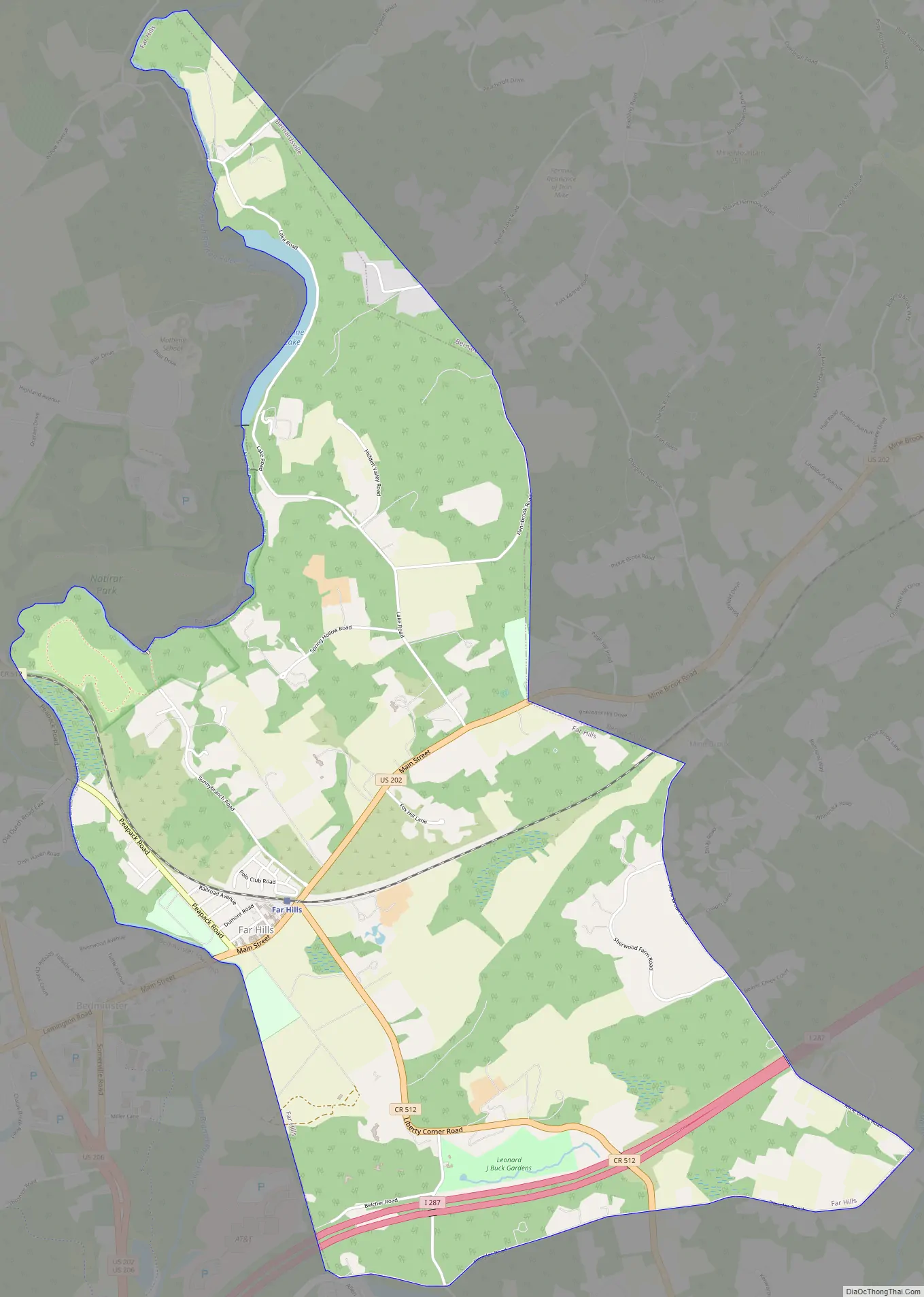
Far Hills encompasses nearly 5 square miles (13 km) in Somerset County, encircled by the equally upscale communities of Bedminster Township, Peapack-Gladstone, Bernards Township, and Bernardsville. It shares a community pool, athletic programs, civic organizations, and a school system with Bernardsville. It shares a public library, a fire department and a first aid squad with neighboring Bedminster Township.
The borough maintains its character through 10-acre (40,000 m) minimum zoning laws whereby large private properties and homes surround a small village which was the creation of a wealthy New York businessman in the late 1800s. The beginning of rail service to nearby Bernardsville in 1870, opened the area to city people seeking a respite from the heat and hurry of urban life.
Evander H. Schley, a land developer and real estate broker from New York, purchased thousands of acres in Bedminster and Bernards townships in the 1880s. One day in 1887, Schley’s brother, Grant, and his wife, Elizabeth, arrived by horse-drawn carriage to see Evander’s farms. Elizabeth is said to have remarked on the beautiful vista of the “far hills,” thus giving the name to the place before a village was built.
Far Hills Road Map
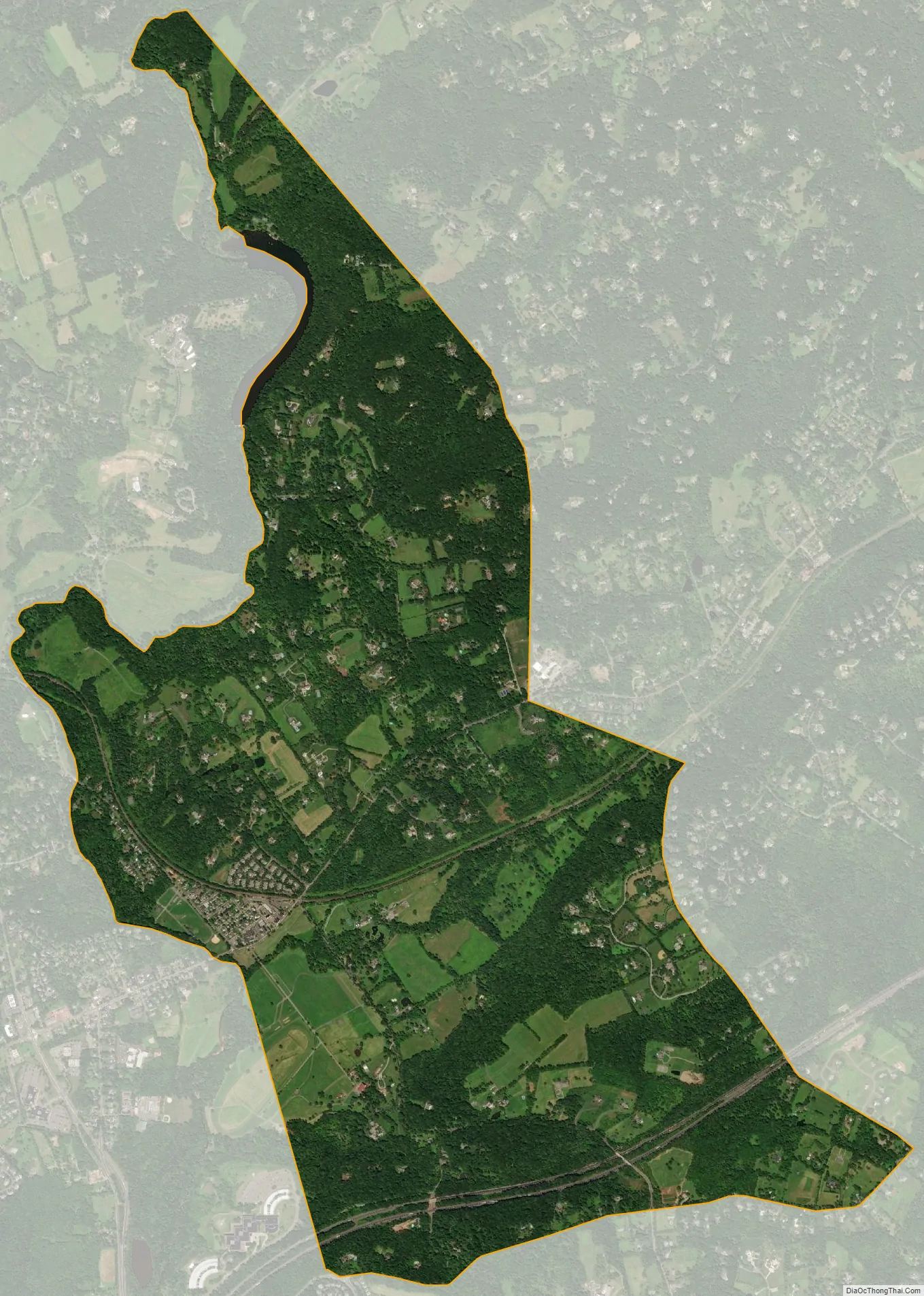
Far Hills city Satellite Map
Geography
According to the United States Census Bureau, the borough had a total area of 4.90 square miles (12.69 km), including 4.85 square miles (12.55 km) of land and 0.06 square miles (0.14 km) of water (1.12%).
The borough borders the Somerset County municipalities of Bedminster Township to the west, Bernards Township to the east, Bernardsville to the northeast and Peapack-Gladstone to the northwest.
Climate
The climate in the area is characterized by hot, humid summers and generally cold winters. According to the Köppen Climate Classification system, Far Hills has a humid continental climate, abbreviated “Dfa” on climate maps.
See also
Map of New Jersey State and its subdivision: Map of other states:- Alabama
- Alaska
- Arizona
- Arkansas
- California
- Colorado
- Connecticut
- Delaware
- District of Columbia
- Florida
- Georgia
- Hawaii
- Idaho
- Illinois
- Indiana
- Iowa
- Kansas
- Kentucky
- Louisiana
- Maine
- Maryland
- Massachusetts
- Michigan
- Minnesota
- Mississippi
- Missouri
- Montana
- Nebraska
- Nevada
- New Hampshire
- New Jersey
- New Mexico
- New York
- North Carolina
- North Dakota
- Ohio
- Oklahoma
- Oregon
- Pennsylvania
- Rhode Island
- South Carolina
- South Dakota
- Tennessee
- Texas
- Utah
- Vermont
- Virginia
- Washington
- West Virginia
- Wisconsin
- Wyoming


