Finderne is an unincorporated community and census-designated place (CDP) located within Bridgewater Township, in Somerset County, New Jersey, United States. As of the 2010 United States Census, the CDP’s population was 5,600.
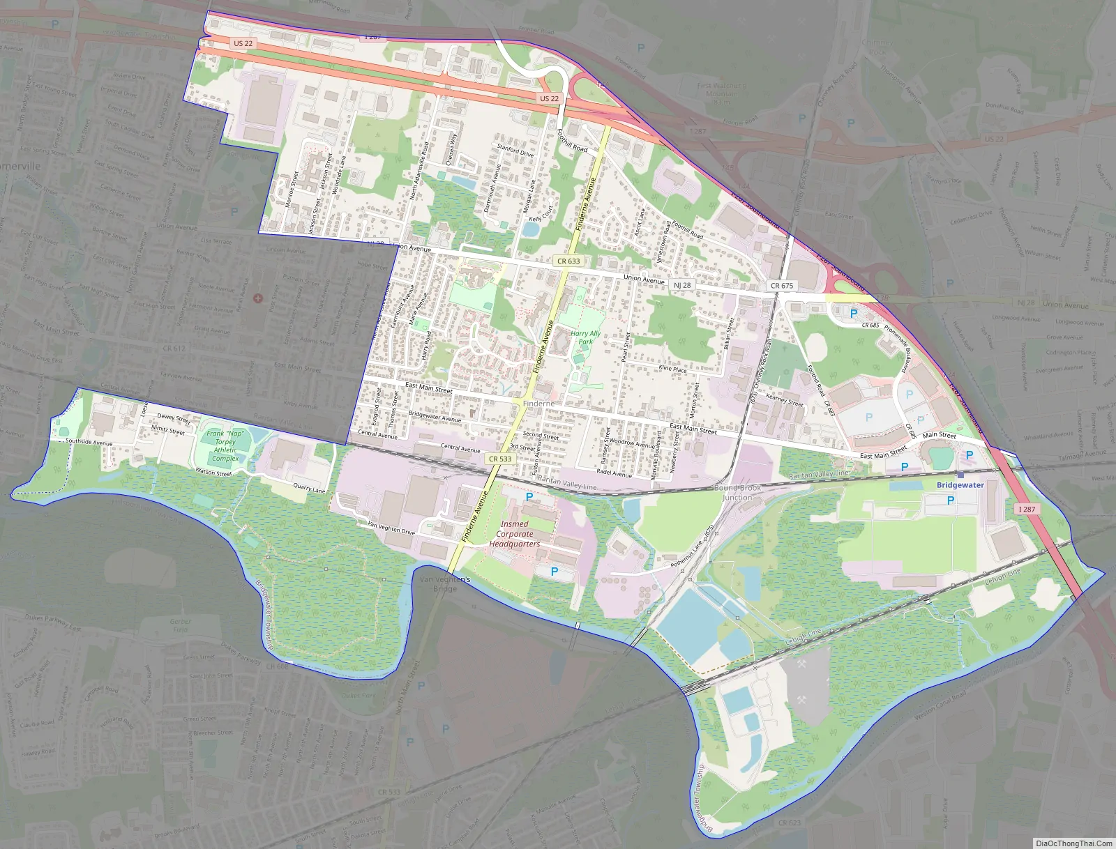
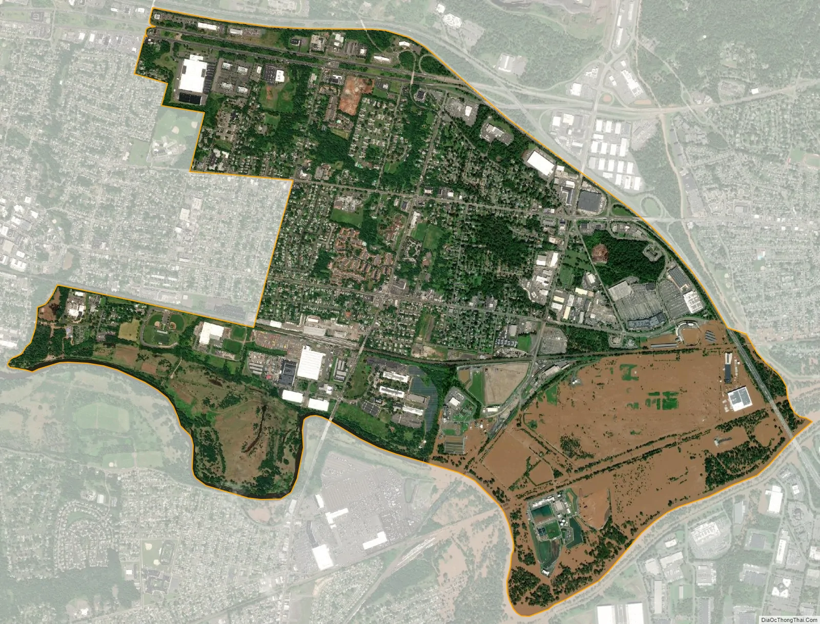
Located in southeastern Bridgewater between Bound Brook and Somerville, Finderne is a diverse area with older neighborhoods bordering Foothill Road, newer developments, multi-unit housing near the Raritan River/Manville border, as well as commercial and industrial areas. The Middlebrook Crossing industrial park, the Promenade shopping center and TD Bank Ballpark, home to the Somerset Patriots, are located here.
| Name: | Finderne CDP |
|---|---|
| LSAD Code: | 57 |
| LSAD Description: | CDP (suffix) |
| State: | New Jersey |
| County: | Somerset County |
| Elevation: | 82 ft (25 m) |
| Total Area: | 4.33 sq mi (11.21 km²) |
| Land Area: | 4.09 sq mi (10.60 km²) |
| Water Area: | 0.24 sq mi (0.62 km²) 5.56% |
| Total Population: | 6,392 |
| Population Density: | 1,562.45/sq mi (603.28/km²) |
| ZIP code: | 08876 – Somerville |
| Area code: | 908 |
| FIPS code: | 3423310 |
| GNISfeature ID: | 02583988 |
Online Interactive Map
Click on ![]() to view map in "full screen" mode.
to view map in "full screen" mode.
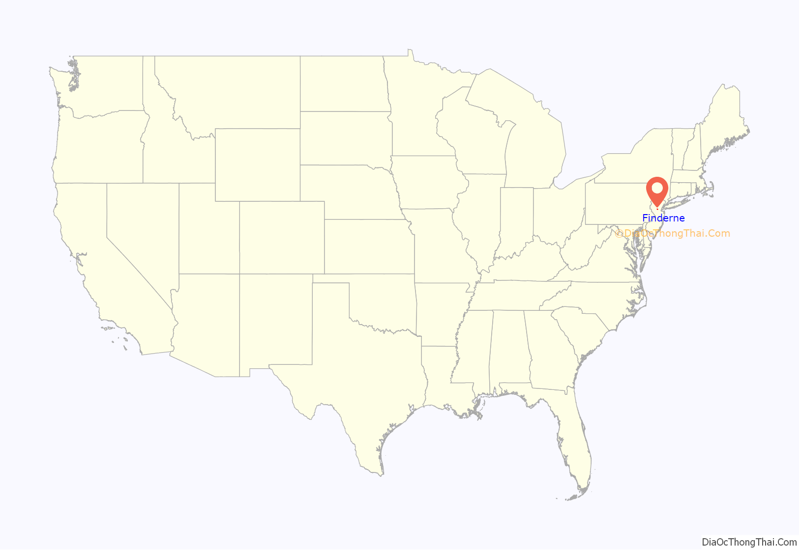
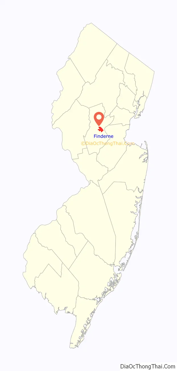
Finderne location map. Where is Finderne CDP?
Finderne Road Map
Finderne city Satellite Map
Geography
According to the United States Census Bureau, Finderne had a total area of 4.336 square miles (11.232 km), including 4.095 square miles (10.607 km) of land and 0.241 square miles (0.625 km) of water (5.56%).
See also
Map of New Jersey State and its subdivision: Map of other states:- Alabama
- Alaska
- Arizona
- Arkansas
- California
- Colorado
- Connecticut
- Delaware
- District of Columbia
- Florida
- Georgia
- Hawaii
- Idaho
- Illinois
- Indiana
- Iowa
- Kansas
- Kentucky
- Louisiana
- Maine
- Maryland
- Massachusetts
- Michigan
- Minnesota
- Mississippi
- Missouri
- Montana
- Nebraska
- Nevada
- New Hampshire
- New Jersey
- New Mexico
- New York
- North Carolina
- North Dakota
- Ohio
- Oklahoma
- Oregon
- Pennsylvania
- Rhode Island
- South Carolina
- South Dakota
- Tennessee
- Texas
- Utah
- Vermont
- Virginia
- Washington
- West Virginia
- Wisconsin
- Wyoming


