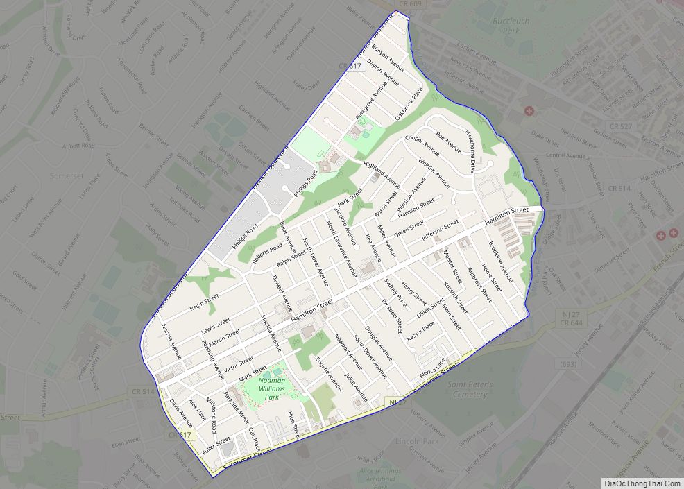
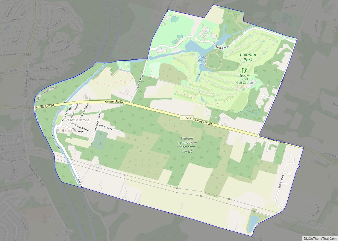
Franklin Park is an unincorporated community and census-designated place (CDP) located within Franklin Township, in Somerset County, New Jersey, United States. As of the 2010 United States Census, the CDP’s population was 13,295. Route 27 (historically known as Old Road/King’s Highway and once part of the Lincoln Highway system) bisects the village and serves as the dividing line between the two counties. The adjacent sections of South Brunswick and North Brunswick, Middlesex County on the east side of Route 27 are also known as Franklin Park, but are not included within the CDP’s boundaries.
The area is served as United States Postal Service ZIP code 08823.
| Name: | Franklin Park CDP |
|---|---|
| LSAD Code: | 57 |
| LSAD Description: | CDP (suffix) |
| State: | New Jersey |
| County: | Somerset County |
| Elevation: | 118 ft (36 m) |
| Total Area: | 2.607 sq mi (6.750 km²) |
| Land Area: | 2.605 sq mi (6.746 km²) |
| Water Area: | 0.002 sq mi (0.004 km²) 0.06% |
| Total Population: | 13,295 |
| Population Density: | 5,104.3/sq mi (1,970.8/km²) |
| ZIP code: | 08823 |
| Area code: | 732/848 |
| FIPS code: | 3425020 |
| GNISfeature ID: | 02583991 |
Online Interactive Map
Click on ![]() to view map in "full screen" mode.
to view map in "full screen" mode.
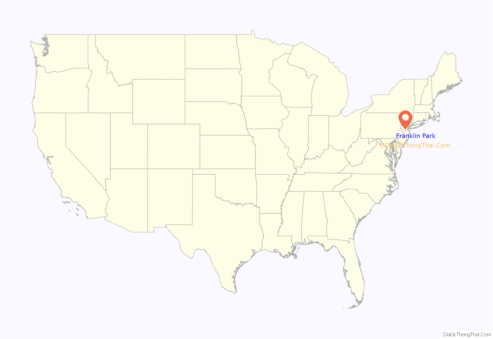
Franklin Park location map. Where is Franklin Park CDP?
History
The original name for Franklin Park was “Six Mile Run”, which was named for the tributary of the Millstone River that flows through the area and first came to importance about 1710.
In that year a congregation of the Six Mile Run Reformed Church was formed making it the oldest congregation in Franklin Township and remains an important part of the community. The first building was replaced by a new building in 1766 and was later replaced in 1817 by a third structure on the same site. The current building replaced the 1817 church that was destroyed by fire in 1879. The Frelinghuysen Memorial Chapel was added in 1907 and the Fellowship Hall was dedicated in 1958.
Franklin Park, then Six Mile Run, served as the first site of the Somerset County Courthouse and jail from 1714 until 1737 when a fire destroyed the building and the county seat was moved to Millstone, New Jersey. Occasionally Franklin Park was referred to as Somerset Courthouse during the time the courthouse was located here. A commemorative marker is located on Route 27 between Clover Place and Bennington Parkway near the original courthouse site.
Several early taverns were established here and welcomed travelers using King’s Highway while headed towards New Brunswick and New York City going north and Princeton, Trenton and Philadelphia going south. Wood’s Tavern was operating by 1745 and Gifford’s Tavern by the 1760s. John Quincy Adams and Andrew Jackson are known to have stopped at Gifford’s Tavern. In 1874, Gifford’s Tavern was replaced by the 26-room Beekman’s Hotel, aka Franklin House, which operated until it was destroyed by a major fire in 1929. The building occupied by Chauncey’s Restaurant (now demolished) was purportedly once a barn of the Beekman’s Hotel.
The first post office in Franklin Township was established here in 1826.
The name of the community was formally changed from Six Mile Run to Franklin Park on June 25, 1872.
In the late 19th century in addition to the Beekman’s Hotel and another known as Manley’s Hotel and the Six Mile Run Reformed Church, the community included a wagon factory, blacksmith, wheelwright, butcher, hay scales, ice house, a school, and a general store called Hullfish’s Store, as well as residences for about 110 people.
Today many of the historic commercial buildings are gone but newer commercial buildings have taken their place to serve the rapidly growing population in the surrounding area.
The former Franklin Park School on Route 27, built in 1909, was a two-room building until three more rooms were added in 1931. Renamed the Phillips School in 1954 in honor of Jane E. Phillips, who had earlier invested in a school to be built by that name in honor of her late husband at Ten Mile Run (closed since 1931) and established a trust fund for graduates of the Phillips school to attend New Jersey State Teachers College at Trenton (most recently known as The College of New Jersey), it ceased being used as a public school in 1976. The building was then used by Franklin Township’s Recreation Department until 1993 when it was abandoned due to structural problems. After being sold and renovated, it reopened as a privately run pre-school.
The current Franklin Park School section located between Hillview and Central Avenue is the original ten room building constructed in 1957. In 1998, a major expansion, accessed from Eden Road, was completed increasing enrollment capacity from about 130 to over 900 students.
Franklin Park has been served by the Franklin Park Volunteer Fire Company since 1936. Originally housed in the converted South Middlebush one-room schoolhouse that had been relocated to Route 27 in Franklin Park, the company had to build a new building after an oil stove fire destroyed the first firehouse in 1946.
Most of the 2001 anthrax attacks letters had the address of Franklin Park.
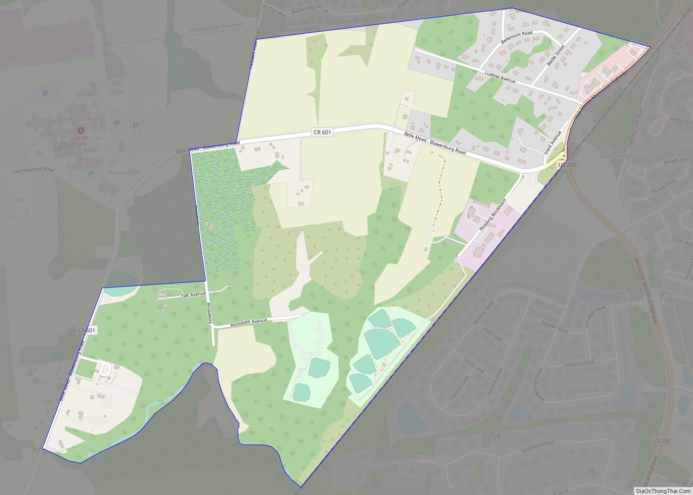
Franklin Park Road Map
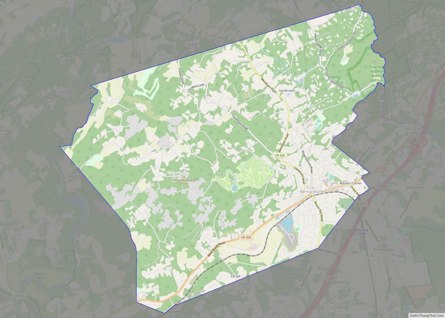
Franklin Park city Satellite Map
Geography
According to the United States Census Bureau, Franklin Park had a total area of 2.607 square miles (6.750 km), including 2.605 square miles (6.746 km) of land and 0.002 square miles (0.004 km) of water (0.06%).
See also
Map of New Jersey State and its subdivision: Map of other states:- Alabama
- Alaska
- Arizona
- Arkansas
- California
- Colorado
- Connecticut
- Delaware
- District of Columbia
- Florida
- Georgia
- Hawaii
- Idaho
- Illinois
- Indiana
- Iowa
- Kansas
- Kentucky
- Louisiana
- Maine
- Maryland
- Massachusetts
- Michigan
- Minnesota
- Mississippi
- Missouri
- Montana
- Nebraska
- Nevada
- New Hampshire
- New Jersey
- New Mexico
- New York
- North Carolina
- North Dakota
- Ohio
- Oklahoma
- Oregon
- Pennsylvania
- Rhode Island
- South Carolina
- South Dakota
- Tennessee
- Texas
- Utah
- Vermont
- Virginia
- Washington
- West Virginia
- Wisconsin
- Wyoming
