Golden Triangle is an unincorporated community and census-designated place (CDP) located within Cherry Hill Township, in Camden County, New Jersey, United States. As of the 2010 United States Census, the CDP’s population was 4,145.
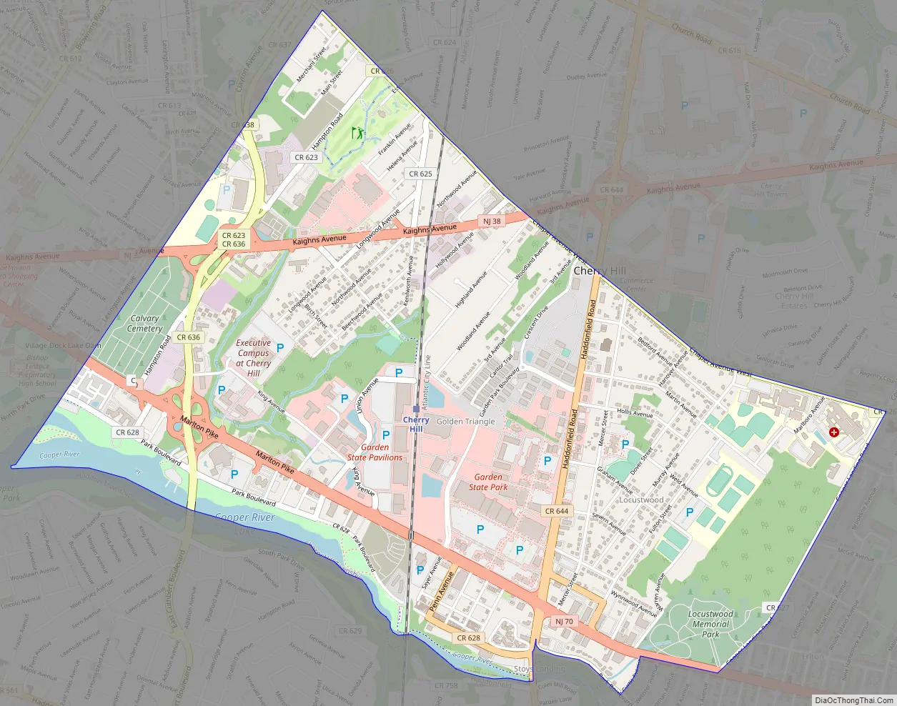
Golden Triangle is roughly bordered by Chapel Avenue, Cuthbert Boulevard, Cooper Landing Road, and Route 70/Marlton Pike.
| Name: | Golden Triangle CDP |
|---|---|
| LSAD Code: | 57 |
| LSAD Description: | CDP (suffix) |
| State: | New Jersey |
| County: | Camden County |
| Elevation: | 26 ft (8 m) |
| Total Area: | 2.91 sq mi (7.54 km²) |
| Land Area: | 2.83 sq mi (7.32 km²) |
| Water Area: | 0.09 sq mi (0.23 km²) 3.79% |
| Total Population: | 4,769 |
| Population Density: | 1,687.54/sq mi (651.64/km²) |
| Area code: | 856 |
| FIPS code: | 3426902 |
| GNISfeature ID: | 02389860 |
Online Interactive Map
Click on ![]() to view map in "full screen" mode.
to view map in "full screen" mode.
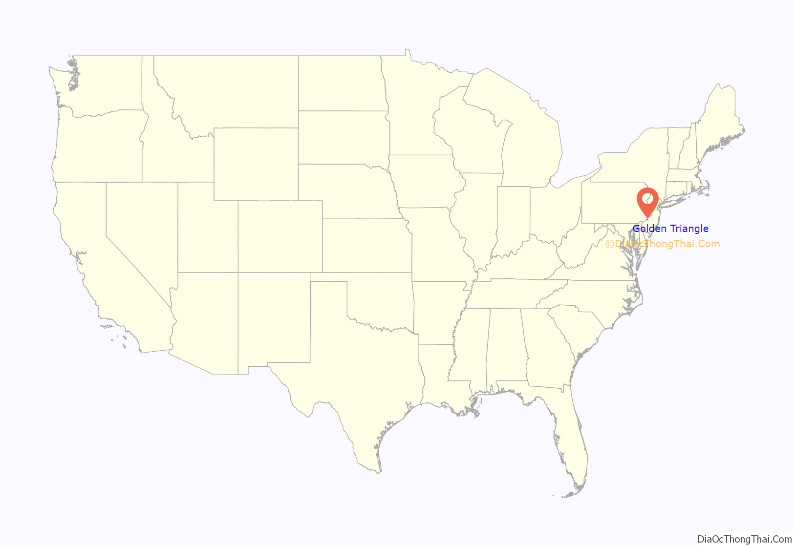
Golden Triangle location map. Where is Golden Triangle CDP?
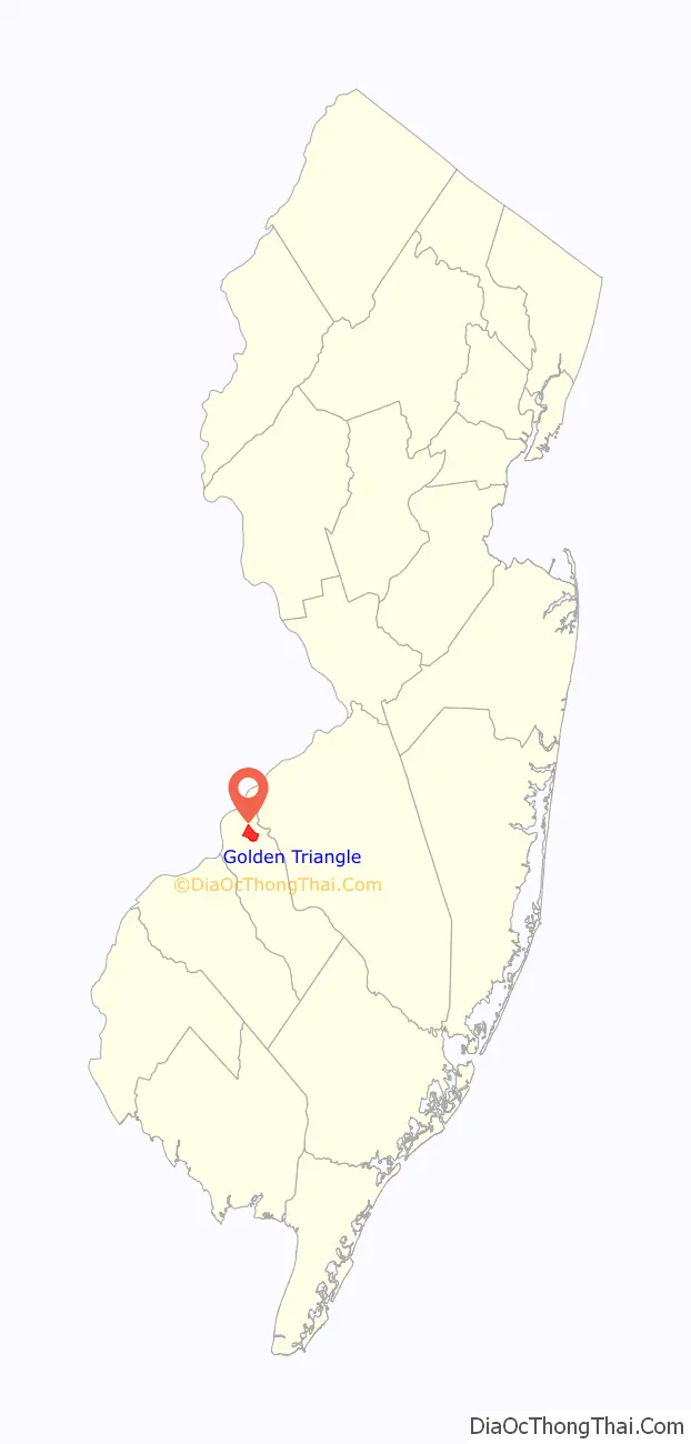
Golden Triangle Road Map
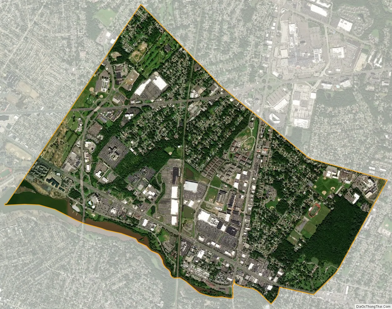
Golden Triangle city Satellite Map
Geography
According to the United States Census Bureau, the CDP had a total area of 2.949 square miles (7.637 km), including 2.837 square miles (7.347 km) of land and 0.112 square miles (0.290 km) of water (3.79%).
See also
Map of New Jersey State and its subdivision: Map of other states:- Alabama
- Alaska
- Arizona
- Arkansas
- California
- Colorado
- Connecticut
- Delaware
- District of Columbia
- Florida
- Georgia
- Hawaii
- Idaho
- Illinois
- Indiana
- Iowa
- Kansas
- Kentucky
- Louisiana
- Maine
- Maryland
- Massachusetts
- Michigan
- Minnesota
- Mississippi
- Missouri
- Montana
- Nebraska
- Nevada
- New Hampshire
- New Jersey
- New Mexico
- New York
- North Carolina
- North Dakota
- Ohio
- Oklahoma
- Oregon
- Pennsylvania
- Rhode Island
- South Carolina
- South Dakota
- Tennessee
- Texas
- Utah
- Vermont
- Virginia
- Washington
- West Virginia
- Wisconsin
- Wyoming


