Haddon Heights is a borough in Camden County, in the U.S. state of New Jersey. As of the 2020 United States census, the borough’s population was 7,495, an increase of 22 (+0.3%) from the 2010 census count of 7,473, which in turn reflected a decline of 74 (−1.0%) from the 7,547 counted in the 2000 Census.
Haddon Heights was incorporated as a borough by an act of the New Jersey Legislature on March 2, 1904, from portions of the now-defunct Centre Township and parts of Haddon Township. Haddon Heights is a dry town where alcohol cannot be sold. The borough was named for Elizabeth Haddon, an early settler of the area.
New Jersey Monthly magazine ranked Haddon Heights as the 98th best place to live in New Jersey in its 2008 rankings of the “Best Places To Live” in New Jersey, and the borough has also been listed among its “Classic Towns of Greater Philadelphia” by the Delaware Valley Regional Planning Commission. In 2011, New Jersey Monthly named Haddon Heights the second best town to live in Southern New Jersey, after Moorestown Township.
| Name: | Haddon Heights borough |
|---|---|
| LSAD Code: | 21 |
| LSAD Description: | borough (suffix) |
| State: | New Jersey |
| County: | Camden County |
| Incorporated: | March 2, 1904 |
| Elevation: | 59 ft (18 m) |
| Total Area: | 1.57 sq mi (4.07 km²) |
| Land Area: | 1.57 sq mi (4.06 km²) |
| Water Area: | 0.01 sq mi (0.01 km²) 0.32% |
| Total Population: | 7,495 |
| Population Density: | 4,786.1/sq mi (1,847.9/km²) |
| ZIP code: | 08035 |
| Area code: | 856 |
| FIPS code: | 3428800 |
| GNISfeature ID: | 0885239 |
| Website: | www.haddonhts.com |
Online Interactive Map
Click on ![]() to view map in "full screen" mode.
to view map in "full screen" mode.
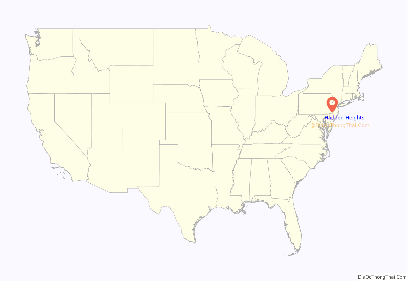
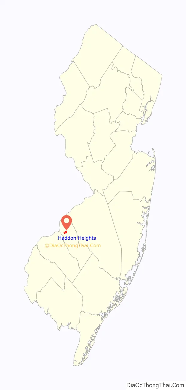
Haddon Heights location map. Where is Haddon Heights borough?
History
The land that was to become Haddon Heights was settled in 1699 by John Hinchman. In 1713, John Siddon built a farmhouse near Hinchman’s property. John Thorn Glover dammed King’s Run and constructed a mill race and fulling mill on this property before 1776. Jacob Hinchman built a frame dwelling no later than 1720 that was later enlarged by American Revolutionary War hero Col. Joseph Ellis. It is currently referred to as the Col. Joseph Ellis House. New Jersey governor Joseph Bloomfield later purchased this property.
In 1890, Benjamin A. Lippincott constructed a passenger station in the center of his land for the Atlantic City Railroad. Then Lippincott, with Charles Hillman, filed a grid street plan with Camden County to develop a community. They named it Haddon Heights because of its proximity to Haddonfield and its high elevation. Large houses were constructed that appealed to prosperous middle-class families moving from the cities. In 1904, Haddon Heights was incorporated as a borough and Lippincott was elected mayor. A small downtown grew near the railroad and the White Horse Pike and eight churches and a synagogue were built. An area of old Centre Township, known as Fairfield Estates, voted in 1926 to become part of Haddon Heights. This land was developed for more single-family housing through the 1940s and 1950s. Even though rail passenger service was suspended in July 1965, Haddon Heights remains a typical turn-of-the-twentieth-century railroad suburb with tree-shaded streets and comfortable homes.
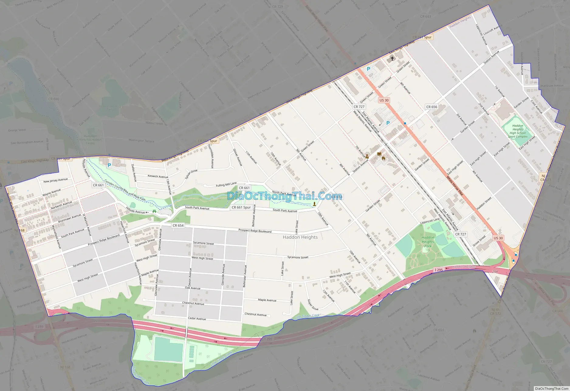
Haddon Heights Road Map
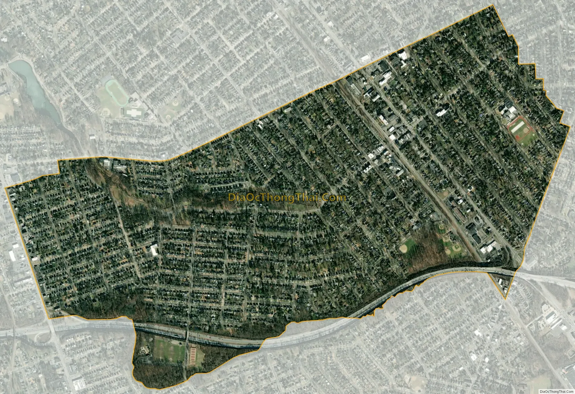
Haddon Heights city Satellite Map
Geography
According to the United States Census Bureau, the borough had a total area of 1.57 square miles (4.07 km), including 1.57 square miles (4.06 km) of land and 0.01 square miles (0.01 km) of water (0.32%).
The borough borders Audubon, Barrington, Bellmawr, Haddonfield, Haddon Township and Mount Ephraim.
See also
Map of New Jersey State and its subdivision: Map of other states:- Alabama
- Alaska
- Arizona
- Arkansas
- California
- Colorado
- Connecticut
- Delaware
- District of Columbia
- Florida
- Georgia
- Hawaii
- Idaho
- Illinois
- Indiana
- Iowa
- Kansas
- Kentucky
- Louisiana
- Maine
- Maryland
- Massachusetts
- Michigan
- Minnesota
- Mississippi
- Missouri
- Montana
- Nebraska
- Nevada
- New Hampshire
- New Jersey
- New Mexico
- New York
- North Carolina
- North Dakota
- Ohio
- Oklahoma
- Oregon
- Pennsylvania
- Rhode Island
- South Carolina
- South Dakota
- Tennessee
- Texas
- Utah
- Vermont
- Virginia
- Washington
- West Virginia
- Wisconsin
- Wyoming


