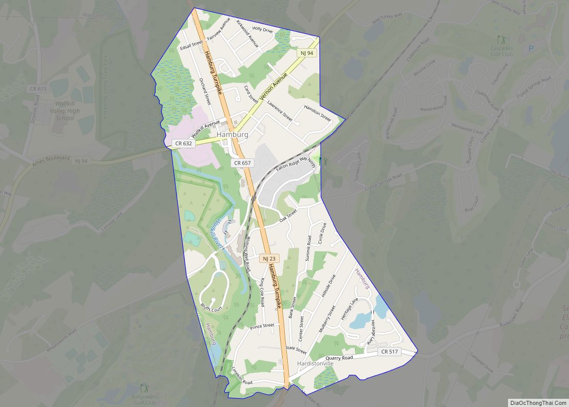
Hamburg is a borough in Sussex County, in the U.S. state of New Jersey. As of the 2020 United States census, the borough’s population was 3,266, a decrease of 11 (−0.3%) from the 2010 census count of 3,277, which in turn reflected an increase of 172 (+5.5%) from the 3,105 counted at the 2000 census. The United States Census Bureau’s Population Estimates Program calculated that the population of Hamburg increased by 16 (+0.5%) to 3,282 in 2021.
In 1753, when Sussex County was formed from portions of Morris County, the area of present-day Hamburg was part of New Town; on February 25, 1762, it became part of the newly established Hardyston Township. On April 8, 1793, when Vernon Township was formed from Hardyston, Hamburg was included within the boundaries of Vernon. In 1852, the boundary line was changed so that Hamburg was again in Hardyston Township. Hamburg was incorporated as a borough on March 19, 1920, from portions of Hardyston Township, based on the results of a referendum held on April 24, 1920. The borough was named after Hamburg, Germany.
| Name: | Hamburg borough |
|---|---|
| LSAD Code: | 21 |
| LSAD Description: | borough (suffix) |
| State: | New Jersey |
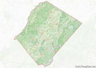
| County: | Sussex County |
| Incorporated: | April 24, 1920 |
| Elevation: | 538 ft (164 m) |
| Total Area: | 1.17 sq mi (3.03 km²) |
| Land Area: | 1.15 sq mi (2.96 km²) |
| Water Area: | 0.02 sq mi (0.06 km²) 2.05% |
| Total Population: | 3,266 |
| Population Density: | 2,853.1/sq mi (1,101.6/km²) |
| ZIP code: | 07419 |
| Area code: | 973 |
| FIPS code: | 3429220 |
| GNISfeature ID: | 885241 |
| Website: | www.hamburgnj.org |
Online Interactive Map
Click on ![]() to view map in "full screen" mode.
to view map in "full screen" mode.
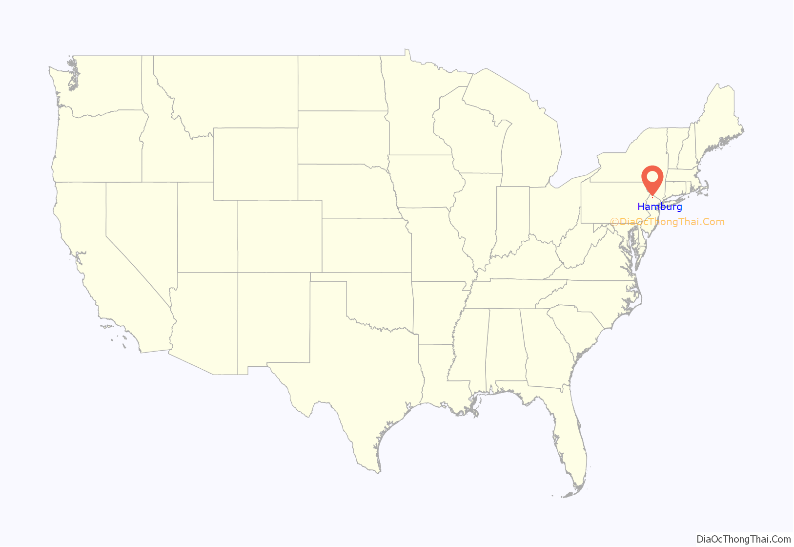
Hamburg location map. Where is Hamburg borough?
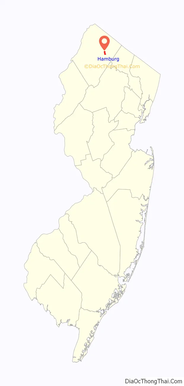
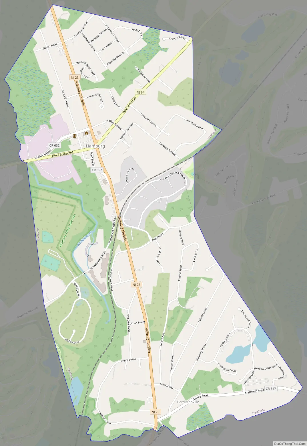
Hamburg Road Map
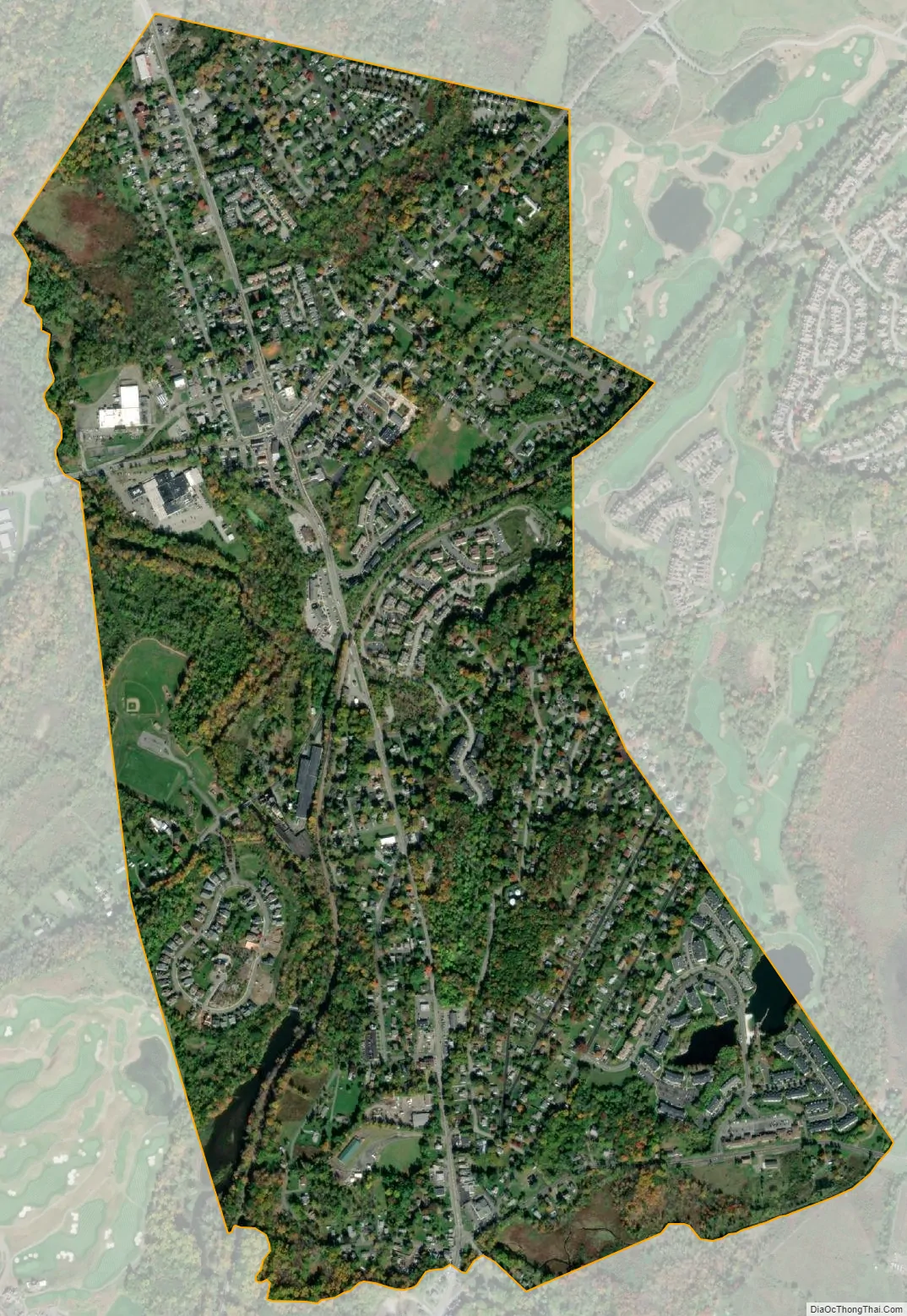
Hamburg city Satellite Map
Geography
According to the United States Census Bureau, the borough had a total area of 1.17 square miles (3.03 km), including 1.15 square miles (2.96 km) of land and 0.02 square miles (0.06 km) of water (2.05%).
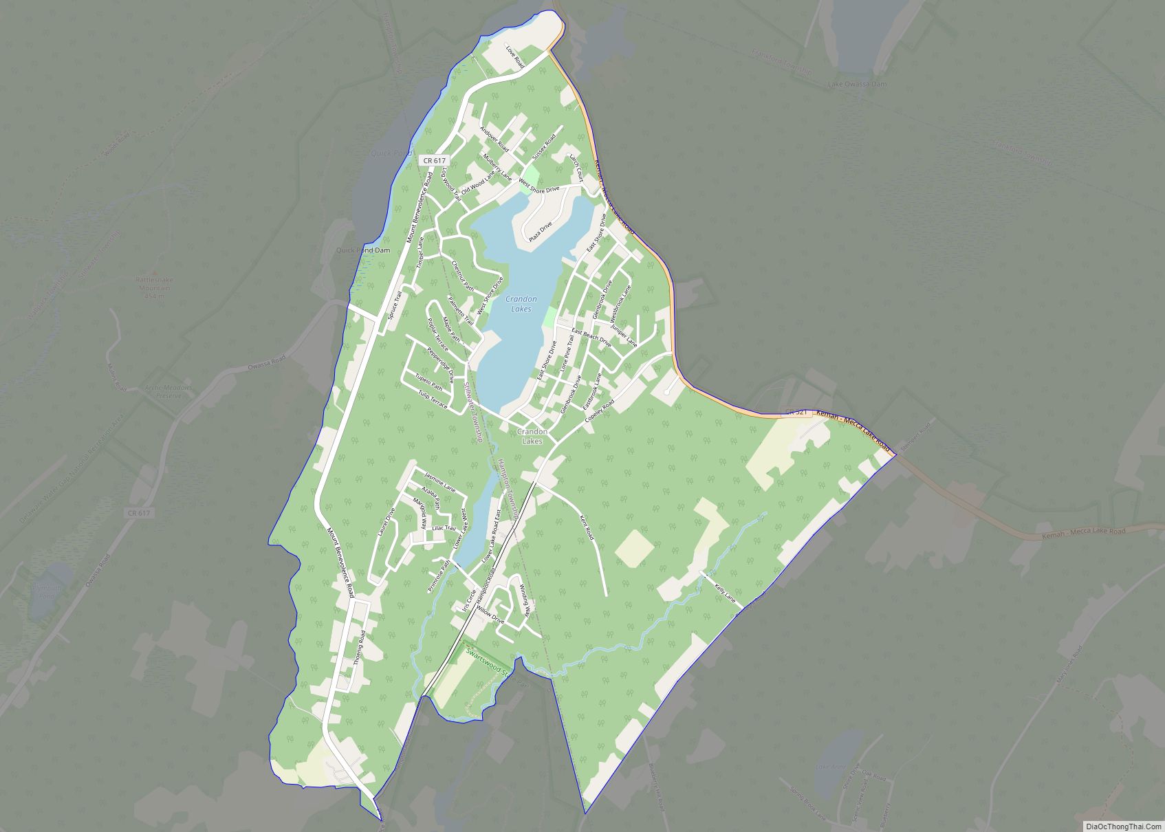
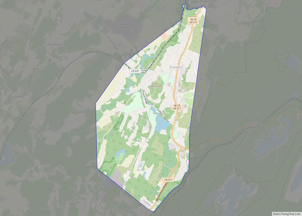
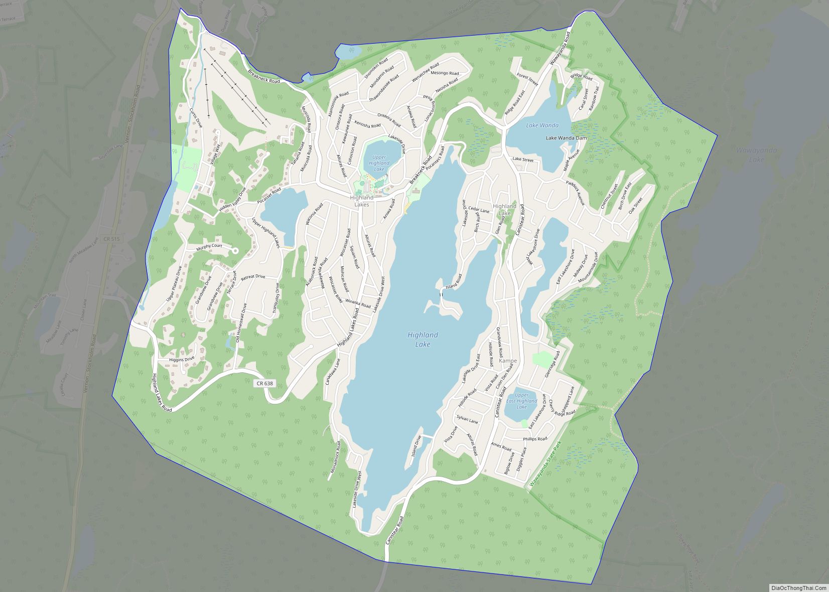
Hamburg borders the Sussex County municipalities of Franklin and Hardyston Township.
See also
Map of New Jersey State and its subdivision: Map of other states:- Alabama
- Alaska
- Arizona
- Arkansas
- California
- Colorado
- Connecticut
- Delaware
- District of Columbia
- Florida
- Georgia
- Hawaii
- Idaho
- Illinois
- Indiana
- Iowa
- Kansas
- Kentucky
- Louisiana
- Maine
- Maryland
- Massachusetts
- Michigan
- Minnesota
- Mississippi
- Missouri
- Montana
- Nebraska
- Nevada
- New Hampshire
- New Jersey
- New Mexico
- New York
- North Carolina
- North Dakota
- Ohio
- Oklahoma
- Oregon
- Pennsylvania
- Rhode Island
- South Carolina
- South Dakota
- Tennessee
- Texas
- Utah
- Vermont
- Virginia
- Washington
- West Virginia
- Wisconsin
- Wyoming