Harlingen is an unincorporated community and census-designated place (CDP) located within Montgomery Township, in Somerset County, New Jersey, United States. As of the 2010 United States Census, the CDP’s population was 297.
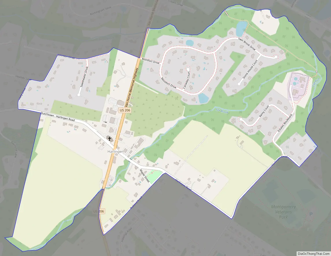
It is adjacent to the historical areas of Dutchtown and Bridgepoint. Harlingen Road and U.S. Route 206 intersect in the center of Harlingen. The Harlingen Dutch Reformed Church on Route 206 is extant and had an associated cemetery. The town was a stop on the short-lived Mercer and Somerset Railway.
| Name: | Harlingen CDP |
|---|---|
| LSAD Code: | 57 |
| LSAD Description: | CDP (suffix) |
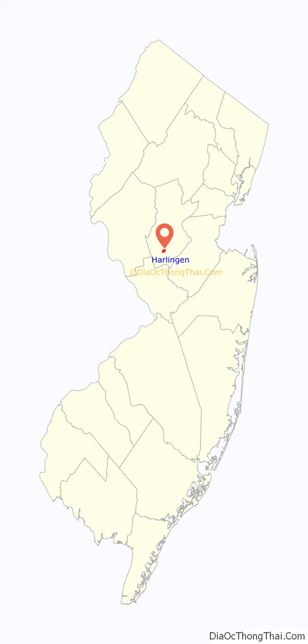
| State: | New Jersey |
| County: | Somerset County |
| Elevation: | 79 ft (24 m) |
| Total Area: | 0.81 sq mi (2.09 km²) |
| Land Area: | 0.81 sq mi (2.09 km²) |
| Water Area: | 0.00 sq mi (0.00 km²) 0.00% |
| Total Population: | 430 |
| Population Density: | 533.50/sq mi (205.88/km²) |
| Area code: | 609/640 and 732/848 |
| FIPS code: | 3429940 |
| GNISfeature ID: | 02584000 |
Online Interactive Map
Click on ![]() to view map in "full screen" mode.
to view map in "full screen" mode.
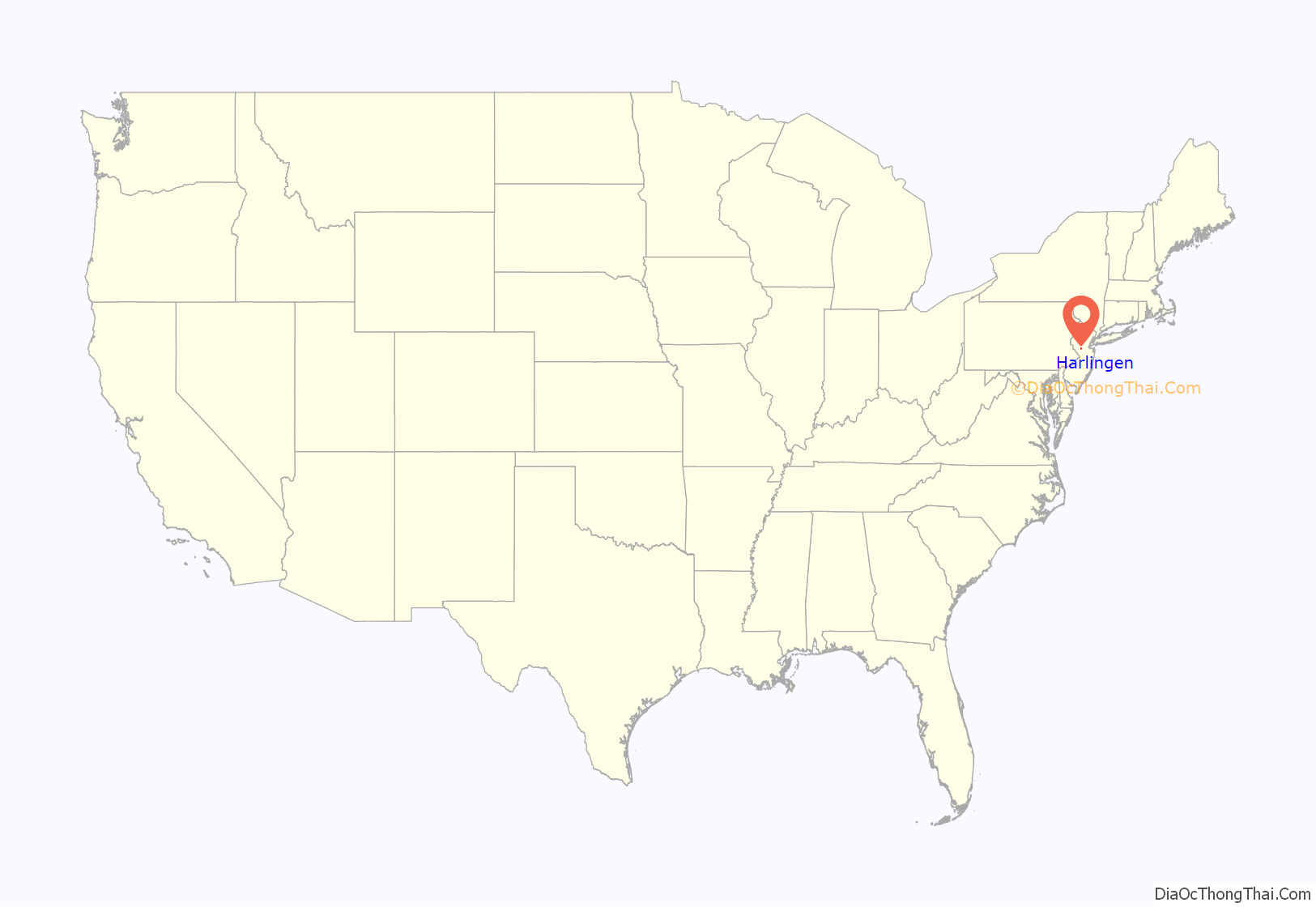
Harlingen location map. Where is Harlingen CDP?
Harlingen Road Map
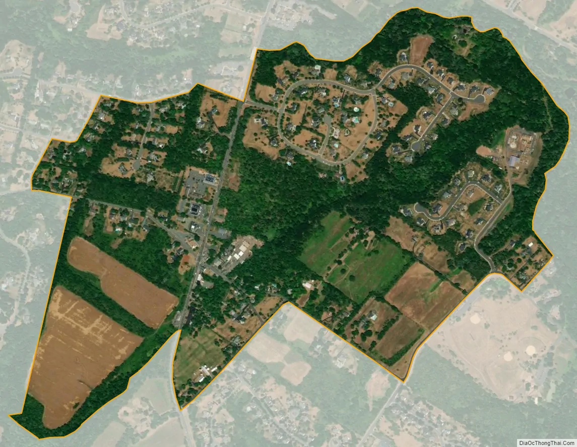
Harlingen city Satellite Map
Geography
According to the United States Census Bureau, Harlingen had a total area of 0.717 square mile (1.858 km), all of which was land.
See also
Map of New Jersey State and its subdivision: Map of other states:- Alabama
- Alaska
- Arizona
- Arkansas
- California
- Colorado
- Connecticut
- Delaware
- District of Columbia
- Florida
- Georgia
- Hawaii
- Idaho
- Illinois
- Indiana
- Iowa
- Kansas
- Kentucky
- Louisiana
- Maine
- Maryland
- Massachusetts
- Michigan
- Minnesota
- Mississippi
- Missouri
- Montana
- Nebraska
- Nevada
- New Hampshire
- New Jersey
- New Mexico
- New York
- North Carolina
- North Dakota
- Ohio
- Oklahoma
- Oregon
- Pennsylvania
- Rhode Island
- South Carolina
- South Dakota
- Tennessee
- Texas
- Utah
- Vermont
- Virginia
- Washington
- West Virginia
- Wisconsin
- Wyoming


