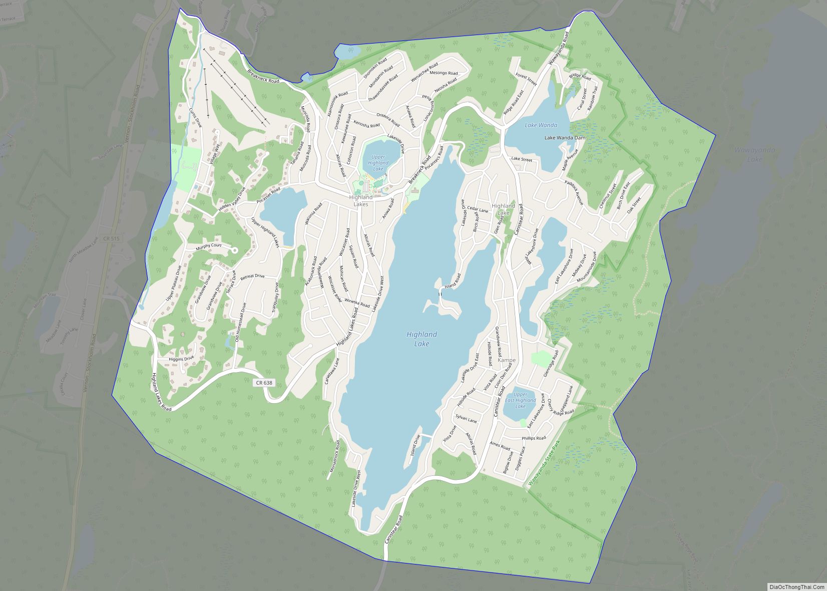
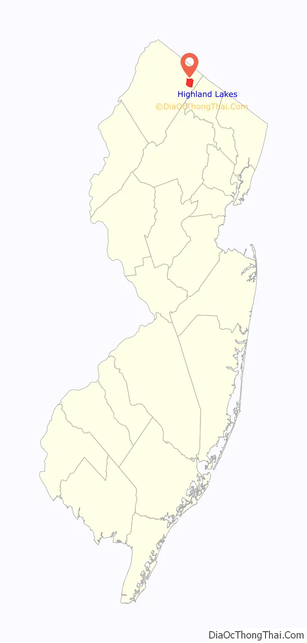
Highland Lakes is an unincorporated community and census-designated place (CDP) located within Vernon Township, in Sussex County, in the U.S. state of New Jersey. As of the 2010 United States Census, the CDP’s population was 4,933. Highland Lakes has its own Post Office with the ZIP code 07422.
| Name: | Highland Lakes CDP |
|---|---|
| LSAD Code: | 57 |
| LSAD Description: | CDP (suffix) |
| State: | New Jersey |
| County: | Sussex County |
| Elevation: | 1,276 ft (389 m) |
| Total Area: | 4.98 sq mi (12.91 km²) |
| Land Area: | 4.32 sq mi (11.19 km²) |
| Water Area: | 0.66 sq mi (1.71 km²) 16.86% |
| Total Population: | 4,816 |
| Population Density: | 1,114.30/sq mi (430.19/km²) |
| ZIP code: | 07422 |
| Area code: | 973 Exchange:764 |
| FIPS code: | 3431410 |
| GNISfeature ID: | 02389926 |
Online Interactive Map
Click on ![]() to view map in "full screen" mode.
to view map in "full screen" mode.
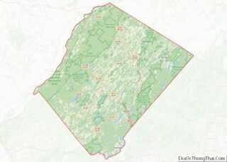
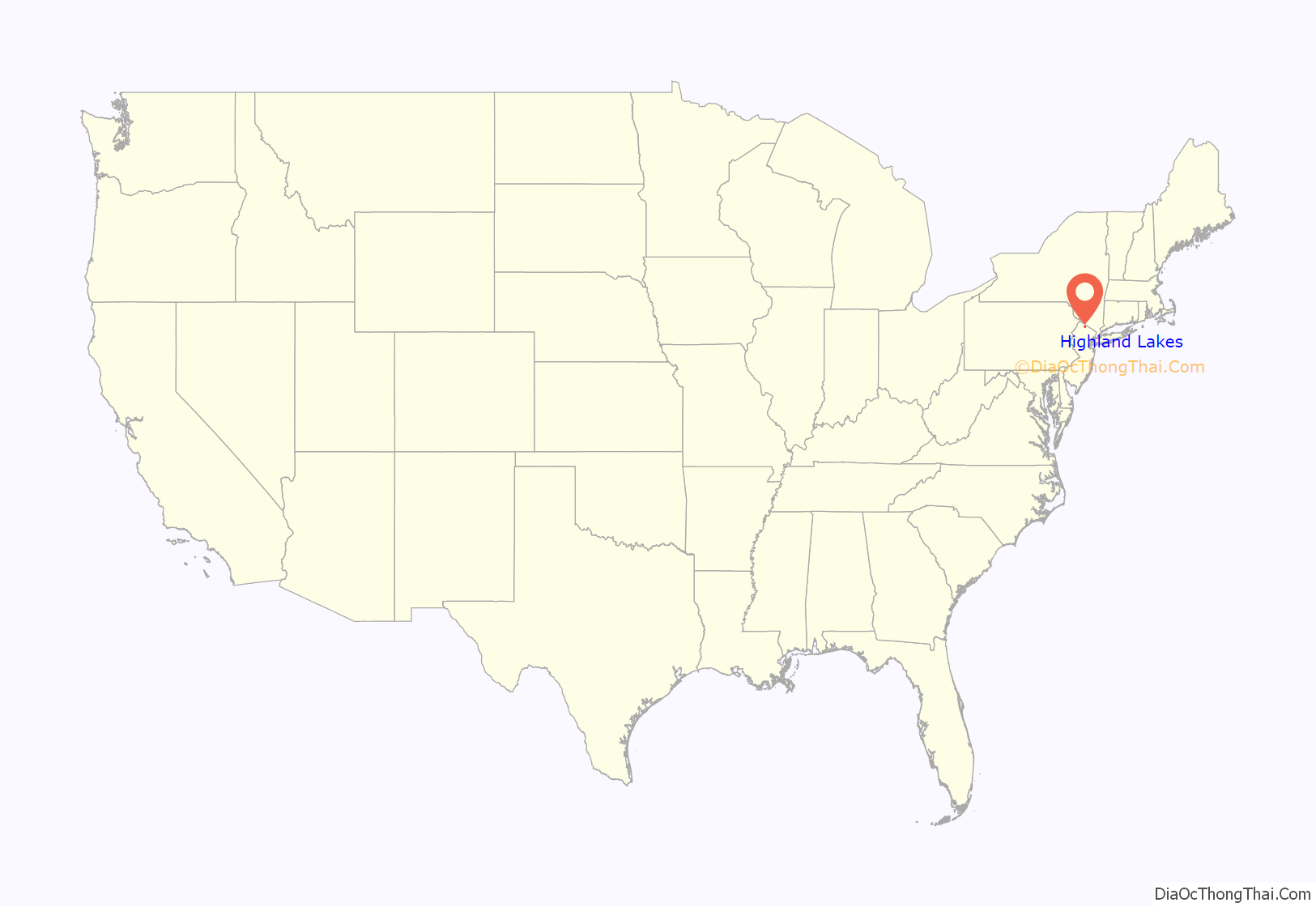
Highland Lakes location map. Where is Highland Lakes CDP?
History
The community was mistakenly referred to as Highland Lake (missing the plural “s”) by the United States Census Bureau from the 1990 to 2010 censuses
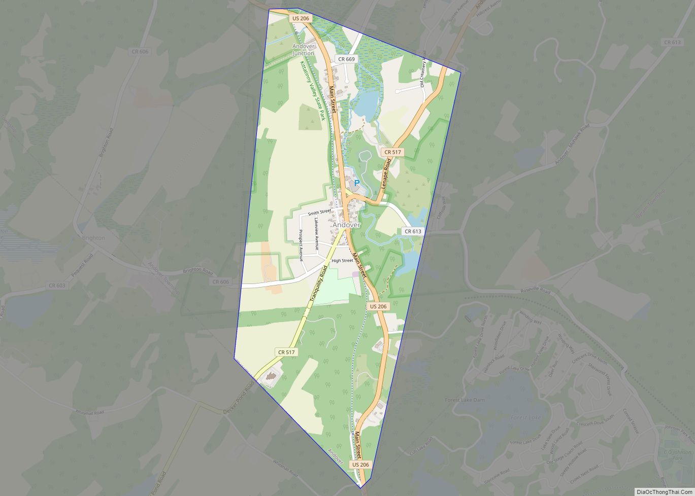
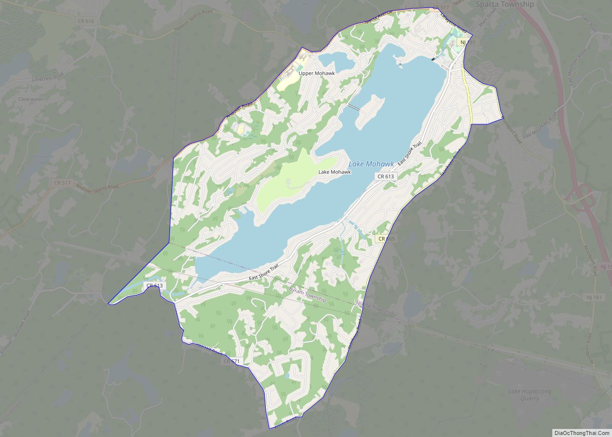
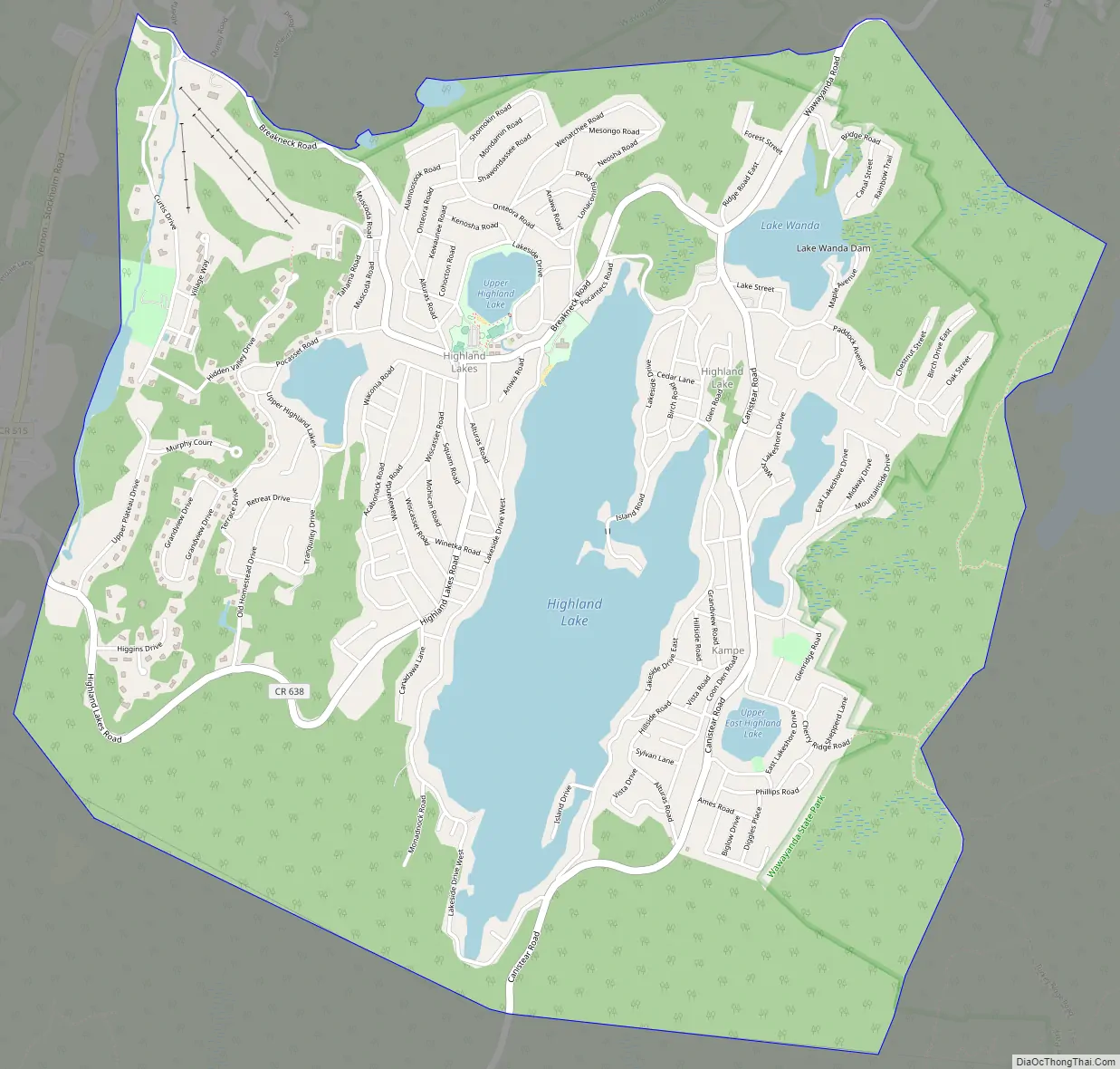
Highland Lakes Road Map
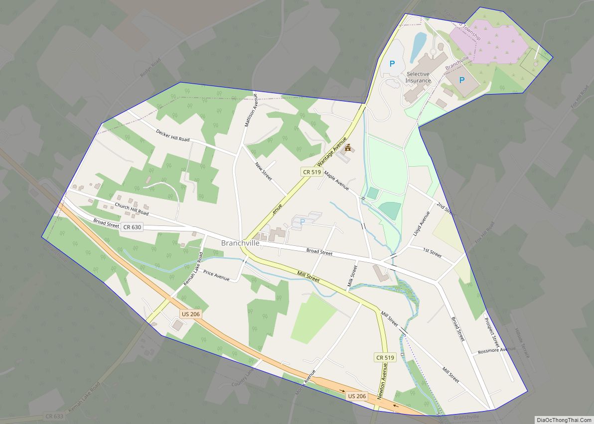
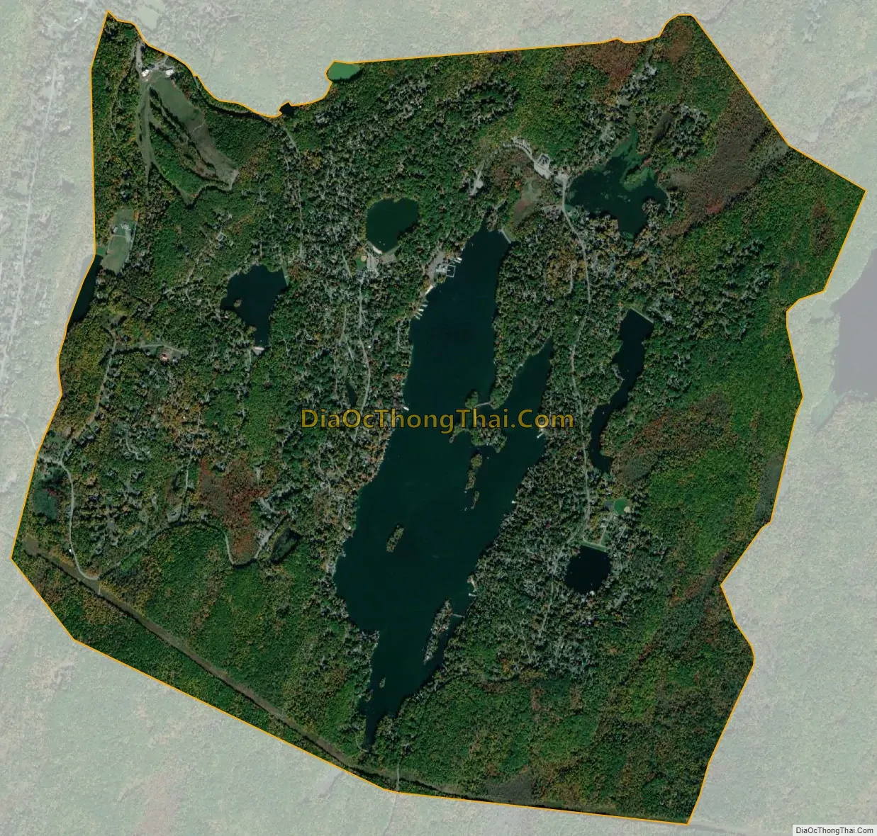
Highland Lakes city Satellite Map
Geography
According to the United States Census Bureau, the CDP had a total area of 6.099 square miles (15.797 km), including 5.071 square miles (13.134 km) of land and 1.028 square miles (2.663 km) of water (16.86%).
See also
Map of New Jersey State and its subdivision: Map of other states:- Alabama
- Alaska
- Arizona
- Arkansas
- California
- Colorado
- Connecticut
- Delaware
- District of Columbia
- Florida
- Georgia
- Hawaii
- Idaho
- Illinois
- Indiana
- Iowa
- Kansas
- Kentucky
- Louisiana
- Maine
- Maryland
- Massachusetts
- Michigan
- Minnesota
- Mississippi
- Missouri
- Montana
- Nebraska
- Nevada
- New Hampshire
- New Jersey
- New Mexico
- New York
- North Carolina
- North Dakota
- Ohio
- Oklahoma
- Oregon
- Pennsylvania
- Rhode Island
- South Carolina
- South Dakota
- Tennessee
- Texas
- Utah
- Vermont
- Virginia
- Washington
- West Virginia
- Wisconsin
- Wyoming