Iselin /ˈɪzˈlɪn/ is an unincorporated community and census-designated place (CDP) located within Woodbridge Township, in Middlesex County, in the U.S. state of New Jersey. As of the 2010 United States census, Iselin’s population was 18,695.
Previously known as Perrytown and Unionville, Iselin received its current name after New York City investment banker and philanthropist Adrian Iselin, who established a finishing school in the 1870s for girls from wealthy New York families there. Iselin additionally subsidized the erection of a new train station which was replaced by a newer station to the south known as Metropark. The largest bordering town of Iselin is Edison.
| Name: | Iselin CDP |
|---|---|
| LSAD Code: | 57 |
| LSAD Description: | CDP (suffix) |
| State: | New Jersey |
| County: | Middlesex County |
| Elevation: | 30 ft (9 m) |
| Total Area: | 3.15 sq mi (8.17 km²) |
| Land Area: | 3.15 sq mi (8.16 km²) |
| Water Area: | 0.00 sq mi (0.00 km²) 0.03% |
| Total Population: | 20,088 |
| Population Density: | 6,373.10/sq mi (2,460.91/km²) |
| ZIP code: | 08830 |
| Area code: | 732/848 |
| FIPS code: | 3434470 |
| GNISfeature ID: | 2389973 |
Online Interactive Map
Click on ![]() to view map in "full screen" mode.
to view map in "full screen" mode.
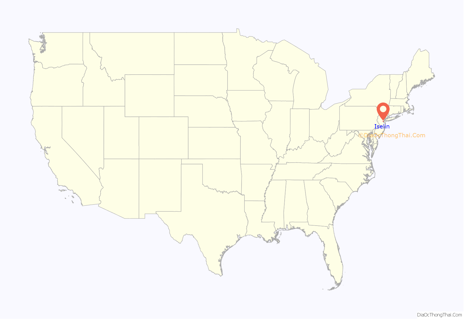
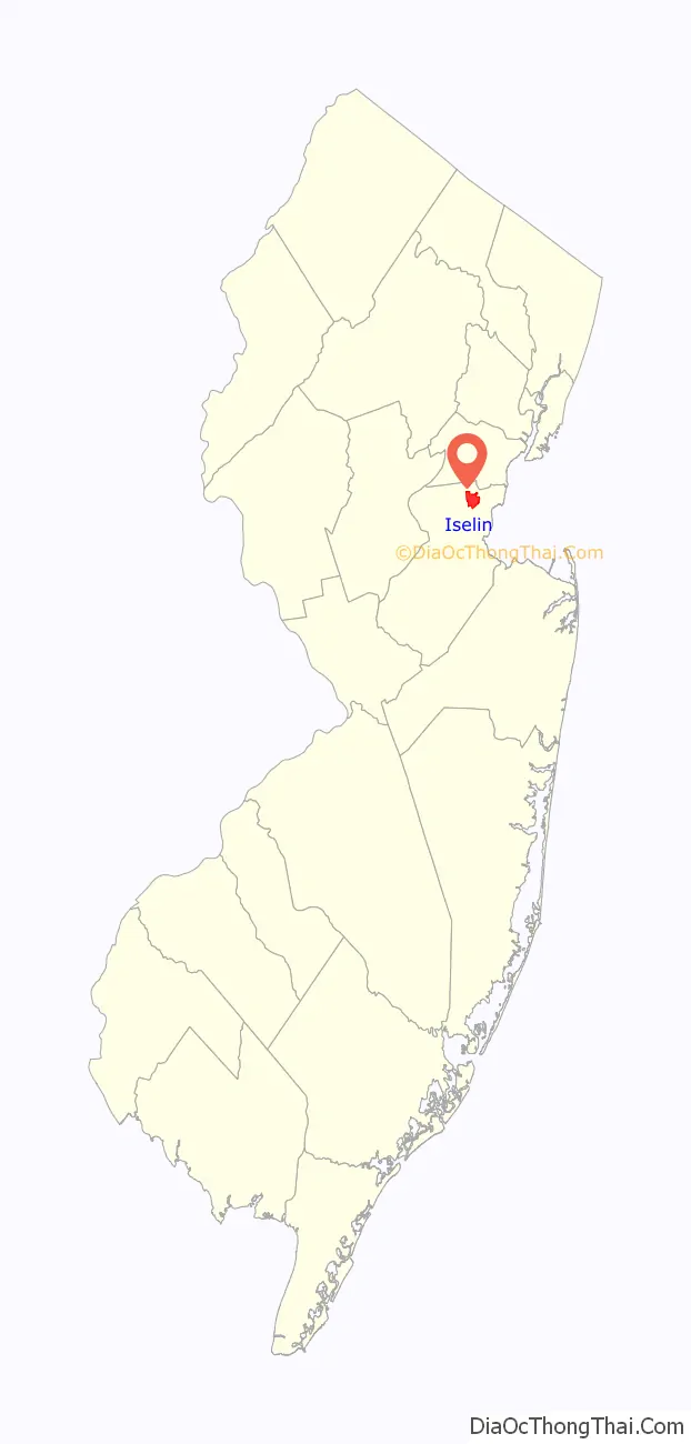
Iselin location map. Where is Iselin CDP?
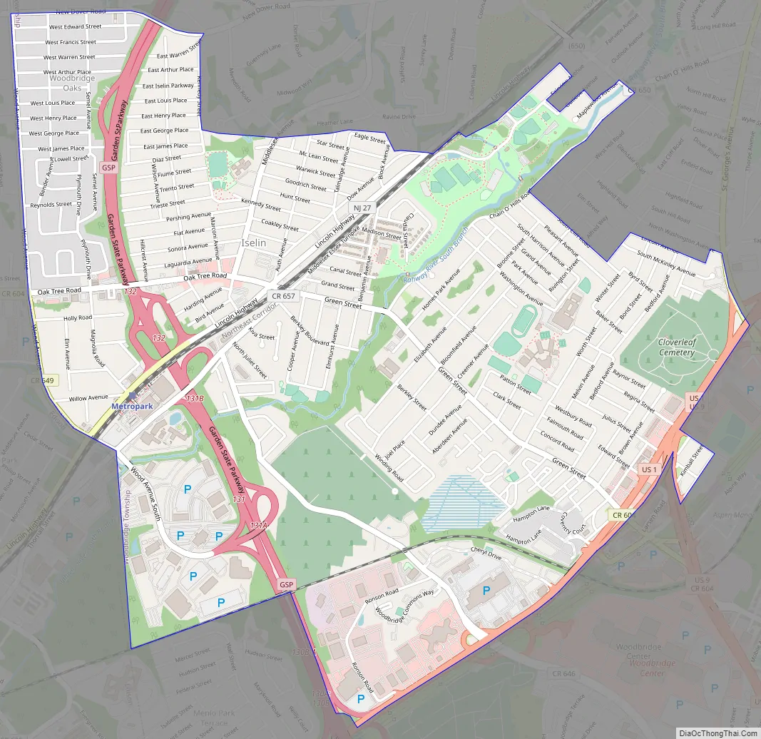
Iselin Road Map
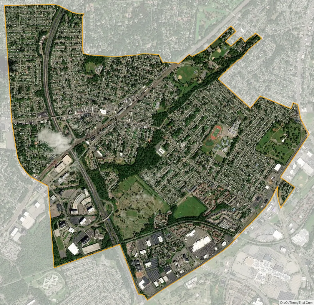
Iselin city Satellite Map
Geography
According to the U.S. Census Bureau, Iselin had a total area of 3.190 square miles (8.263 km), including 3.189 square miles (8.261 km) of land and 0.001 square miles (0.003 km) of water (0.03%).
Downtown area
Iselin’s downtown is centered on Little India (also known as “Oak Tree Road”), bound by the Garden State Parkway to the West, and Route 27 (Lincoln Highway) to the East. Once home to a wide array of shops, eateries, services, and complemented by a single-screen 1920s movie palace, the area was in obvious decline in the 1980s. An influx of Asian-Indian immigration beginning in the early 1990s led to the area’s revitalization. Formerly vacant stores were tenanted, and additional retail spaces built as the area became known for its high quality Indian food, sweets, clothing (particularly saris), jewelry, music, and other goods.
Metropark
An area known as Metropark, consisting primarily of office parks and large office buildings, lies in the southwestern corner of Iselin and spills over into neighboring Edison. NJ Transit and Amtrak’s Metropark station is named for this area.
In addition to a Hilton Hotel (now known as Hotel Woodbridge at Metropark) and the train station, Metropark also features the headquarters of Ansell Limited, Engelhard Corporation (acquired by BASF in 2006) and Eaton Corporation’s Filtration Division. Other corporate residents in the area include Siemens, Tata Consultancy Services, Mott MacDonald, Ernst & Young, Mizuho, Wells Fargo, JPMorgan Chase, Accenture, Level 3 Communications, BT Group, UBS, Anthem, Teachers Insurance and Annuity Association of America, Ansell, and EisnerAmper.
See also
Map of New Jersey State and its subdivision: Map of other states:- Alabama
- Alaska
- Arizona
- Arkansas
- California
- Colorado
- Connecticut
- Delaware
- District of Columbia
- Florida
- Georgia
- Hawaii
- Idaho
- Illinois
- Indiana
- Iowa
- Kansas
- Kentucky
- Louisiana
- Maine
- Maryland
- Massachusetts
- Michigan
- Minnesota
- Mississippi
- Missouri
- Montana
- Nebraska
- Nevada
- New Hampshire
- New Jersey
- New Mexico
- New York
- North Carolina
- North Dakota
- Ohio
- Oklahoma
- Oregon
- Pennsylvania
- Rhode Island
- South Carolina
- South Dakota
- Tennessee
- Texas
- Utah
- Vermont
- Virginia
- Washington
- West Virginia
- Wisconsin
- Wyoming


