Jamesburg is a borough in Middlesex County, in the U.S. state of New Jersey. As of the 2020 United States census, the borough’s population was 5,783, a decrease of 132 (−2.2%) from the 2010 census count of 5,915, which in turn reflected a decline of 110 (−1.8%) from the 6,025 counted at the 2000 census.
| Name: | Jamesburg borough |
|---|---|
| LSAD Code: | 21 |
| LSAD Description: | borough (suffix) |
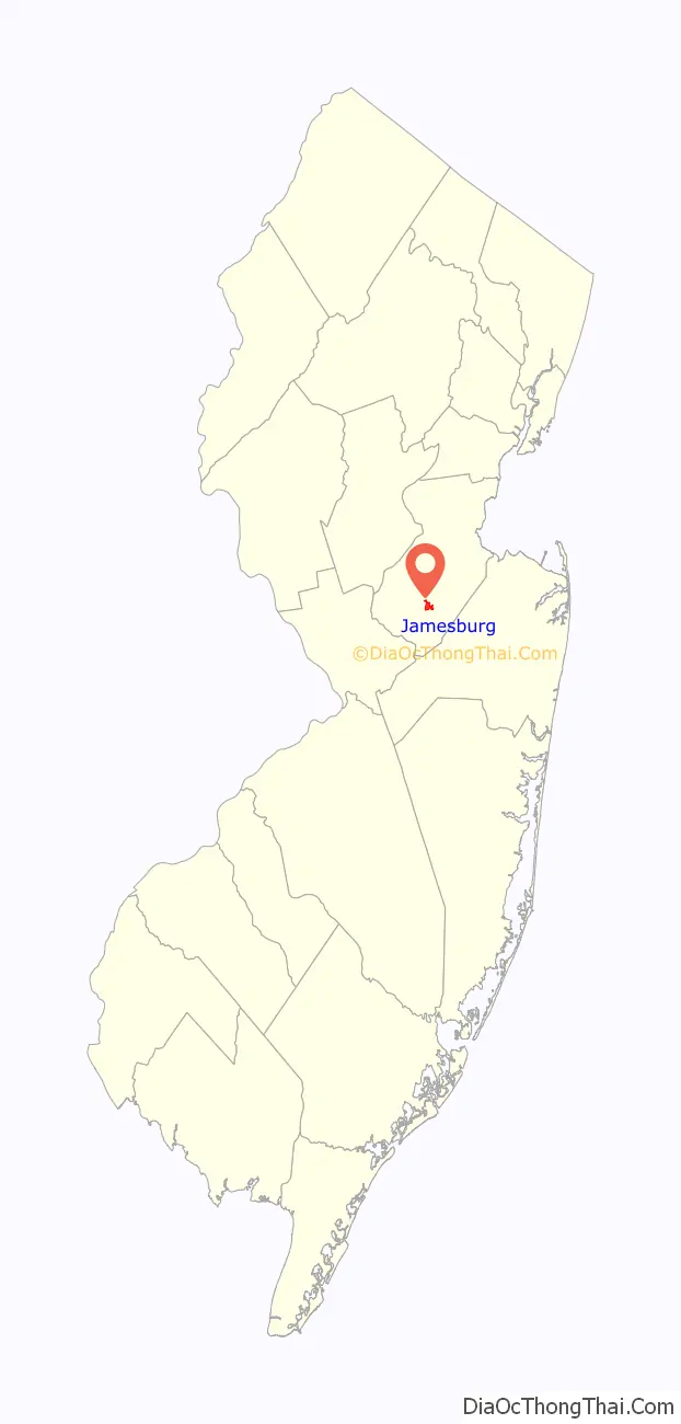
| State: | New Jersey |
| County: | Middlesex County |
| Incorporated: | March 19, 1887 |
| Elevation: | 85 ft (26 m) |
| Total Area: | 0.89 sq mi (2.31 km²) |
| Land Area: | 0.88 sq mi (2.29 km²) |
| Water Area: | 0.01 sq mi (0.02 km²) 0.90% |
| Total Population: | 5,783 |
| Population Density: | 6,556.7/sq mi (2,531.6/km²) |
| ZIP code: | 08831 |
| Area code: | 732 exchanges 521,605 and 656 |
| FIPS code: | 3434890 |
| GNISfeature ID: | 0885263 |
| Website: | www.jamesburgborough.org |
Online Interactive Map
Click on ![]() to view map in "full screen" mode.
to view map in "full screen" mode.
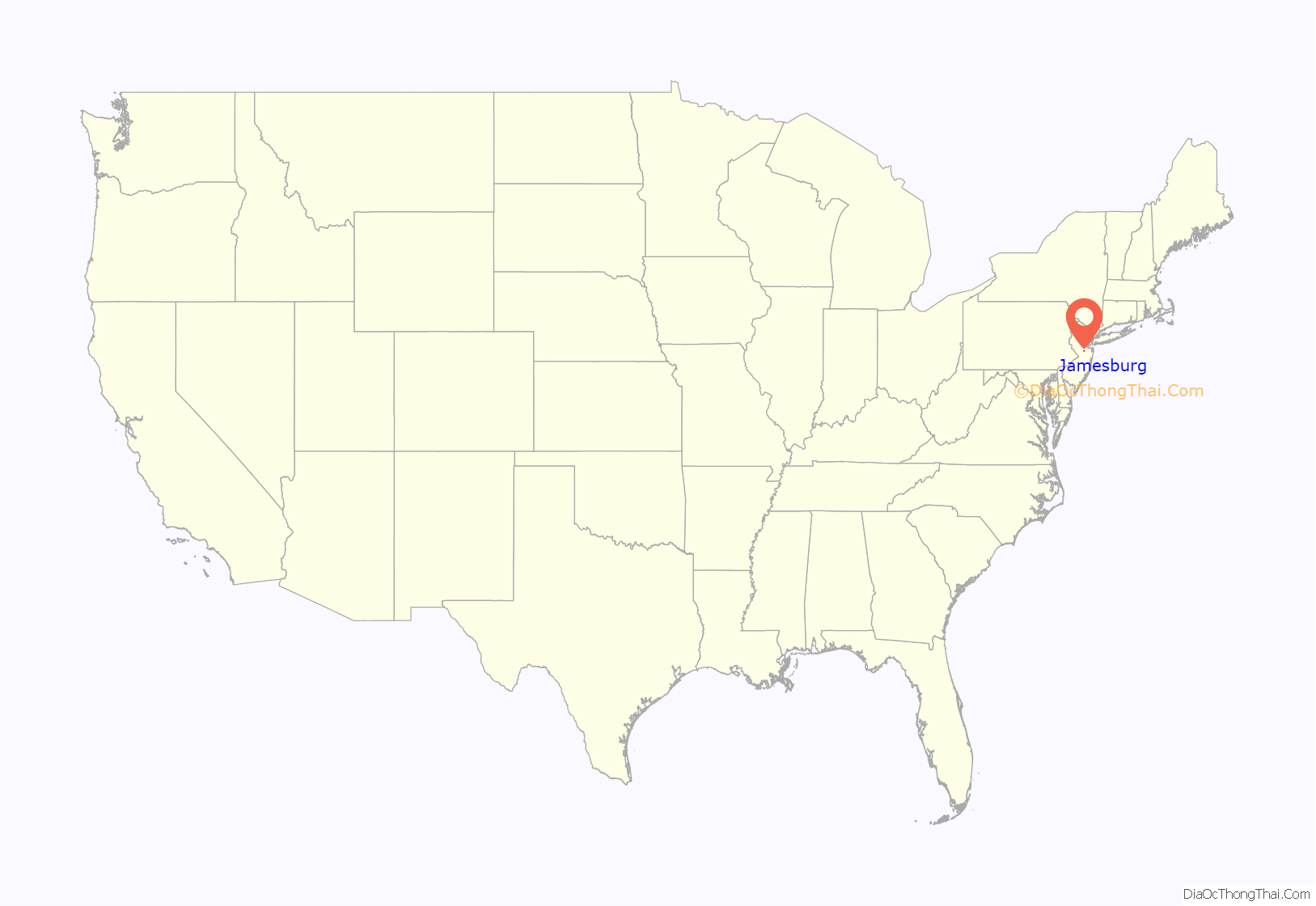
Jamesburg location map. Where is Jamesburg borough?
History
Jamesburg was formed as a borough by an act of the New Jersey Legislature on March 19, 1887, when it was created from portions of Monroe Township, based on the results of a referendum held on March 15, 1887. Jamesburg’s incorporation was confirmed on April 15, 1915.
The borough was named for James Buckelew, who established a mill that became the nucleus of what is now Jamesburg. After Monroe Township officials refused to admit an African-American student into one of its schools, Buckelew funded the construction of a school located at the corner of Church Street and Gatzmer Avenue that would be open to all children. The school was named in his honor and became the derivation of the borough’s name.
On July 17, 2005, approximately 7 to 8 inches (18 to 20 cm) of rain fell in Jamesburg, flooding areas on West Railroad Avenue, East Church Street, Pergola Avenue, Willow Street, Forsgate Drive, and Gatzmer Avenue. Roughly 75 to 100 families were evacuated from their homes and housed at the John F. Kennedy Elementary School.
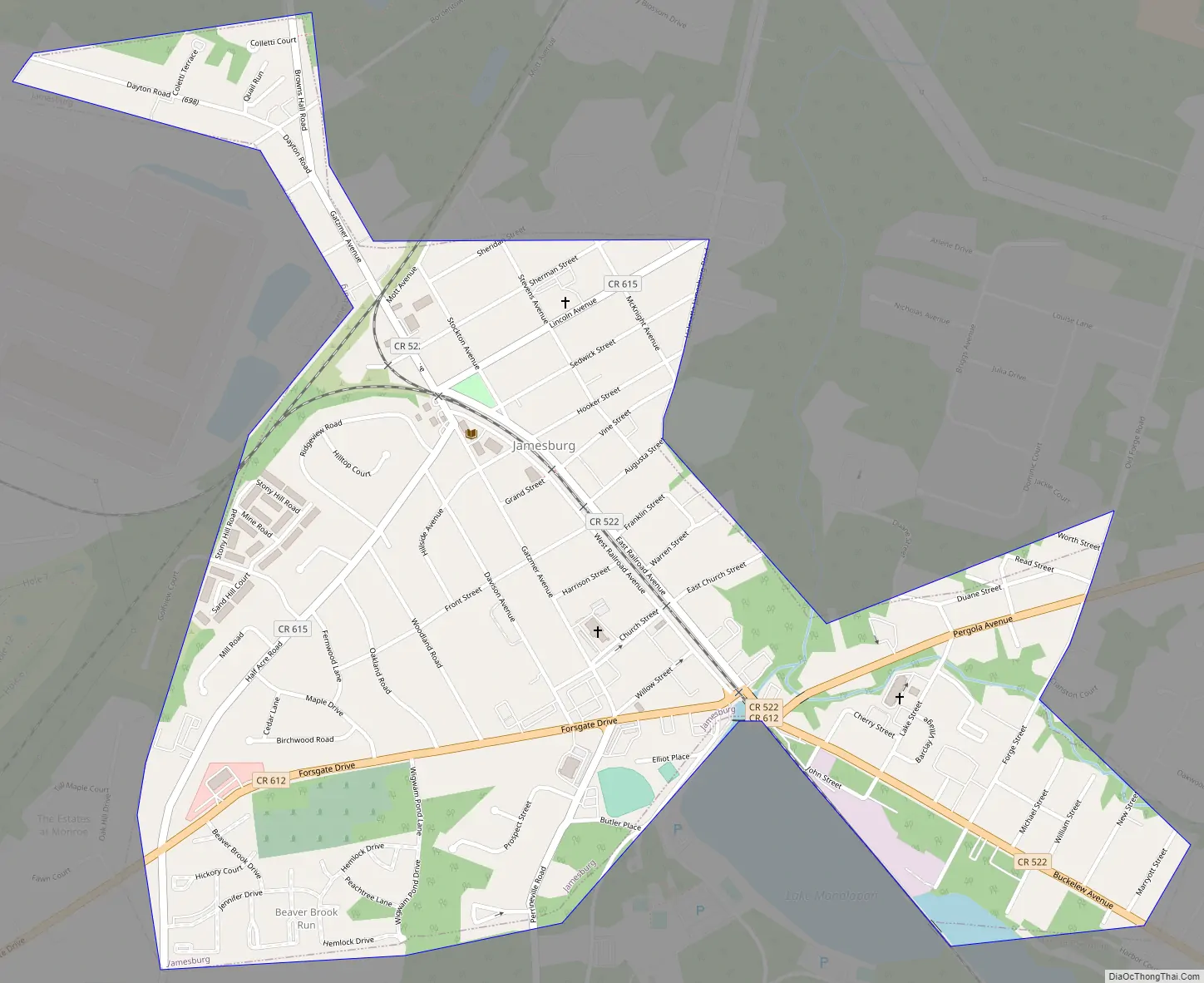
Jamesburg Road Map
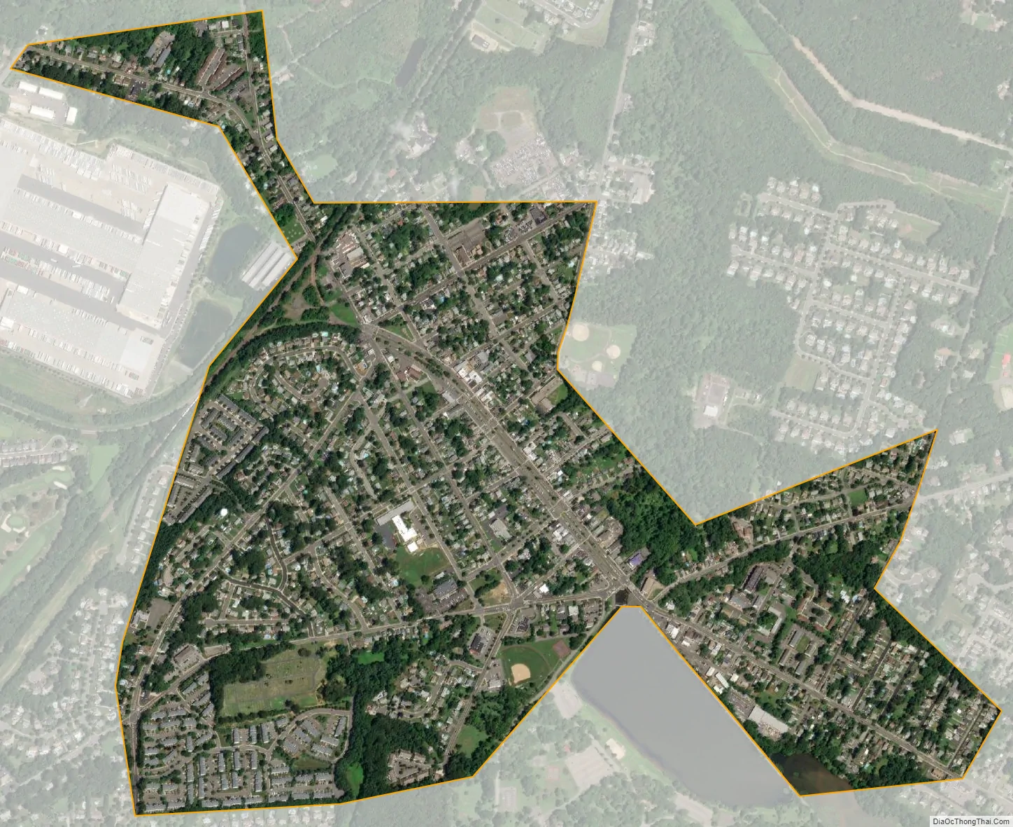
Jamesburg city Satellite Map
Geography
According to the United States Census Bureau, the borough had a total area of 0.89 square miles (2.31 km), including 0.88 square miles (2.29 km) of land and 0.01 square miles (0.02 km) of water (0.90%).
The borough is the older and more urban core area located in the center of and completely surrounded by Monroe Township, making it part of 21 pairs of “doughnut towns” in the state, where one municipality entirely surrounds another.
See also
Map of New Jersey State and its subdivision: Map of other states:- Alabama
- Alaska
- Arizona
- Arkansas
- California
- Colorado
- Connecticut
- Delaware
- District of Columbia
- Florida
- Georgia
- Hawaii
- Idaho
- Illinois
- Indiana
- Iowa
- Kansas
- Kentucky
- Louisiana
- Maine
- Maryland
- Massachusetts
- Michigan
- Minnesota
- Mississippi
- Missouri
- Montana
- Nebraska
- Nevada
- New Hampshire
- New Jersey
- New Mexico
- New York
- North Carolina
- North Dakota
- Ohio
- Oklahoma
- Oregon
- Pennsylvania
- Rhode Island
- South Carolina
- South Dakota
- Tennessee
- Texas
- Utah
- Vermont
- Virginia
- Washington
- West Virginia
- Wisconsin
- Wyoming


