Kendall Park is an unincorporated community and census-designated place (CDP) located within South Brunswick Township, in Middlesex County, New Jersey, United States. As of the 2010 United States Census, the CDP’s population was 9,339. Kendall Park has a post office with its own ZIP code (08824) that encompasses the entire CDP, as well as some surrounding areas.
Kendall Park gets its name from its builder, Herbert Kendall, who built a planned community of 1,500 houses between 1956 and 1961. Kendall’s development was built in three stages: the initial development in 1956-7 (between New Road and Sand Hill Road), the Constable development in 1959 (south of New Road), followed by the Greenbrook development (north of Sand Hill Road) in 1961. The initial development offered two styles of 3-bedroom, 1½ bath ranch-style homes, mostly built on 1/3 acre lots, typically selling for around $16,000 in 1957. The subsequent sections offered a wider selection of styles, including 4-bedroom ranches and 4-bedroom colonial-style homes. The development of Kendall Park doubled the population of South Brunswick Township and marked the beginning of its transformation from a rural farming area to a suburban bedroom community. Several other nearby tracts developed after Kendall’s original development are also part of the CDP.
The Hoagland-Clark House, which dates back to the late 18th century, is a remnant of the earlier era, and was identified by Preservation New Jersey as one of the most vulnerable landmarks in New Jersey.
| Name: | Kendall Park CDP |
|---|---|
| LSAD Code: | 57 |
| LSAD Description: | CDP (suffix) |
| State: | New Jersey |
| County: | Middlesex County |
| Elevation: | 184 ft (56 m) |
| Total Area: | 3.78 sq mi (9.80 km²) |
| Land Area: | 3.78 sq mi (9.79 km²) |
| Water Area: | 0.00 sq mi (0.01 km²) 0.06% |
| Total Population: | 9,989 |
| Population Density: | 2,642.59/sq mi (1,020.30/km²) |
| ZIP code: | 08824 |
| Area code: | 732/848 |
| FIPS code: | 3436660 |
| GNISfeature ID: | 02389913 |
Online Interactive Map
Click on ![]() to view map in "full screen" mode.
to view map in "full screen" mode.
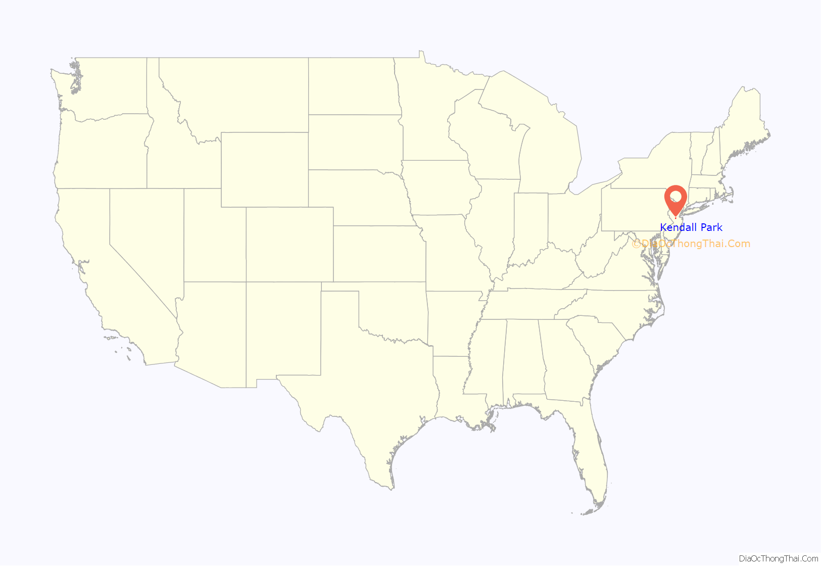
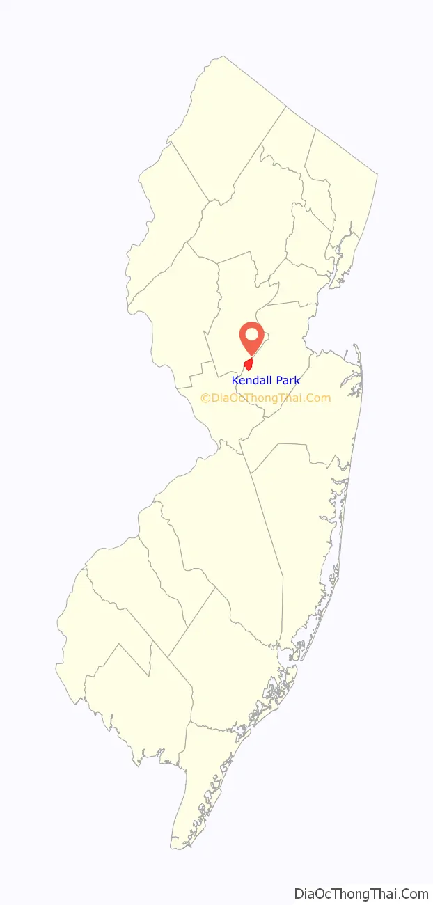
Kendall Park location map. Where is Kendall Park CDP?
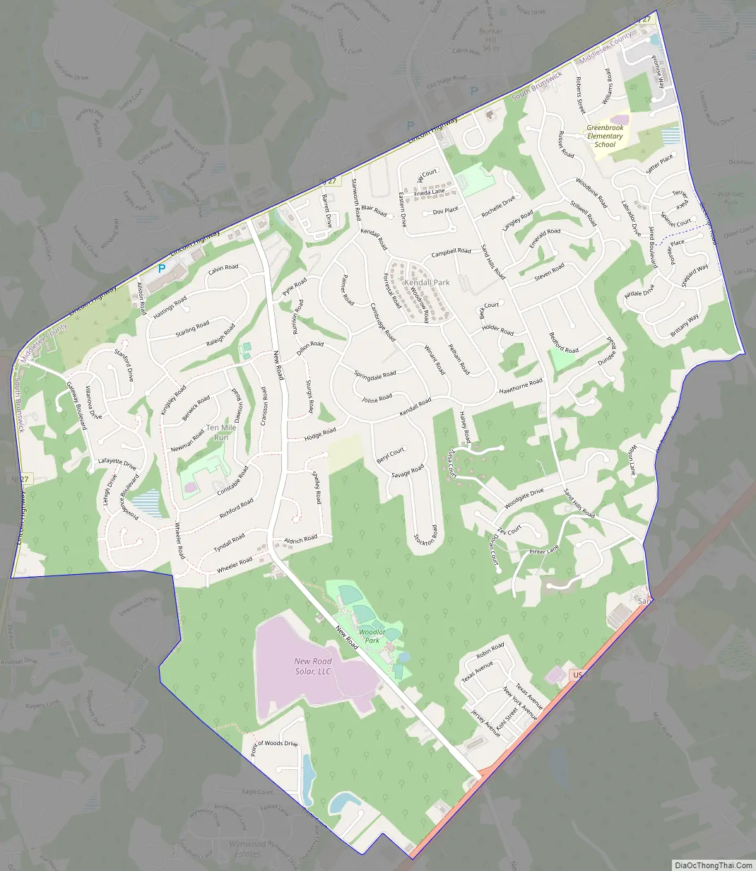
Kendall Park Road Map
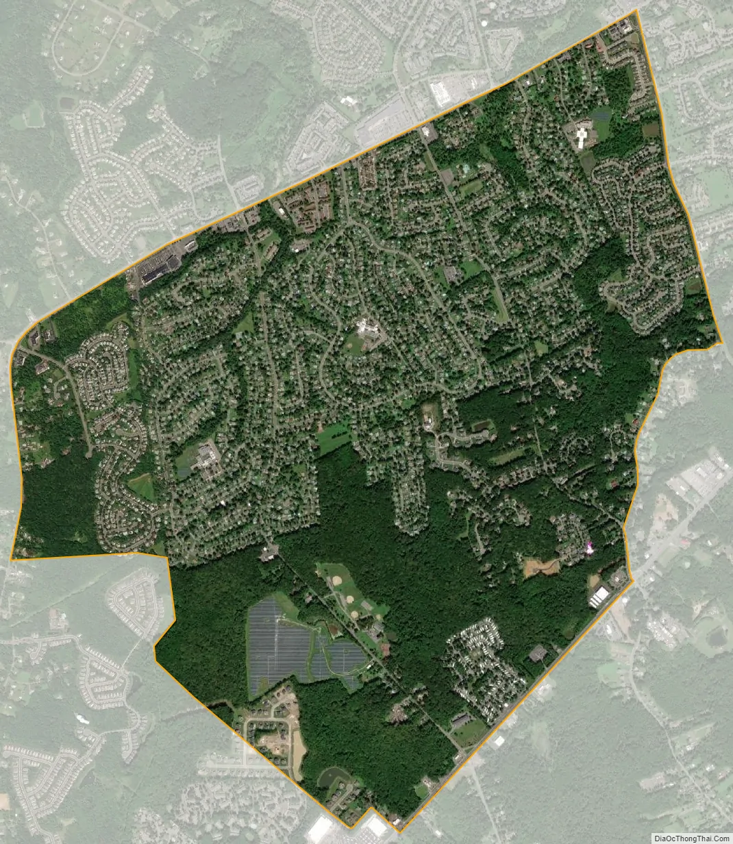
Kendall Park city Satellite Map
Geography
According to the United States Census Bureau, the CDP had a total area of 3.704 square miles (9.594 km), including 3.702 square miles (9.589 km) of land and 0.002 square miles (0.006 km) of water (0.06%).
U.S. Route 1 passes through the eastern edge of the town. New Jersey Route 27 passes through the western edge.
See also
Map of New Jersey State and its subdivision: Map of other states:- Alabama
- Alaska
- Arizona
- Arkansas
- California
- Colorado
- Connecticut
- Delaware
- District of Columbia
- Florida
- Georgia
- Hawaii
- Idaho
- Illinois
- Indiana
- Iowa
- Kansas
- Kentucky
- Louisiana
- Maine
- Maryland
- Massachusetts
- Michigan
- Minnesota
- Mississippi
- Missouri
- Montana
- Nebraska
- Nevada
- New Hampshire
- New Jersey
- New Mexico
- New York
- North Carolina
- North Dakota
- Ohio
- Oklahoma
- Oregon
- Pennsylvania
- Rhode Island
- South Carolina
- South Dakota
- Tennessee
- Texas
- Utah
- Vermont
- Virginia
- Washington
- West Virginia
- Wisconsin
- Wyoming


